Jamacia Wood

Wood, Forest in Lancashire Ribble Valley

England

Jamacia Wood

Mobile Mast LAN0055 on Whalley Nab Delivering Freeview and mobile telephony services in Lancashire.
Mobile Mast LAN0055 on Whalley Nab Credit: Greum

Jamaica Wood, located in Lancashire, England, is a beautiful and tranquil forest area that covers approximately 100 hectares of land. Nestled in the heart of the county, this woodland offers a serene escape from the hustle and bustle of urban life.

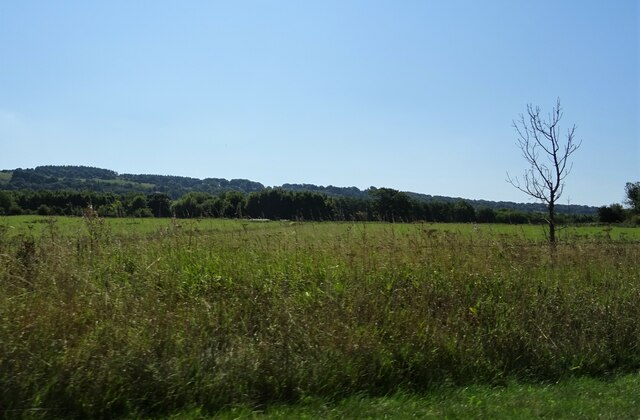
The forest is predominantly made up of native broadleaf trees such as oak, beech, and birch, creating a stunning natural landscape. These trees provide a habitat for a variety of wildlife, including birds, insects, and small mammals, making it a haven for nature enthusiasts and birdwatchers.

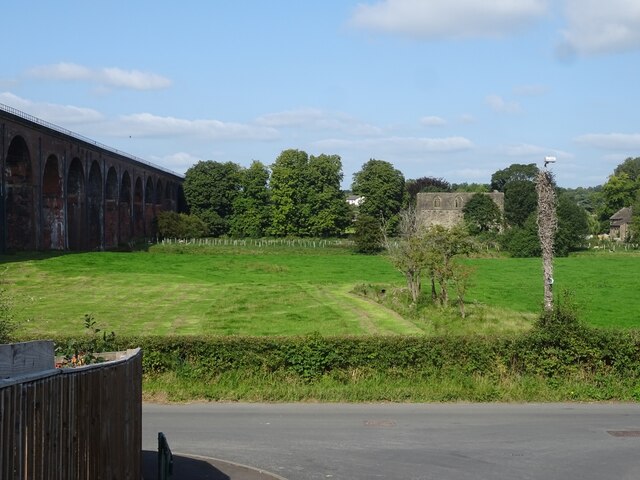
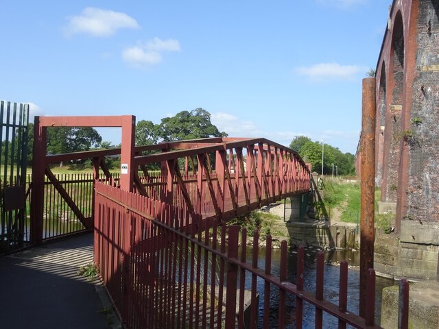
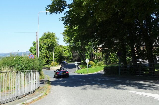
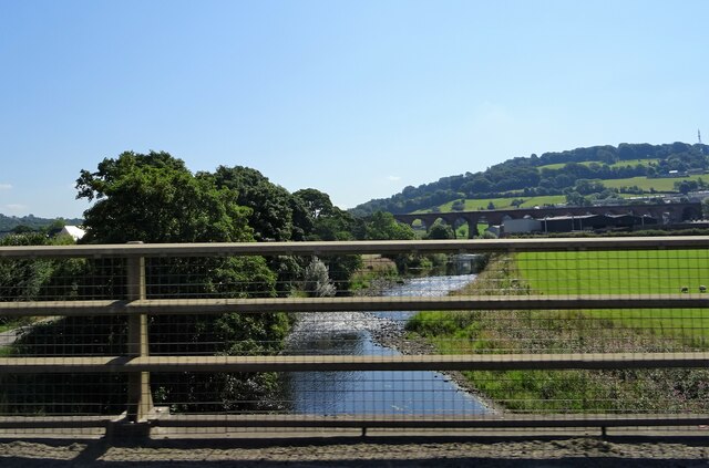
The woodland offers a network of well-maintained footpaths and trails, allowing visitors to explore its diverse terrain. One can wander through the dense woodland, discovering hidden ponds, babbling brooks, and peaceful glades along the way. The forest also boasts a small river, which adds to its charm and provides a picturesque backdrop for leisurely walks.

Jamaica Wood is a popular destination for outdoor activities such as hiking, jogging, and cycling. The tranquil surroundings and fresh air make it an ideal spot for those seeking relaxation and exercise. It also offers designated picnic areas, where visitors can enjoy a packed lunch amidst the natural beauty.

The forest is well-managed by the local authorities, ensuring the preservation of its natural ecosystem and biodiversity. It is easily accessible by car, with ample parking facilities available nearby. Additionally, the wood is conveniently located close to several amenities, including cafes, shops, and accommodation options.

Overall, Jamaica Wood in Lancashire is a scenic retreat that offers a peaceful escape into nature. Whether you are a nature lover, an outdoor enthusiast, or simply seeking a serene spot to unwind, this woodland is sure to captivate and rejuvenate.

If you have any feedback on the listing, please let us know in the comments section below.

Jamacia Wood Images

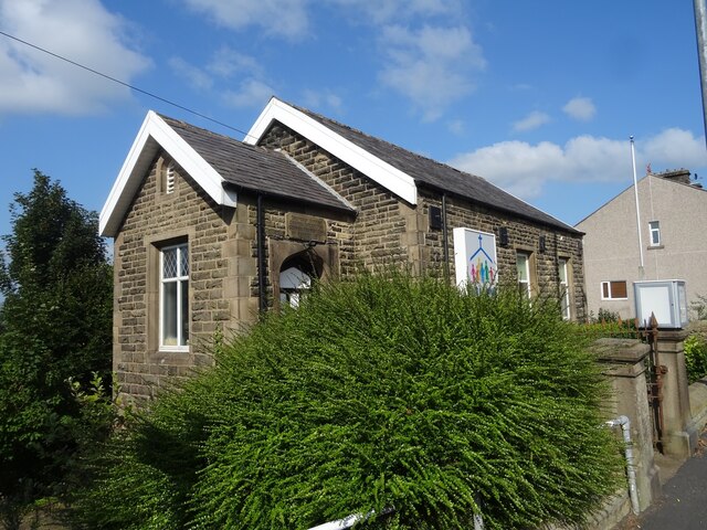
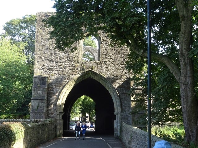
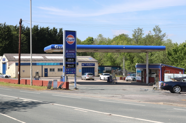
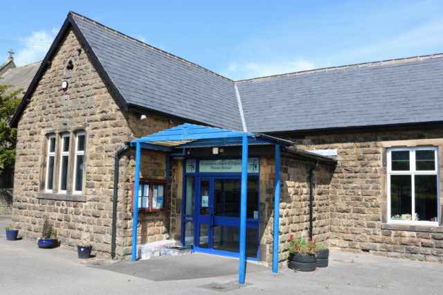
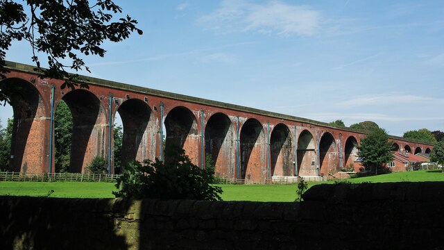
Images are sourced within 2km of 53.810564/-2.4365103 or Grid Reference SD7135. Thanks to Geograph Open Source API. All images are credited.

Mobile Mast LAN0055 on Whalley Nab Delivering Freeview and mobile telephony services in Lancashire.
Mobile Mast LAN0055 on Whalley Nab
Delivering Freeview and mobile telephony services in Lancashire.
Ebenezer Baptist Church, Billington
Whalley Viaduct and Whalley Abbey
Old Sol's Bridge Old Sol's Bridge crosses the River Calder adjacent to Whalley Viaduct.
Old Sol's Bridge
Old Sol's Bridge crosses the River Calder adjacent to Whalley Viaduct.
Decorative arch, Whalley Viaduct One of two infilled arches on Whalley Viaduct, the architect Terrence Wolfe Flanagan commemorating Whalley Abbey with the Gothic motifs.
Decorative arch, Whalley Viaduct
One of two infilled arches on Whalley Viaduct, the architect Terrence Wolfe Flanagan commemorating Whalley Abbey with the Gothic motifs.
Whalley Abbey Gateway
Petre Petrol Station and Garage Petrol Station, Car Wash and Garage
Petre Petrol Station and Garage
Petrol Station, Car Wash and Garage
St Leonard's C of E Primary School Main entrance - original building
St Leonard's C of E Primary School
Main entrance - original building
Clitheroe to Rochdale service (150004)
Whalley Railway Viaduct Viaduct north of the Abbey Gatehouse
Whalley Railway Viaduct
Viaduct north of the Abbey Gatehouse
Northcote Road At its junction with the A59.
Northcote Road
At its junction with the A59.
River Calder from A59 Whalley Viaduct is in the background.
River Calder from A59
Whalley Viaduct is in the background.
Farmland off the A59 Near Billington.
Farmland off the A59
Near Billington.
Village Signpost on the A666 in Langho Located on the east side of the A666 south of its junction with Whalley Road in Billington and Langho parish. 

Milestone Society National ID: LA_SD7034V
Village Signpost on the A666 in Langho
Located on the east side of the A666 south of its junction with Whalley Road in Billington and Langho parish. Milestone Society National ID: LA_SD7034V
Stile Old Nab Road The stile on Old Nab Road just out of York Village. The style provides access to more than one path.
Stile Old Nab Road
The stile on Old Nab Road just out of York Village. The style provides access to more than one path.
Stile on Moor Lane at Nab Top The stile provides access to a footpath that leads across the field towards Shawcliffe Lane.
Stile on Moor Lane at Nab Top
The stile provides access to a footpath that leads across the field towards Shawcliffe Lane.
Stile at Briercliffe Farm The stile situated at the Junction of Moor lane and Shawclffe Lane next to the entrance to Briercliffe Farm.
Stile at Briercliffe Farm
The stile situated at the Junction of Moor lane and Shawclffe Lane next to the entrance to Briercliffe Farm.
Building off Moor Lane Entrance to Buildings at Miles Hill off Moor Lane.
Building off Moor Lane
Entrance to Buildings at Miles Hill off Moor Lane.
Show me another place!

Jamacia Wood is located at Grid Ref: SD7135 (Lat: 53.810564, Lng: -2.4365103)

Administrative County: Lancashire

District: Ribble Valley

Police Authority: Lancashire

What 3 Words

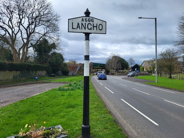
///slab.tickling.slime. Near Billington, Lancashire

Nearby Locations

Jamacia Wood

Related Wikis

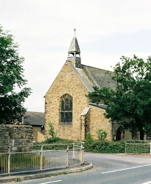
New St Leonard's Church, Langho

New St Leonard's Church is in Whalley New Road, between the villages of Langho and Billington in Lancashire, England. It is an active Anglican parish...

Billington and Langho

Billington and Langho is a civil parish in the Ribble Valley district of Lancashire, England, covering the villages of Billington and Langho and the hamlets...

Northcote, Langho

Northcote is a hotel and restaurant in a 19th-century manor house in Langho, Lancashire, England. The restaurant has held a Michelin star since the 1996...

St Augustine's Roman Catholic High School, Billington

St Augustine's RC High School is a coeducational Roman Catholic secondary school located in Billington, Lancashire, England. == History == The school opened...

Nearby Amenities

Located within 500m of 53.810564,-2.4365103
Bus Stop
Bus: yes
Public Transport: platform
Lat/Long: 53.8095234/-2.4411568
Crossing
Crossing: unmarked
Lat/Long: 53.8107755/-2.4429386
Turning Circle
Lat/Long: 53.8095185/-2.4427579
Mytton Fold Hotel
Tourism: hotel
Lat/Long: 53.8083678/-2.43982
The Fox Field
Tourism: hotel
Lat/Long: 53.8108384/-2.4322026
Bus Stop
Bus: yes
Public Transport: platform
Lat/Long: 53.8087078/-2.4421332
Petre Garage
Opening Hours: Mo-Fr 08:30-17:30, Sa 08:30-12:00
Payment Cash: yes
Payment Cheque: yes
Phone: +44 1254 248136
Service Vehicle Car Repair: yes
Service Vehicle Inspection: yes
Service Vehicle Mot: yes
Service Vehicle Tyres: yes
Shop: car_repair
Website: http://petregarage.co.uk/
Lat/Long: 53.8089468/-2.4422842
Generator Method: photovoltaic
Generator Output Electricity: yes
Generator Source: solar
Generator Type: solar_photovoltaic_panel
Location: roof
Power: generator
Lat/Long: 53.8098061/-2.443114
Generator Method: photovoltaic
Generator Output Electricity: yes
Generator Source: solar
Generator Type: solar_photovoltaic_panel
Location: roof
Power: generator
Lat/Long: 53.8098202/-2.4429948
Generator Method: photovoltaic
Generator Output Electricity: yes
Generator Source: solar
Generator Type: solar_photovoltaic_panel
Location: roof
Power: generator
Lat/Long: 53.8098259/-2.4429224
Generator Method: photovoltaic
Generator Output Electricity: yes
Generator Source: solar
Generator Type: solar_photovoltaic_panel
Location: roof
Power: generator
Lat/Long: 53.8098331/-2.44278
Generator Method: photovoltaic
Generator Output Electricity: yes
Generator Source: solar
Generator Type: solar_photovoltaic_panel
Location: roof
Power: generator
Lat/Long: 53.8093241/-2.4428309
Generator Method: photovoltaic
Generator Output Electricity: yes
Generator Source: solar
Generator Type: solar_photovoltaic_panel
Location: roof
Power: generator
Lat/Long: 53.8093368/-2.4427451
Generator Method: photovoltaic
Generator Output Electricity: yes
Generator Source: solar
Generator Type: solar_photovoltaic_panel
Location: roof
Power: generator
Lat/Long: 53.8093479/-2.4426592
Generator Method: photovoltaic
Generator Output Electricity: yes
Generator Source: solar
Generator Type: solar_photovoltaic_panel
Location: roof
Power: generator
Lat/Long: 53.8093637/-2.4425868
Generator Method: photovoltaic
Generator Output Electricity: yes
Generator Source: solar
Generator Type: solar_photovoltaic_panel
Location: roof
Power: generator
Lat/Long: 53.8097685/-2.4422696
Generator Method: photovoltaic
Generator Output Electricity: yes
Generator Source: solar
Generator Type: solar_photovoltaic_panel
Location: roof
Power: generator
Lat/Long: 53.8097863/-2.4423414
Generator Method: photovoltaic
Generator Output Electricity: yes
Generator Source: solar
Generator Type: solar_photovoltaic_panel
Location: roof
Power: generator
Lat/Long: 53.8098124/-2.4424823
Generator Method: photovoltaic
Generator Output Electricity: yes
Generator Source: solar
Generator Type: solar_photovoltaic_panel
Location: roof
Power: generator
Lat/Long: 53.8098254/-2.4425639
Generator Method: photovoltaic
Generator Output Electricity: yes
Generator Source: solar
Generator Type: solar_photovoltaic_panel
Location: roof
Power: generator
Lat/Long: 53.8096985/-2.4421584
Generator Method: photovoltaic
Generator Output Electricity: yes
Generator Source: solar
Generator Type: solar_photovoltaic_panel
Location: roof
Power: generator
Lat/Long: 53.8096679/-2.4420842
Generator Method: photovoltaic
Generator Output Electricity: yes
Generator Source: solar
Generator Type: solar_photovoltaic_panel
Location: roof
Power: generator
Lat/Long: 53.8095905/-2.4419582
Generator Method: photovoltaic
Generator Output Electricity: yes
Generator Source: solar
Generator Type: solar_photovoltaic_panel
Location: roof
Power: generator
Lat/Long: 53.8095521/-2.4419033
Generator Method: photovoltaic
Generator Output Electricity: yes
Generator Source: solar
Generator Type: solar_photovoltaic_panel
Location: roof
Power: generator
Lat/Long: 53.8098342/-2.4427052
Turning Circle
Lat/Long: 53.8115562/-2.440207
The data included in this document is from www.openstreetmap.org. The data is made available under ODbL.

Have you been to Jamacia Wood?

Leave your review of Jamacia Wood below (or comments, questions and feedback).