Rum Coppice
Wood, Forest in Dorset
England
Rum Coppice
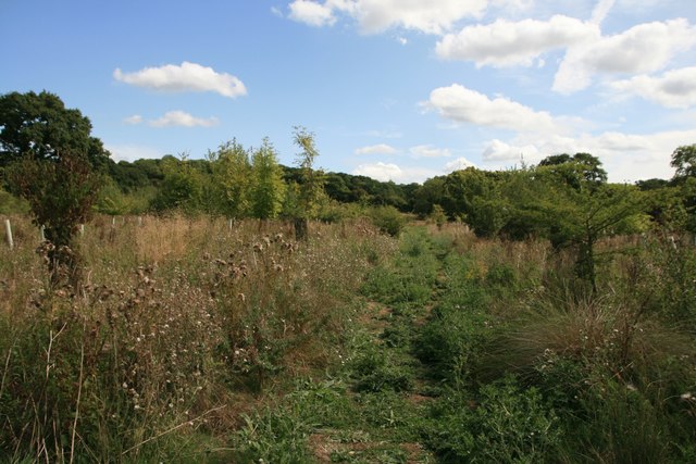
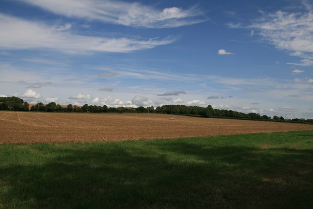
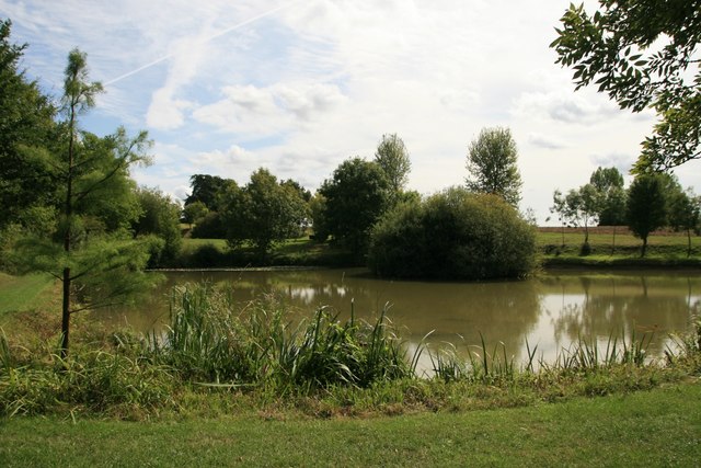
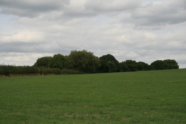
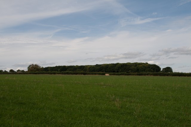
Rum Coppice is a picturesque woodland area located in the county of Dorset, in the southern part of England. Covering an approximate area of 50 hectares, it is a natural haven that offers tranquility and beauty to its visitors.
The woodland is predominantly made up of coppiced trees, which are regularly cut and harvested to encourage new growth. This management technique has created a diverse habitat for wildlife, with a variety of tree species such as oak, ash, hazel, and beech. These trees provide shelter and food for a wide range of animals including birds, small mammals, and insects.
The forest floor is carpeted with a rich undergrowth of wildflowers, ferns, and mosses, adding to the enchanting atmosphere of Rum Coppice. As visitors explore the wood, they may come across ancient woodland indicators such as bluebells and wood anemones, which indicate the age and history of the area.
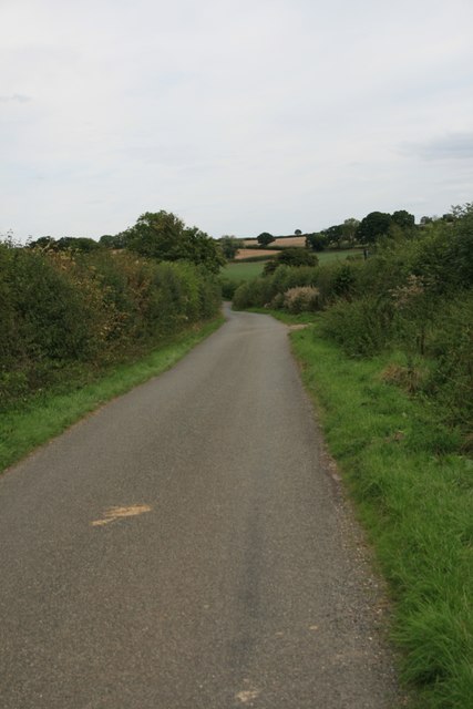
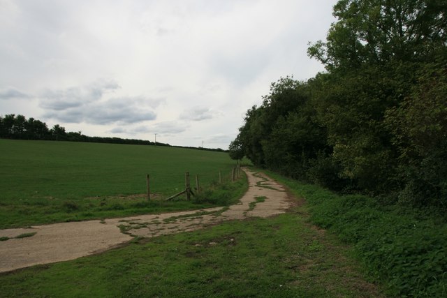
Rum Coppice is a popular destination for nature lovers and walkers, with several well-marked trails that wind through the forest. These paths offer stunning views of the surrounding countryside and provide opportunities for visitors to observe the local wildlife up close.
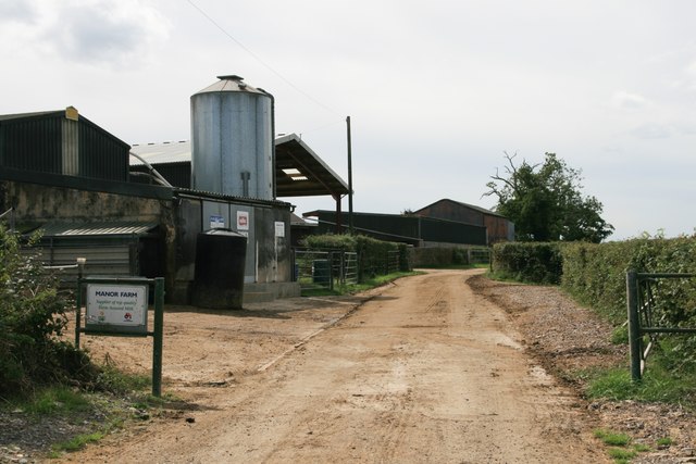
Managed by the local authorities, Rum Coppice is well-maintained and offers a peaceful retreat from the bustling city life. It is a place where visitors can connect with nature, enjoy the fresh air, and appreciate the beauty of the natural world.
If you have any feedback on the listing, please let us know in the comments section below.
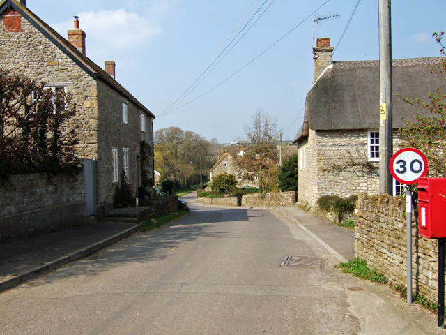
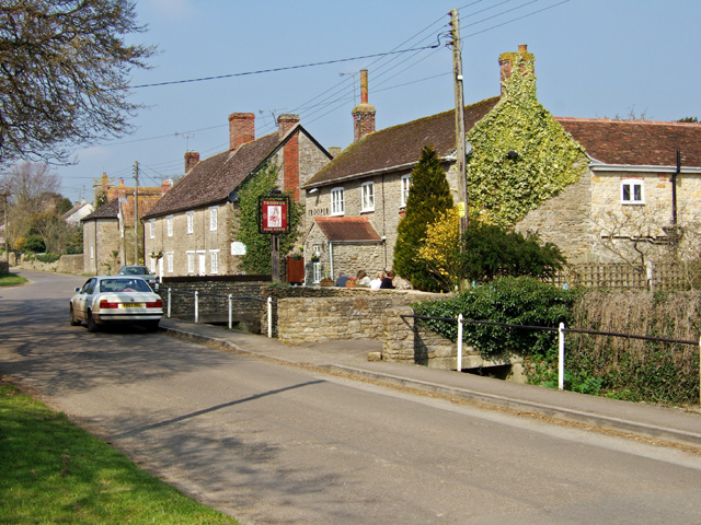
Rum Coppice Images
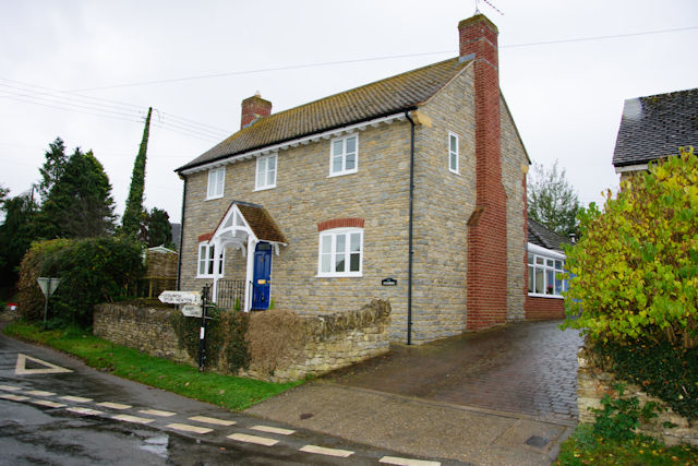
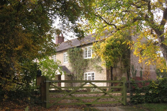
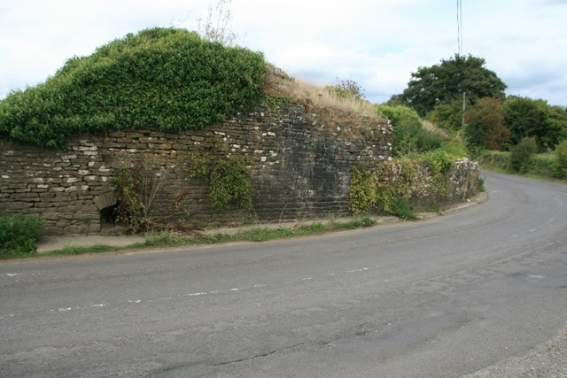
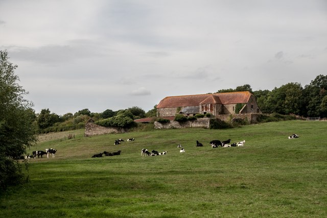
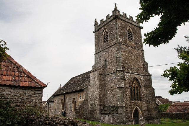
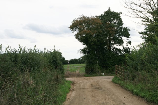
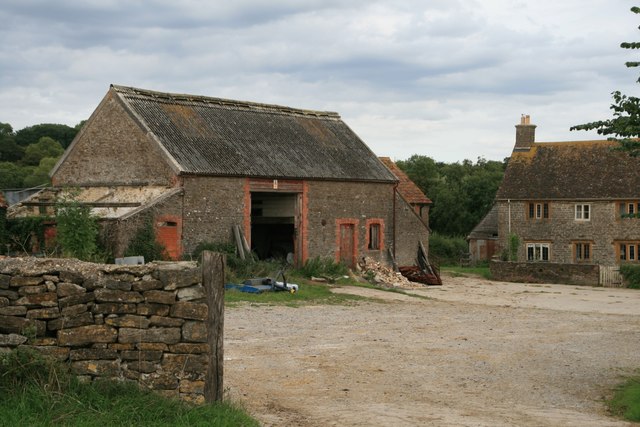
Images are sourced within 2km of 50.944745/-2.4091306 or Grid Reference ST7116. Thanks to Geograph Open Source API. All images are credited.

Rum Coppice is located at Grid Ref: ST7116 (Lat: 50.944745, Lng: -2.4091306)
Unitary Authority: Dorset
Police Authority: Dorset
What 3 Words
///shall.trim.typed. Near Stalbridge, Dorset
Nearby Locations
Related Wikis
Stourton Caundle
Stourton Caundle is a village and civil parish in the county of Dorset in southwest England. It lies within the Blackmore Vale, about five miles (eight...

Purse Caundle
Purse Caundle is a village and civil parish in the county of Dorset in southwest England. It lies within the Dorset Council administrative area, about...

Brownshall Hundred
Brownshall Hundred was a hundred in the county of Dorset, England, containing the following parishes: Holwell (transferred from Somerset 1844) Lydlinch...

Stalbridge
Stalbridge () is a town and civil parish in Dorset, England, situated in the Blackmore Vale, near the border with Somerset. In the 2011 census the civil...
Nearby Amenities
Located within 500m of 50.944745,-2.4091306Have you been to Rum Coppice?
Leave your review of Rum Coppice below (or comments, questions and feedback).