Park Coppice

Wood, Forest in Herefordshire

England

Park Coppice

Lane at Yearsett The track rising on the left gives access to the old railway line, now used as a farm track, at the site of the temporary station of Yearsett, in use 1874-77.
Lane at Yearsett Credit: Peter Whatley

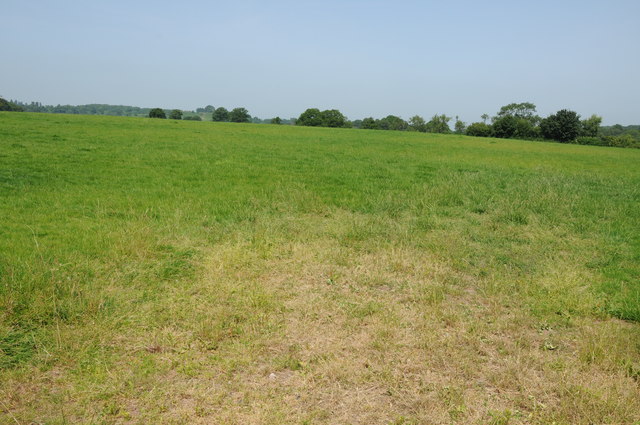
Park Coppice is a woodland located in Herefordshire, England. Situated in the western part of the county, it covers an area of approximately 200 hectares. The coppice is primarily composed of mixed broadleaf trees, including oak, ash, beech, and birch, which create a diverse and vibrant ecosystem.

The woodland is characterized by its dense vegetation and rich biodiversity. It provides a habitat for a wide range of flora and fauna, making it an important conservation area. The forest floor is covered in a thick carpet of mosses, ferns, and wildflowers, creating a beautiful and serene atmosphere for visitors.

Park Coppice offers numerous walking trails and paths that wind through the trees, allowing visitors to explore the woodland and enjoy its natural beauty. The woodland is also home to a variety of wildlife, such as deer, squirrels, and a plethora of bird species, making it an ideal location for birdwatching and wildlife photography.

The coppice has a long history, dating back several centuries. It has been managed sustainably through traditional woodland practices, including coppicing, which involves periodically cutting back trees to stimulate new growth. This practice not only maintains the health and diversity of the woodland but also provides a sustainable source of timber and firewood.

Overall, Park Coppice in Herefordshire is a picturesque woodland that offers a tranquil escape from the hustle and bustle of everyday life. Its lush vegetation, diverse wildlife, and well-maintained trails make it a popular destination for nature lovers, hikers, and photographers alike.

If you have any feedback on the listing, please let us know in the comments section below.
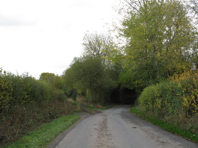
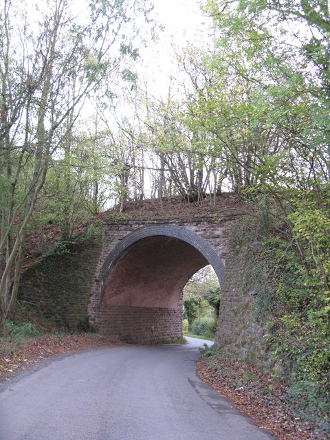
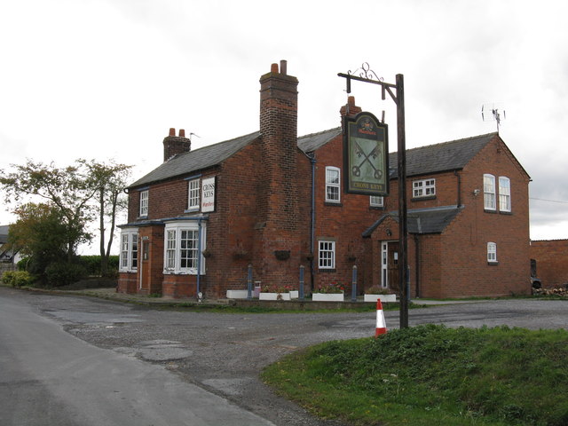
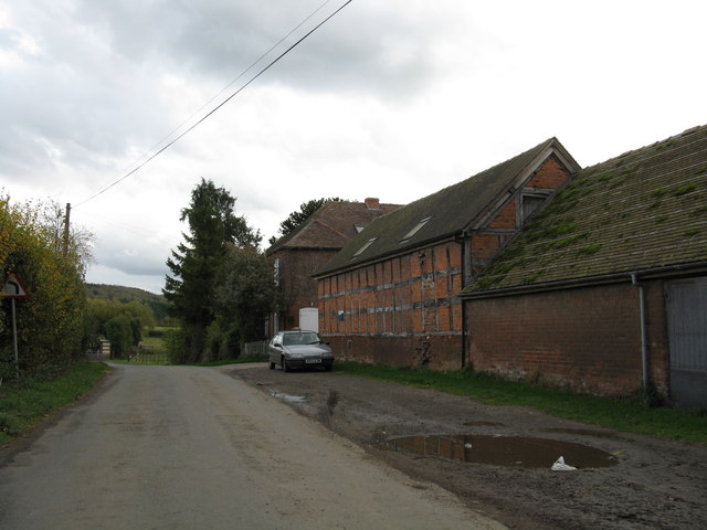
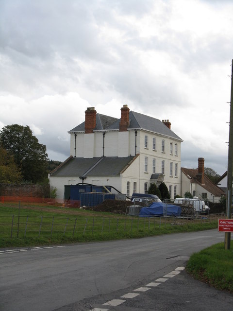
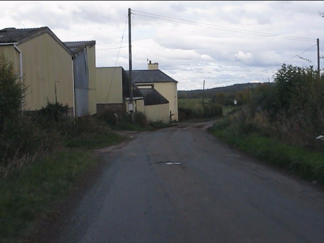
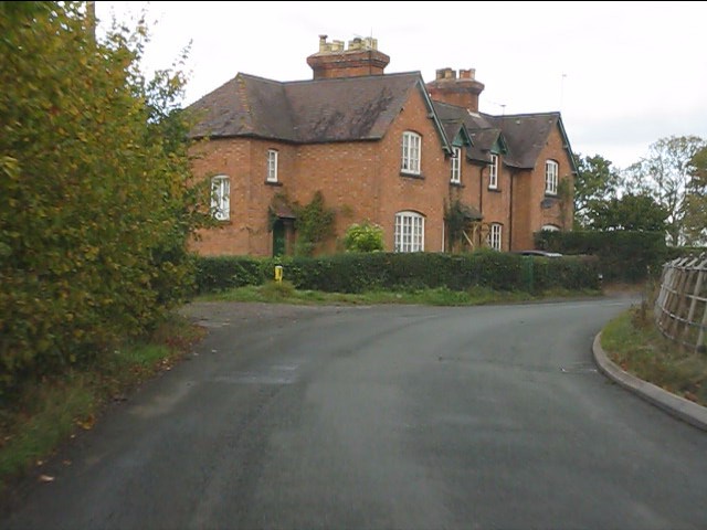
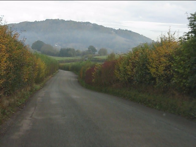
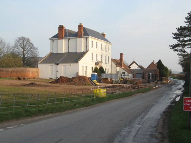
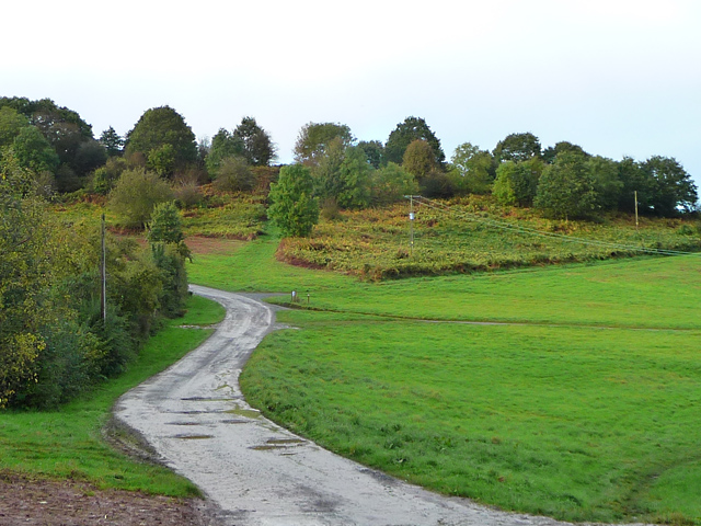
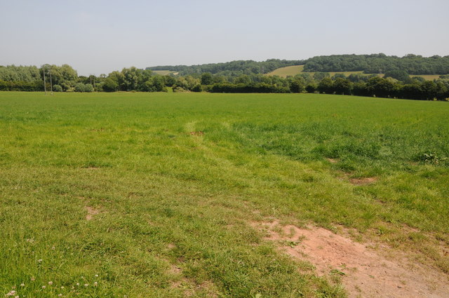
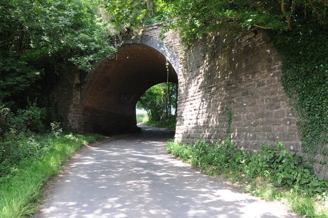
Park Coppice Images

Images are sourced within 2km of 52.185044/-2.4204671 or Grid Reference SO7154. Thanks to Geograph Open Source API. All images are credited.

Lane at Yearsett The track rising on the left gives access to the old railway line, now used as a farm track, at the site of the temporary station of Yearsett, in use 1874-77.
Lane at Yearsett
The track rising on the left gives access to the old railway line, now used as a farm track, at the site of the temporary station of Yearsett, in use 1874-77.
Worcester & Bromyard railway bridge, Yearsett One of several expensive structures on the line.
Worcester & Bromyard railway bridge, Yearsett
One of several expensive structures on the line.
Cross Keys Inn, Suckley Knowl One of two pubs in Suckley, both of which are at the extremities of the parish.
Cross Keys Inn, Suckley Knowl
One of two pubs in Suckley, both of which are at the extremities of the parish.
Lower House Farm
Lower House Farm
The White House
The White House
Lower Yearsett Farm
Lower Yearsett Farm
Houses near The Grove Farm
Heading for Ankerdine Hill The lane from Suckley approaching Knightwick.
Heading for Ankerdine Hill
The lane from Suckley approaching Knightwick.
More work at The White House Although internal work to restore The White House finished over 2 years ago, external work continues. A new iron railing boundary fence and matching gates have been installed alongside Knightwick Road.
More work at The White House
Although internal work to restore The White House finished over 2 years ago, external work continues. A new iron railing boundary fence and matching gates have been installed alongside Knightwick Road.
New garden wall at The White House The whole garden wall is being repaired including reconstruction where necessary, and repointed using materials appropriate to the original construction.
New garden wall at The White House
The whole garden wall is being repaired including reconstruction where necessary, and repointed using materials appropriate to the original construction.
New gates at The White House Part of the 2011/12 renovation of external walls at the property.
New gates at The White House
Part of the 2011/12 renovation of external walls at the property.
A44 at Bringsty Common The emporium to the right sells antique and reclaimed artifacts.
The cafe is worth a stop too.
A44 at Bringsty Common
The emporium to the right sells antique and reclaimed artifacts. The cafe is worth a stop too.
Roadway on Bringsty Common Looking from close to the Live and Let Live pub.
Roadway on Bringsty Common
Looking from close to the Live and Let Live pub.
Grazing land at Suckley Green Fields at Suckley Green with the Suckley Hills in the background.
Grazing land at Suckley Green
Fields at Suckley Green with the Suckley Hills in the background.
Former railway bridge near Suckley Knowl Railway bridge on the former Worcester to Bromyard railway.  The railway opened in  1877 and closed to regular passengers in September 1952.
Former railway bridge near Suckley Knowl
Railway bridge on the former Worcester to Bromyard railway. The railway opened in 1877 and closed to regular passengers in September 1952.
Field near Yearsett Court Bringsty Common can be seen in the background.
Field near Yearsett Court
Bringsty Common can be seen in the background.
Oast House at White House Court, Suckley Large seven square kilned oast house.
Oast House at White House Court, Suckley
Large seven square kilned oast house.
Oast House at White House Court, Suckley Large seven square kilned oast house.
Oast House at White House Court, Suckley
Large seven square kilned oast house.
Show me another place!

Park Coppice is located at Grid Ref: SO7154 (Lat: 52.185044, Lng: -2.4204671)

Unitary Authority: County of Herefordshire

Police Authority: West Mercia

What 3 Words

///generals.however.lengthen. Near Bromyard, Herefordshire

Nearby Locations

Park Coppice Grove Dingle

Related Wikis

Suckley railway station

Suckley railway station was a station in Suckley, Worcestershire, England. The station was opened on 1 March 1878 and closed on 7 September 1964. ��2...

Yearsett railway station

Yearsett railway station was a station to the southeast of Brockhampton, Herefordshire, England. The station was opened on 2 May 1874 as a temporary terminus...

Bringsty Common

Bringsty Common is a scattered settlement and 220 acres (89 ha) of common land in Herefordshire, England, spanning the A44. It lies close to the Worcestershire...

Knightwick

Knightwick is a small village and civil parish (with Doddenham) in the Malvern Hills district in the county of Worcestershire, England. == History... ==

Nearby Amenities

Located within 500m of 52.185044,-2.4204671
Grove Farm
Power: pole
Transformer: distribution
Voltage Primary: 11000
Lat/Long: 52.1845699/-2.4137457
Hamish Park
Power: pole
Transformer: distribution
Voltage Primary: 11000
Lat/Long: 52.1826645/-2.4213964
Power: pole
Lat/Long: 52.1830431/-2.4226436
Power: pole
Lat/Long: 52.1836311/-2.4233316
Power: pole
Lat/Long: 52.1844418/-2.4242838
Clayfoot Barn
Power: pole
Transformer: distribution
Voltage Primary: 11000
Lat/Long: 52.1841322/-2.4268171
Power: pole
Lat/Long: 52.1847235/-2.4258234
Power: pole
Lat/Long: 52.1855584/-2.4256068
Power: pole
Lat/Long: 52.1851477/-2.4251139
Power: pole
Lat/Long: 52.186095/-2.4262539
Power: pole
Lat/Long: 52.1866828/-2.4268641
Upper Elmores End
Power: pole
Transformer: distribution
Voltage Primary: 11000
Lat/Long: 52.1880674/-2.4225873
Power: pole
Lat/Long: 52.1881932/-2.4233356
The data included in this document is from www.openstreetmap.org. The data is made available under ODbL.

Have you been to Park Coppice?

Leave your review of Park Coppice below (or comments, questions and feedback).