Pile Lane Coppice

Wood, Forest in Dorset

England

Pile Lane Coppice

House Fourways at junction at south end of village
House Fourways at junction at south end of village Credit: John Firth

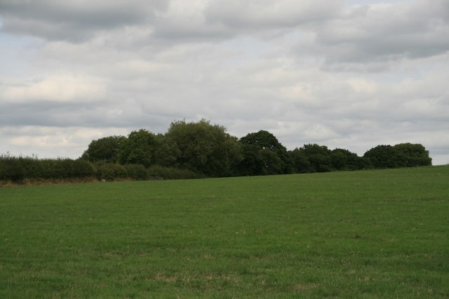
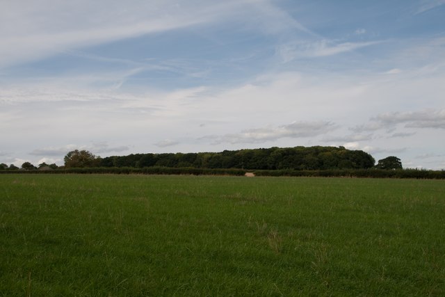
Pile Lane Coppice is a woodland area located in Dorset, England. Covering an area of approximately 50 acres, it is a significant natural feature within the region. The coppice is primarily made up of deciduous trees, including oak, beech, and ash, and is known for its diverse range of flora and fauna.

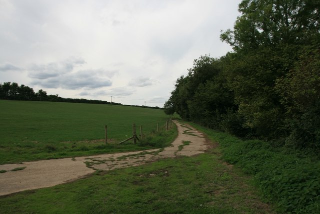
The woodland is a popular destination for nature lovers and outdoor enthusiasts due to its tranquil and picturesque surroundings. Visitors can enjoy walking along the well-maintained trails that wind through the coppice, providing opportunities to observe and appreciate the local wildlife. Squirrels, deer, and a variety of bird species can often be spotted amidst the trees.

Pile Lane Coppice holds great historical significance as well. It is believed to have been used as a source of timber and fuel during the medieval period, and remnants of old charcoal hearths can still be found within the woodland. The coppicing tradition, a method of sustainable woodland management, has been practiced here for centuries.

The management of Pile Lane Coppice is overseen by the local authorities and conservation groups, ensuring the preservation and maintenance of this valuable natural resource. Efforts are made to protect the biodiversity of the area, with ongoing conservation projects and initiatives.

Overall, Pile Lane Coppice offers a peaceful retreat for those seeking a connection with nature. With its abundant wildlife, rich history, and scenic beauty, it remains a cherished destination for both locals and visitors alike.

If you have any feedback on the listing, please let us know in the comments section below.

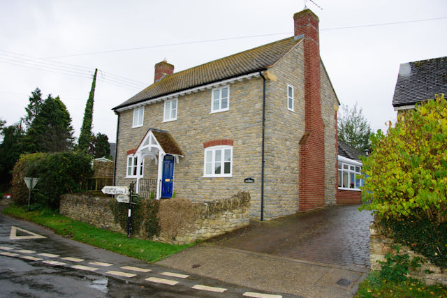
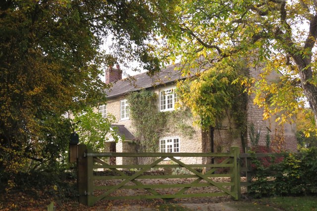
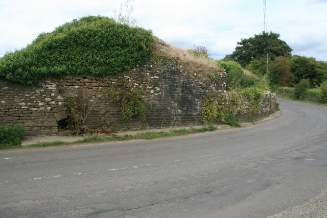
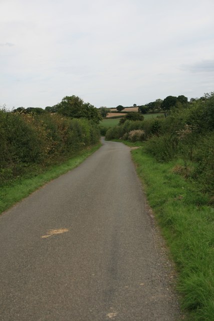
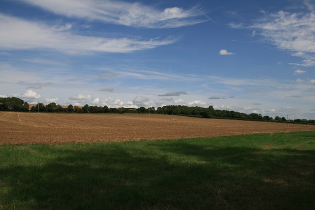
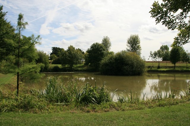
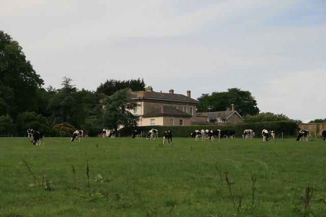
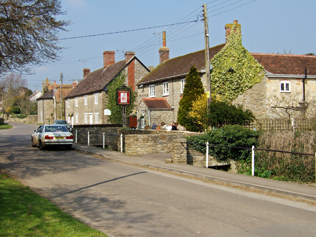
Pile Lane Coppice Images

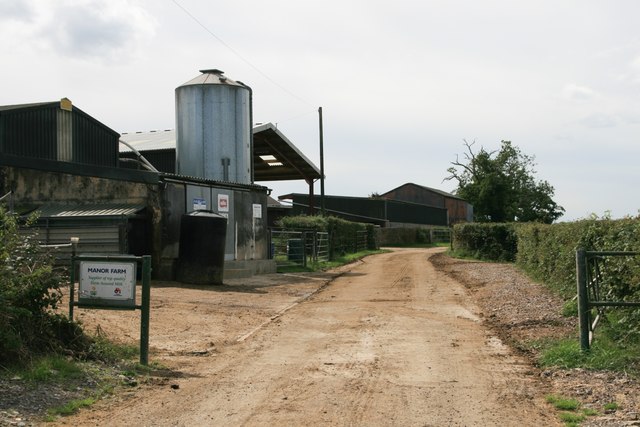
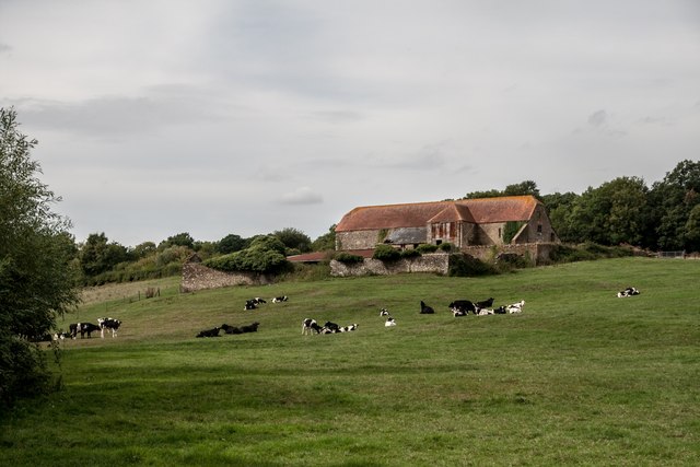
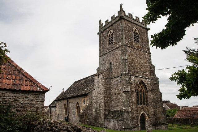
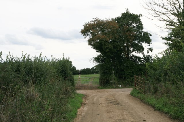
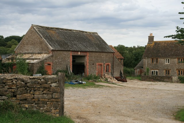
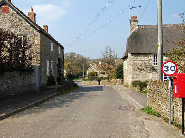
Images are sourced within 2km of 50.945982/-2.4051274 or Grid Reference ST7116. Thanks to Geograph Open Source API. All images are credited.

House Fourways at junction at south end of village
Clayhanger, near Purse Caundle, Dorset
Basel Bridge Stalbridge Part of the Park Wall at Stalbridge
Basel Bridge Stalbridge
Part of the Park Wall at Stalbridge
Drove Road, Stourton Caundle
Farmland, Frith Farm
Pond, Frith House
Pond, Frith House
Haddon Lodge
Haddon Lodge
Sturt Coppice
Sturt Coppice
Manor Farm
Manor Farm
Footpath through farmland, Stourton Caundle
New Leaze Wood
New Leaze Wood
Old Barn near Stalbridge
Benchmark St Peter's Church, Stourton Caundle See also <a href="https://www.geograph.org.uk/photo/5891489">ST7115 : St Peter's Church, Stourton Caundle</a>.
Benchmark St Peter's Church, Stourton Caundle
St Peter's Church, Stourton Caundle There is an Ordnance Survey benchmark on this building, see <a href="https://www.geograph.org.uk/photo/5891488">ST7115 : Benchmark St Peter's Church, Stourton Caundle</a>.
St Peter's Church, Stourton Caundle
There is an Ordnance Survey benchmark on this building, see ST7115 : Benchmark St Peter's Church, Stourton Caundle.
Entrance to Sturt Farm
Sturt Farm
Sturt Farm
Stourton Caundle from the South
Village Street and Pub at Stourton Caundle A fine Spring day, where drinkers at The Trooper were outside, basking in the warm afternoon sun. The pub is Grade II listed, and may have originally been a mid C19 house.
Village Street and Pub at Stourton Caundle
A fine Spring day, where drinkers at The Trooper were outside, basking in the warm afternoon sun. The pub is Grade II listed, and may have originally been a mid C19 house.
Show me another place!

Pile Lane Coppice is located at Grid Ref: ST7116 (Lat: 50.945982, Lng: -2.4051274)

Unitary Authority: Dorset

Police Authority: Dorset

What 3 Words

///lows.thrillers.exclaim. Near Stalbridge, Dorset

Related Wikis

Stourton Caundle

Stourton Caundle is a village and civil parish in the county of Dorset in southwest England. It lies within the Blackmore Vale, about five miles (eight...

Purse Caundle

Purse Caundle is a village and civil parish in the county of Dorset in southwest England. It lies within the Dorset Council administrative area, about...

Brownshall Hundred

Brownshall Hundred was a hundred in the county of Dorset, England, containing the following parishes: Holwell (transferred from Somerset 1844) Lydlinch...

Stalbridge

Stalbridge () is a town and civil parish in Dorset, England, situated in the Blackmore Vale, near the border with Somerset. In the 2011 census the civil...

Nearby Amenities

Located within 500m of 50.945982,-2.4051274
Stalbridge Weston
Is In: Dorset, England, UK
Place: hamlet
Lat/Long: 50.9486252/-2.3996411
Power: pole
Source: bing
Lat/Long: 50.949344/-2.4006736
Power: pole
Source: bing
Lat/Long: 50.9501526/-2.4049839
Power: pole
Source: bing
Lat/Long: 50.9498163/-2.4042061
Power: pole
Source: bing
Lat/Long: 50.9494716/-2.4033988
Power: pole
Source: bing
Lat/Long: 50.9491252/-2.402582
Poles: bipole
Power: pole
Source: bing
Transformer: distribution
Lat/Long: 50.9491658/-2.4013308
Power: pole
Source: bing
Lat/Long: 50.9487686/-2.4017452
Power: pole
Source: bing
Lat/Long: 50.9482363/-2.4023017
Power: pole
Source: bing
Lat/Long: 50.94747/-2.4025954
Power: pole
Source: bing
Lat/Long: 50.9467493/-2.4028543
Power: pole
Source: bing
Lat/Long: 50.945971/-2.4031305
Power: pole
Source: bing
Lat/Long: 50.9419421/-2.4025793
Power: pole
Source: bing
Lat/Long: 50.9423333/-2.4032848
Power: pole
Source: bing
Lat/Long: 50.9451954/-2.4034229
Power: pole
Source: bing
Transformer: distribution
Lat/Long: 50.9441298/-2.4004792
Power: pole
Source: bing
Lat/Long: 50.9439701/-2.4016406
Power: pole
Source: bing
Lat/Long: 50.9438104/-2.4028087
Power: pole
Source: bing
Lat/Long: 50.944423/-2.4036938
Power: pole
Source: bing
Lat/Long: 50.9436431/-2.4039821
Power: pole
Source: bing
Lat/Long: 50.9428725/-2.404253
Power: pole
Source: bing
Lat/Long: 50.9420891/-2.404945
The data included in this document is from www.openstreetmap.org. The data is made available under ODbL.

Have you been to Pile Lane Coppice?

Leave your review of Pile Lane Coppice below (or comments, questions and feedback).