Herridge Coppice
Wood, Forest in Dorset
England
Herridge Coppice
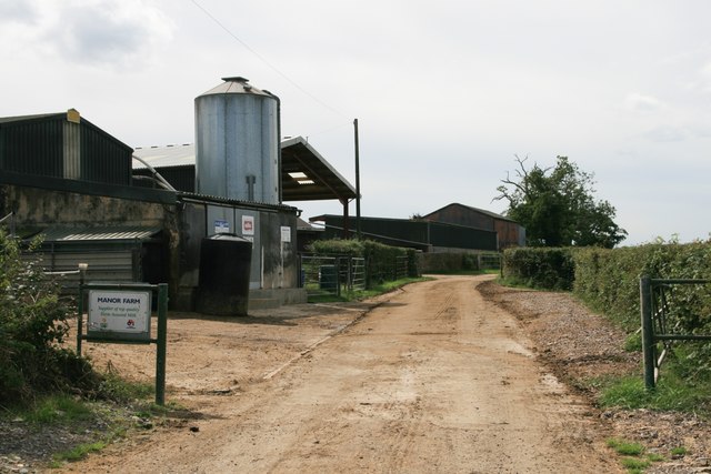
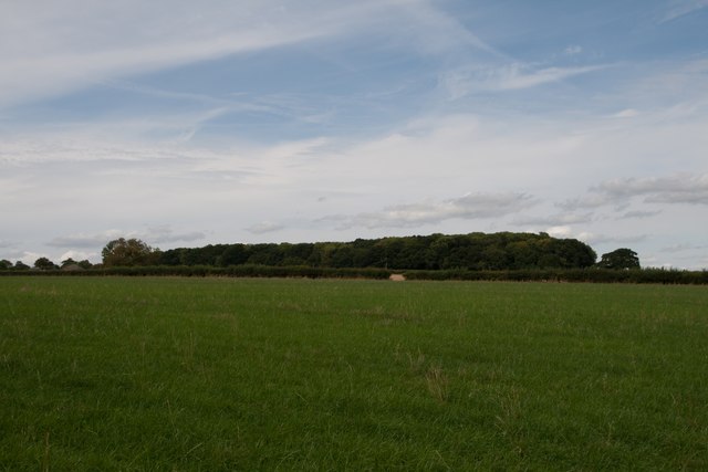
Herridge Coppice, located in the county of Dorset, is a picturesque wood that offers visitors a serene and enchanting experience. Covering an area of approximately 100 acres, it is a haven for nature enthusiasts and those seeking tranquility amidst the beauty of the countryside.
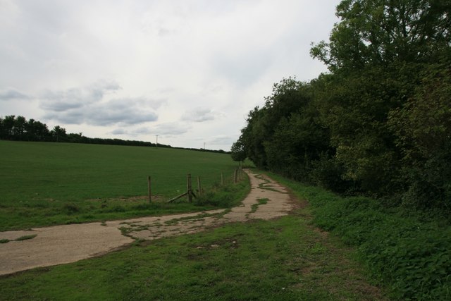
The coppice is predominantly made up of native broadleaf trees such as oak, ash, and beech, with their sprawling branches creating a dense canopy that filters sunlight and casts dappled shadows on the forest floor. The undergrowth is a tapestry of ferns, bluebells, and wildflowers, adding to the enchanting atmosphere of the wood.
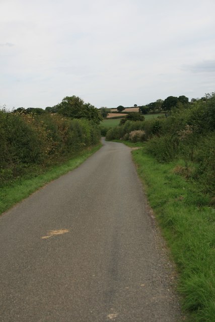
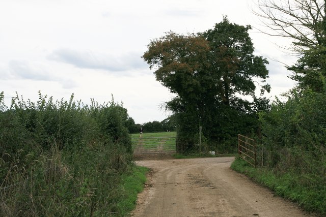
A network of well-maintained footpaths and trails meander through Herridge Coppice, allowing visitors to explore its natural wonders at their own pace. The paths are marked, making navigation easy, and there are several picnic spots and benches strategically placed for visitors to rest and immerse themselves in the peaceful surroundings.
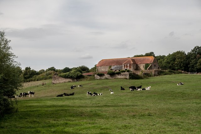
The coppice is home to a diverse array of wildlife, including deer, foxes, and a variety of bird species. Nature enthusiasts will be delighted by the opportunity to spot and observe these animals in their natural habitat. The wood also provides an ideal habitat for a range of insects, with butterflies and dragonflies often seen fluttering among the foliage.
Herridge Coppice is a popular destination for both locals and tourists, offering a respite from the hustle and bustle of daily life. Its natural beauty and tranquil atmosphere make it a perfect place for a leisurely stroll, a picnic with loved ones, or simply to connect with nature and enjoy the soothing sounds of the forest.
If you have any feedback on the listing, please let us know in the comments section below.
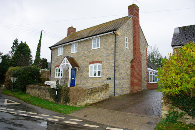
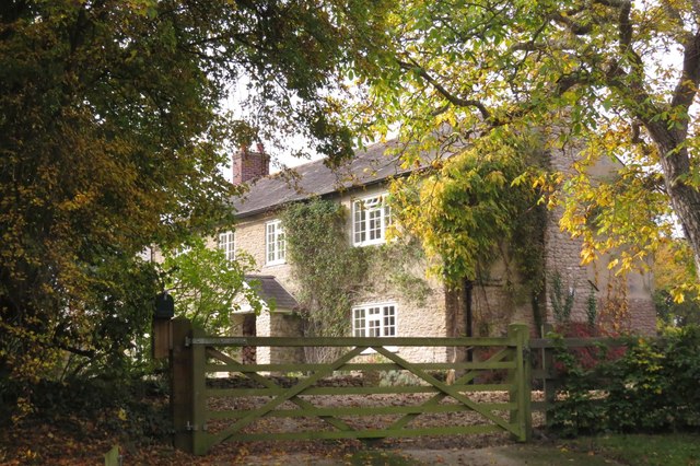
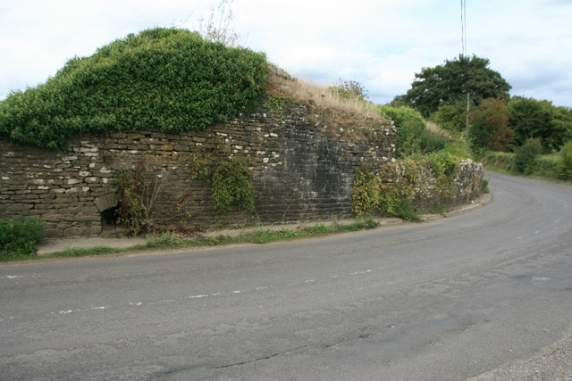
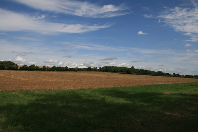
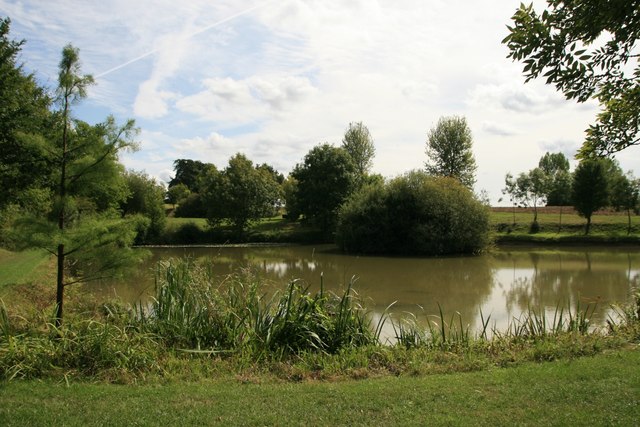
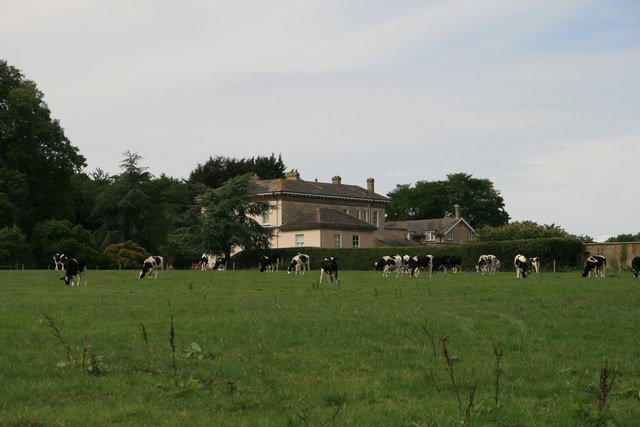
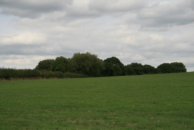
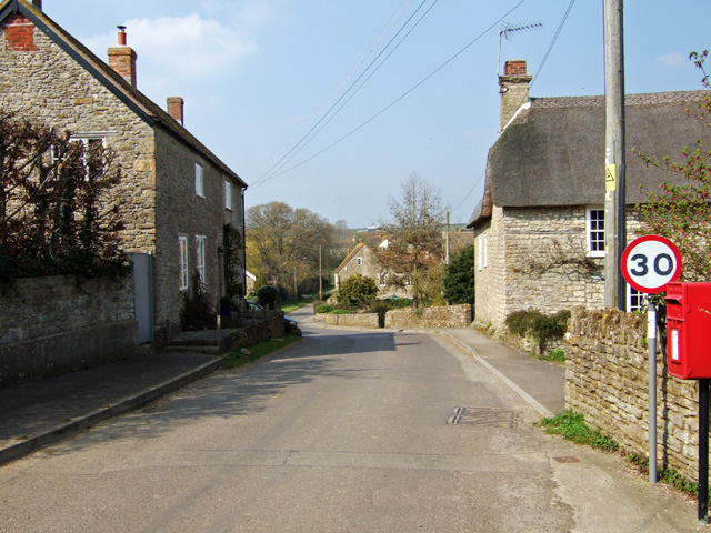
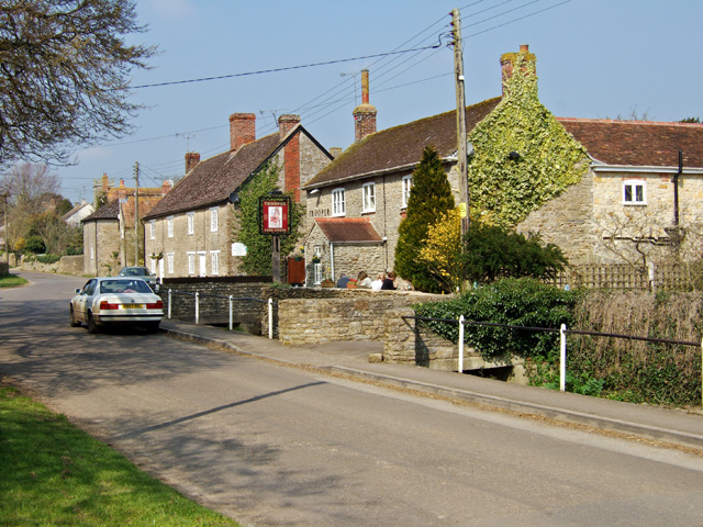
Herridge Coppice Images
Images are sourced within 2km of 50.943225/-2.4066691 or Grid Reference ST7116. Thanks to Geograph Open Source API. All images are credited.
Herridge Coppice is located at Grid Ref: ST7116 (Lat: 50.943225, Lng: -2.4066691)
Unitary Authority: Dorset
Police Authority: Dorset
What 3 Words
///node.secret.swordfish. Near Stalbridge, Dorset
Nearby Locations
Related Wikis

Stourton Caundle
Stourton Caundle is a village and civil parish in the county of Dorset in southwest England. It lies within the Blackmore Vale, about five miles (eight...

Purse Caundle
Purse Caundle is a village and civil parish in the county of Dorset in southwest England. It lies within the Dorset Council administrative area, about...

Brownshall Hundred
Brownshall Hundred was a hundred in the county of Dorset, England, containing the following parishes: Holwell (transferred from Somerset 1844) Lydlinch...

Stalbridge
Stalbridge () is a town and civil parish in Dorset, England, situated in the Blackmore Vale, near the border with Somerset. In the 2011 census the civil...
Nearby Amenities
Located within 500m of 50.943225,-2.4066691Have you been to Herridge Coppice?
Leave your review of Herridge Coppice below (or comments, questions and feedback).