Deepdale Covert
Wood, Forest in Shropshire
England
Deepdale Covert
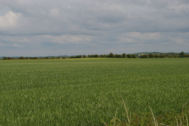
Deepdale Covert is a picturesque woodland located in the county of Shropshire, England. This enchanting forest covers an area of approximately 100 acres and is situated in the heart of the sprawling Shropshire Hills, a designated Area of Outstanding Natural Beauty.
The woodland is characterized by its diverse range of trees, including oak, beech, birch, and hazel, which create a stunning canopy of foliage overhead. Beneath this leafy cover, visitors will find a rich tapestry of wildflowers, ferns, and mosses, adding to the magical atmosphere of the covert.
Deepdale Covert is renowned for its remarkable biodiversity. The forest provides a haven for an array of wildlife, including deer, foxes, badgers, and a variety of bird species such as woodpeckers, owls, and songbirds. The diverse habitats within the covert, from open glades to shaded groves, ensure that a wide range of species can thrive in this natural environment.
Walking trails wind their way through the woodland, offering visitors the opportunity to explore its hidden corners and discover its hidden treasures. These trails lead to secluded clearings, babbling brooks, and impressive rock formations, providing a sense of adventure and discovery.
Deepdale Covert is a popular destination for nature enthusiasts, photographers, and those seeking tranquility away from the hustle and bustle of everyday life. Its breathtaking beauty and sense of peace make it an ideal spot for a leisurely stroll, wildlife spotting, or simply immersing oneself in nature's wonders.
If you have any feedback on the listing, please let us know in the comments section below.
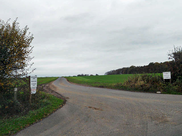
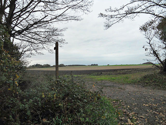
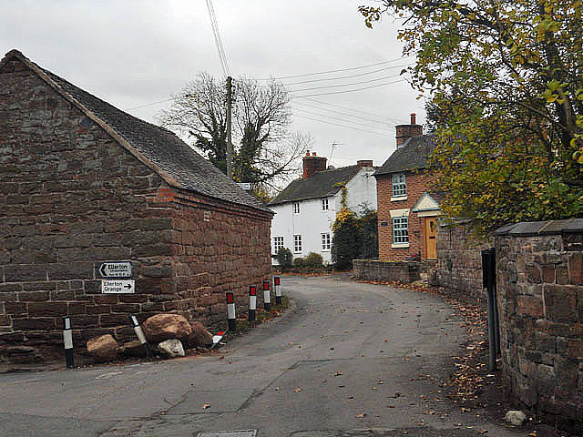
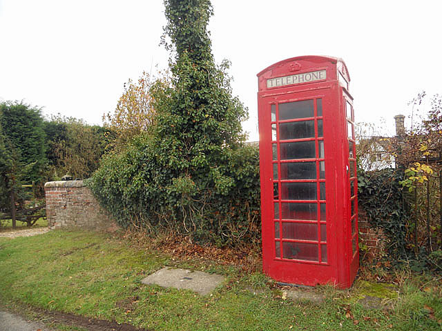
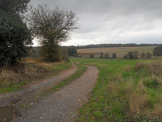
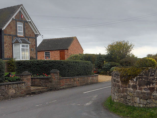
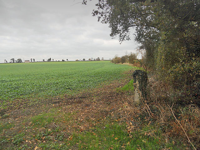
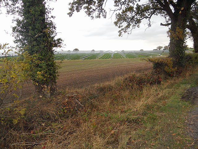
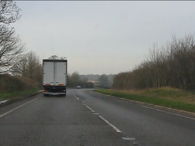
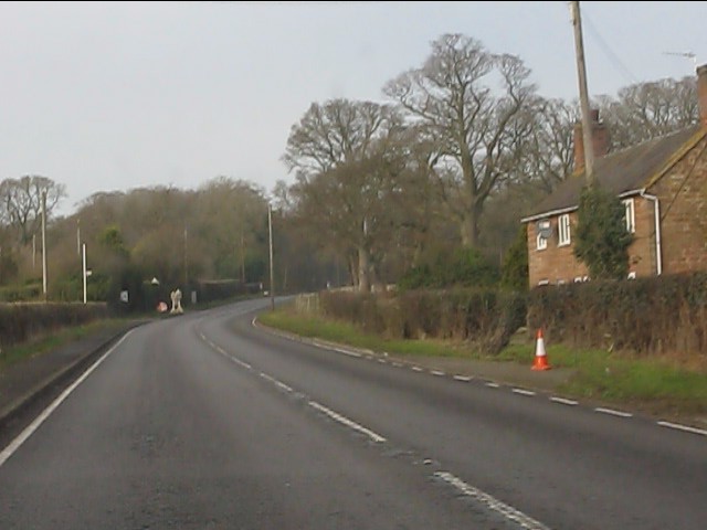
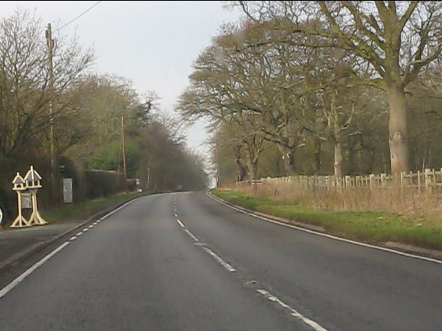
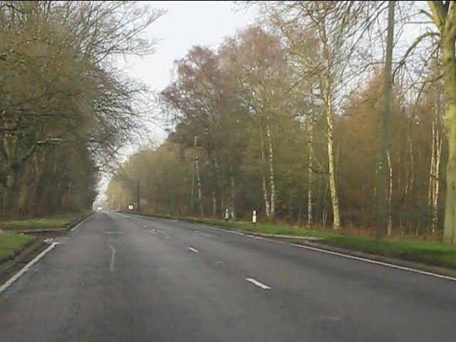
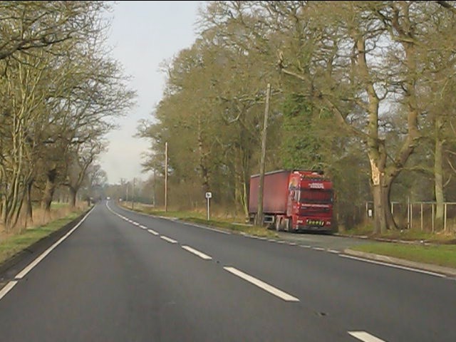
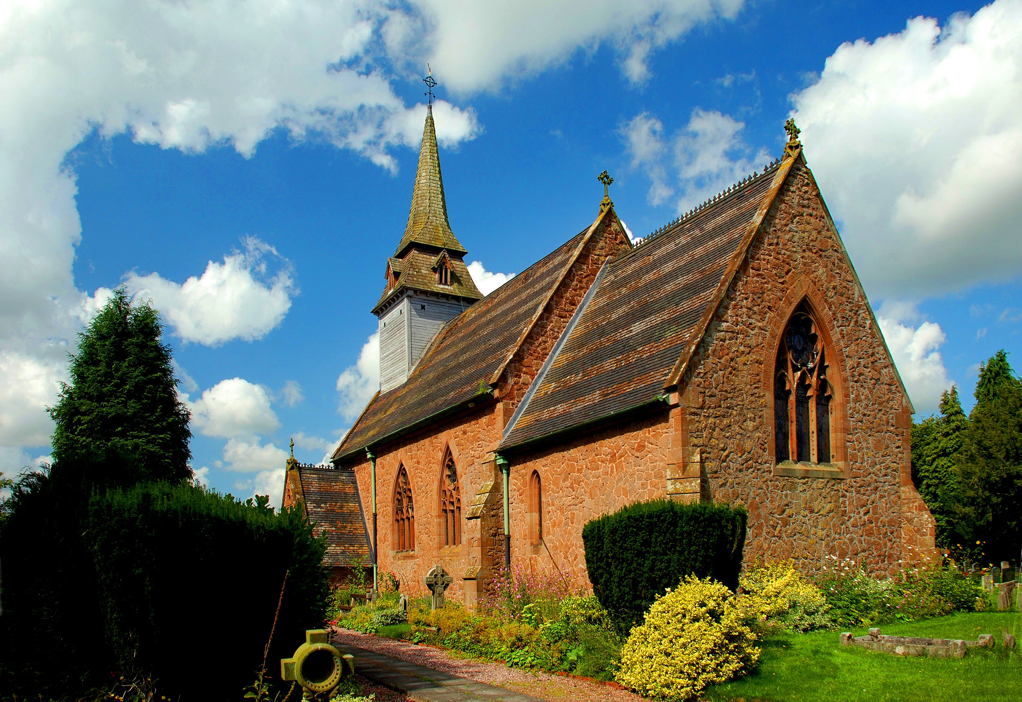
Deepdale Covert Images
Images are sourced within 2km of 52.809621/-2.4237713 or Grid Reference SJ7123. Thanks to Geograph Open Source API. All images are credited.

Deepdale Covert is located at Grid Ref: SJ7123 (Lat: 52.809621, Lng: -2.4237713)
Unitary Authority: Telford and Wrekin
Police Authority: West Mercia
What 3 Words
///slowly.eyelash.irritate. Near Chetwynd, Shropshire
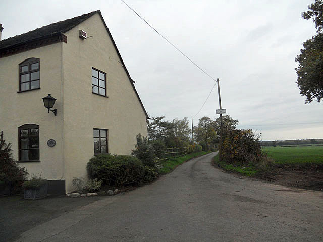
Nearby Locations
Related Wikis
Sambrook, Shropshire
Sambrook is a small village in the ceremonial county of Shropshire, where it is part of the civil parish of Chetwynd, north of the town of Newport. To...

RAF Chetwynd
Royal Air Force Chetwynd or more simply RAF Chetwynd is a former Royal Air Force satellite station located in Chetwynd, Shropshire, England. The following...

Pickstock
Pickstock is a hamlet in the civil parish of Chetwynd, in the Telford and Wrekin district, in the ceremonial county of Shropshire, England. It is near...

Ellerton, Shropshire
Ellerton is a small hamlet in Shropshire, England. It lies in a rather isolated rural area several miles north of the town of Newport, close to the village...
Nearby Amenities
Located within 500m of 52.809621,-2.4237713Have you been to Deepdale Covert?
Leave your review of Deepdale Covert below (or comments, questions and feedback).