Standford Wood
Wood, Forest in Shropshire
England
Standford Wood
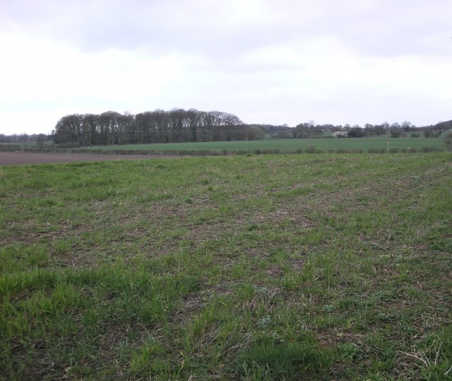
Stanford Wood is a picturesque woodland located in Shropshire, England. Covering an approximate area of 200 acres, it is renowned for its natural beauty and rich diversity of flora and fauna. The woodland is situated near the village of Stanford, within close proximity to the larger towns of Bridgnorth and Wolverhampton.
The wood is predominantly made up of broadleaf trees, including oak, beech, and ash, which create a dense canopy overhead. The forest floor is carpeted with a variety of wildflowers, ferns, and mosses, adding to the enchanting atmosphere of the wood.
Stanford Wood is home to a wide range of wildlife, making it a haven for nature enthusiasts and bird watchers. Visitors may spot woodland birds such as woodpeckers, owls, and various species of songbirds. Mammals such as foxes, badgers, and deer also inhabit the wood, often seen during quiet walks or early morning explorations.
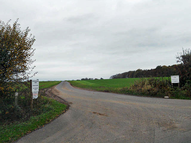
The wood offers a network of well-maintained footpaths and trails, allowing visitors to immerse themselves in the tranquility of nature. These paths wind through the trees, leading to hidden clearings and small ponds, providing opportunities for peaceful picnics or simply enjoying the natural surroundings.
Stanford Wood is managed by a dedicated team of conservationists who work to protect and preserve its unique ecosystem. They actively engage in sustainable practices, ensuring the woodland remains a thriving habitat for its inhabitants.
Overall, Stanford Wood is a cherished natural gem in Shropshire, attracting both locals and tourists alike with its stunning scenery, diverse wildlife, and serene ambiance. It serves as a testament to the importance of preserving and appreciating the beauty of our natural world.
If you have any feedback on the listing, please let us know in the comments section below.
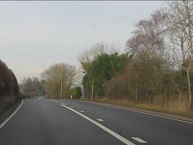
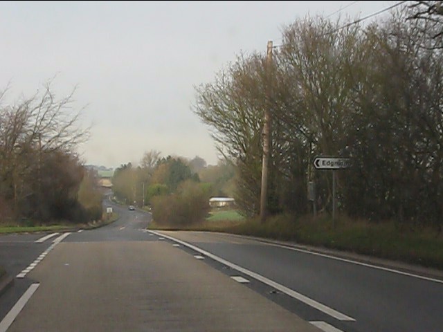
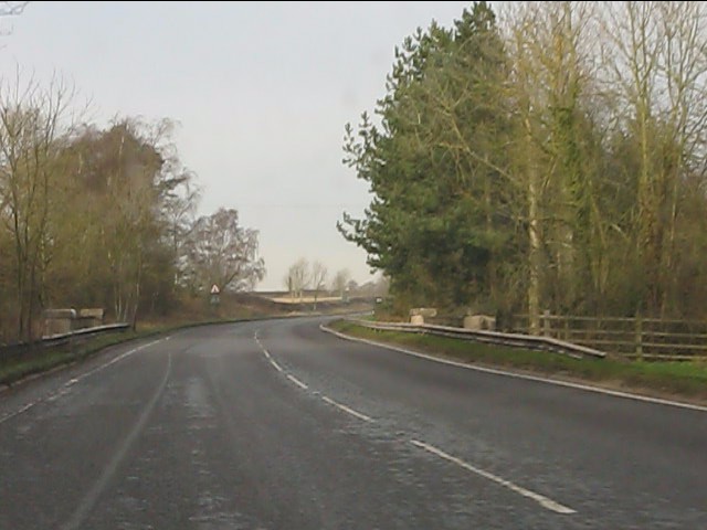
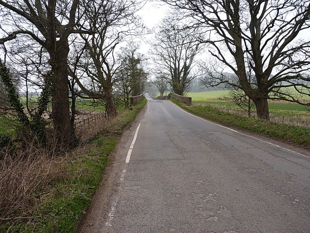
Standford Wood Images
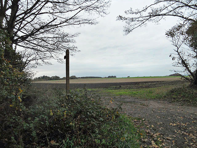
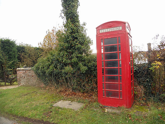
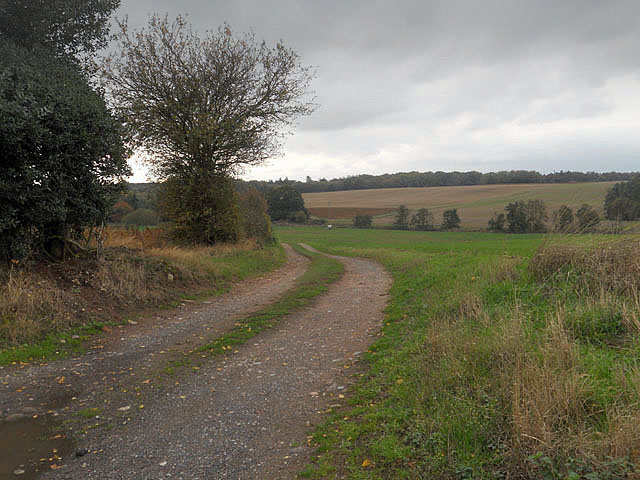
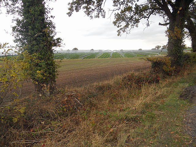
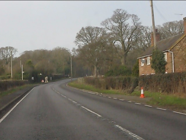
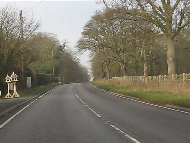
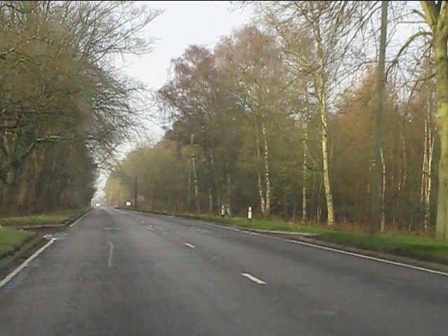
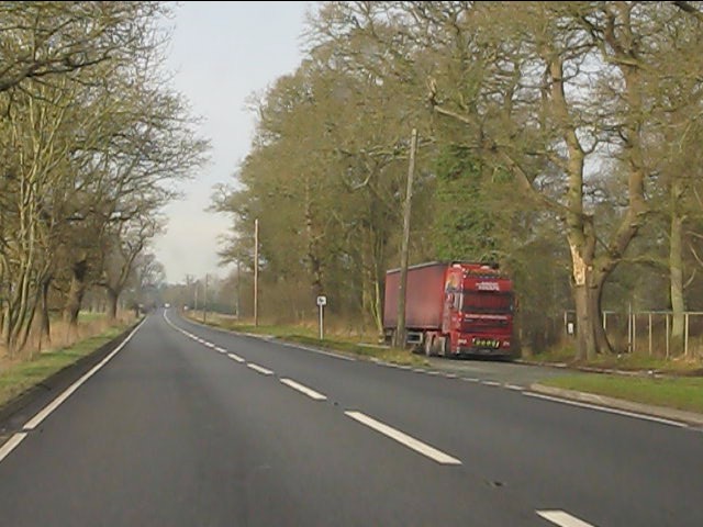
Images are sourced within 2km of 52.797917/-2.4236575 or Grid Reference SJ7122. Thanks to Geograph Open Source API. All images are credited.


Standford Wood is located at Grid Ref: SJ7122 (Lat: 52.797917, Lng: -2.4236575)
Unitary Authority: Telford and Wrekin
Police Authority: West Mercia
What 3 Words
///springing.sizing.bibs. Near Chetwynd, Shropshire
Nearby Locations
Related Wikis

Pickstock
Pickstock is a hamlet in the civil parish of Chetwynd, in the Telford and Wrekin district, in the ceremonial county of Shropshire, England. It is near...

RAF Chetwynd
Royal Air Force Chetwynd or more simply RAF Chetwynd is a former Royal Air Force satellite station located in Chetwynd, Shropshire, England. The following...
Harper Adams University
Harper Adams University, founded in 1901 as Harper Adams College, is a public university located close to the village of Edgmond, near Newport, in Shropshire...

Chetwynd Park estate
The Chetwynd Park estate lies in the small village of Chetwynd on the outskirts of the town of Newport, Shropshire, England. The estate is positioned in...
Have you been to Standford Wood?
Leave your review of Standford Wood below (or comments, questions and feedback).