West Wood
Wood, Forest in Dorset
England
West Wood
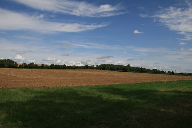
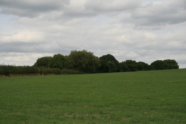
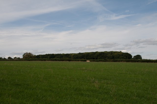
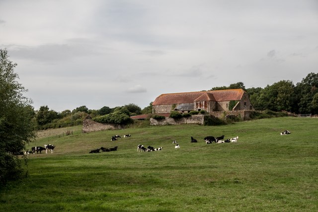
West Wood is a picturesque forest located in the county of Dorset, England. Covering an area of approximately 300 hectares, it is a popular destination for nature enthusiasts and outdoor activities. The wood is situated near the village of West Moors, just a few miles north of the town of Ferndown.
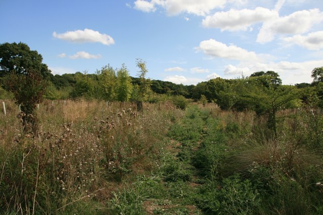
West Wood is predominantly composed of broadleaf trees, including oak, beech, and birch, which create a diverse and vibrant ecosystem. The forest floor is covered in a thick carpet of mosses, ferns, and wildflowers, providing a haven for a variety of wildlife species.
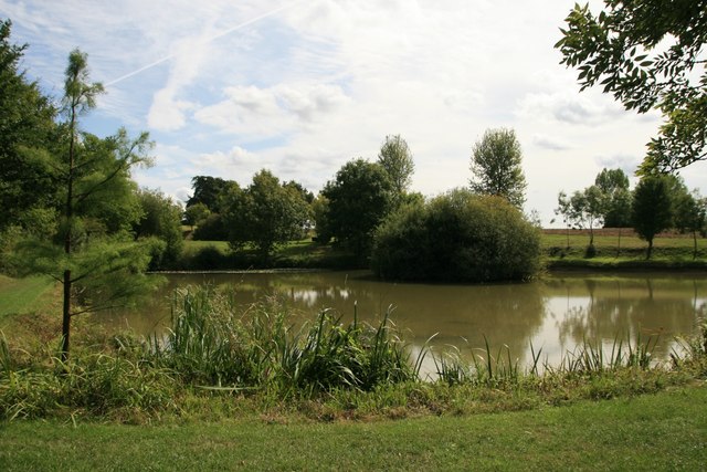
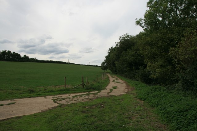
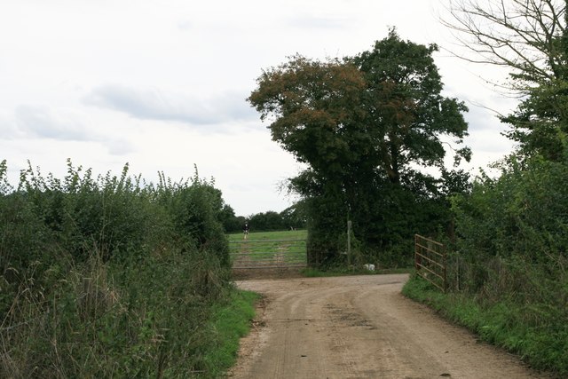
The wood offers numerous walking trails and paths, allowing visitors to explore its enchanting surroundings. These trails range from easy strolls to more challenging hikes, catering to all levels of fitness and interests. Along the way, visitors can enjoy breathtaking views, tranquil ponds, and meandering streams.
The woods are home to an abundance of wildlife, including deer, foxes, badgers, and a wide range of bird species. Nature lovers can observe these creatures in their natural habitat and may even be lucky enough to spot some rare and elusive species.
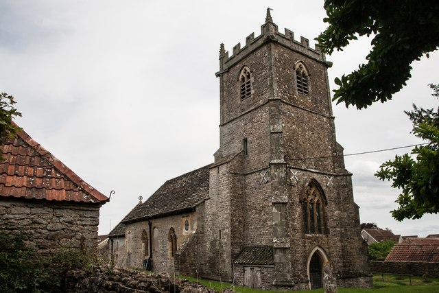
West Wood also boasts a rich historical background. It was once part of the ancient forest of Cranborne Chase, and remnants of its past can still be seen today, such as the remains of Iron Age hillforts and burial mounds.
Overall, West Wood is a captivating and idyllic destination, offering visitors a chance to immerse themselves in the beauty of nature and explore the rich history of the area.
If you have any feedback on the listing, please let us know in the comments section below.
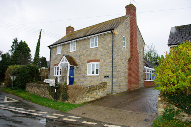
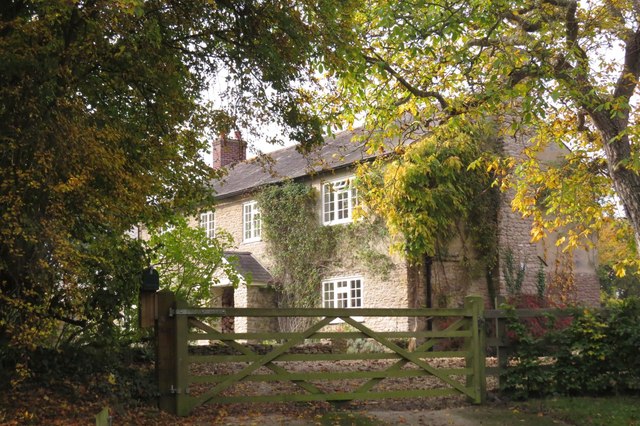
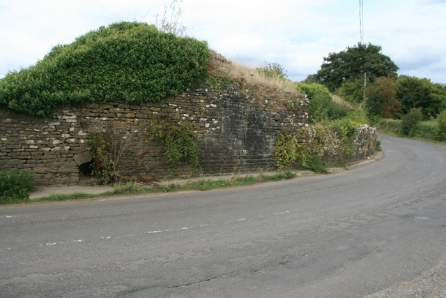
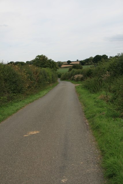
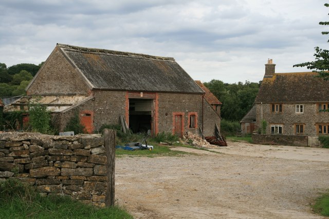
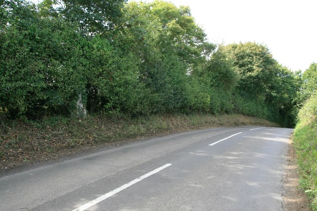
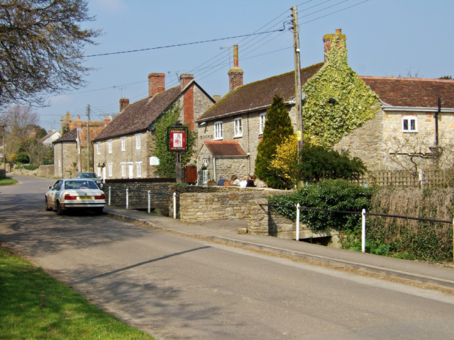
West Wood Images
Images are sourced within 2km of 50.946841/-2.4064729 or Grid Reference ST7116. Thanks to Geograph Open Source API. All images are credited.
West Wood is located at Grid Ref: ST7116 (Lat: 50.946841, Lng: -2.4064729)
Unitary Authority: Dorset
Police Authority: Dorset
What 3 Words
///knees.journals.appraised. Near Stalbridge, Dorset
Nearby Locations
Related Wikis
Stourton Caundle
Stourton Caundle is a village and civil parish in the county of Dorset in southwest England. It lies within the Blackmore Vale, about five miles (eight...

Purse Caundle
Purse Caundle is a village and civil parish in the county of Dorset in southwest England. It lies within the Dorset Council administrative area, about...

Brownshall Hundred
Brownshall Hundred was a hundred in the county of Dorset, England, containing the following parishes: Holwell (transferred from Somerset 1844) Lydlinch...

Stalbridge
Stalbridge () is a town and civil parish in Dorset, England, situated in the Blackmore Vale, near the border with Somerset. In the 2011 census the civil...
Nearby Amenities
Located within 500m of 50.946841,-2.4064729Have you been to West Wood?
Leave your review of West Wood below (or comments, questions and feedback).