Castlemead Wood
Wood, Forest in Somerset Mendip
England
Castlemead Wood
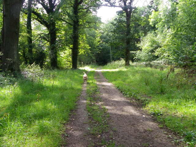
Castlemead Wood is a picturesque forest located in Somerset, England. Spanning over a vast area, this wood is renowned for its scenic beauty and rich biodiversity. The wood is situated near the village of Castle Cary, providing a tranquil escape for nature enthusiasts and hikers alike.
The wood is predominantly composed of broadleaf trees, including oak, ash, beech, and birch. These towering trees create a dense canopy, allowing only dappled sunlight to filter through, further enhancing the woodland's enchanting atmosphere. Beneath the thick foliage, a diverse array of plant species thrives, including bluebells, wild garlic, and wood anemones, which create a vibrant carpet of colors during springtime.
Castlemead Wood is also home to a variety of wildlife. Visitors may spot squirrels darting through the trees or hear the melodic songs of various bird species, such as woodpeckers and thrushes. Additionally, the wood provides a habitat for mammals such as deer, badgers, and foxes, making it a significant conservation area.
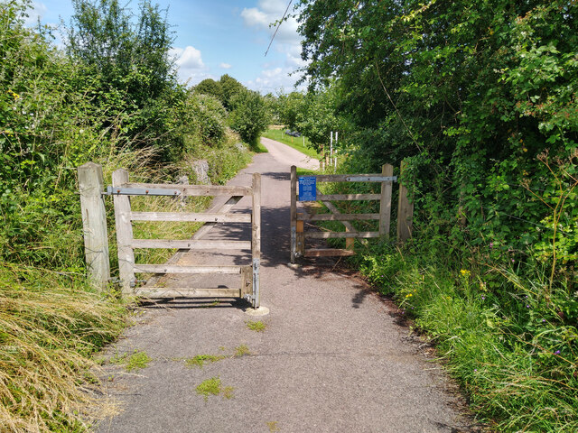
The wood offers a network of well-maintained trails, allowing visitors to explore its natural wonders at their own pace. These paths wind through the forest, providing stunning views of the surrounding countryside and opportunities for peaceful picnics or leisurely walks.
Overall, Castlemead Wood in Somerset is a haven for nature lovers, offering a serene environment, diverse flora and fauna, and an escape from the hustle and bustle of everyday life.
If you have any feedback on the listing, please let us know in the comments section below.
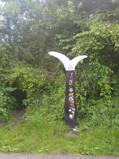
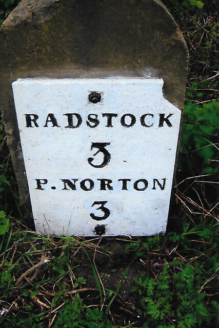
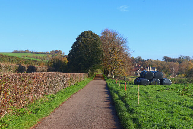
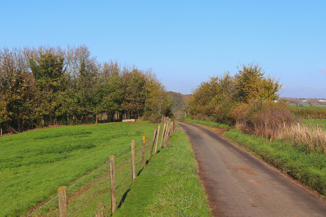
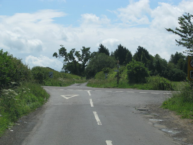
Castlemead Wood Images
Images are sourced within 2km of 51.285689/-2.4041247 or Grid Reference ST7154. Thanks to Geograph Open Source API. All images are credited.


Castlemead Wood is located at Grid Ref: ST7154 (Lat: 51.285689, Lng: -2.4041247)
Administrative County: Somerset
District: Mendip
Police Authority: Avon and Somerset
What 3 Words
///waggled.glades.liquid. Near Peasedown St John, Somerset
Nearby Locations
Related Wikis

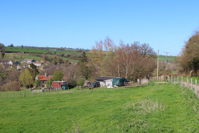
Hemington, Somerset
Hemington is a village and civil parish 5.5 miles (8.9 km) north west of Frome, in the Mendip district of Somerset, England. It is located just off the...
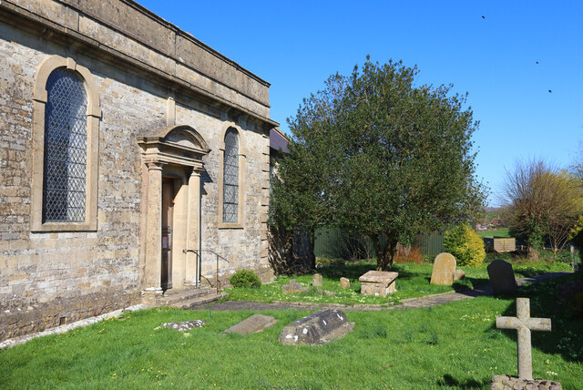
St Mary's Church, Hemington
St. Mary's Hemington is an Anglican church in Hemington, Somerset, England. The Norman church underwent major renovation in the 14th, 15th, 17th and 19th...

Church of St James The Less, Foxcote
The Anglican Church of St James The Less in Foxcote, within the English county of Somerset, was rebuilt in the early 18th century incorporating a 15th...
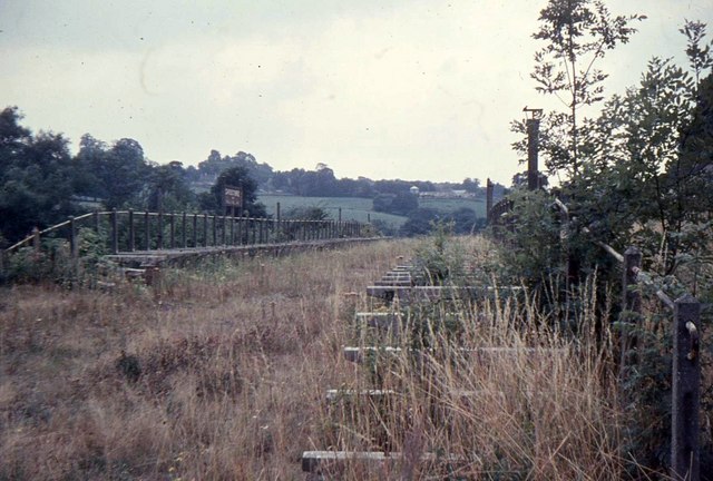
Shoscombe and Single Hill Halt railway station
Shoscombe & Single Hill Halt was a small railway station on the Somerset and Dorset Joint Railway serving small villages between Wellow and Radstock, about...
Nearby Amenities
Located within 500m of 51.285689,-2.4041247Have you been to Castlemead Wood?
Leave your review of Castlemead Wood below (or comments, questions and feedback).