Lorridge Brake

Wood, Forest in Gloucestershire Stroud

England

Lorridge Brake

Stone Stile, Stinchcombe On Clingre Farm, the stone has fallen and stile de-commissioned. Looking SSW, the view NNW is <a href="https://www.geograph.org.uk/photo/7042568">ST7299 : Stone Stile, Stinchcombe</a>.
Stone Stile, Stinchcombe Credit: Mr Red

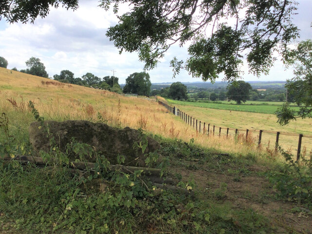
Lorridge Brake is a picturesque woodland area located in Gloucestershire, England. Covering an expansive area, it is known for its dense forests and natural beauty. The woodland is a designated Site of Special Scientific Interest (SSSI) due to its rich biodiversity and unique ecological features.

The trees in Lorridge Brake are predominantly oak, beech, and birch, creating a stunning canopy that provides shade and shelter for various wildlife species. The forest floor is covered in a thick carpet of moss, ferns, and wildflowers, adding to the enchanting atmosphere of the area.

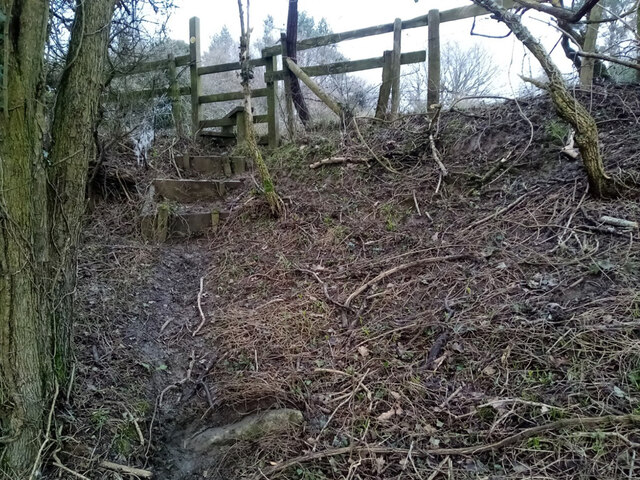
Visitors to Lorridge Brake can enjoy a range of recreational activities such as hiking, birdwatching, and nature photography. There are several well-marked trails that wind through the forest, allowing visitors to explore its hidden treasures. The area is home to a variety of bird species, including woodpeckers, owls, and songbirds, making it a haven for birdwatchers.

Lorridge Brake is also rich in wildlife, with deer, foxes, and badgers often spotted by lucky visitors. The diverse ecosystem of the woodland supports a wide range of insect and plant life, adding to its ecological significance.

The tranquil ambiance of Lorridge Brake makes it a popular destination for those seeking solace in nature. Its remote location and unspoiled surroundings offer a peaceful retreat away from the hustle and bustle of everyday life. Whether it's exploring the woodland trails or simply sitting amidst the serene beauty, Lorridge Brake offers a memorable experience for nature enthusiasts and those looking to reconnect with the natural world.

If you have any feedback on the listing, please let us know in the comments section below.

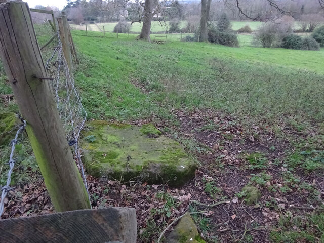
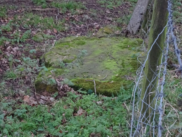
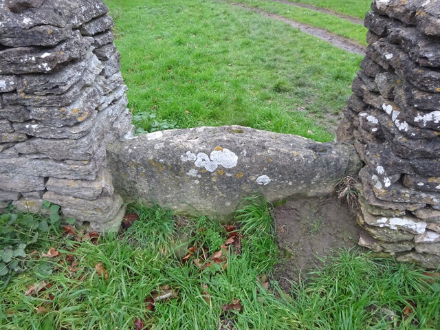
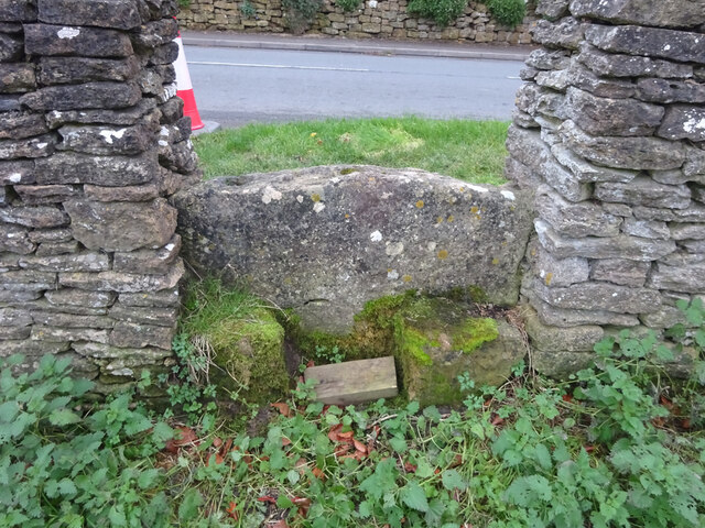
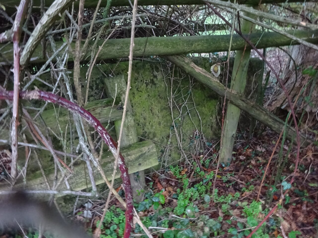
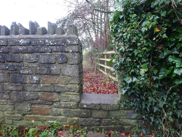
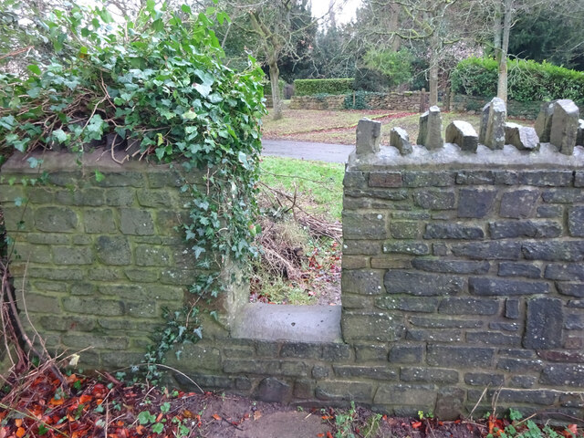
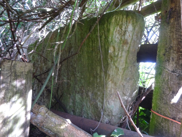
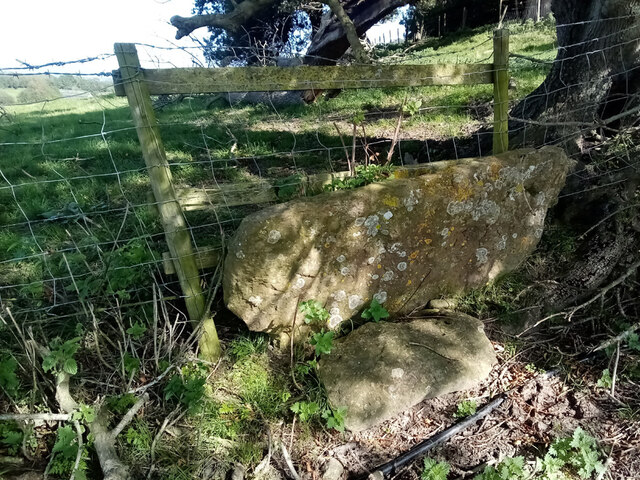
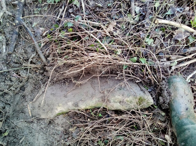
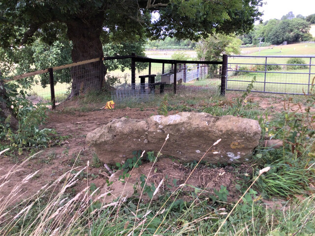
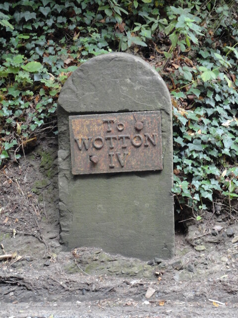
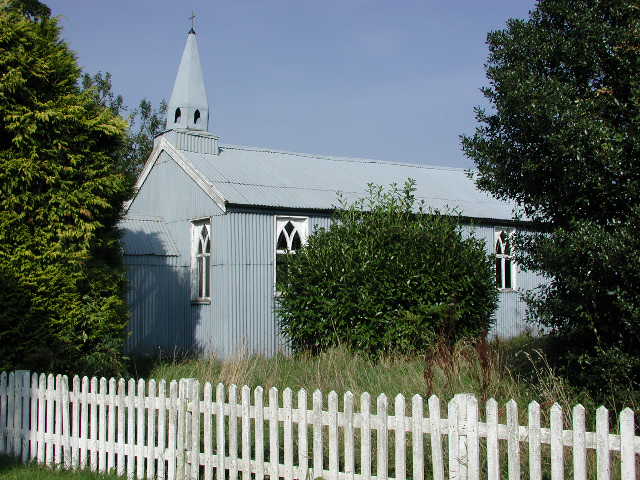
Lorridge Brake Images

Images are sourced within 2km of 51.694636/-2.4085257 or Grid Reference ST7199. Thanks to Geograph Open Source API. All images are credited.

Stone Stile, Stinchcombe On Clingre Farm, the stone has fallen and stile de-commissioned. Looking SSW, the view NNW is <a href="https://www.geograph.org.uk/photo/7042568">ST7299 : Stone Stile, Stinchcombe</a>.
Stone Stile, Stinchcombe
On Clingre Farm, the stone has fallen and stile de-commissioned. Looking SSW, the view NNW is ST7299 : Stone Stile, Stinchcombe.
Stone Stile, Stinchcombe On Clingre Farm, the stone has fallen and stile de-commissioned. Looking NNE, the view SSW is <a href="https://www.geograph.org.uk/photo/7042560">ST7299 : Stone Stile, Stinchcombe</a>.
Stone Stile, Stinchcombe
On Clingre Farm, the stone has fallen and stile de-commissioned. Looking NNE, the view SSW is ST7299 : Stone Stile, Stinchcombe.
Stone Stile, Stinchcombe Looking NW from the B4060, "The Street", into the Rugby Field. The view SE is <a href="https://www.geograph.org.uk/photo/7042603">ST7399 : Stone Stile, Stinchcombe</a>. The stile is adjacent to Stinchcombe Village Hall.
Stone Stile, Stinchcombe
Looking NW from the B4060, "The Street", into the Rugby Field. The view SE is ST7399 : Stone Stile, Stinchcombe. The stile is adjacent to Stinchcombe Village Hall.
Stone Stile, Stinchcombe Looking SE to the B4060, "The Street", from the Rugby Field. The view NW is <a href="https://www.geograph.org.uk/photo/7042602">ST7399 : Stone Stile, Stinchcombe</a>. The stile is adjacent to Stinchcombe Village Hall.
Stone Stile, Stinchcombe
Looking SE to the B4060, "The Street", from the Rugby Field. The view NW is ST7399 : Stone Stile, Stinchcombe. The stile is adjacent to Stinchcombe Village Hall.
Stone Stile, Stinchcombe In a field South of the parish church. The stone slab is very much obscured by the brambles and the hedge. This is looking North into the hedge, the view East from the gateway looking into the hedge is <a href="https://www.geograph.org.uk/photo/7150843">ST7298 : Stone Stile, Stinchcombe</a>. On Gloucestershire footpath CST32.
Stone Stile, Stinchcombe
In a field South of the parish church. The stone slab is very much obscured by the brambles and the hedge. This is looking North into the hedge, the view East from the gateway looking into the hedge is ST7298 : Stone Stile, Stinchcombe. On Gloucestershire footpath CST32.
Stone Stile, Stinchcombe Modern interpretation of the stone stile. This is looking NE to the drive. The view looking out is <a href="https://www.geograph.org.uk/photo/7043421">ST7298 : Stone Stile, Stinchcombe</a>.
Stone Stile, Stinchcombe
Modern interpretation of the stone stile. This is looking NE to the drive. The view looking out is ST7298 : Stone Stile, Stinchcombe.
Stone Stile, Stinchcombe Modern interpretation of the stone stile. This is looking out from the drive. The view looking in is <a href="https://www.geograph.org.uk/photo/7043419">ST7298 : Stone Stile, Stinchcombe</a>.
Stone Stile, Stinchcombe
Modern interpretation of the stone stile. This is looking out from the drive. The view looking in is ST7298 : Stone Stile, Stinchcombe.
Stone Stile, Stinchcombe In a field South of the parish church. The stone slab is very much obscured by the brambles and the hedge. This is looking East into the hedge from the gateway, the view North looking into the hedge is <a href="https://www.geograph.org.uk/photo/7043413">ST7298 : Stone Stile, Stinchcombe</a>. On Gloucestershire footpath CST32.
Stone Stile, Stinchcombe
In a field South of the parish church. The stone slab is very much obscured by the brambles and the hedge. This is looking East into the hedge from the gateway, the view North looking into the hedge is ST7298 : Stone Stile, Stinchcombe. On Gloucestershire footpath CST32.
Stone Stile, Stinchcombe On an old route of the Gloucestershire footpath CST55, which now runs slightly to the East. There is an orphaned slab to the North at <a href="https://www.geograph.org.uk/photo/7042560">ST7299 : Stone Stile, Stinchcombe</a> which would have been where the old route exited onto the current path.
Stone Stile, Stinchcombe
On an old route of the Gloucestershire footpath CST55, which now runs slightly to the East. There is an orphaned slab to the North at ST7299 : Stone Stile, Stinchcombe which would have been where the old route exited onto the current path.
Stone Stile, Stinchcombe A "Fallen Idle" - the remains of a stile on Gloucestershire footpath CST33, to the East of Wick Lane. The context view of this is <a href="https://www.geograph.org.uk/photo/7237864">ST7398 : Stone Stile, Stinchcombe</a>.
Stone Stile, Stinchcombe
A "Fallen Idle" - the remains of a stile on Gloucestershire footpath CST33, to the East of Wick Lane. The context view of this is ST7398 : Stone Stile, Stinchcombe.
Stone Stile, Stinchcombe A "Fallen Idle" - the remains of a stile on Gloucestershire footpath CST33, to the East of Wick Lane. The close-up view of this is <a href="https://www.geograph.org.uk/photo/7237859">ST7398 : Stone Stile, Stinchcombe</a>.
Stone Stile, Stinchcombe
A "Fallen Idle" - the remains of a stile on Gloucestershire footpath CST33, to the East of Wick Lane. The close-up view of this is ST7398 : Stone Stile, Stinchcombe.
Stone Stile, Stinchcombe The falling slab of the original stile, on Gloucestershire footpath CST33. The view in the other direction is <a href="https://www.geograph.org.uk/photo/7237886">ST7298 : Stone Stile, Stinchcombe</a>.
Stone Stile, Stinchcombe
The falling slab of the original stile, on Gloucestershire footpath CST33. The view in the other direction is ST7298 : Stone Stile, Stinchcombe.
Stone Stile, Stinchcombe The falling slab of the original stile, on Gloucestershire footpath CST33. The view in the other direction is <a href="https://www.geograph.org.uk/photo/7237883">ST7298 : Stone Stile, Stinchcombe</a>.
Stone Stile, Stinchcombe
The falling slab of the original stile, on Gloucestershire footpath CST33. The view in the other direction is ST7298 : Stone Stile, Stinchcombe.
Grubby direction sign 1 mile from Blanchworth Pointing towards a minor road, the sign facing the A38 in Gloucestershire 
is 1 mile from Blanchworth, 2½ from Stinchcombe, 3 from North Nibley.
Grubby direction sign 1 mile from Blanchworth
Pointing towards a minor road, the sign facing the A38 in Gloucestershire is 1 mile from Blanchworth, 2½ from Stinchcombe, 3 from North Nibley.
Typo on a temporary sign in rural Gloucestershire Temporary signs across a minor road face the A38 in October 2023.
NURSARY is a typo for NURSERY
Typo on a temporary sign in rural Gloucestershire
Temporary signs across a minor road face the A38 in October 2023. NURSARY is a typo for NURSERY
Old Milestone by B4060, Wotton Road; 300m North of entrance to Yercombe Lodge, LHS entrance to lane The Milestone is located by the road on the West of the road.  Parish of Stinchcombe (Stroud District). Metal plate attached to stone post, Wotton plate design, erected by the Wotton-under-Edge (Division) turnpike trust in the 19th Century, large chip LHS, plate cracked top RHS. An earlier photograph can be found here: <a title="https://www.geograph.org.uk/photo/6098708" href="https://www.geograph.org.uk/photo/6098708">Link</a> 

Inscription reads:-  
To / WOTTON / IV 

Grade II listed. List Entry Number: 1090882 <span class="nowrap"><a title="https://historicengland.org.uk/listing/the-list/list-entry/1090882" rel="nofollow ugc noopener" href="https://historicengland.org.uk/listing/the-list/list-entry/1090882">Link</a><img style="margin-left:2px;" alt="External link" title="External link - shift click to open in new window" src="https://s1.geograph.org.uk/img/external.png" width="10" height="10"/></span> 

Milestone Society National ID: GL_WEDY04
Old Milestone by B4060, Wotton Road; 300m North of entrance to Yercombe Lodge, LHS entrance to lane
The Milestone is located by the road on the West of the road.  Parish of Stinchcombe (Stroud District). Metal plate attached to stone post, Wotton plate design, erected by the Wotton-under-Edge (Division) turnpike trust in the 19th Century, large chip LHS, plate cracked top RHS. An earlier photograph can be found here: Link  Inscription reads:- To / WOTTON / IV Grade II listed. List Entry Number: 1090882 LinkExternal link Milestone Society National ID: GL_WEDY04
Old Milestone by B4066, Berkeley Heath The Milestone is located in front of Field View on verge on the South of the road.  Parish of Berkeley (Stroud District). Carved stone post, erected by the Berkley & Dursley (Division) turnpike trust in the 19C Century, Minor chips on edges. An earlier photograph can be found here: <a title="https://www.geograph.org.uk/photo/6098469" href="https://www.geograph.org.uk/photo/6098469">Link</a> 

Inscription reads:-  
TO / (BERKELEY) / 1 / MILE  

Milestone Society National ID: GL_BKDY01
Old Milestone by B4066, Berkeley Heath
The Milestone is located in front of Field View on verge on the South of the road.  Parish of Berkeley (Stroud District). Carved stone post, erected by the Berkley & Dursley (Division) turnpike trust in the 19C Century, Minor chips on edges. An earlier photograph can be found here: Link  Inscription reads:- TO / (BERKELEY) / 1 / MILE Milestone Society National ID: GL_BKDY01
Breadstone (Glos) St Michael's Church Scheduled for demolition after closure in 2000, the church still lingered on in March 2005.
Breadstone (Glos) St Michael's Church
Scheduled for demolition after closure in 2000, the church still lingered on in March 2005.
Show me another place!

Lorridge Brake is located at Grid Ref: ST7199 (Lat: 51.694636, Lng: -2.4085257)

Administrative County: Gloucestershire

District: Stroud

Police Authority: Gloucestershire

What 3 Words

///flashback.assets.envelope. Near Berkeley, Gloucestershire

Nearby Locations

Lorridge Brake

Related Wikis

Berkeley Road railway station

Berkeley Road railway station served the towns of Berkeley and Dursley in Gloucestershire, England. == History == The station was one of the first six...

Breadstone

Breadstone is a village and former civil parish, now in the parish of Hamfallow, in the Stroud district, in the county of Gloucestershire, England. In...

Piers Court

Piers Court is a country house in Stinchcombe on the Cotswold Edge in Gloucestershire, England. A Grade II* listed building, in the mid-20th century the...

Newport, Gloucestershire

Newport is a village in Alkington parish, Gloucestershire, England. Located along the A38 road roughly halfway between Bristol and Gloucester. It is located...

Hamfallow

Hamfallow is a civil parish in the district of Stroud, Gloucestershire. There is no village centre, the parish consists of farms and hamlets such as Abwell...

Stinchcombe

Stinchcombe is a small village and civil parish in Gloucestershire, England on the B4060 road between Dursley and North Nibley. The church is called St...

Alkington, Gloucestershire

Alkington is a civil parish in the district of Stroud, Gloucestershire. It had a population of 638 in the 2001 census, increasing to 688 at the 2011 census...

Cam, Gloucestershire

Cam is a large village and civil parish in Gloucestershire, England, situated on the edge of the Cotswolds and contiguous with the town of Dursley, north...

Have you been to Lorridge Brake?

Leave your review of Lorridge Brake below (or comments, questions and feedback).