Buckland Belt
Wood, Forest in Somerset Mendip
England
Buckland Belt

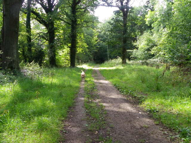
Buckland Belt, located in Somerset, England, is a picturesque woodland area known for its natural beauty and rich biodiversity. Spanning approximately 2,500 acres, the belt is a significant part of the larger Blackdown Hills Area of Outstanding Natural Beauty.
The woodlands in Buckland Belt are primarily composed of mixed broadleaf trees, including oak, beech, and ash, creating a lush and vibrant forest ecosystem. This diverse range of tree species provides a habitat for a wide variety of wildlife, including deer, foxes, badgers, and numerous bird species.
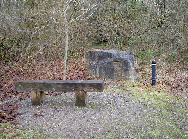
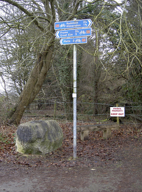
Tranquility and serenity are defining characteristics of Buckland Belt, making it a popular destination for outdoor enthusiasts, nature lovers, and those seeking a peaceful retreat. The area offers an extensive network of walking trails and paths, allowing visitors to explore the woodlands at their own pace. These trails range from short, leisurely strolls to more challenging hikes, offering something for everyone.
In addition to its natural splendor, Buckland Belt also holds historical significance. The woodlands have been utilized by humans for centuries, with evidence of prehistoric settlements and agricultural activity in the area. Today, remnants of ancient earthworks and boundary banks can still be found, providing glimpses into the region's past.
Buckland Belt is a cherished natural gem in Somerset, offering visitors a chance to immerse themselves in the beauty of a thriving woodland ecosystem while providing a glimpse into the rich history of the area.
If you have any feedback on the listing, please let us know in the comments section below.
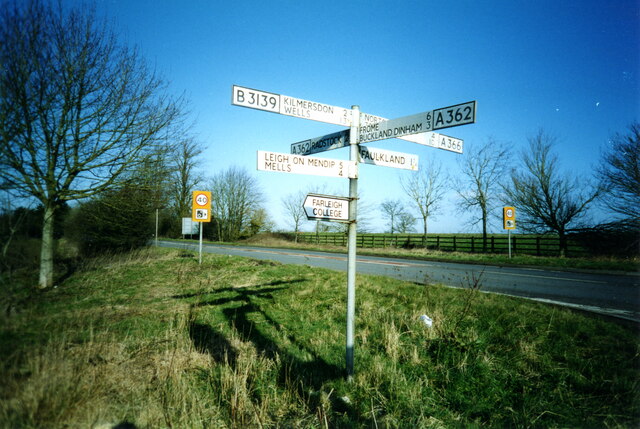
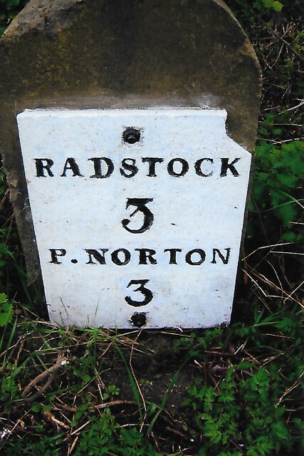
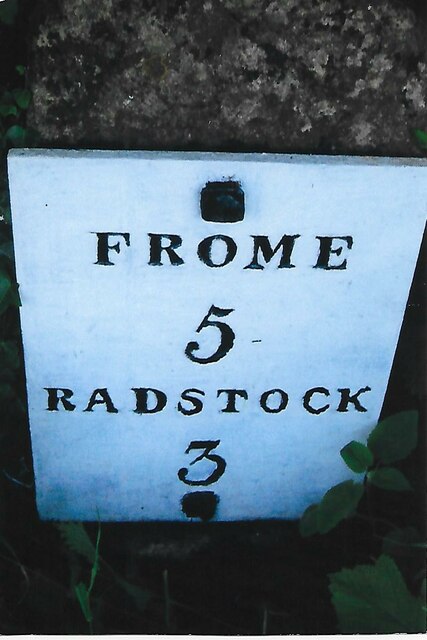
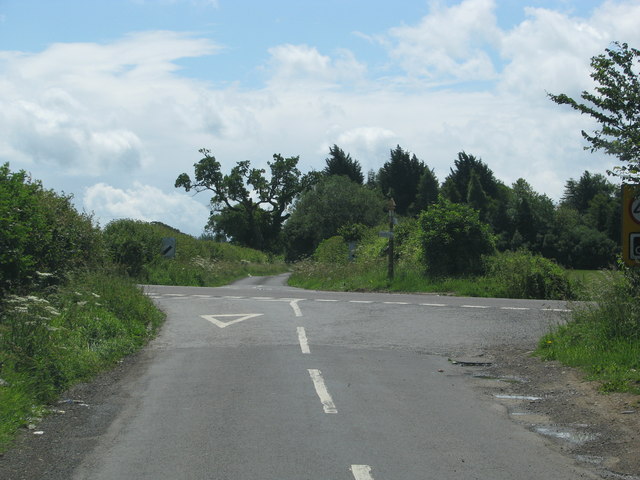
Buckland Belt Images
Images are sourced within 2km of 51.272629/-2.4027199 or Grid Reference ST7252. Thanks to Geograph Open Source API. All images are credited.


Buckland Belt is located at Grid Ref: ST7252 (Lat: 51.272629, Lng: -2.4027199)
Administrative County: Somerset
District: Mendip
Police Authority: Avon and Somerset
What 3 Words
///sanded.blissful.frog. Near Radstock, Somerset
Nearby Locations
Related Wikis

St Mary's Church, Hemington
St. Mary's Hemington is an Anglican church in Hemington, Somerset, England. The Norman church underwent major renovation in the 14th, 15th, 17th and 19th...

Ammerdown House, Kilmersdon
Ammerdown House in Kilmersdon, Somerset, England, was built in 1788. It has been designated as Grade I listed building.It was built as a country house...

Kingsdown Camp
Kingsdown Camp is an Iron Age hillfort at Buckland Dinham 4.5 kilometres (3 mi) South East of Radstock, Somerset, England. It is a Scheduled Monument.It...
Hemington, Somerset
Hemington is a village and civil parish 5.5 miles (8.9 km) north west of Frome, in the Mendip district of Somerset, England. It is located just off the...
Mells Road railway station
Mells Road railway station served the village of Mells, Somerset, England from 1875 to 1959 linking Radstock to Frome, Somerset on the Heart of Wessex...
Babington, Somerset
Babington is a small village between Radstock and Frome, Somerset, England, which has now largely disappeared. == History == In 1233 or 1234 much of the...

Babington House
Babington House is a Grade II* listed manor house, located in the village of Babington, between Radstock and Frome, in the county of Somerset, England...

Kilmersdon
Kilmersdon is a village and civil parish on the north eastern slopes of the Mendip Hills in Somerset between the towns of Radstock and Frome. It is located...
Have you been to Buckland Belt?
Leave your review of Buckland Belt below (or comments, questions and feedback).