East Hill
Hill, Mountain in Dorset
England
East Hill

East Hill is a prominent hill located in the county of Dorset, England. Situated near the town of Swanage, it is part of the larger Purbeck Hills range. Rising to an elevation of approximately 173 meters (568 feet), it offers breathtaking panoramic views of the surrounding countryside and the English Channel.
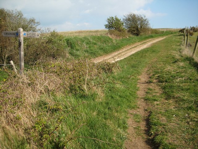
The hill is predominantly composed of chalk and flint, which gives it a distinctive white appearance. Its steep slopes are covered in lush grassland and patches of gorse, providing a picturesque landscape for visitors. A network of footpaths and trails crisscross the hill, allowing hikers and nature enthusiasts to explore its diverse flora and fauna.
At the summit of East Hill, there is a trig point, marking its highest point and offering visitors a perfect vantage point to admire the stunning vistas. On a clear day, it is possible to see as far as the Isle of Wight and the famous Jurassic Coast.
East Hill holds great historical significance as well. It is home to several ancient burial mounds, known as barrows, which date back thousands of years. These barrows are evidence of human activity in the area since prehistoric times.
With its natural beauty, rich history, and panoramic views, East Hill in Dorset is a popular destination for outdoor enthusiasts, history buffs, and anyone seeking a tranquil escape in the heart of the English countryside.
If you have any feedback on the listing, please let us know in the comments section below.
East Hill Images
Images are sourced within 2km of 50.659718/-2.4086848 or Grid Reference SY7184. Thanks to Geograph Open Source API. All images are credited.


East Hill is located at Grid Ref: SY7184 (Lat: 50.659718, Lng: -2.4086848)
Unitary Authority: Dorset
Police Authority: Dorset
What 3 Words
///dugouts.shaver.tungsten. Near Overcombe, Dorset
Nearby Locations
Related Wikis
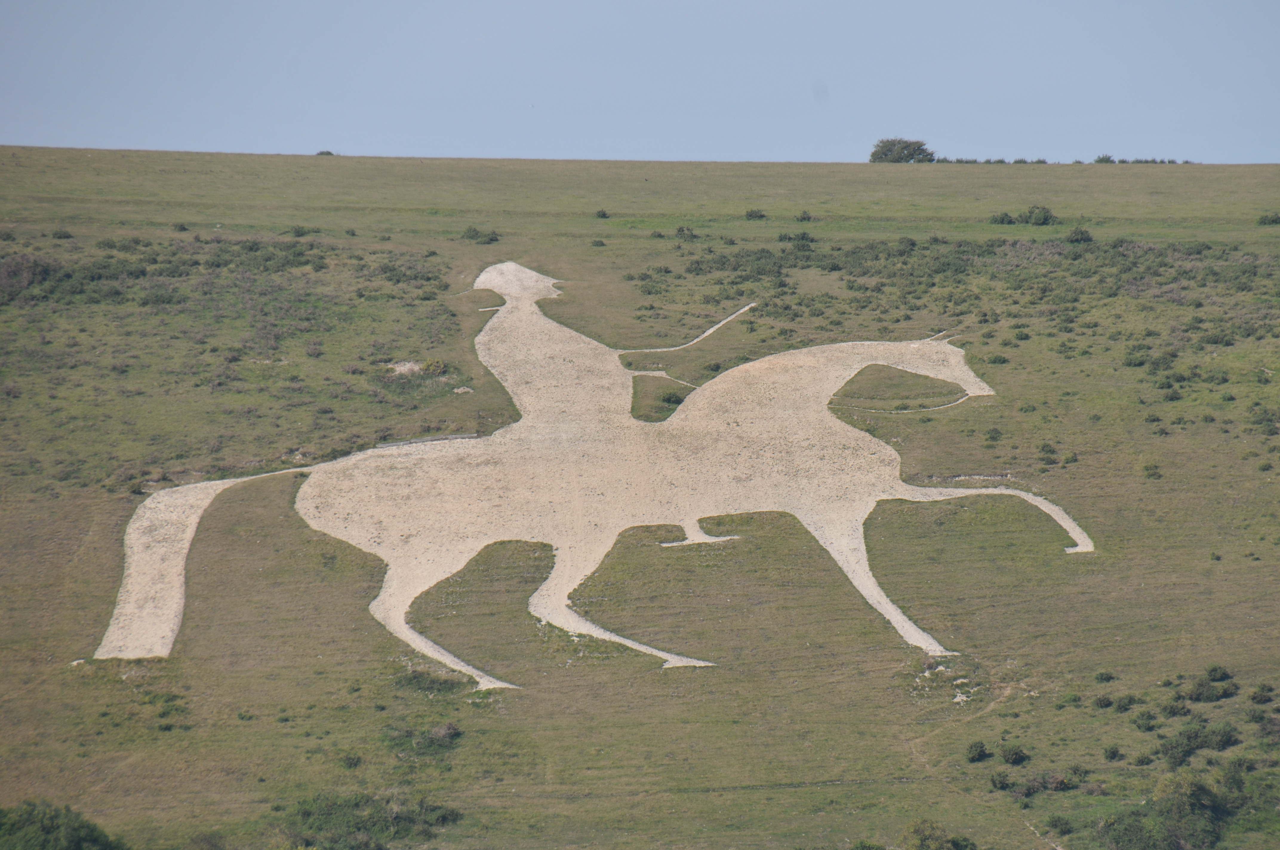
Osmington White Horse
The Osmington White Horse is a hill figure cut into the limestone of Osmington Hill just north of Weymouth in Dorset in 1808. It is in the South Dorset...

Culliford Tree Hundred
Culliford Tree Hundred was a hundred in the county of Dorset, England, containing the following parishes: Broadwey Buckland Ripers Chickerell (part) Melcombe...

Chalbury Hillfort
Chalbury Hillfort is an Iron Age hillfort about 1 mile (1.6 km) south-east of the village of Bincombe, in Dorset, England. It is a scheduled monument....

Preston, Dorset
Preston is a coastal village and suburb of Weymouth in south Dorset, England. It is approximately 3 kilometres (2 mi) north-east of Weymouth town centre...
Nearby Amenities
Located within 500m of 50.659718,-2.4086848Have you been to East Hill?
Leave your review of East Hill below (or comments, questions and feedback).