Studley Bottom
Valley in Somerset Mendip
England
Studley Bottom
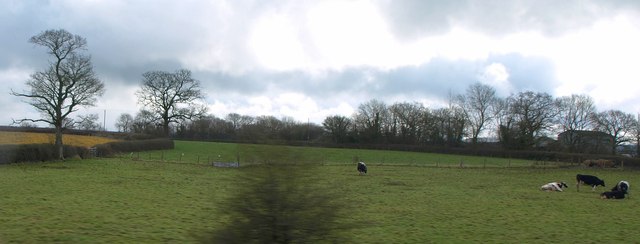
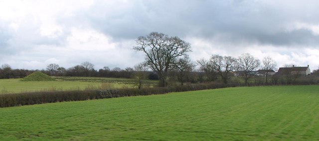
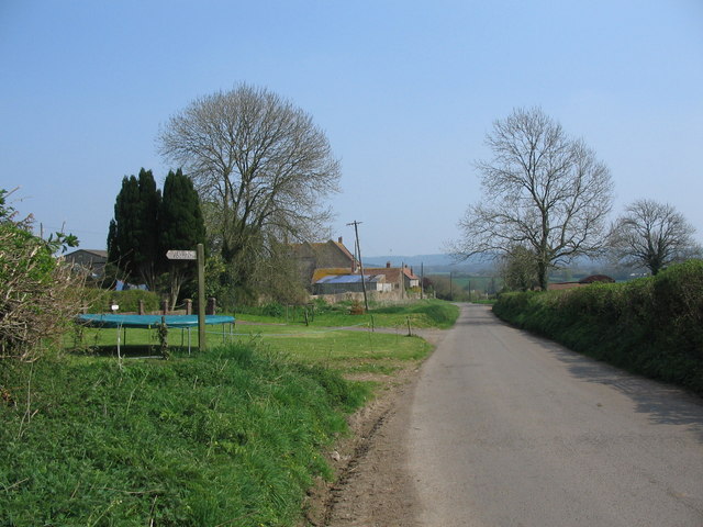
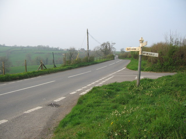
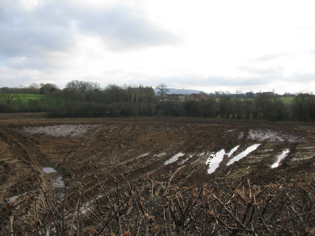
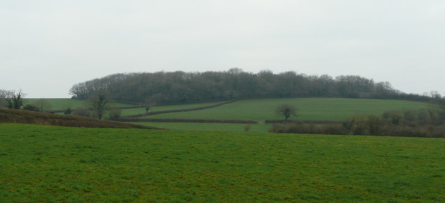
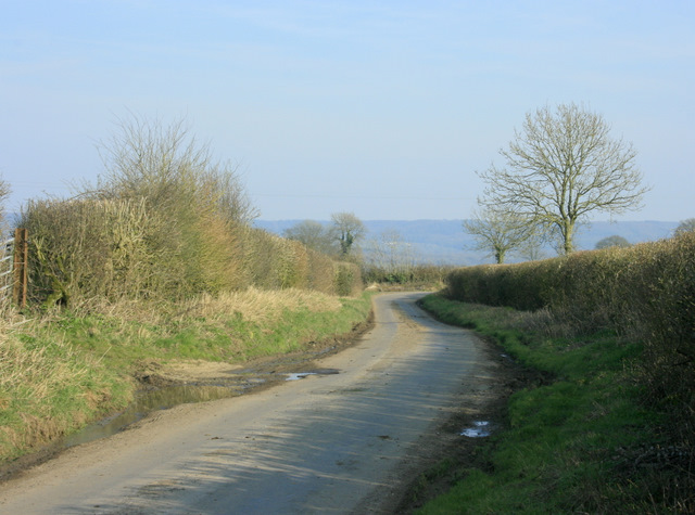
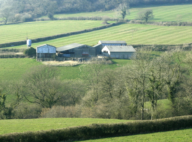
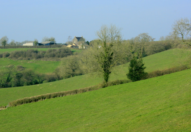
Studley Bottom is a picturesque valley located in Somerset, England. Situated at the foot of the Mendip Hills, this rural area is renowned for its stunning natural beauty and tranquil surroundings. The valley is surrounded by lush green fields, rolling hills, and dense woodlands, creating a peaceful and idyllic setting.
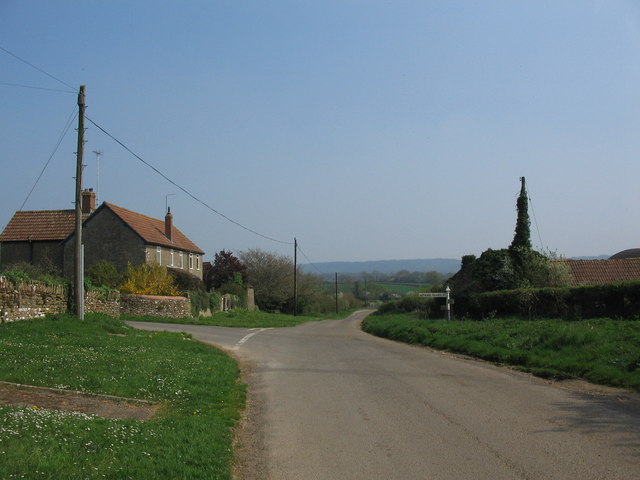
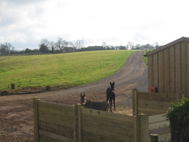
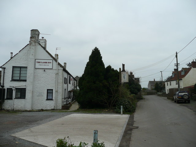
Studley Bottom is home to a small but close-knit community, with a population of around 500 residents. The village itself is characterized by charming cottages, traditional stone houses, and well-tended gardens, adding to its quaint and timeless appeal. The locals take great pride in their community and work together to maintain its rural charm.
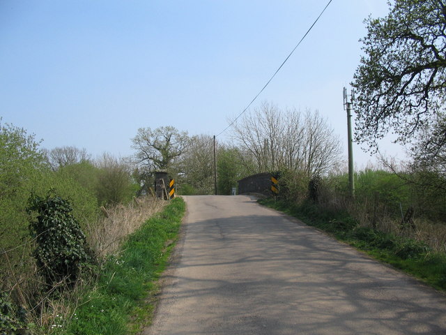
The valley offers a range of outdoor activities for visitors and residents alike. Hiking and walking trails are abundant, allowing individuals to explore the stunning countryside and enjoy breathtaking views of the surrounding landscape. The area is also popular among cyclists, with its quiet country lanes providing the perfect routes for leisurely rides.
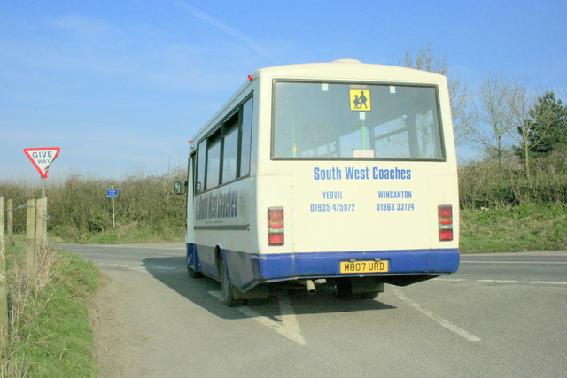
Despite its rural setting, Studley Bottom is within close proximity to larger towns and cities. The historic city of Bath is just a short drive away, offering a variety of cultural attractions, shopping opportunities, and dining options. Bristol, another vibrant city, is also easily accessible.
Overall, Studley Bottom is a hidden gem in Somerset, offering a peaceful escape from the hustle and bustle of city life. With its natural beauty, charming community, and proximity to larger towns, it is an ideal destination for those seeking a tranquil and scenic retreat.
If you have any feedback on the listing, please let us know in the comments section below.
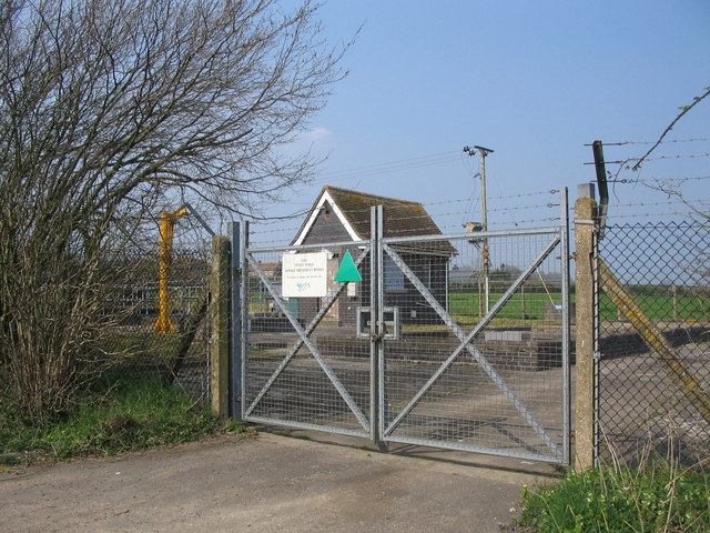
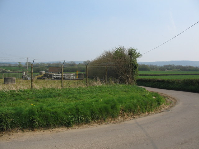
Studley Bottom Images
Images are sourced within 2km of 51.162276/-2.406577 or Grid Reference ST7140. Thanks to Geograph Open Source API. All images are credited.

Studley Bottom is located at Grid Ref: ST7140 (Lat: 51.162276, Lng: -2.406577)
Administrative County: Somerset
District: Mendip
Police Authority: Avon and Somerset
What 3 Words
///hello.fighters.expensive. Near Bruton, Somerset
Nearby Locations
Related Wikis
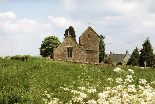
Church of St Mary Magdalene, Upton Noble
The Anglican Church Of St Mary and St John in Upton Noble, within the English county of Somerset, was built in the 12th century. It is a Grade II* listed...
Upton Noble
Upton Noble is a village and civil parish on the River Frome. It is roughly 4.5 miles (7 km) north-east of Bruton, and 7 miles (11 km) from Frome town...

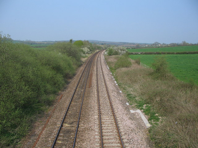
Wanstrow railway station
Wanstrow railway station was a small station on the East Somerset Railway serving the village of Wanstrow in Somerset. The East Somerset Railway opened...

Wanstrow
Wanstrow is a village and civil parish 6 miles (9.7 km) south west of Frome in Somerset, England. The parish includes the village of Cloford. == History... ==

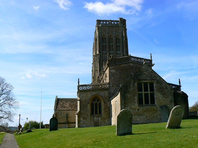
Church of St Mary, Wanstrow
The Anglican Church Of St Mary in Wanstrow, within the English county of Somerset, was built in the 15th century. It is a Grade II* listed building.The...
Batcombe, Somerset
Batcombe is a village and civil parish in Somerset, England, situated in the steep valley of the River Alham 5 miles (8 km) south-east of Shepton Mallet...

Church of St Mary, Witham Friary
The Church of St Mary in Witham Friary, Somerset, England, dates from around 1200 and it has been designated as a Grade I listed building.The church was...

Witham Charterhouse
Witham Charterhouse, also Witham Priory, at Witham Friary, Somerset, was established in 1178/79, the earliest of the ten medieval Carthusian houses (charterhouses...
Nearby Amenities
Located within 500m of 51.162276,-2.406577Have you been to Studley Bottom?
Leave your review of Studley Bottom below (or comments, questions and feedback).