Stonetable Hill
Hill, Mountain in Yorkshire
England
Stonetable Hill
Stonetable Hill is a prominent geographical feature located in Yorkshire, England. It is classified as a hill rather than a mountain, as it does not meet the criteria for mountain status, but it still offers breathtaking views and attracts both locals and tourists.
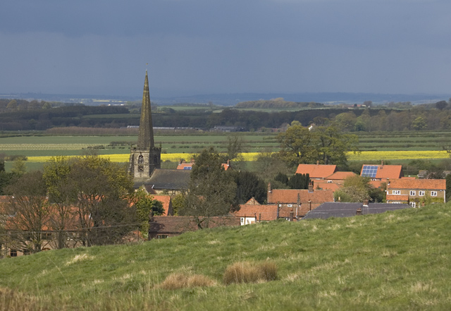
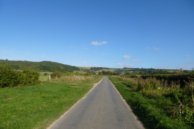
Situated in the picturesque Yorkshire Dales National Park, Stonetable Hill is known for its distinctive flat summit, which resembles a table. This unique feature has contributed to its name and makes it easily recognizable from a distance. The hill rises to an elevation of approximately 350 meters (1150 feet) above sea level.
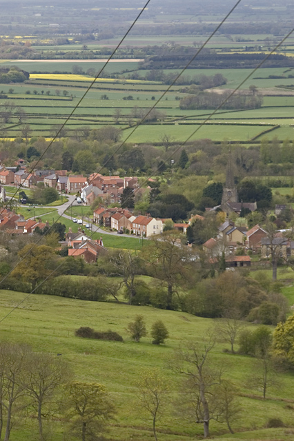
The landscape surrounding Stonetable Hill is characterized by rolling hills, lush green meadows, and vibrant wildflowers, creating a picturesque setting. It is a popular destination for hikers and nature enthusiasts, offering a variety of walking trails that cater to different fitness levels. These trails provide opportunities to explore the natural beauty of the area and take in the stunning panoramic views of the surrounding countryside.
Stonetable Hill is also home to a diverse range of flora and fauna. Visitors may encounter various bird species, including peregrine falcons and kestrels, as well as grazing sheep and cows in the surrounding farmland.
In addition to its natural beauty, Stonetable Hill is steeped in history. The hillside is dotted with ancient stone formations, which are believed to be remnants of Iron Age settlements. These archaeological remnants add a sense of mystery and intrigue to the area, attracting history enthusiasts and archaeology buffs.
Overall, Stonetable Hill in Yorkshire offers a captivating blend of natural beauty, recreational opportunities, and historical significance, making it a must-visit destination for anyone exploring the region.
If you have any feedback on the listing, please let us know in the comments section below.
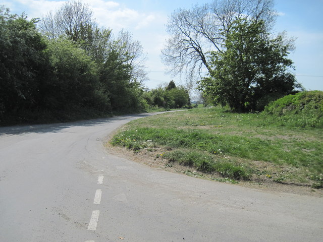
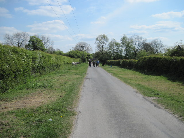
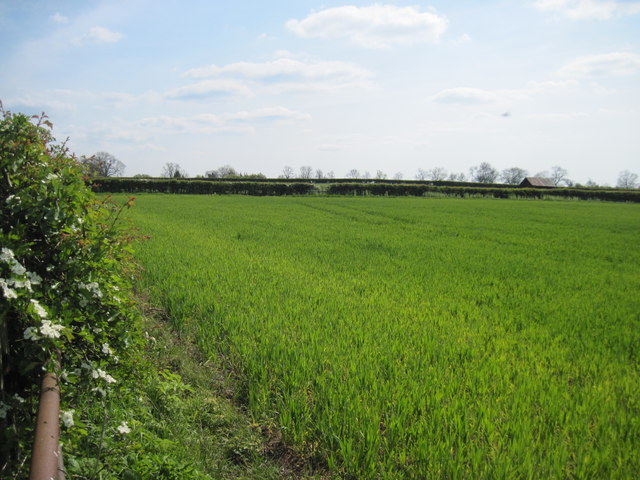
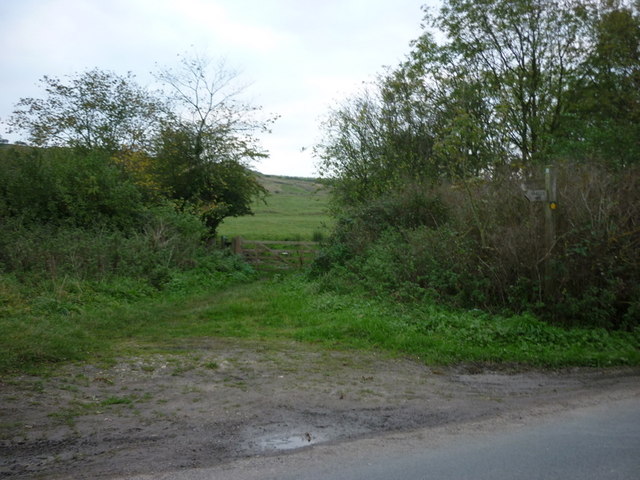
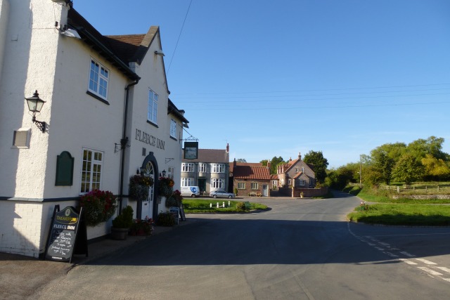
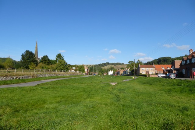
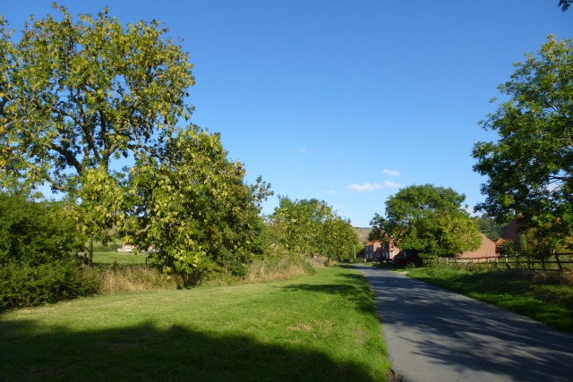
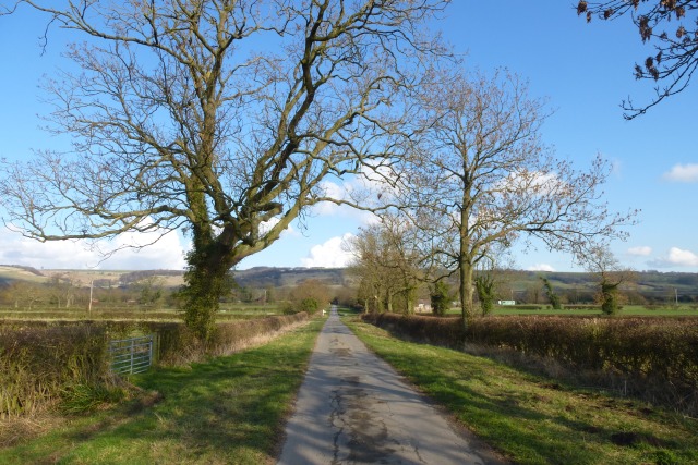
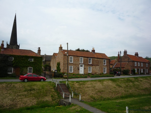
Stonetable Hill Images
Images are sourced within 2km of 53.990353/-0.77188689 or Grid Reference SE8055. Thanks to Geograph Open Source API. All images are credited.

Stonetable Hill is located at Grid Ref: SE8055 (Lat: 53.990353, Lng: -0.77188689)
Division: East Riding
Unitary Authority: East Riding of Yorkshire
Police Authority: Humberside
What 3 Words
///makes.settle.commander. Near Kirby Underdale, East Yorkshire
Nearby Locations
Related Wikis
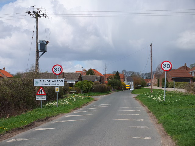
Bishop Wilton
Bishop Wilton is a small village and civil parish in the East Riding of Yorkshire, England. It is situated approximately 4 miles (6 km) north of Pocklington...

Bishop Wilton Wold
Bishop Wilton Wold is the highest point of the Yorkshire Wolds in the East Riding of Yorkshire, England. The summit, known as Garrowby Hill, lies about...

Great Givendale
Great Givendale is a hamlet in the East Riding of Yorkshire, England. It is situated approximately 3 miles (5 km) north of Pocklington. Great Givendale...
Garrowby
Garrowby is a hamlet in the East Riding of Yorkshire, England. It is situated approximately 5 miles (8 km) north of Pocklington town centre. It lies to...
Nearby Amenities
Located within 500m of 53.990353,-0.77188689Have you been to Stonetable Hill?
Leave your review of Stonetable Hill below (or comments, questions and feedback).