Hagworm Wood
Wood, Forest in Yorkshire
England
Hagworm Wood
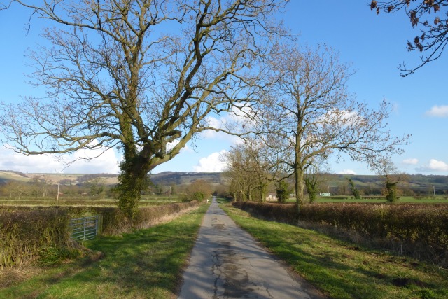
Hagworm Wood is a picturesque woodland located in Yorkshire, England. Situated in the heart of the county, the wood spans over 100 acres, offering a tranquil and scenic environment for visitors to explore. The wood is known for its rich biodiversity and is home to a variety of flora and fauna.
The woodland is predominantly composed of native tree species such as oak, beech, and birch, creating a dense canopy that provides shade and shelter for a diverse range of wildlife. Walking trails wind their way through the wood, allowing visitors to immerse themselves in the peaceful surroundings and discover the hidden beauty of nature.
Hagworm Wood is particularly renowned for its vibrant bluebell displays in the spring. The forest floor is carpeted with a sea of blue, creating a mesmerizing sight and attracting visitors from far and wide. During this time, photographers and nature enthusiasts flock to the wood to capture the breathtaking beauty of the bluebell bloom.
In addition to its natural beauty, Hagworm Wood also holds historical significance. The wood is believed to have been used for timber production in the past, with remnants of old saw pits and charcoal platforms still visible. These remnants provide a glimpse into the area's past and add an element of intrigue to the woodland experience.
Overall, Hagworm Wood is a captivating destination for those seeking solace in nature. With its diverse ecosystem, stunning bluebell displays, and historical remnants, it offers a unique and enriching experience for visitors of all ages.
If you have any feedback on the listing, please let us know in the comments section below.
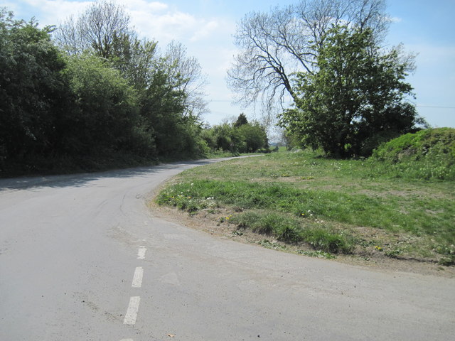
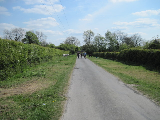
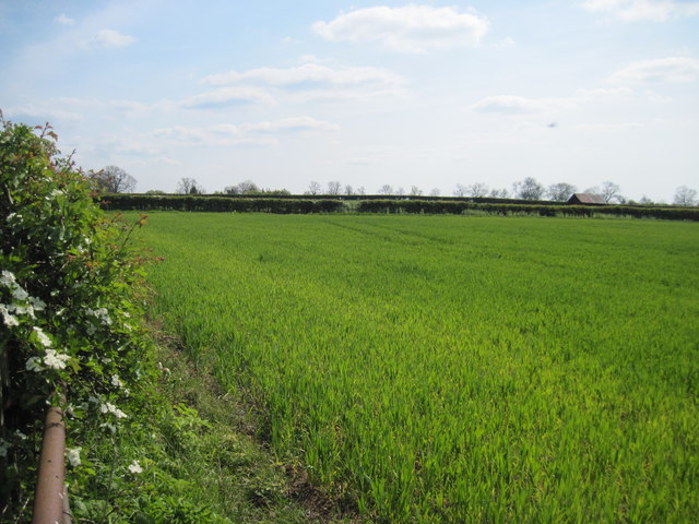
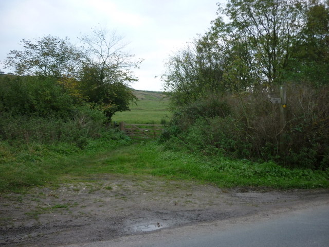
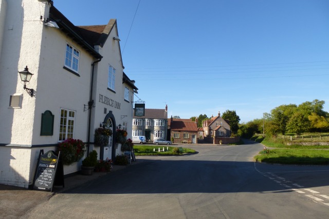
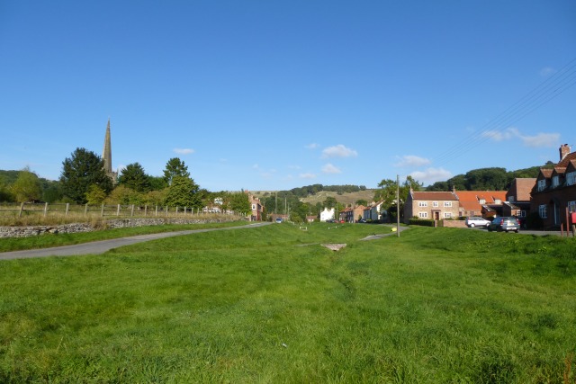
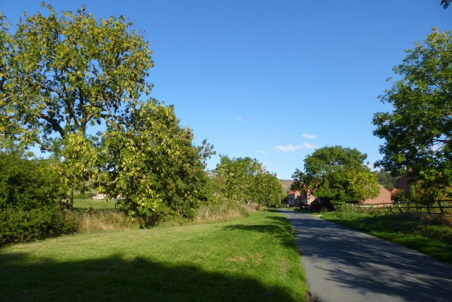
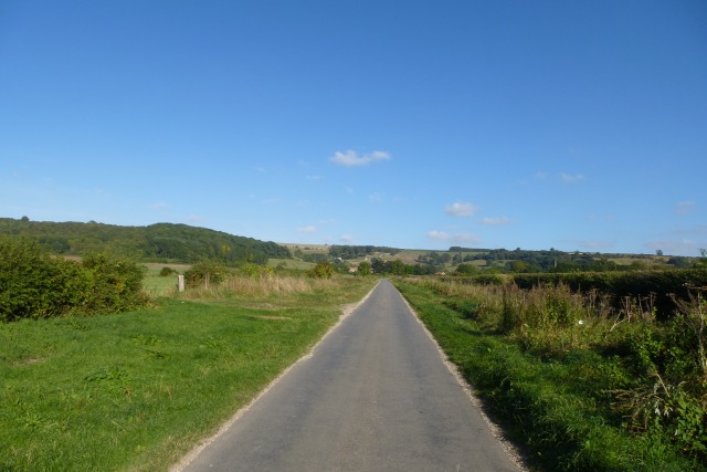
Hagworm Wood Images
Images are sourced within 2km of 53.989277/-0.77567062 or Grid Reference SE8055. Thanks to Geograph Open Source API. All images are credited.

Hagworm Wood is located at Grid Ref: SE8055 (Lat: 53.989277, Lng: -0.77567062)
Division: East Riding
Unitary Authority: East Riding of Yorkshire
Police Authority: Humberside
What 3 Words
///illogical.livid.mourner. Near Kirby Underdale, East Yorkshire
Nearby Locations
Related Wikis
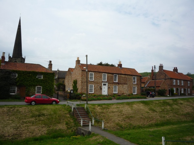
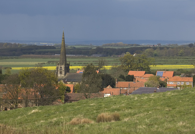
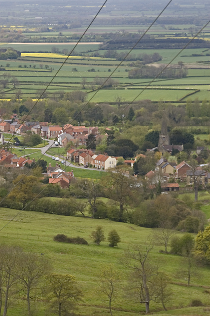
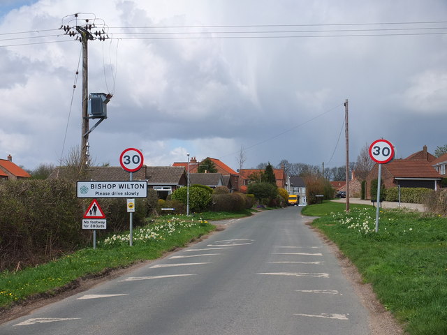
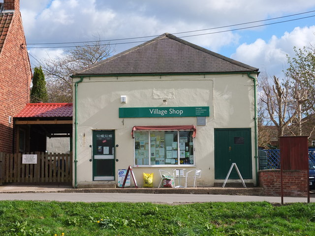
Bishop Wilton
Bishop Wilton is a small village and civil parish in the East Riding of Yorkshire, England. It is situated approximately 4 miles (6 km) north of Pocklington...

Great Givendale
Great Givendale is a hamlet in the East Riding of Yorkshire, England. It is situated approximately 3 miles (5 km) north of Pocklington. Great Givendale...

Garrowby
Garrowby is a hamlet in the East Riding of Yorkshire, England. It is situated approximately 5 miles (8 km) north of Pocklington town centre. It lies to...
Bishop Wilton Wold
Bishop Wilton Wold is the highest point of the Yorkshire Wolds in the East Riding of Yorkshire, England. The summit, known as Garrowby Hill, lies about...
Related Videos

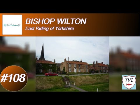
BISHOP WILTON: East Riding of Yorkshire Parish #108 of 172
EAST RIDING OF YORKSHIRE PARISH #108: BISHOP WILTON Welcome Bishop Wilton, described on the website of its local ...
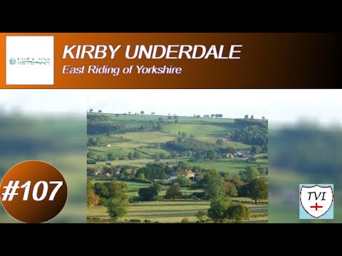
KIRBY UNDERDALE: East Riding of Yorkshire Parish #107 of 172
EAST RIDING OF YORKSHIRE PARISH #107: KIRBY UNDERDALE Welcome to the parish of Kirby Underdale, which sits just to ...
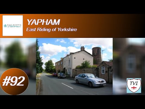
YAPHAM: East Riding of Yorkshire Parish #92 of 172
EAST RIDING OF YORKSHIRE PARISH #92: YAPHAM Welcome back to the East Yorkshire Wolds folks and to the village of ...
Nearby Amenities
Located within 500m of 53.989277,-0.77567062Have you been to Hagworm Wood?
Leave your review of Hagworm Wood below (or comments, questions and feedback).