Oak Hill Wood
Wood, Forest in Yorkshire Scarborough
England
Oak Hill Wood
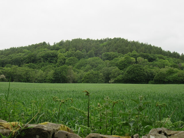
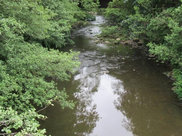
Oak Hill Wood is a picturesque forest located in the county of Yorkshire, England. Situated on the outskirts of a small village, the wood spans an area of approximately 100 acres, offering a tranquil retreat for nature lovers and outdoor enthusiasts alike.
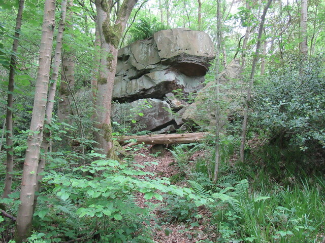
The wood is predominantly covered by a dense canopy of towering oak trees, hence its name. These majestic trees provide a haven for a diverse range of wildlife, including birds, mammals, and insects. Visitors to Oak Hill Wood can expect to encounter species such as woodpeckers, badgers, foxes, and various butterflies, adding to the enchanting ambiance of the woodland.
The forest floor is adorned with a rich carpet of wildflowers and ferns, creating a vibrant and colorful landscape throughout the seasons. In springtime, bluebells blanket the woodland floor, while in autumn, the trees transform into a stunning display of fiery hues, attracting photographers and nature enthusiasts from far and wide.
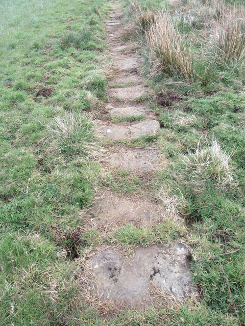
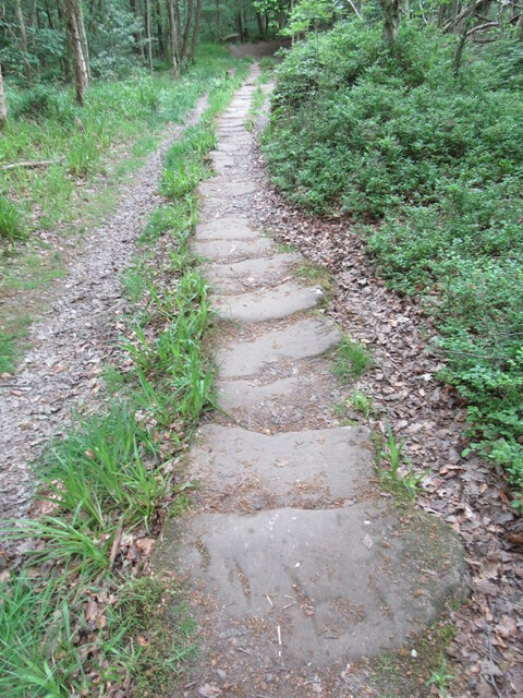
Oak Hill Wood boasts several well-maintained walking trails, allowing visitors to explore its natural wonders at their own pace. These paths wind through the forest, leading to picturesque viewpoints and secluded picnic spots, encouraging visitors to immerse themselves in the tranquil surroundings.
The wood is also home to a small visitor center, which provides information about the local flora and fauna, as well as the history and conservation efforts of the area. Educational workshops and guided nature walks are regularly organized for both children and adults, promoting a deeper understanding and appreciation of the woodland ecosystem.
Overall, Oak Hill Wood in Yorkshire offers a captivating escape into nature, where visitors can revel in the beauty of ancient oak trees, listen to the soothing sounds of wildlife, and experience the serenity of the forest.
If you have any feedback on the listing, please let us know in the comments section below.
Oak Hill Wood Images
Images are sourced within 2km of 54.441658/-0.76221783 or Grid Reference NZ8005. Thanks to Geograph Open Source API. All images are credited.


Oak Hill Wood is located at Grid Ref: NZ8005 (Lat: 54.441658, Lng: -0.76221783)
Division: North Riding
Administrative County: North Yorkshire
District: Scarborough
Police Authority: North Yorkshire
What 3 Words
///inflating.agrees.jetting. Near Sleights, North Yorkshire
Nearby Locations
Related Wikis

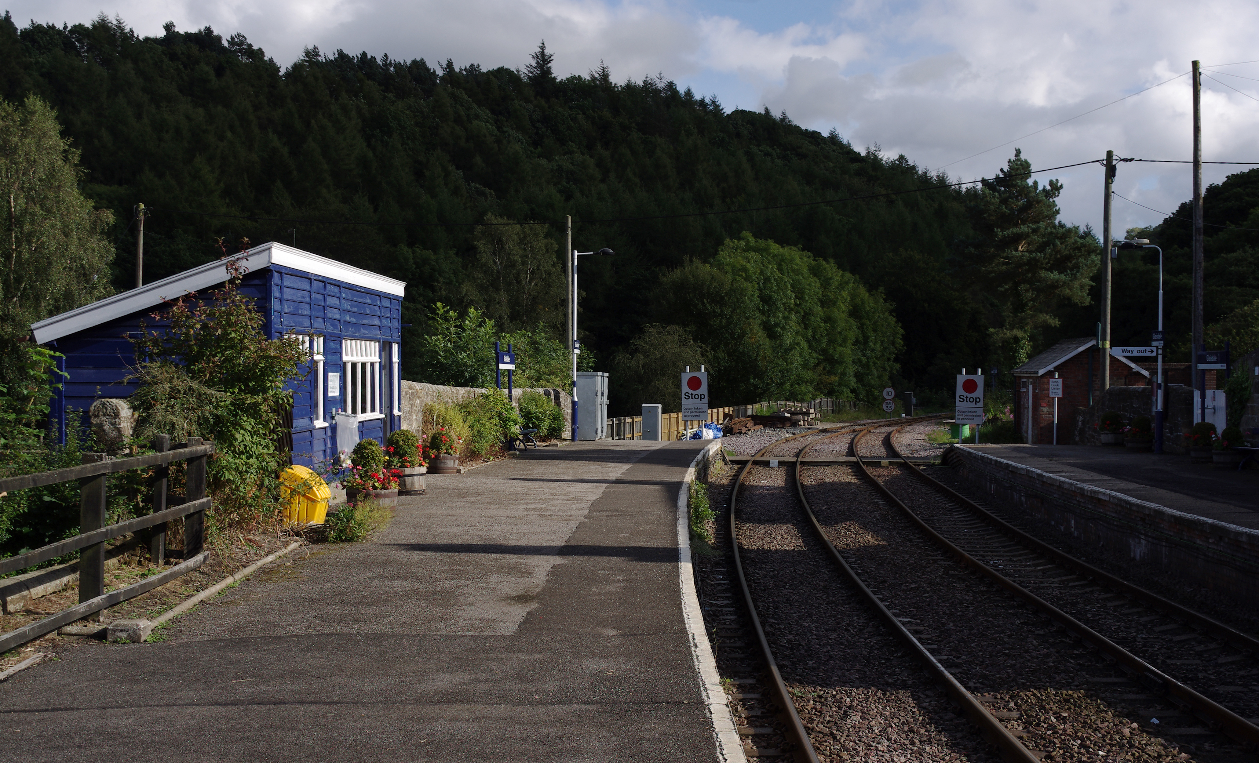
Egton railway station
Egton is a railway station on the Esk Valley Line, which runs between Middlesbrough and Whitby via Nunthorpe. The station, situated 7 miles 66 chains...

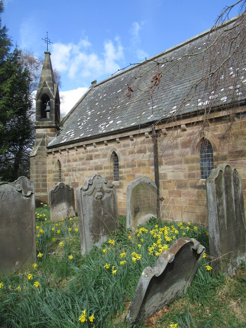
St Hilda's Church, Egton
St Hilda's church, Egton, is a Church of England church in Egton, North Yorkshire, built in 1879 and designed by local architect E. H. Smales. St Hilda...
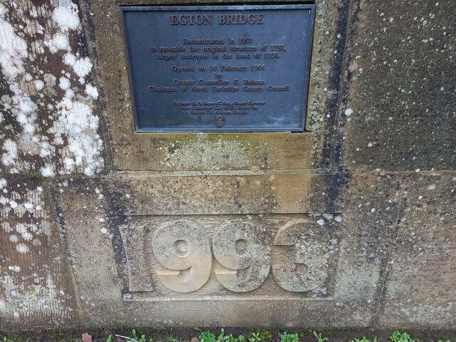
Egton Bridge
Egton Bridge is a village in the Scarborough district of North Yorkshire, England. It lies within the North York Moors National Park, on the River Esk...

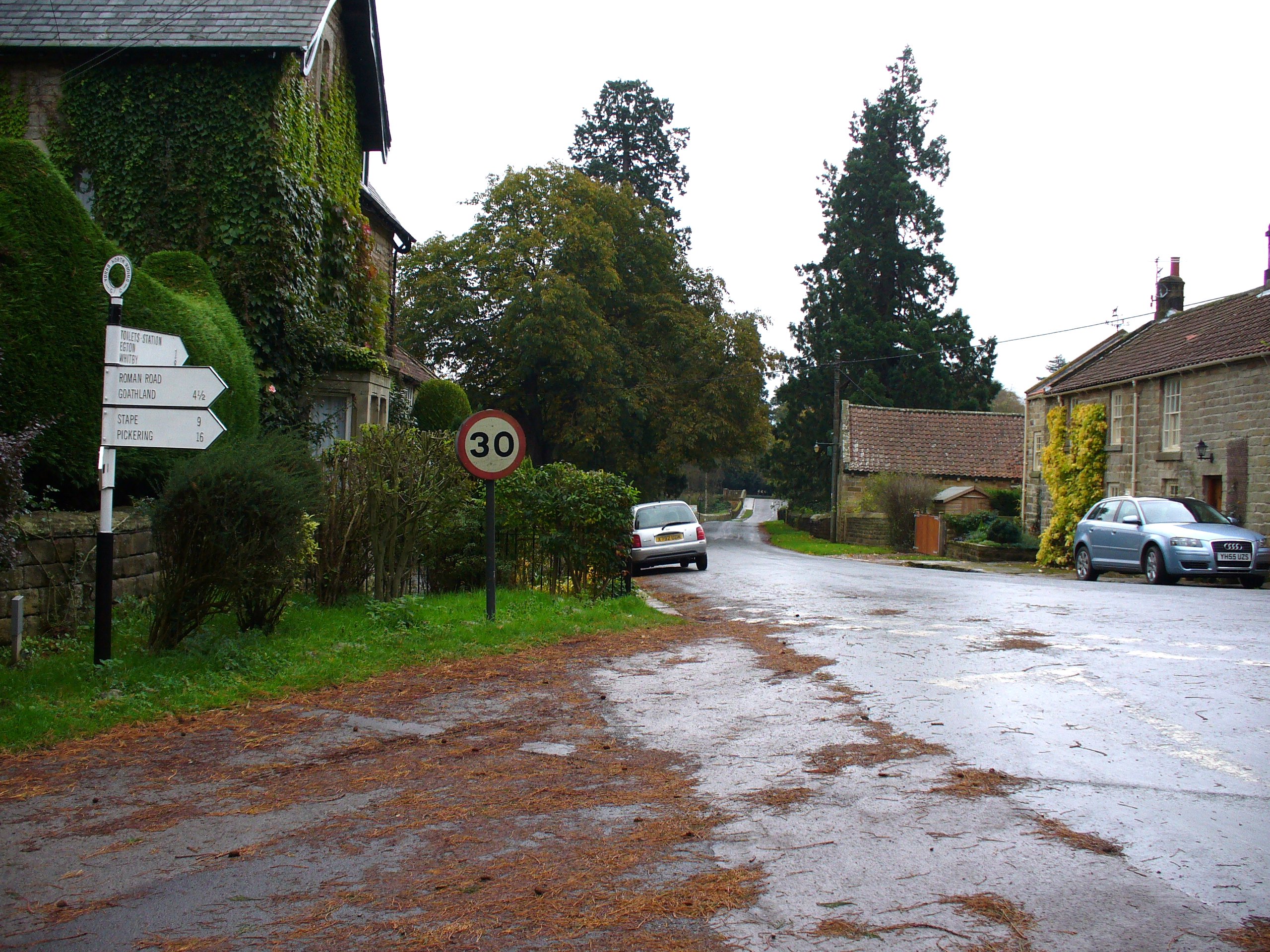
Egton
Egton is a village and civil parish in the Scarborough local administration district of North Yorkshire county, England, about 5 miles (8 km) west of Whitby...

Egton Manor
Egton Manor is an historic country house near the village of Egton Bridge, on the banks of the River Esk in the North Yorkshire Moors. The Grade II listed...
Glaisdale railway station
Glaisdale is a railway station on the Esk Valley Line, which runs between Middlesbrough and Whitby via Nunthorpe. The station, situated 9 miles 33 chains...

Grosmont, North Yorkshire
Grosmont ( GROH-mont; archaically spelt Growmond) is a village and civil parish situated in Eskdale in the North York Moors National Park, within the boundaries...

Grosmont Tunnel
The Grosmont Tunnels are two separate railway tunnels adjoining each other in the village of Grosmont, North Yorkshire, England. The first tunnel was built...
Nearby Amenities
Located within 500m of 54.441658,-0.76221783Have you been to Oak Hill Wood?
Leave your review of Oak Hill Wood below (or comments, questions and feedback).