Crow Wood
Wood, Forest in Yorkshire
England
Crow Wood
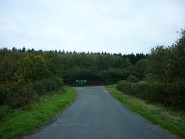
Crow Wood is a picturesque forest located in the county of Yorkshire, England. Covering an area of approximately 500 acres, it is a haven for nature enthusiasts and outdoor adventurers alike. The wood is predominantly made up of mature oak and beech trees, which create a dense canopy and provide a rich habitat for a variety of wildlife.
Walking through Crow Wood, visitors are greeted by a tranquil atmosphere and a sense of serenity. The forest floor is carpeted with a lush undergrowth of ferns, bluebells, and wildflowers, adding vibrant splashes of color to the landscape. The air is filled with the sweet scent of moss and damp earth, creating a sensory experience that is both invigorating and calming.
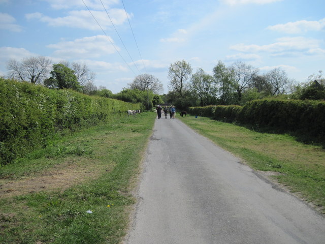
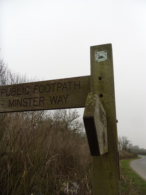
The wood is crisscrossed by a network of well-maintained trails, allowing visitors to explore its natural beauty at their own pace. These trails offer stunning viewpoints, with vistas of rolling hills and valleys stretching as far as the eye can see. It is not uncommon to encounter wildlife such as deer, squirrels, and a variety of bird species during a walk in Crow Wood.
For those seeking a more immersive experience, there are also camping facilities available within the wood, allowing visitors to spend the night under the starry Yorkshire sky. The tranquil atmosphere and absence of light pollution make it an ideal spot for stargazing.
Crow Wood is not only a natural gem but also an important ecosystem, providing a vital habitat for a diverse range of flora and fauna. Its beauty and tranquility make it a popular destination for nature lovers and a must-visit location in Yorkshire.
If you have any feedback on the listing, please let us know in the comments section below.
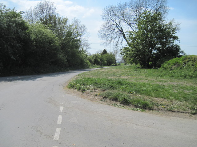
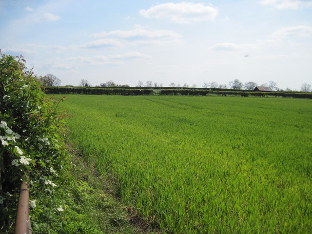
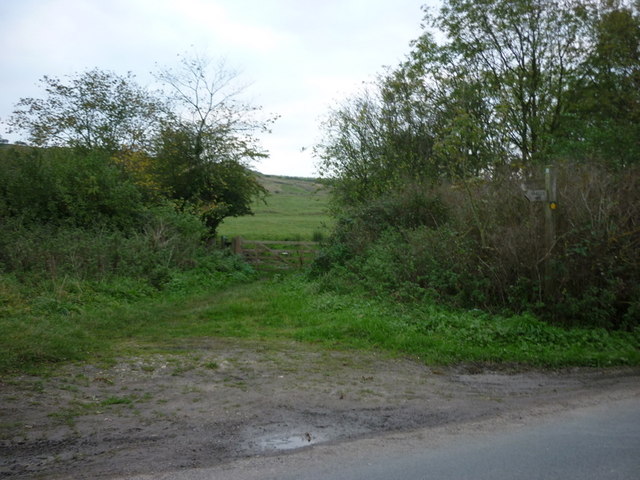
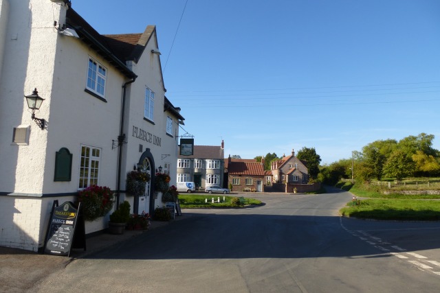
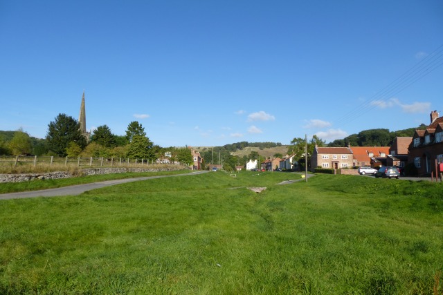
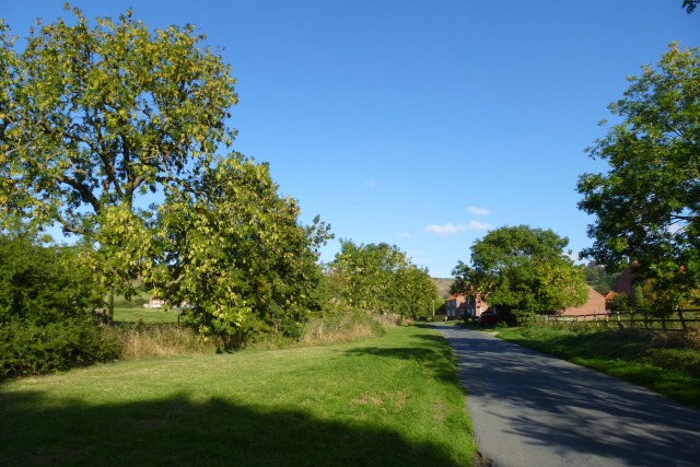
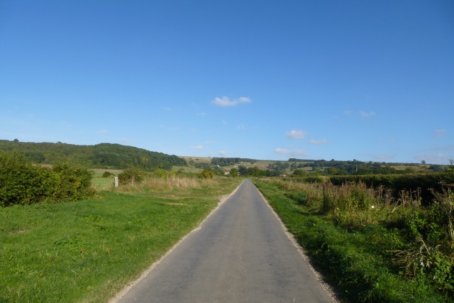
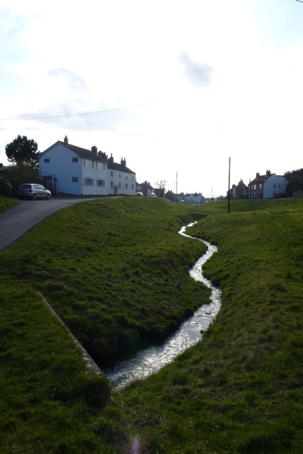
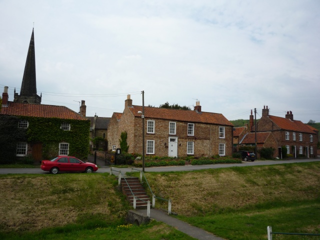
Crow Wood Images
Images are sourced within 2km of 53.991286/-0.77076124 or Grid Reference SE8055. Thanks to Geograph Open Source API. All images are credited.

Crow Wood is located at Grid Ref: SE8055 (Lat: 53.991286, Lng: -0.77076124)
Division: East Riding
Unitary Authority: East Riding of Yorkshire
Police Authority: Humberside
What 3 Words
///snowmen.stooping.shine. Near Kirby Underdale, East Yorkshire
Nearby Locations
Related Wikis
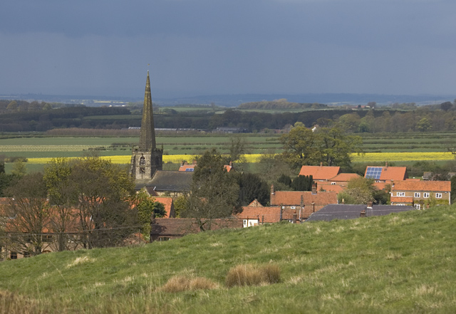
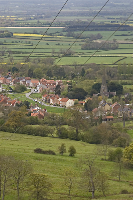
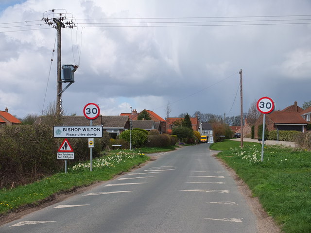
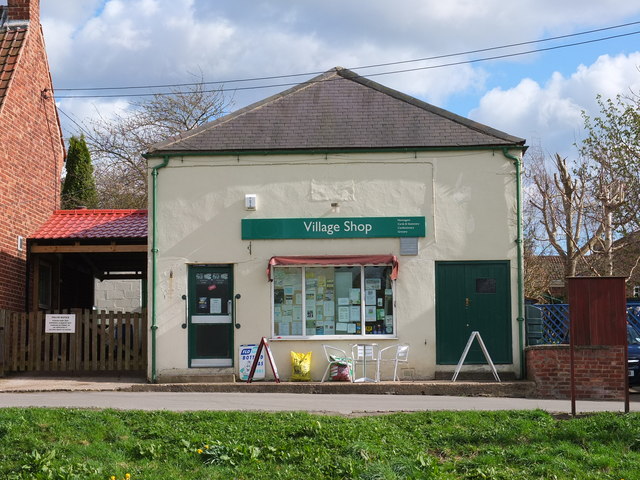
Bishop Wilton
Bishop Wilton is a small village and civil parish in the East Riding of Yorkshire, England. It is situated approximately 4 miles (6 km) north of Pocklington...

Bishop Wilton Wold
Bishop Wilton Wold is the highest point of the Yorkshire Wolds in the East Riding of Yorkshire, England. The summit, known as Garrowby Hill, lies about...

Great Givendale
Great Givendale is a hamlet in the East Riding of Yorkshire, England. It is situated approximately 3 miles (5 km) north of Pocklington. Great Givendale...
Garrowby
Garrowby is a hamlet in the East Riding of Yorkshire, England. It is situated approximately 5 miles (8 km) north of Pocklington town centre. It lies to...
Nearby Amenities
Located within 500m of 53.991286,-0.77076124Have you been to Crow Wood?
Leave your review of Crow Wood below (or comments, questions and feedback).