Old Wood
Wood, Forest in Yorkshire
England
Old Wood
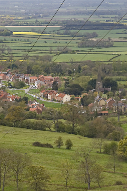
Old Wood is a captivating forest located in the county of Yorkshire, England. Known for its ancient and majestic trees, it covers a vast area of approximately 500 acres, providing a haven of tranquility and natural beauty for visitors. The wood is situated in the heart of the Yorkshire Dales National Park, adding to its appeal and making it a popular destination for nature enthusiasts and hikers.
The forest is primarily composed of deciduous trees, including oak, beech, and birch, which have stood the test of time, some dating back hundreds of years. These towering trees create a dense canopy, allowing only dappled sunlight to penetrate the forest floor, creating an enchanting and ethereal atmosphere. The woodland is also home to a diverse range of flora and fauna, including rare species of orchids, fungi, and various woodland birds.
Visitors to Old Wood can explore a network of winding footpaths and trails that lead through the forest, providing an opportunity to discover its hidden treasures. Along these paths, one can find charming clearings, babbling brooks, and peaceful ponds, adding to the magical ambiance.
In addition to its natural beauty, Old Wood holds historical significance. Within its boundaries lies the remnants of an ancient chapel, believed to date back to the medieval period. This historical site adds an extra layer of intrigue and showcases the rich cultural heritage of the area.
Overall, Old Wood in Yorkshire offers a truly immersive experience for those seeking solace in nature and a glimpse into the past. Its ancient trees, diverse wildlife, and historical landmarks make it a must-visit destination within the stunning Yorkshire countryside.
If you have any feedback on the listing, please let us know in the comments section below.
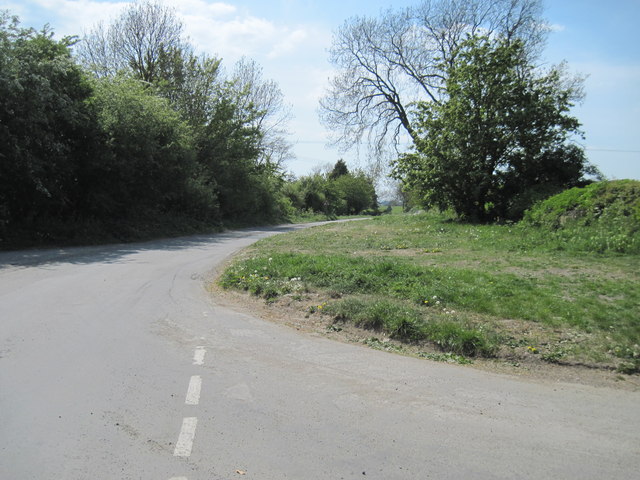
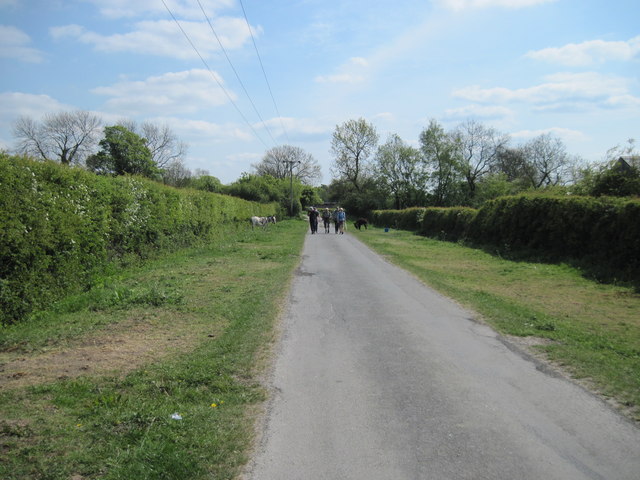
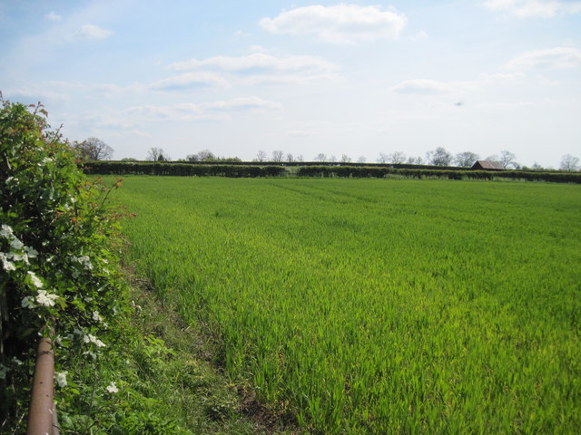
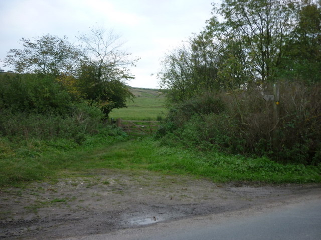
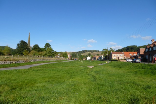
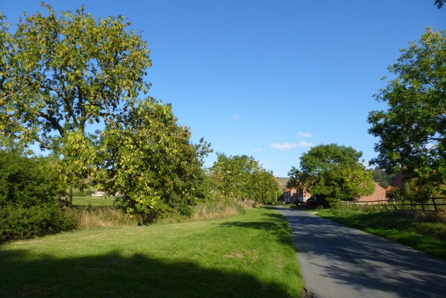
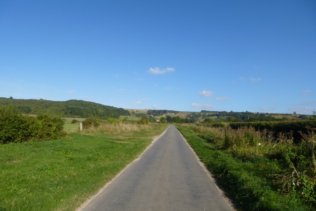
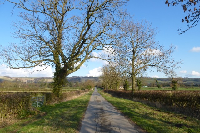
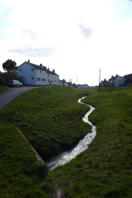
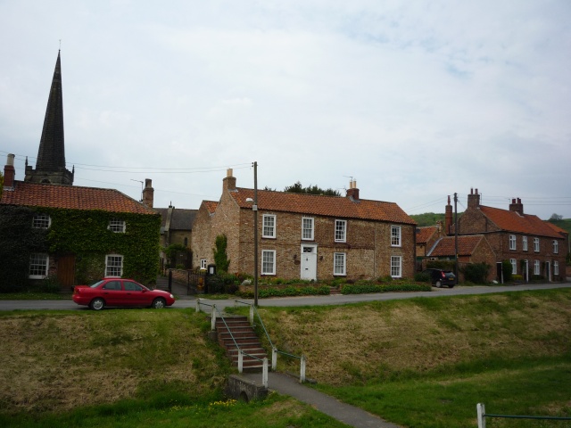
Old Wood Images
Images are sourced within 2km of 53.98671/-0.76982837 or Grid Reference SE8055. Thanks to Geograph Open Source API. All images are credited.

Old Wood is located at Grid Ref: SE8055 (Lat: 53.98671, Lng: -0.76982837)
Division: East Riding
Unitary Authority: East Riding of Yorkshire
Police Authority: Humberside
What 3 Words
///claim.workloads.daunting. Near Kirby Underdale, East Yorkshire
Nearby Locations
Related Wikis
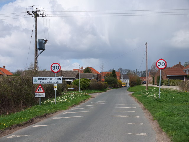
Bishop Wilton
Bishop Wilton is a small village and civil parish in the East Riding of Yorkshire, England. It is situated approximately 4 miles (6 km) north of Pocklington...

Great Givendale
Great Givendale is a hamlet in the East Riding of Yorkshire, England. It is situated approximately 3 miles (5 km) north of Pocklington. Great Givendale...

Beckhead Plantation
Beckhead Plantation is a Site of Special Scientific Interest (SSSI) and nature reserve in the East Riding of Yorkshire, England. It is located close to...

Bishop Wilton Wold
Bishop Wilton Wold is the highest point of the Yorkshire Wolds in the East Riding of Yorkshire, England. The summit, known as Garrowby Hill, lies about...
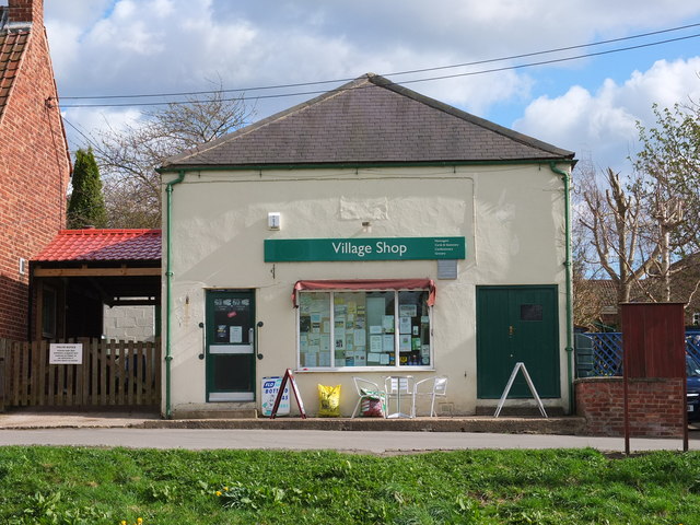
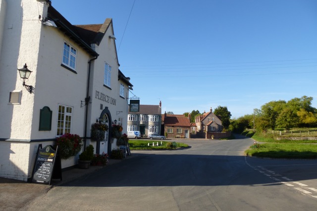
Nearby Amenities
Located within 500m of 53.98671,-0.76982837Have you been to Old Wood?
Leave your review of Old Wood below (or comments, questions and feedback).