Milner Wood
Wood, Forest in Yorkshire
England
Milner Wood
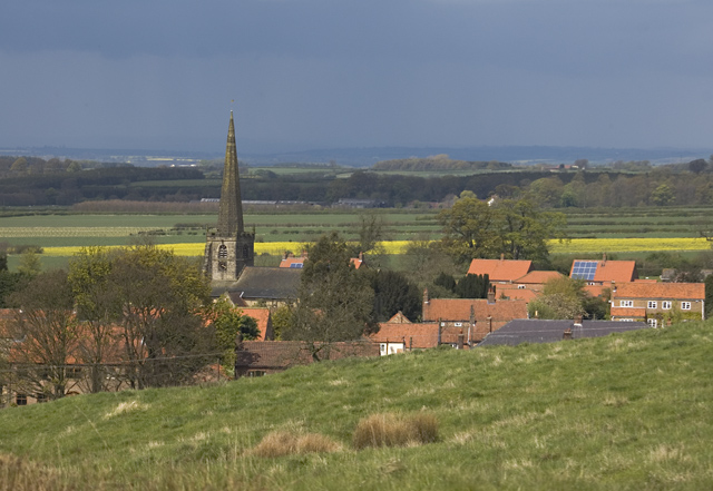
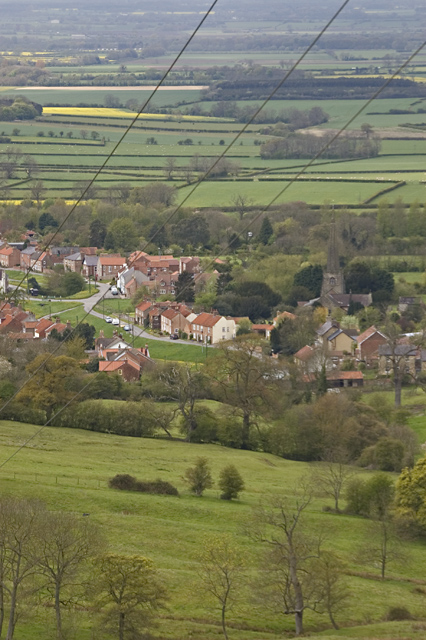
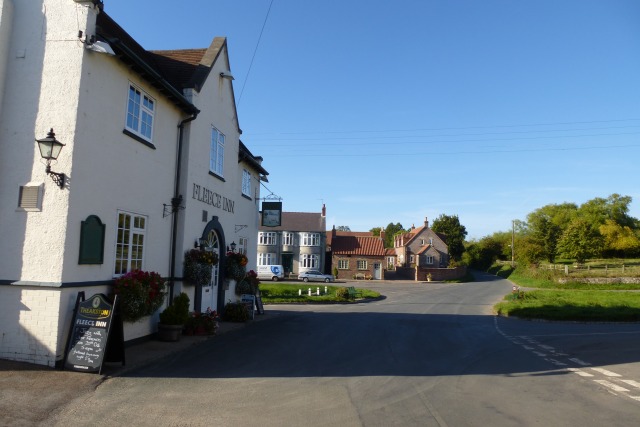
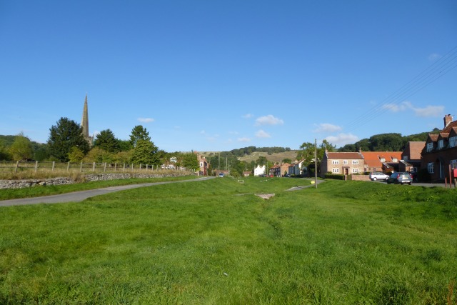
Milner Wood is a picturesque forest located in Yorkshire, England. Situated in the heart of the county, this woodland area covers a vast expanse of approximately 200 acres. The woodland is known for its rich biodiversity and stunning natural beauty, making it a popular destination for nature enthusiasts and outdoor adventurers.
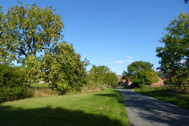
Milner Wood is home to a diverse range of flora and fauna. The forest is primarily composed of towering oak and beech trees, which provide a dense canopy that filters sunlight, creating a cool and shaded environment throughout the year. Underneath the towering trees, a vibrant undergrowth of ferns, bluebells, and wildflowers can be found, adding bursts of color to the woodland landscape.
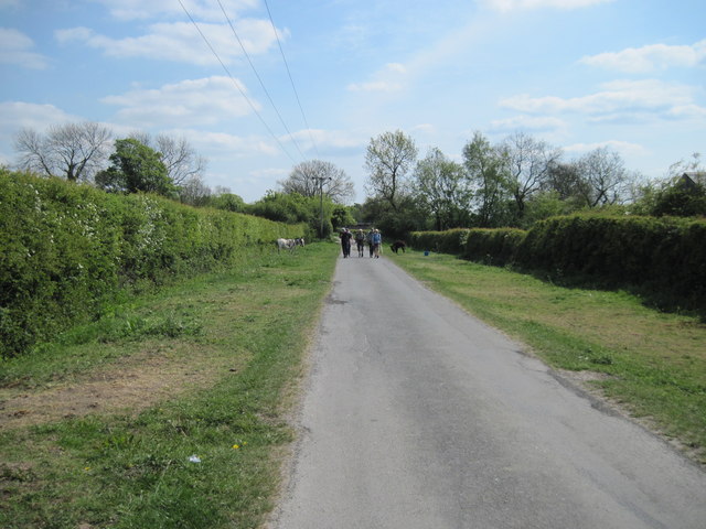
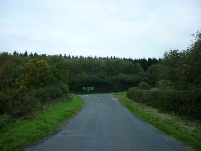
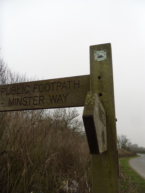
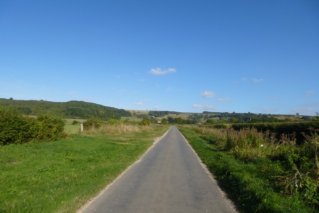
The forest is crisscrossed by numerous walking trails and footpaths, allowing visitors to explore the area at their own pace. These trails offer breathtaking views of the surrounding countryside and provide opportunities for spotting wildlife such as deer, rabbits, and a variety of bird species. Additionally, Milner Wood is home to several small streams and ponds, which further enhance its natural charm.
Milner Wood is a haven for outdoor activities, attracting visitors from near and far. The forest is a popular spot for hiking, cycling, and picnicking, with designated areas available for visitors to relax and enjoy the peaceful surroundings. Camping is also permitted in certain designated areas, allowing visitors to fully immerse themselves in the tranquility of the woodland.
Overall, Milner Wood is a remarkable natural gem in Yorkshire, offering a serene and captivating experience for those seeking a connection with nature.
If you have any feedback on the listing, please let us know in the comments section below.
Milner Wood Images
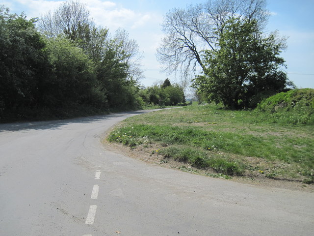
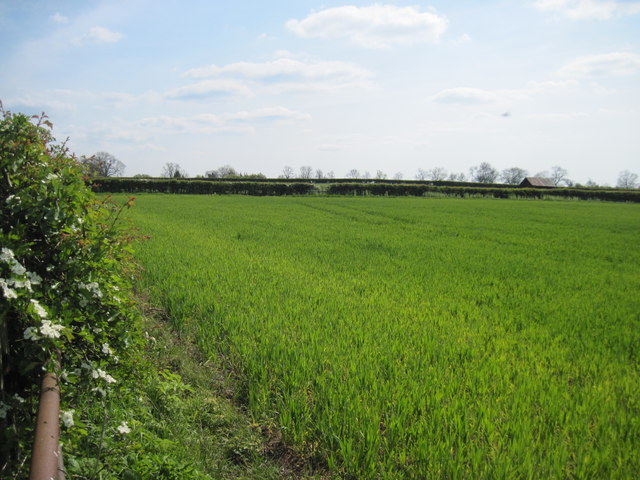
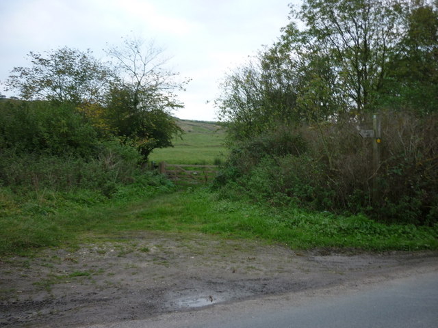
Images are sourced within 2km of 53.985685/-0.77856692 or Grid Reference SE8055. Thanks to Geograph Open Source API. All images are credited.


Milner Wood is located at Grid Ref: SE8055 (Lat: 53.985685, Lng: -0.77856692)
Division: East Riding
Unitary Authority: East Riding of Yorkshire
Police Authority: Humberside
What 3 Words
///coolest.puts.shook. Near Kirby Underdale, East Yorkshire
Nearby Locations
Related Wikis
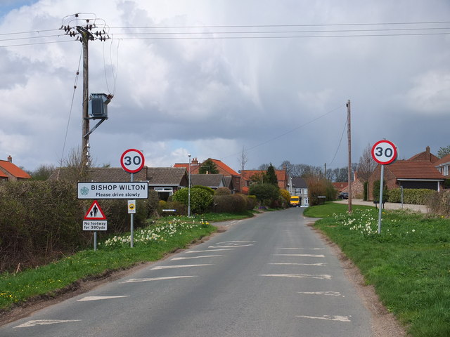
Bishop Wilton
Bishop Wilton is a small village and civil parish in the East Riding of Yorkshire, England. It is situated approximately 4 miles (6 km) north of Pocklington...

Great Givendale
Great Givendale is a hamlet in the East Riding of Yorkshire, England. It is situated approximately 3 miles (5 km) north of Pocklington. Great Givendale...

Beckhead Plantation
Beckhead Plantation is a Site of Special Scientific Interest (SSSI) and nature reserve in the East Riding of Yorkshire, England. It is located close to...

Garrowby
Garrowby is a hamlet in the East Riding of Yorkshire, England. It is situated approximately 5 miles (8 km) north of Pocklington town centre. It lies to...
Nearby Amenities
Located within 500m of 53.985685,-0.77856692Have you been to Milner Wood?
Leave your review of Milner Wood below (or comments, questions and feedback).