Salcey Forest
Wood, Forest in Northamptonshire
England
Salcey Forest
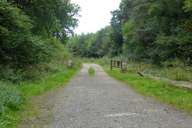
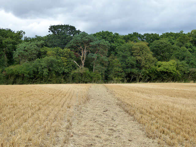
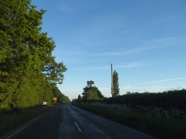
Salcey Forest is a picturesque woodland located in the county of Northamptonshire, England. Covering an area of approximately 347 hectares, it is one of the largest and most popular forests in the region. The forest is situated near the village of Hartwell, just a few miles away from the town of Northampton.
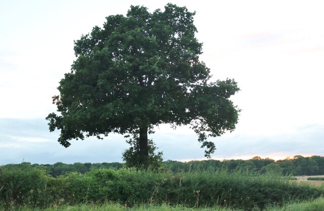
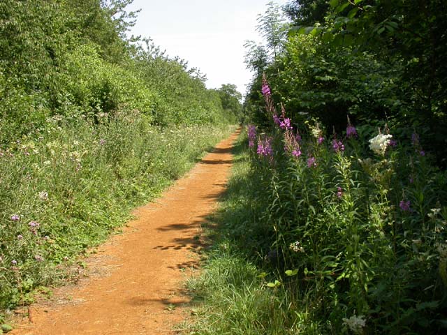
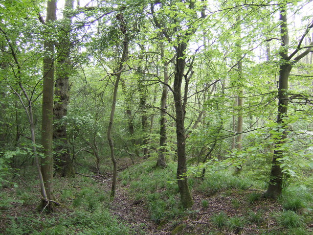
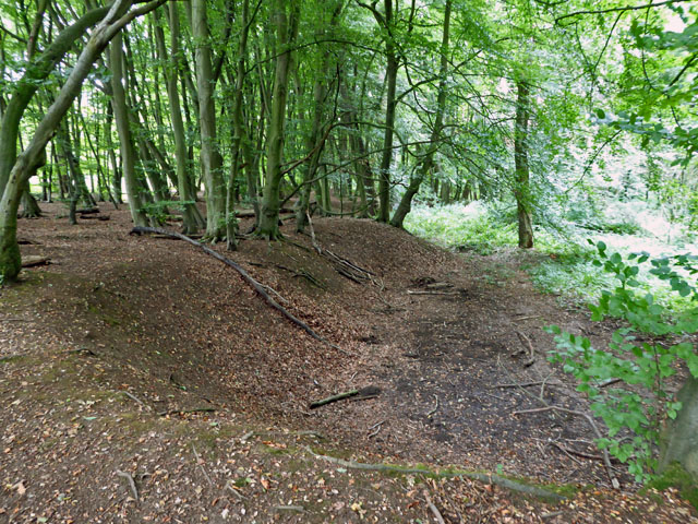
Known for its ancient oaks, Salcey Forest offers visitors a unique and immersive experience in nature. The forest is home to a diverse range of flora and fauna, including rare and protected species. It is designated as a Site of Special Scientific Interest, highlighting its importance for conservation.
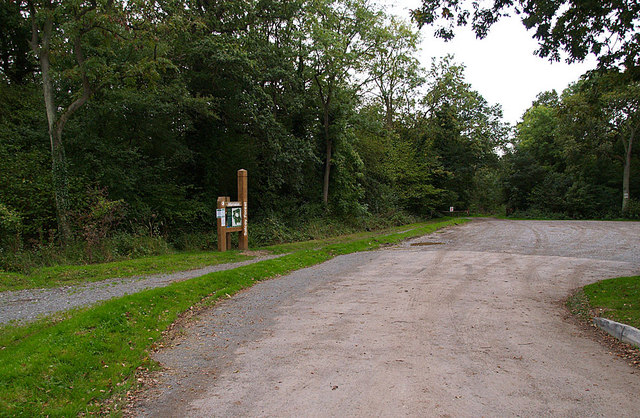
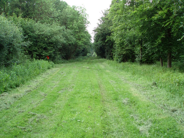
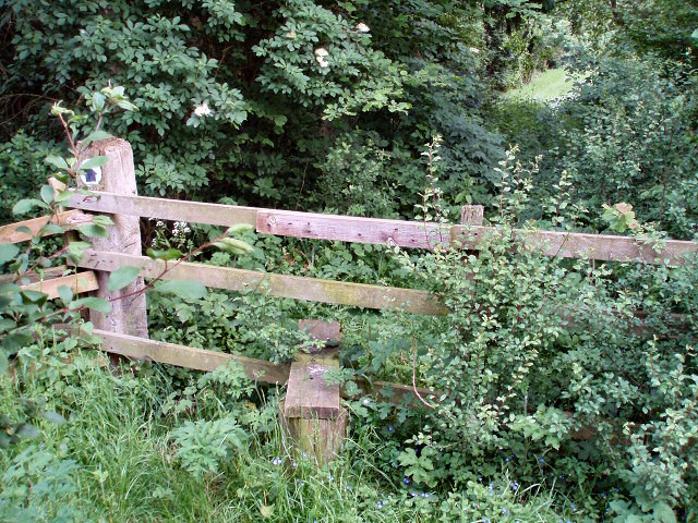
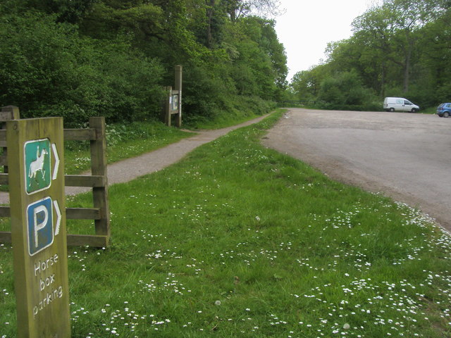
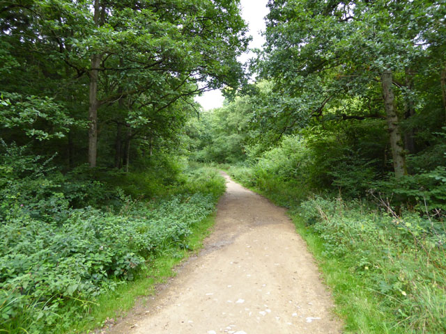
The forest provides a variety of recreational activities for visitors of all ages. There are numerous walking trails and cycling paths that wind through the woodland, allowing visitors to explore its natural beauty. The Tree Top Way, a 600-meter long wooden boardwalk, offers a stunning aerial view of the forest, providing a memorable experience for those who dare to climb its heights.
Salcey Forest also features a well-equipped visitor center, complete with a café, toilets, and a gift shop. The on-site café offers a selection of refreshments and snacks, perfect for a quick break during a day of exploration.
Furthermore, the forest hosts various events and activities throughout the year, including guided walks, nature talks, and art exhibitions. It is a popular destination for families, nature enthusiasts, and outdoor lovers, providing a tranquil escape from the hustle and bustle of everyday life.
If you have any feedback on the listing, please let us know in the comments section below.
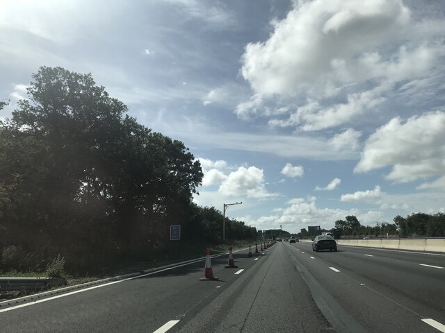
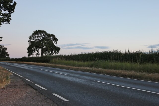
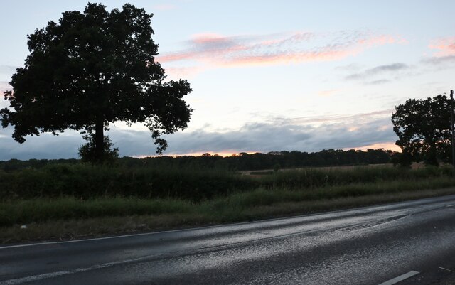
Salcey Forest Images
Images are sourced within 2km of 52.155883/-0.82920671 or Grid Reference SP8051. Thanks to Geograph Open Source API. All images are credited.

Salcey Forest is located at Grid Ref: SP8051 (Lat: 52.155883, Lng: -0.82920671)
Unitary Authority: West Northamptonshire
Police Authority: Northamptonshire
What 3 Words
///blanks.unrated.messed. Near Hartwell, Northamptonshire
Nearby Locations
Related Wikis

Salcey Forest
Salcey Forest is a fragment of a former medieval hunting forest east of the village of Hartwell, between Northampton and Newport Pagnell in Northamptonshire...
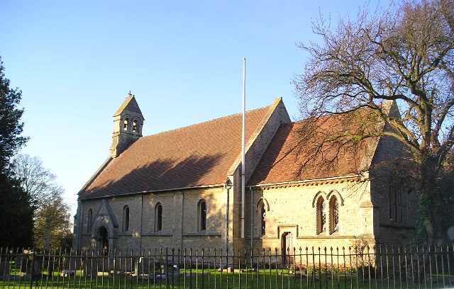
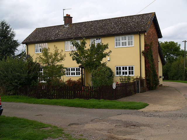
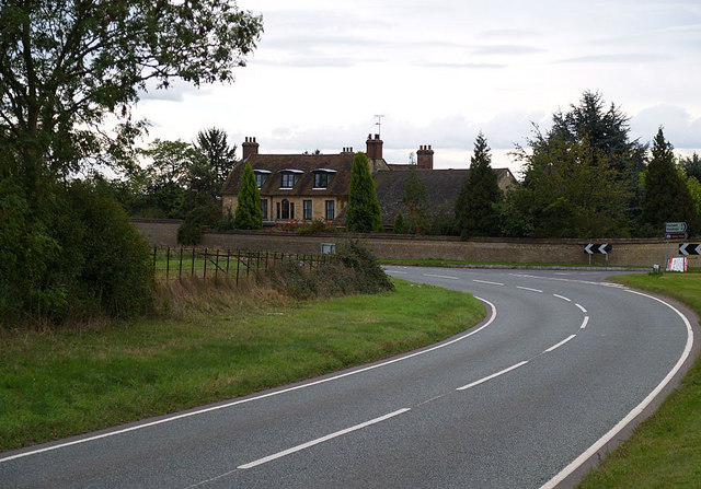
Hartwell, Northamptonshire
Hartwell is a village and civil parish in West Northamptonshire, England, bordering Buckinghamshire. The village is next to Salcey Forest and the M1 motorway...

Salcey Forest railway station
Salcey Forest railway station was a short-lived railway station in England, on the Stratford-upon-Avon, Towcester and Midland Junction Railway which opened...

Salcey Green
Salcey Green is an area of farm and wood land within the parish of Hanslope in the Borough of Milton Keynes, England. In 1830 it was the scene of an infamous...

Piddington, Northamptonshire
Piddington is a village and former civil parish, now in the parish of Hackleton, in the West Northamptonshire district, in the ceremonial county of Northamptonshire...
Piddington Roman Villa
Piddington Roman Villa is the remains of a large Roman villa at Piddington, Northamptonshire, about 6 miles (9.7 km) south-east of Northampton, a county...

Horton Hall
Horton Hall, known locally as Horton House, was a stone-built Georgian stately home, now demolished, located on a 3,764 acre estate stretching across nine...
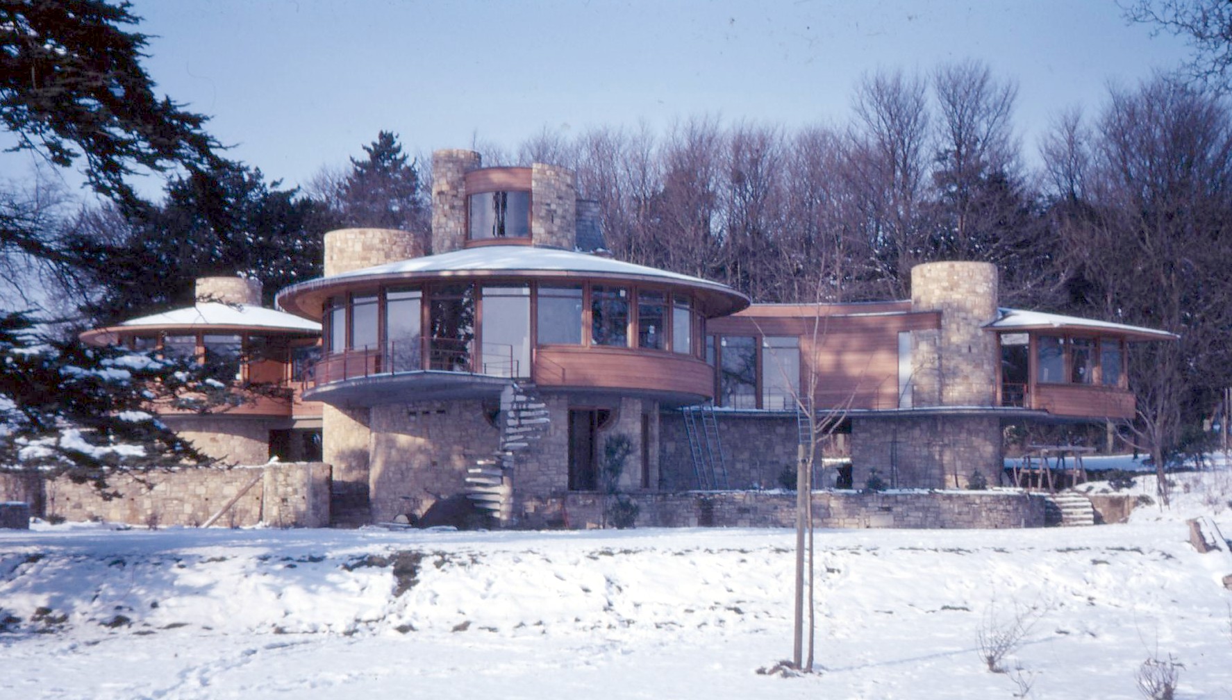
Horton Rounds
Horton Rounds is a modernist house in the village of Horton, Northamptonshire. The house was built in 1966 by A. A. J. Marshman, a senior partner in Marshman...
Nearby Amenities
Located within 500m of 52.155883,-0.82920671Have you been to Salcey Forest?
Leave your review of Salcey Forest below (or comments, questions and feedback).