Dean's Copse

Wood, Forest in Buckinghamshire

England

Dean's Copse

Eakley Lanes north of Stoke Goldington My last visit said this was Horton Road but the latest map shows it changing to Eakley Lanes after Horton.
Eakley Lanes north of Stoke Goldington Credit: David Howard

Dean's Copse is a charming woodland area located in Buckinghamshire, England. Covering an area of approximately 50 acres, it is a haven for nature enthusiasts and those seeking a peaceful retreat from the hustle and bustle of everyday life.

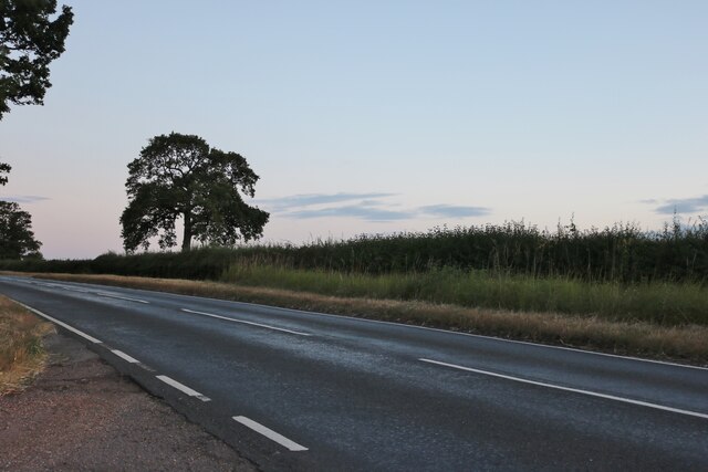
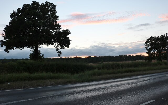
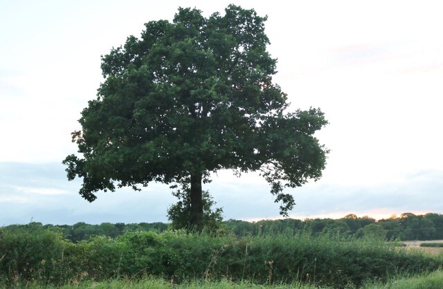
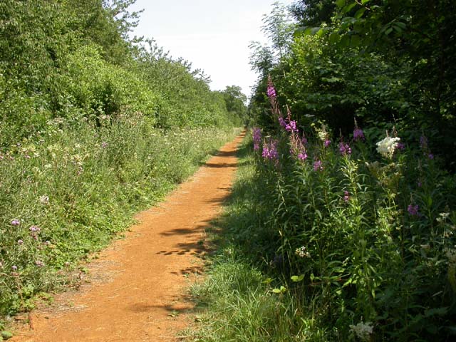
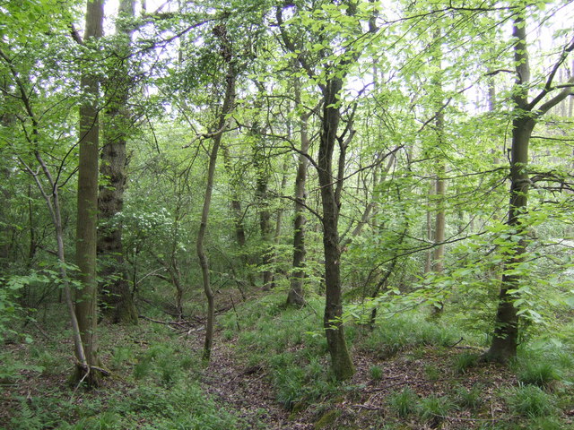
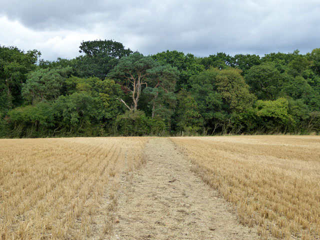
The copse is characterized by its dense and diverse range of trees, including oak, beech, and birch, which provide a lush green canopy overhead. The forest floor is covered in a rich carpet of ferns, wildflowers, and mosses, creating a picturesque scene that changes with the seasons.

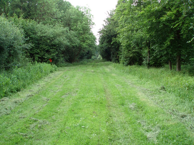
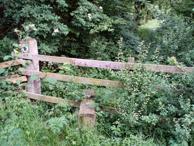
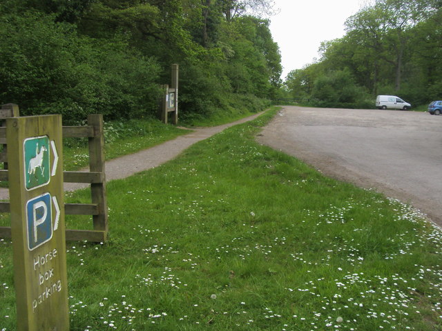
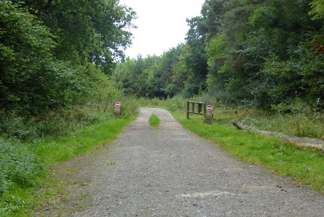
Tranquil walking trails wind their way through the copse, allowing visitors to explore the natural beauty at their own pace. These paths lead to hidden clearings, where one can find a sense of solitude and serenity. The copse is also home to a small stream that meanders through the woods, adding to its enchanting atmosphere.

The wildlife in Dean's Copse is abundant and varied. Birdsong fills the air as numerous species, including woodpeckers, owls, and thrushes, make their homes among the trees. Small mammals such as squirrels, rabbits, and voles can also be spotted scurrying through the undergrowth.

Dean's Copse has a rich history, with evidence of human activity dating back centuries. Archaeological finds suggest that the copse may have been used for charcoal production during medieval times. Today, it is managed by the local council, who work to preserve its natural beauty and protect its delicate ecosystem.

A visit to Dean's Copse promises a truly immersive experience in nature, with its tranquil ambiance, stunning flora, and fauna, making it a must-visit destination for nature lovers and those seeking a peaceful escape in Buckinghamshire.

If you have any feedback on the listing, please let us know in the comments section below.

Dean's Copse Images

Images are sourced within 2km of 52.153413/-0.82222617 or Grid Reference SP8051. Thanks to Geograph Open Source API. All images are credited.

Eakley Lanes north of Stoke Goldington My last visit said this was Horton Road but the latest map shows it changing to Eakley Lanes after Horton.
Eakley Lanes north of Stoke Goldington
My last visit said this was Horton Road but the latest map shows it changing to Eakley Lanes after Horton.
Eakley Lanes north of Stoke Goldington Sunset in the west.
Eakley Lanes north of Stoke Goldington
Sunset in the west.
Tree on Eakley Lanes north of Stoke Goldington
Smart Motorway works - M1 southbound
M1 near Hartwell The M1 is a north–south motorway connecting London to Leeds, where it joins the A1(M) near Aberford. It was the first motorway to be completed in the United Kingdom.
The motorway is 193 miles long and was constructed in four phases. Most of the motorway was opened between 1959 and 1968 but the southern end was extended in 1977 and the northern end was extended in 1999.
M1 near Hartwell
The M1 is a north–south motorway connecting London to Leeds, where it joins the A1(M) near Aberford. It was the first motorway to be completed in the United Kingdom. The motorway is 193 miles long and was constructed in four phases. Most of the motorway was opened between 1959 and 1968 but the southern end was extended in 1977 and the northern end was extended in 1999.
Variable Message Sign on the M1 near Hanslope Variable message signs (VMS), also sometimes referred to as matrix signs, are electronic traffic signs used on motorways (and some other major routes) to give drivers information about special events and to warn them about traffic congestion, accidents, incidents, roadworks or speed limits on specific sections of the route. They may also suggest (or instruct) drivers to take alternative routes, limit speed, warn of the duration and location of the incidents or just inform of the traffic conditions
Variable Message Sign on the M1 near Hanslope
Variable message signs (VMS), also sometimes referred to as matrix signs, are electronic traffic signs used on motorways (and some other major routes) to give drivers information about special events and to warn them about traffic congestion, accidents, incidents, roadworks or speed limits on specific sections of the route. They may also suggest (or instruct) drivers to take alternative routes, limit speed, warn of the duration and location of the incidents or just inform of the traffic conditions
The Woodpecker Trail, Salcey Forest The tall mauve flowers to the right of the trail are Rosebay Willow Herb. This trail is approximately 6 miles in length and is the longest on offer in the forest.
The Woodpecker Trail, Salcey Forest
The tall mauve flowers to the right of the trail are Rosebay Willow Herb. This trail is approximately 6 miles in length and is the longest on offer in the forest.
Grange Cottage, Salcey View On the North East tip of Salcey Forest, at the end of the lane off the B526.
Grange Cottage, Salcey View
On the North East tip of Salcey Forest, at the end of the lane off the B526.
Car Park on Swan's Way, Salcey Forest A popular car park for walkers, riders and cyclists. The track leads deep into the forest on the less-busy southern side. The forest warden told me that in the evenings (at the right time of year) nightingales can be heard calling.
Car Park on Swan's Way, Salcey Forest
A popular car park for walkers, riders and cyclists. The track leads deep into the forest on the less-busy southern side. The forest warden told me that in the evenings (at the right time of year) nightingales can be heard calling.
Bullshead Farm A fine looking building on the turn in the B526 road. Keep left to head towards Stoke Goldington or take a right to go through Salcey Forest.
Bullshead Farm
A fine looking building on the turn in the B526 road. Keep left to head towards Stoke Goldington or take a right to go through Salcey Forest.
Salcey Forest in mid-spring The beeches are leafing up nicely, but no bluebells, more's the pity!
Salcey Forest in mid-spring
The beeches are leafing up nicely, but no bluebells, more's the pity!
The Woodlands From the corner of the footpath.
The Woodlands
From the corner of the footpath.
Footpath through Little Horton Wood
Stile leading to Little Horton Wood
Stable and shed The footpath should go through somewhere round here but this field is fenced and there is no sign of where to go.
Stable and shed
The footpath should go through somewhere round here but this field is fenced and there is no sign of where to go.
Swan's Way Swan's Way start/finish in Salcey Forest
Swan's Way
Swan's Way start/finish in Salcey Forest
Track, Salcey Forest The no entry signs have an added 'No unauthorised vehicles'.
Track, Salcey Forest
The no entry signs have an added 'No unauthorised vehicles'.
Bridleway towards Salcey Forest It was remarkable how stony the field was - quite large lumps of stone were on the track.
Bridleway towards Salcey Forest
It was remarkable how stony the field was - quite large lumps of stone were on the track.
Show me another place!

Dean's Copse is located at Grid Ref: SP8051 (Lat: 52.153413, Lng: -0.82222617)

Unitary Authority: West Northamptonshire

Police Authority: Northamptonshire

What 3 Words

///electric.garlic.lively. Near Hartwell, Northamptonshire

Nearby Locations

Salcey Forest Dean's Copse

Related Wikis

Salcey Forest

Salcey Forest is a fragment of a former medieval hunting forest east of the village of Hartwell, between Northampton and Newport Pagnell in Northamptonshire...

Salcey Green

Salcey Green is an area of farm and wood land within the parish of Hanslope in the Borough of Milton Keynes, England. In 1830 it was the scene of an infamous...

Hartwell, Northamptonshire

Hartwell is a village and civil parish in West Northamptonshire, England, bordering Buckinghamshire. The village is next to Salcey Forest and the M1 motorway...

Salcey Forest railway station

Salcey Forest railway station was a short-lived railway station in England, on the Stratford-upon-Avon, Towcester and Midland Junction Railway which opened...

Nearby Amenities

Located within 500m of 52.153413,-0.82222617
Parking
Created By: Potlatch 0.10f
Lat/Long: 52.1517323/-0.8287909
The data included in this document is from www.openstreetmap.org. The data is made available under ODbL.

Have you been to Dean's Copse?

Leave your review of Dean's Copse below (or comments, questions and feedback).