Worsen Dale
Valley in Yorkshire
England
Worsen Dale
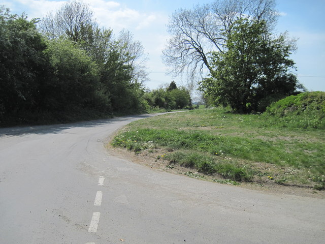
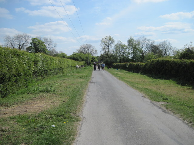
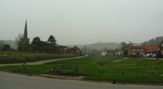
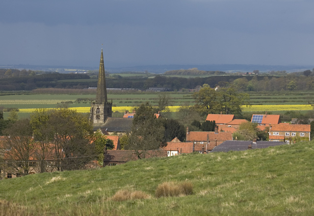
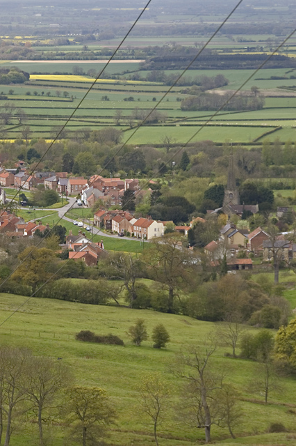
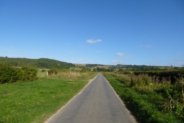
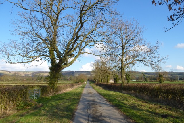
Worsen Dale is a picturesque valley located in the heart of Yorkshire, England. Nestled between rolling hills and lush greenery, this idyllic setting offers visitors a serene and tranquil escape from the hustle and bustle of city life.
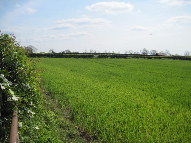
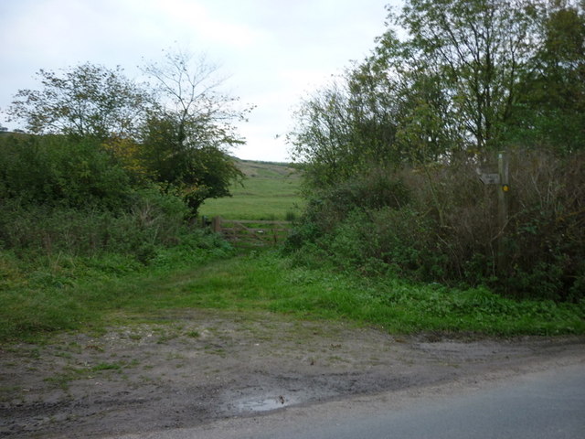
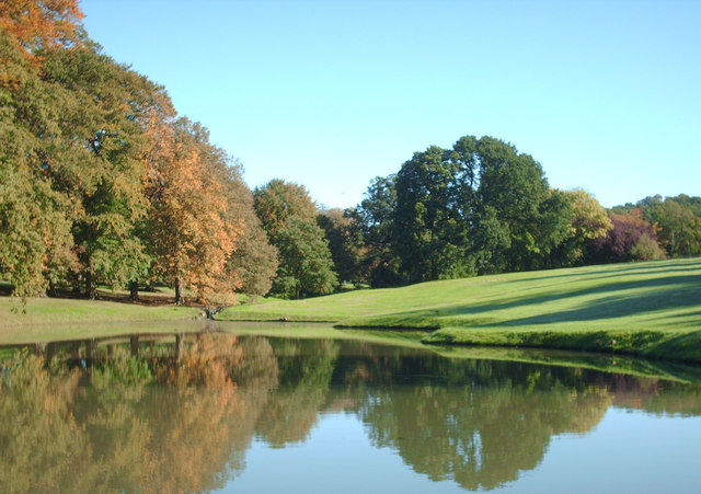
The valley is renowned for its natural beauty, with a meandering river that flows through the center, adding to its charm. The river is flanked by ancient woodlands, which are home to a diverse range of flora and fauna, making it a haven for nature lovers and wildlife enthusiasts.
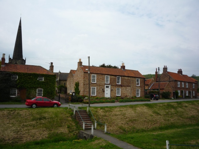
Worsen Dale is also dotted with traditional stone cottages, giving it a quaint and timeless feel. The local community takes pride in preserving the area's rich heritage, and many of these cottages have been lovingly restored to their former glory.
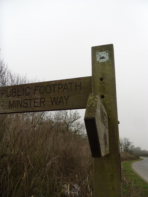
Outdoor enthusiasts will find plenty to do in Worsen Dale, with a network of walking trails that crisscross the valley, offering stunning views at every turn. The valley is also a popular spot for fishing, with anglers flocking to its riverbanks to try their hand at catching salmon and trout.
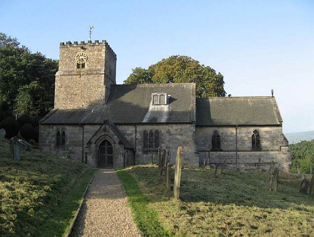
For those seeking a taste of local culture, the nearby village of Worsen Dale hosts an annual summer festival, where visitors can enjoy traditional music, dance, and food. The festival attracts locals and tourists alike and is a vibrant celebration of the area's heritage.
Overall, Worsen Dale is a hidden gem in Yorkshire, offering a peaceful retreat in a scenic countryside setting. Whether it's exploring nature, immersing oneself in local traditions, or simply unwinding in a tranquil environment, Worsen Dale has something to offer everyone.
If you have any feedback on the listing, please let us know in the comments section below.
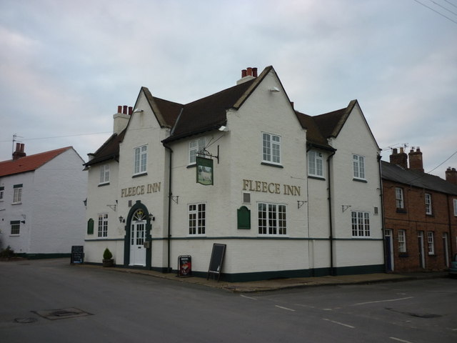
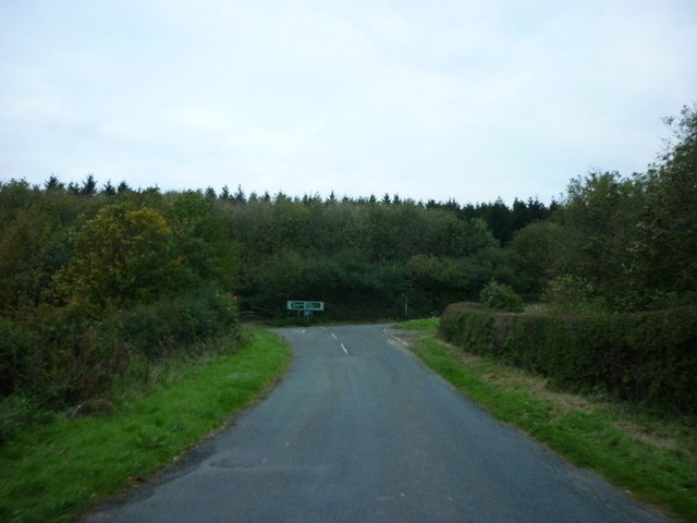
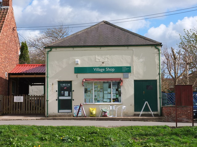
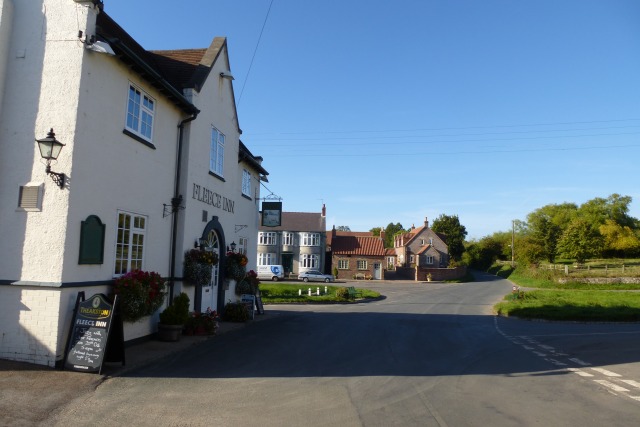
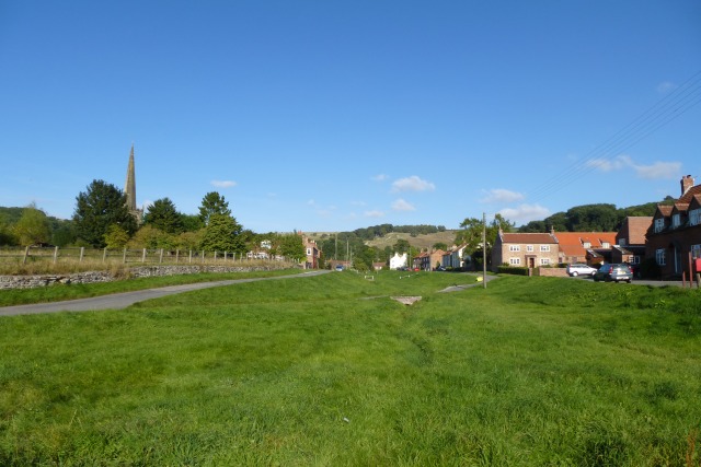
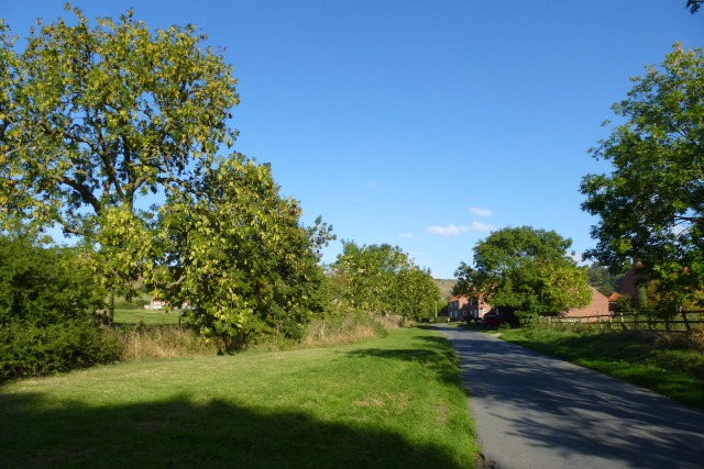
Worsen Dale Images
Images are sourced within 2km of 53.992332/-0.77381161 or Grid Reference SE8055. Thanks to Geograph Open Source API. All images are credited.
Worsen Dale is located at Grid Ref: SE8055 (Lat: 53.992332, Lng: -0.77381161)
Division: East Riding
Unitary Authority: East Riding of Yorkshire
Police Authority: Humberside
What 3 Words
///buildings.allies.freezing. Near Kirby Underdale, East Yorkshire
Nearby Locations
Related Wikis
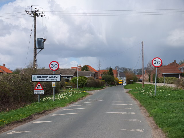
Bishop Wilton
Bishop Wilton is a small village and civil parish in the East Riding of Yorkshire, England. It is situated approximately 4 miles (6 km) north of Pocklington...

Bishop Wilton Wold
Bishop Wilton Wold is the highest point of the Yorkshire Wolds in the East Riding of Yorkshire, England. The summit, known as Garrowby Hill, lies about...
Garrowby
Garrowby is a hamlet in the East Riding of Yorkshire, England. It is situated approximately 5 miles (8 km) north of Pocklington town centre. It lies to...

Great Givendale
Great Givendale is a hamlet in the East Riding of Yorkshire, England. It is situated approximately 3 miles (5 km) north of Pocklington. Great Givendale...

Beckhead Plantation
Beckhead Plantation is a Site of Special Scientific Interest (SSSI) and nature reserve in the East Riding of Yorkshire, England. It is located close to...

Painsthorpe Abbey
Painsthorpe Abbey was a short-lived monastery of the Anglican Order of St. Benedict. It was established in 1902 at Painsthorpe in the East Riding of Yorkshire...

Painsthorpe
Painsthorpe is a hamlet in the East Riding of Yorkshire, England. It is located about 1 mile (1.6 km) east of the village of Kirby Underdale, the area...
Kirby Underdale
Kirby Underdale is a village and civil parish in the East Riding of Yorkshire, England. It is situated approximately six miles (ten kilometres) north...
Nearby Amenities
Located within 500m of 53.992332,-0.77381161Have you been to Worsen Dale?
Leave your review of Worsen Dale below (or comments, questions and feedback).