Brownmoor Plantation
Wood, Forest in Yorkshire Ryedale
England
Brownmoor Plantation
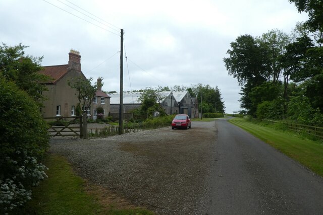
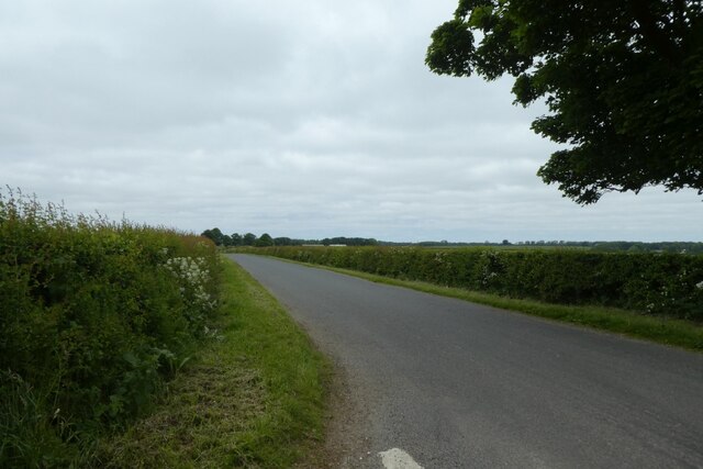
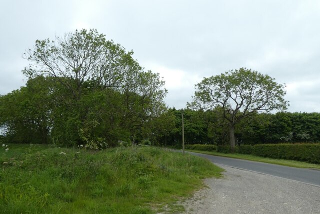
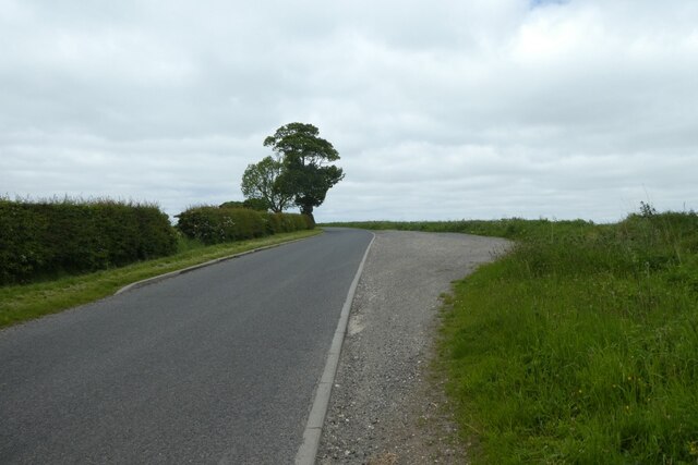
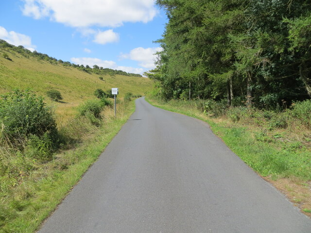
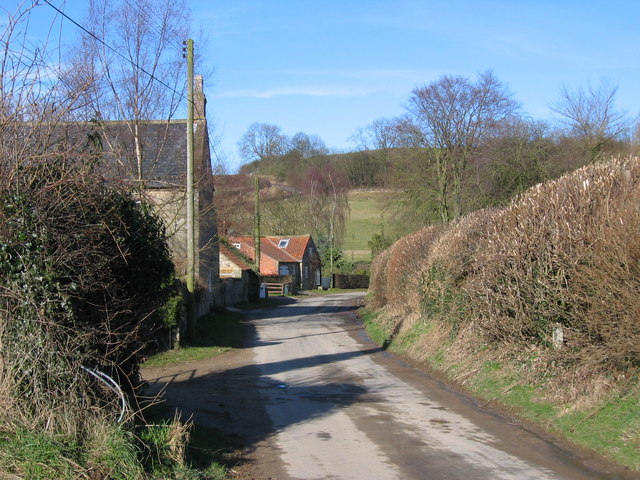
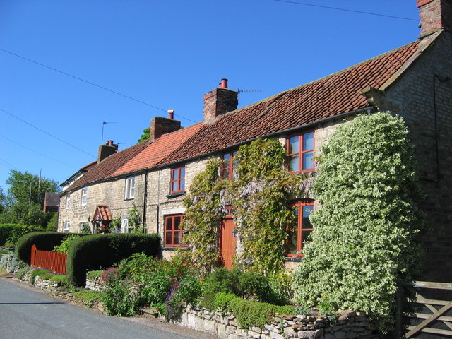
Brownmoor Plantation is a picturesque woodland area located in Yorkshire, England. Situated in the heart of the county, this plantation is renowned for its stunning natural beauty and rich biodiversity. Stretching over an expansive area, it serves as a vital habitat for numerous plant and animal species.
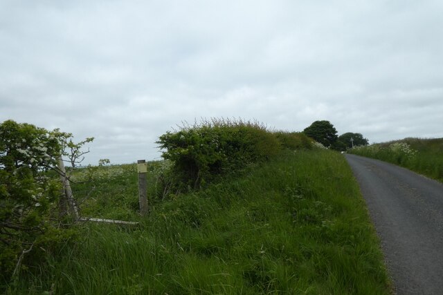
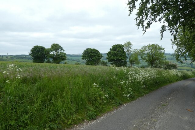
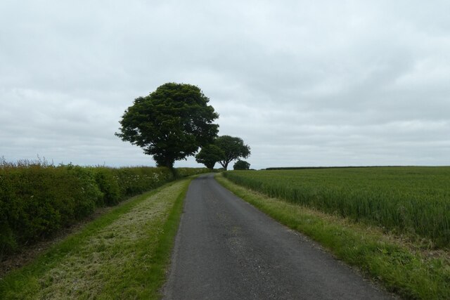
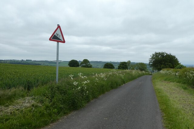
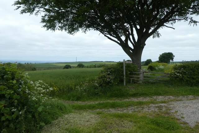
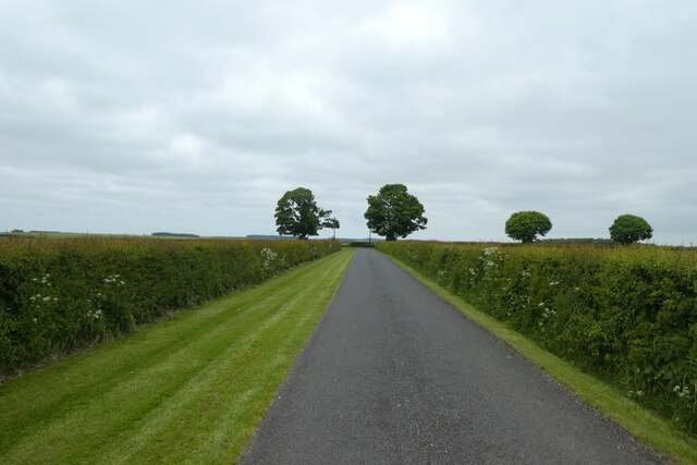
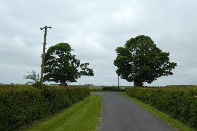
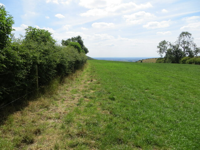
Covering a diverse range of terrain, Brownmoor Plantation features a mix of ancient woodlands, open fields, and dense forests. The woodlands are predominantly composed of oak and beech trees, which provide a lush canopy cover during the summer months. These trees have been standing for centuries and add to the plantation's historical significance.
The forest is home to a wide variety of wildlife, including deer, foxes, badgers, and an array of bird species. Birdwatchers flock to the plantation to catch a glimpse of rare and migratory birds, such as the Eurasian woodcock and the red kite. Additionally, the plantation boasts a thriving population of insects and small mammals, making it an ideal spot for nature enthusiasts.
Aside from its ecological importance, Brownmoor Plantation also offers recreational activities for visitors. It features well-maintained walking trails that wind through the woodland, providing an opportunity for people to explore and enjoy the peaceful surroundings. The plantation also has designated picnic areas, allowing visitors to relax and take in the scenic beauty while enjoying a meal.
Overall, Brownmoor Plantation stands as a testament to Yorkshire's natural splendor. Its diverse ecosystems and breathtaking landscapes make it a must-visit destination for nature lovers and outdoor enthusiasts alike.
If you have any feedback on the listing, please let us know in the comments section below.
Brownmoor Plantation Images
Images are sourced within 2km of 54.052239/-0.77383571 or Grid Reference SE8062. Thanks to Geograph Open Source API. All images are credited.


Brownmoor Plantation is located at Grid Ref: SE8062 (Lat: 54.052239, Lng: -0.77383571)
Division: East Riding
Administrative County: North Yorkshire
District: Ryedale
Police Authority: North Yorkshire
What 3 Words
///onto.frost.linguists. Near Kirby Underdale, East Yorkshire
Nearby Locations
Related Wikis

Buckrose
Buckrose was a wapentake of the historic East Riding of Yorkshire, England consisting of the north-west part of the county; its territory is now partly...

Minster FM
Minster FM was an Independent Local Radio station serving York and the surrounding areas such as Selby, Tadcaster, Thirsk, Northallerton and Goole. The...

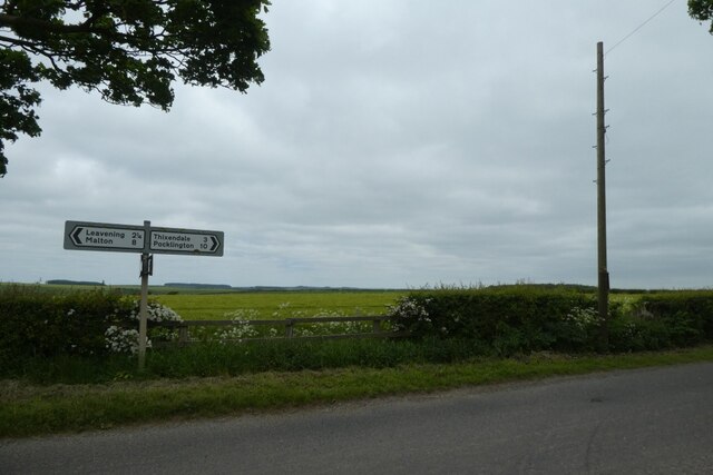
Leavening, North Yorkshire
Leavening is a village and civil parish in the Ryedale district of North Yorkshire, England. The village is situated approximately 13 miles (20 km) north...
Acklam, Ryedale
Acklam is a small village and civil parish in North Yorkshire, England. It is situated approximately 12 miles (20 km) north-east of York city centre and...
Birdsall House
Birdsall House is an English country house in Birdsall, North Yorkshire. It is a Grade II* listed building.The house dates from the late 16th century but...
Burythorpe
Burythorpe is a village and civil parish in North Yorkshire, England, about 4 miles (6 km) south of Malton. According to the 2001 census it had a population...

Uncleby
Uncleby is a hamlet in the East Riding of Yorkshire, England. It forms part of the civil parish of Kirby Underdale. It is situated approximately 6.5 miles...
Birdsall, North Yorkshire
Birdsall is a village and civil parish in North Yorkshire, England. According to the 2001 census it had a population of 180, increasing to 343 at the 2011...
Related Videos
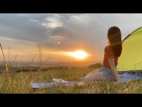
Olivia's Sanctuary | North Yorkshire Wild Camping INCREDIBLE SUNSET - Self alignment and clarity!!
I went wild camping in North Yorkshire last night on a whim and had a whole field to myself and got to see the most stunning ...
Nearby Amenities
Located within 500m of 54.052239,-0.77383571Have you been to Brownmoor Plantation?
Leave your review of Brownmoor Plantation below (or comments, questions and feedback).