Organ's Hill

Hill, Mountain in Northamptonshire

England

Organ's Hill

Smart Motorway works - M1 southbound
Smart Motorway works - M1 southbound Credit: Dave Thompson

Organ's Hill is a prominent hill located in the county of Northamptonshire, England. Situated near the village of Great Oxendon, it is known for its picturesque landscape and historical significance. Standing at an elevation of approximately 150 meters (492 feet), it is one of the highest points in the surrounding area.

The hill derived its name from the nearby Oxendon Hall, which was once owned by the Organ family. The summit of Organ's Hill offers breathtaking panoramic views of the rolling countryside, with lush green fields and charming villages dotting the landscape. On a clear day, one can even catch a glimpse of the distant towns of Market Harborough and Kettering.

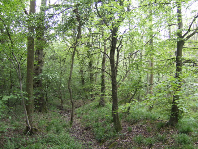
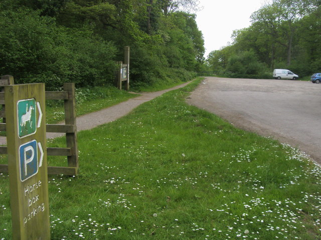
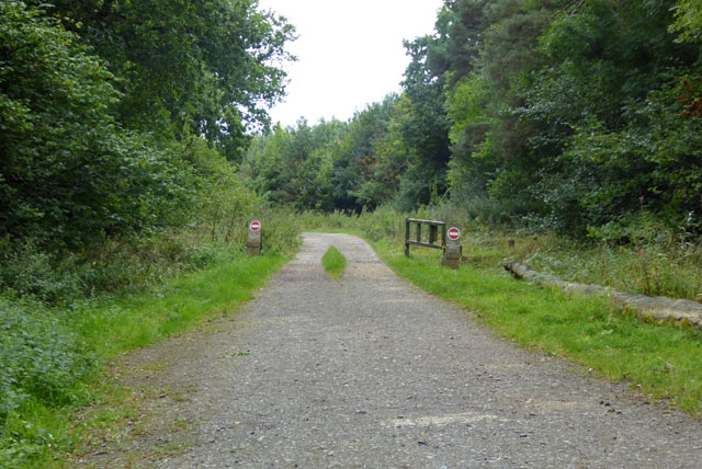
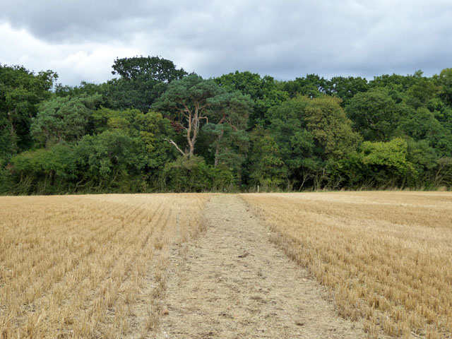
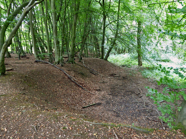
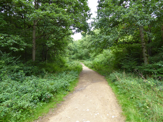
The hill is a popular destination for outdoor enthusiasts and nature lovers, offering various walking and hiking trails. The surrounding countryside is abundant with wildlife, and visitors may encounter a variety of bird species, including kestrels and buzzards. Additionally, the hill features a diverse range of flora, with wildflowers and ancient woodlands adding to its natural beauty.

Organ's Hill also holds historical significance, with evidence of Iron Age and Roman settlements in the vicinity. Archaeological excavations have unearthed artifacts such as pottery and coins, providing insights into the area's past. The hill serves as a reminder of the region's rich heritage and cultural heritage.

Overall, Organ's Hill in Northamptonshire offers visitors a chance to immerse themselves in the natural beauty of the English countryside while also providing a glimpse into the area's fascinating history.

If you have any feedback on the listing, please let us know in the comments section below.

Organ's Hill Images

Images are sourced within 2km of 52.146817/-0.82346705 or Grid Reference SP8050. Thanks to Geograph Open Source API. All images are credited.

Smart Motorway works - M1 southbound
M1 near Hartwell The M1 is a north–south motorway connecting London to Leeds, where it joins the A1(M) near Aberford. It was the first motorway to be completed in the United Kingdom.
The motorway is 193 miles long and was constructed in four phases. Most of the motorway was opened between 1959 and 1968 but the southern end was extended in 1977 and the northern end was extended in 1999.
M1 near Hartwell
The M1 is a north–south motorway connecting London to Leeds, where it joins the A1(M) near Aberford. It was the first motorway to be completed in the United Kingdom. The motorway is 193 miles long and was constructed in four phases. Most of the motorway was opened between 1959 and 1968 but the southern end was extended in 1977 and the northern end was extended in 1999.
Forest Road crossing M1 southbound
Matrix Board - M1 southbound
Forest Road crosses M1 southbound  A moment of unrestricted movement on this notoriously congested motorway. Forest Road is within the district of the City of Milton Keynes.
Forest Road crosses M1 southbound
A moment of unrestricted movement on this notoriously congested motorway. Forest Road is within the district of the City of Milton Keynes.
Variable Message Sign on the M1 near Hanslope Variable message signs (VMS), also sometimes referred to as matrix signs, are electronic traffic signs used on motorways (and some other major routes) to give drivers information about special events and to warn them about traffic congestion, accidents, incidents, roadworks or speed limits on specific sections of the route. They may also suggest (or instruct) drivers to take alternative routes, limit speed, warn of the duration and location of the incidents or just inform of the traffic conditions
Variable Message Sign on the M1 near Hanslope
Variable message signs (VMS), also sometimes referred to as matrix signs, are electronic traffic signs used on motorways (and some other major routes) to give drivers information about special events and to warn them about traffic congestion, accidents, incidents, roadworks or speed limits on specific sections of the route. They may also suggest (or instruct) drivers to take alternative routes, limit speed, warn of the duration and location of the incidents or just inform of the traffic conditions
Accommodation Bridge across the M1 at Spinney Lodge Farm The M1 is a north–south motorway connecting London to Leeds, where it joins the A1(M) near Aberford. It was the first motorway to be completed in the United Kingdom.
The motorway is 193 miles long and was constructed in four phases. Most of the motorway was opened between 1959 and 1968 but the southern end was extended in 1977 and the northern end was extended in 1999.
Accommodation Bridge across the M1 at Spinney Lodge Farm
The M1 is a north–south motorway connecting London to Leeds, where it joins the A1(M) near Aberford. It was the first motorway to be completed in the United Kingdom. The motorway is 193 miles long and was constructed in four phases. Most of the motorway was opened between 1959 and 1968 but the southern end was extended in 1977 and the northern end was extended in 1999.
Car Park on Swan's Way, Salcey Forest A popular car park for walkers, riders and cyclists. The track leads deep into the forest on the less-busy southern side. The forest warden told me that in the evenings (at the right time of year) nightingales can be heard calling.
Car Park on Swan's Way, Salcey Forest
A popular car park for walkers, riders and cyclists. The track leads deep into the forest on the less-busy southern side. The forest warden told me that in the evenings (at the right time of year) nightingales can be heard calling.
Bullshead Farm A fine looking building on the turn in the B526 road. Keep left to head towards Stoke Goldington or take a right to go through Salcey Forest.
Bullshead Farm
A fine looking building on the turn in the B526 road. Keep left to head towards Stoke Goldington or take a right to go through Salcey Forest.
Salcey Forest in mid-spring The beeches are leafing up nicely, but no bluebells, more's the pity!
Salcey Forest in mid-spring
The beeches are leafing up nicely, but no bluebells, more's the pity!
Stable and shed The footpath should go through somewhere round here but this field is fenced and there is no sign of where to go.
Stable and shed
The footpath should go through somewhere round here but this field is fenced and there is no sign of where to go.
Swan's Way Swan's Way start/finish in Salcey Forest
Swan's Way
Swan's Way start/finish in Salcey Forest
Track, Salcey Forest The no entry signs have an added 'No unauthorised vehicles'.
Track, Salcey Forest
The no entry signs have an added 'No unauthorised vehicles'.
Bridleway towards Salcey Forest It was remarkable how stony the field was - quite large lumps of stone were on the track.
Bridleway towards Salcey Forest
It was remarkable how stony the field was - quite large lumps of stone were on the track.
Old pit, Salcey Forest On old maps shown as an old gravel pit, which is not the mineral that immediately springs to mind in these parts. The geological map suggests limestone is more likely.
Old pit, Salcey Forest
On old maps shown as an old gravel pit, which is not the mineral that immediately springs to mind in these parts. The geological map suggests limestone is more likely.
Bridleway in Salcey Forest One of many paths and tracks in the Forestry Commission woodland.
Bridleway in Salcey Forest
One of many paths and tracks in the Forestry Commission woodland.
House on Horton Road, Eakley
The B526, Eakley
The B526, Eakley
Show me another place!

Organ's Hill is located at Grid Ref: SP8050 (Lat: 52.146817, Lng: -0.82346705)

Unitary Authority: West Northamptonshire

Police Authority: Northamptonshire

What 3 Words

///varieties.dictation.valuables. Near Hartwell, Northamptonshire

Related Wikis

Salcey Forest

Salcey Forest is a fragment of a former medieval hunting forest east of the village of Hartwell, between Northampton and Newport Pagnell in Northamptonshire...

Salcey Green

Salcey Green is an area of farm and wood land within the parish of Hanslope in the Borough of Milton Keynes, England. In 1830 it was the scene of an infamous...

Hartwell, Northamptonshire

Hartwell is a village and civil parish in West Northamptonshire, England, bordering Buckinghamshire. The village is next to Salcey Forest and the M1 motorway...

Long Street, Buckinghamshire

Long Street is a hamlet in the parish of Hanslope, in the unitary authority area of the City of Milton Keynes, ceremonial Buckinghamshire, England. It...

Salcey Forest railway station

Salcey Forest railway station was a short-lived railway station in England, on the Stratford-upon-Avon, Towcester and Midland Junction Railway which opened...

Hanslope

Hanslope is a village and civil parish in the unitary authority area of the City of Milton Keynes, Buckinghamshire, England. The village is about 4 miles...

Stoke Goldington Steam Rally

Stoke Goldington Steam Rally & Country Fayre was an annual show which showcased UK heritage in the form of Steam Engines, Stationary Engines, vintage tractors...

Stoke Goldington

Stoke Goldington is a village and civil parish in the unitary authority area of the City of Milton Keynes, Buckinghamshire, England. It is located about...

Have you been to Organ's Hill?

Leave your review of Organ's Hill below (or comments, questions and feedback).