Kepwick

Settlement in Yorkshire Hambleton

England

Kepwick

Cowesby village Sandstone houses with pantile roofs are a feature of this tiny village nestled at the base of the Hambleton Hills.
Cowesby village Credit: Gordon Hatton

Kepwick is a small village located in the Hambleton district of North Yorkshire, England. Situated approximately 12 miles north of the market town of Northallerton, it lies in the picturesque countryside of the North York Moors National Park. The village is home to a population of around 150 residents.

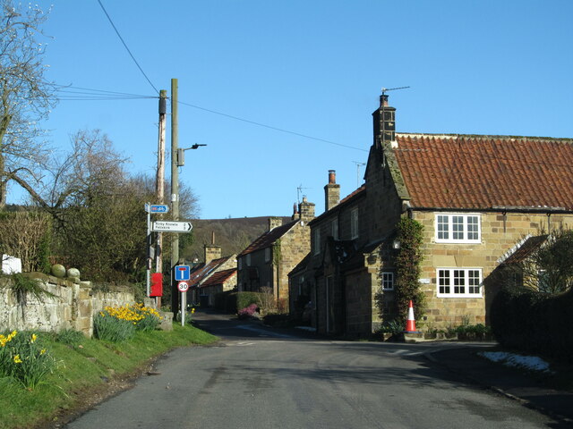
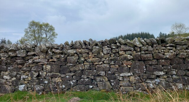
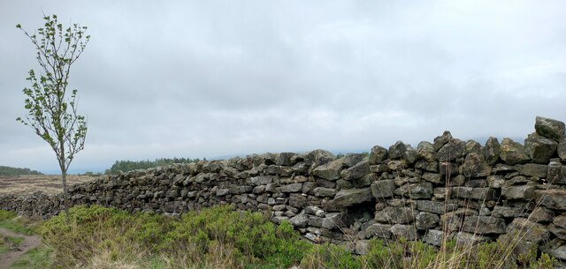
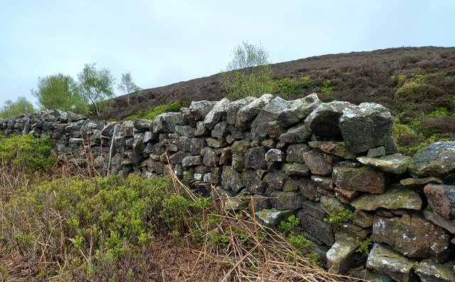
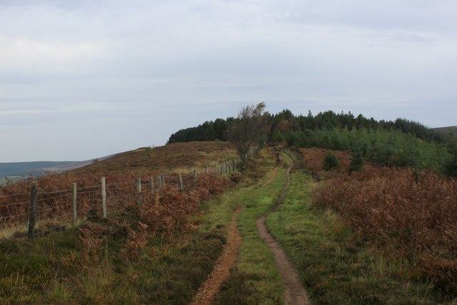
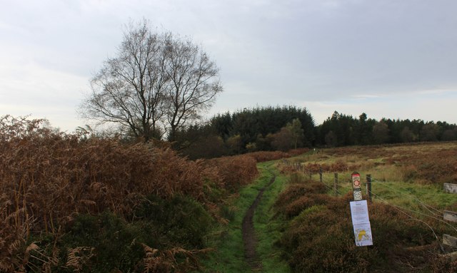
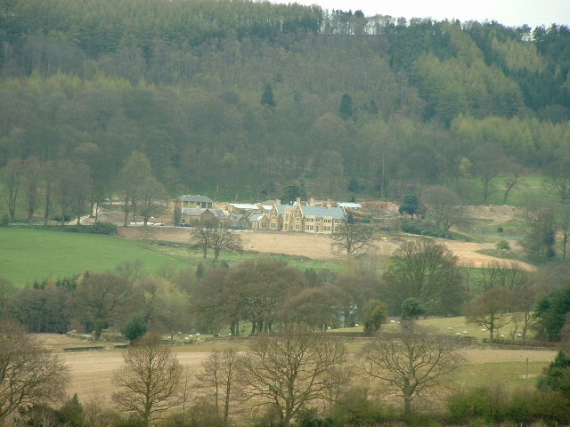
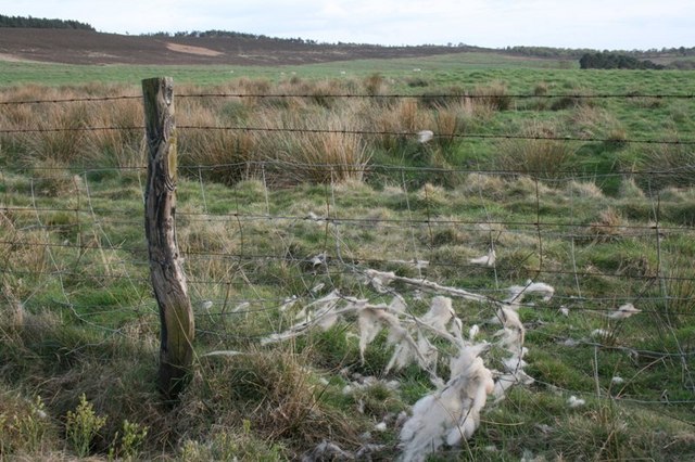
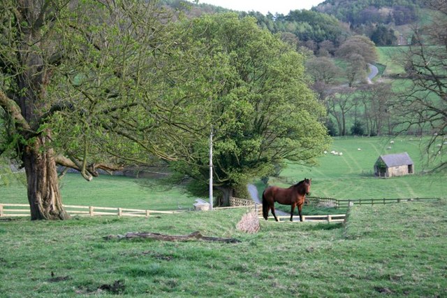
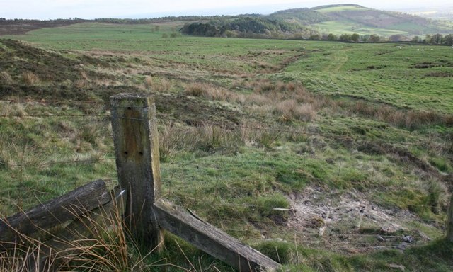
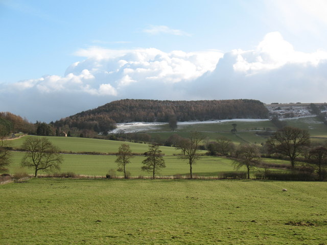
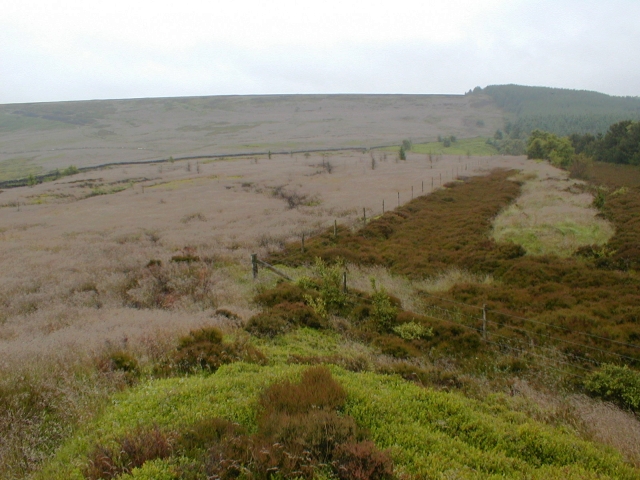
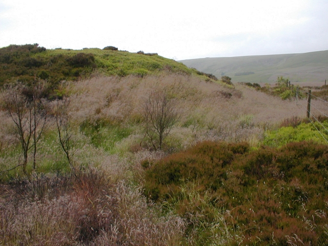
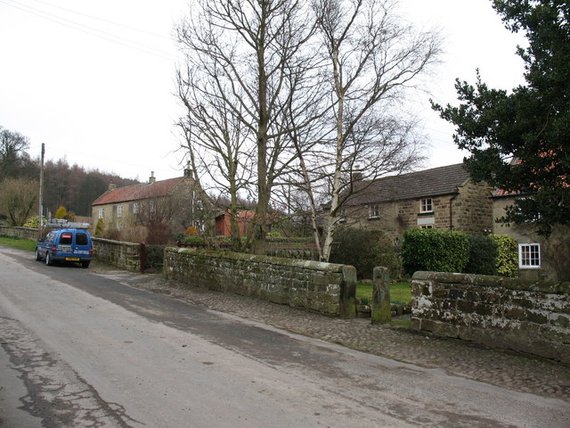
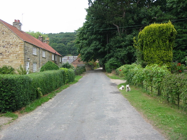
Kepwick is renowned for its tranquil and idyllic setting, surrounded by rolling hills and picturesque landscapes. The area is predominantly agricultural, with fertile farmland and open fields dominating the scenery. The village is characterized by its traditional stone-built houses and cottages, adding to its charming and rustic appeal.

Despite its small size, Kepwick boasts a rich history. It is believed to have been settled since Roman times, and evidence of this can be found in the remnants of an ancient Roman road nearby. The village also played a significant role during the Industrial Revolution, with the development of ironstone mining in the area.

Today, Kepwick is a quiet and close-knit community, with a strong sense of community spirit. It is a popular destination for those seeking a peaceful retreat from the bustling city life, offering numerous opportunities for outdoor activities such as hiking, cycling, and birdwatching.

Although lacking in amenities, the village benefits from its proximity to nearby towns and villages, where residents can find shops, schools, and other essential services. Overall, Kepwick is an enchanting rural village that offers a quintessential Yorkshire experience, showcasing the region's natural beauty and historical significance.

If you have any feedback on the listing, please let us know in the comments section below.
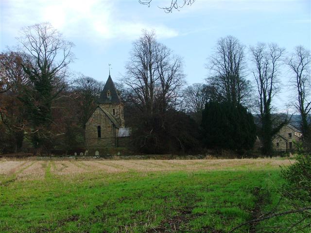
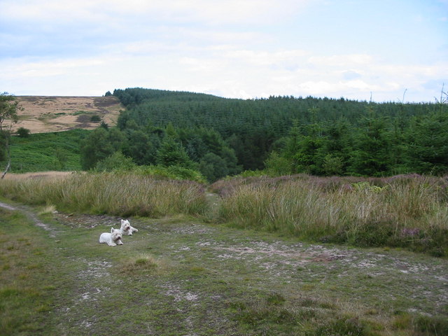
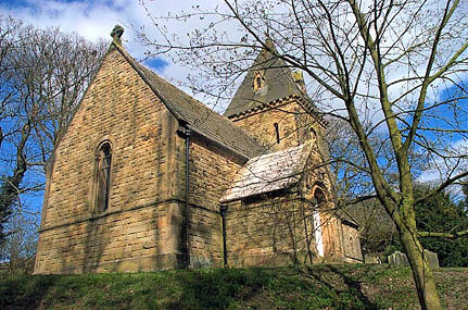
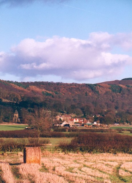
Kepwick Images

Images are sourced within 2km of 54.311985/-1.278677 or Grid Reference SE4790. Thanks to Geograph Open Source API. All images are credited.

Cowesby village Sandstone houses with pantile roofs are a feature of this tiny village nestled at the base of the Hambleton Hills.
Cowesby village
Sandstone houses with pantile roofs are a feature of this tiny village nestled at the base of the Hambleton Hills.
Kepwick, New Plantation According to the OS benchmark database there is a cutmark in this stretch of the drystone wall. Nothing was found.
Kepwick, New Plantation
According to the OS benchmark database there is a cutmark in this stretch of the drystone wall. Nothing was found.
Kepwick, Cowesby Moor The benchmark is cut into the drystone wall bordering the footpath on Cowesby Moor.
Kepwick, Cowesby Moor
The benchmark is cut into the drystone wall bordering the footpath on Cowesby Moor.
Kepwick, Cowesby Moor There is a benchmark cut into the drystone wall bordering the footpath on Cowesby Moor.
Kepwick, Cowesby Moor
There is a benchmark cut into the drystone wall bordering the footpath on Cowesby Moor.
Kepwick, Gallow Hill According to the OS benchmark database there is a cutmark on this section of the drystone wall. Nothing was found.
Kepwick, Gallow Hill
According to the OS benchmark database there is a cutmark on this section of the drystone wall. Nothing was found.
Windygill Ridge Bridleway on the north western edge of Boltby Forest
Windygill Ridge
Bridleway on the north western edge of Boltby Forest
Gallow Hill Bridleway approaching the north western edge of Boltby Forest
Gallow Hill
Bridleway approaching the north western edge of Boltby Forest
Cowesby Hall The hall had only recently changed ownership and was undergoing major renovation
Cowesby Hall
The hall had only recently changed ownership and was undergoing major renovation
The church of St. Michael and All Angels, Cowesby View from the west.
The church of St. Michael and All Angels, Cowesby
View from the west.
Gallow Hill in Boltby Forest Boltby Forest lies on the western boundary of the North York Moors National Park.  This point is marked as Gallow Hill on the modern OS map.
Gallow Hill in Boltby Forest
Boltby Forest lies on the western boundary of the North York Moors National Park. This point is marked as Gallow Hill on the modern OS map.
Cowesby, St Michael & All The Angels, another closer shot.
Across the fields to Cowesby The small village of Cowesby nestles under the western scarp of the hambleton Hills.
Across the fields to Cowesby
The small village of Cowesby nestles under the western scarp of the hambleton Hills.
Cowesby Moor The moor has been "improved" and has therefore avoided being designated as Open Access.
Cowesby Moor
The moor has been "improved" and has therefore avoided being designated as Open Access.
Looking Down Ruddings Lane From behind Home Farm.
Looking Down Ruddings Lane
From behind Home Farm.
Cowesby Moor "Improved" land so this has escaped being designated for Open Access. The unimproved sloping land to the left is Open Access, the boundary only being defined by a series of drainage ditches.  Viewed from the fence corner below Gallow Hill.
Cowesby Moor
"Improved" land so this has escaped being designated for Open Access. The unimproved sloping land to the left is Open Access, the boundary only being defined by a series of drainage ditches. Viewed from the fence corner below Gallow Hill.
Green pastures at Cowesby Looking south from Cowesby over pasture land towards the outlier of Woolmoor. Some ridge and furrow is visible in the nearest pasture, suggesting that this was once one of the village's open fields.
Green pastures at Cowesby
Looking south from Cowesby over pasture land towards the outlier of Woolmoor. Some ridge and furrow is visible in the nearest pasture, suggesting that this was once one of the village's open fields.
View up Little Moor From the tumulus on Gallow Hill. Boltby Forest on the right.
View up Little Moor
From the tumulus on Gallow Hill. Boltby Forest on the right.
Tumulus, Gallow Hill
Show me another place!

Kepwick is located at Grid Ref: SE4790 (Lat: 54.311985, Lng: -1.278677)

Division: North Riding

Administrative County: North Yorkshire

District: Hambleton

Police Authority: North Yorkshire

What 3 Words

///technical.employer.storybook. Near Thirsk, North Yorkshire

Related Wikis

Kepwick

Kepwick is a village and civil parish in the Hambleton district of North Yorkshire, England, on the North York Moors and near the A19. The population according...

Cowesby

Cowesby is a village and civil parish in the Hambleton District of North Yorkshire, England. Part of the village including The Cowesby Hall Estate is within...

Nether Silton

Nether Silton is a village and civil parish in the Hambleton District of North Yorkshire, England. It lies 6 miles (9.7 km) east of Northallerton, on...

Over Silton

Over Silton is a village and civil parish in the Hambleton district of North Yorkshire, England, about 6 miles (9.7 km) east of Northallerton and on the...

Over Silton Manor

Over Silton Manor is in the middle of the village of Over Silton in North Yorkshire, England. "The village of Over silton, 1994;39" == History == There...

Kirby Knowle

Kirby Knowle is a village and civil parish in Hambleton District of North Yorkshire, England, on the border of the North Yorkshire Moors and near Upsall...

Kirkby Fleetham with Fencote

Kirkby Fleetham with Fencote is a civil parish in the Hambleton District of North Yorkshire, England. At the 2011 census, the population was 560 which...

Leake, North Yorkshire

Leake is a hamlet and civil parish in the Hambleton district of North Yorkshire, England, about six miles north of Thirsk. The population of the parish...

Nearby Amenities

Located within 500m of 54.311985,-1.278677
Kepwick
Place: village
Wikidata: Q6393259
Wikipedia: en:Kepwick
Lat/Long: 54.3119573/-1.2805926
Stay Farm
Place: farm
Lat/Long: 54.3147173/-1.2741169
Park Farm
Place: farm
Lat/Long: 54.3121638/-1.2775931
Pasture Hill
Place: farm
Lat/Long: 54.3116255/-1.2832579
Post Box
Collection Times: Mo-Fr 16:15; Sa 09:45
Post Box Type: wall
Ref: YO7 53
Royal Cypher: VR
Royal Cypher Wikidata: Q33102356
Lat/Long: 54.3114646/-1.2818221
Information: board
Tourism: information
Lat/Long: 54.31194/-1.2798613
Defibrillator
Emergency: defibrillator
Ref: AAK69
Lat/Long: 54.3119444/-1.2798386
The data included in this document is from www.openstreetmap.org. The data is made available under ODbL.

Have you been to Kepwick?

Leave your review of Kepwick below (or comments, questions and feedback).