Pen Hill

Hill, Mountain in Yorkshire Hambleton

England

Pen Hill

Cowesby village Sandstone houses with pantile roofs are a feature of this tiny village nestled at the base of the Hambleton Hills.
Cowesby village Credit: Gordon Hatton

Pen Hill is a prominent hill located in the county of Yorkshire, England. Situated within the Yorkshire Dales National Park, it is part of the Pennine range and stands at an elevation of 573 meters (1,880 feet). The hill is nestled within a picturesque landscape, surrounded by rolling green hills, valleys, and charming villages.

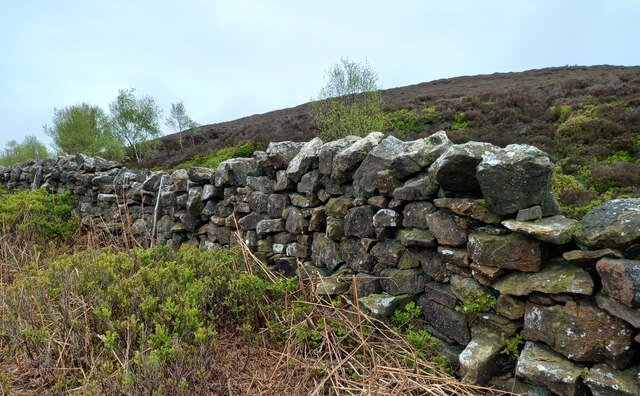
Pen Hill is renowned for its distinctive conical shape, which is a result of its geological composition. Composed primarily of limestone, the hill boasts steep slopes and rocky outcrops, making it a popular destination for hikers and climbers. Its summit offers breathtaking panoramic views of the surrounding countryside, including the nearby valleys of Wensleydale and Swaledale.

The hill is also known for its rich historical and cultural significance. It is home to numerous ancient remains, including a Bronze Age burial mound and several prehistoric settlements. These archaeological sites provide valuable insights into the region's past and attract archaeology enthusiasts.

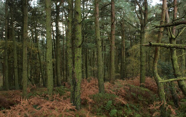
Pen Hill is a haven for wildlife, with its diverse ecosystem supporting a variety of plant and animal species. It is particularly notable for its birdlife, with species such as peregrine falcons and red grouse calling the hill home. Nature lovers can enjoy observing these creatures in their natural habitat, as well as the vibrant flora that adorns the hillside.

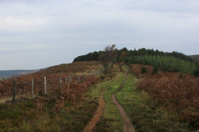
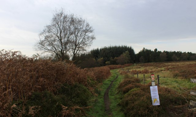
Visitors to Pen Hill can explore its many walking trails, ranging from gentle strolls to more challenging hikes. The hill offers opportunities for outdoor activities, including rock climbing and paragliding, attracting adventure seekers throughout the year. Its proximity to nearby towns and villages also provides easy access to amenities and accommodations, making it a popular destination for both locals and tourists looking to immerse themselves in the beauty of Yorkshire's countryside.

If you have any feedback on the listing, please let us know in the comments section below.
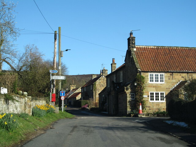
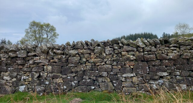
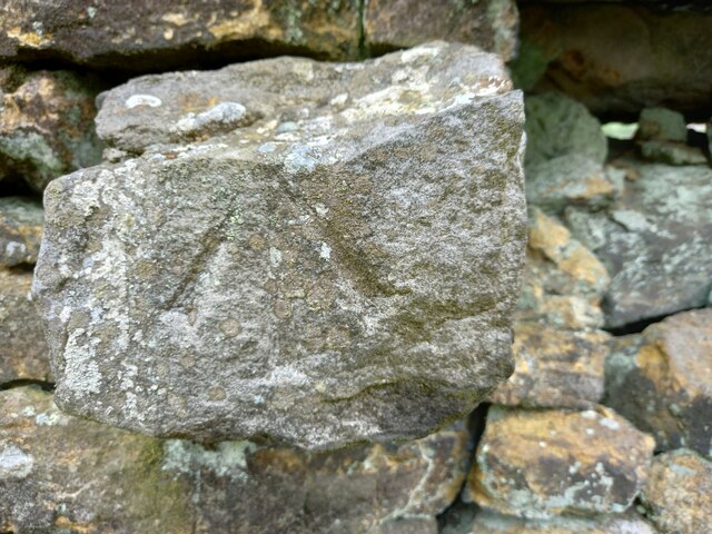
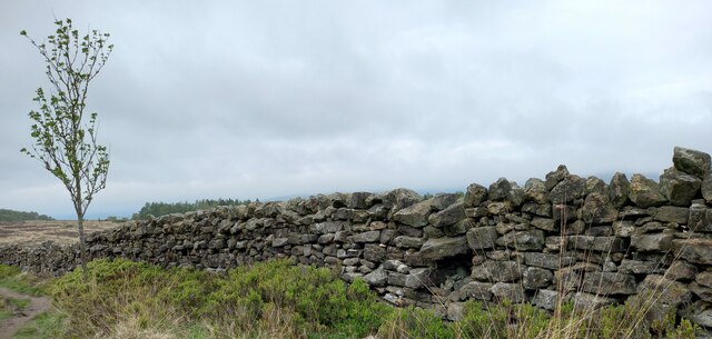
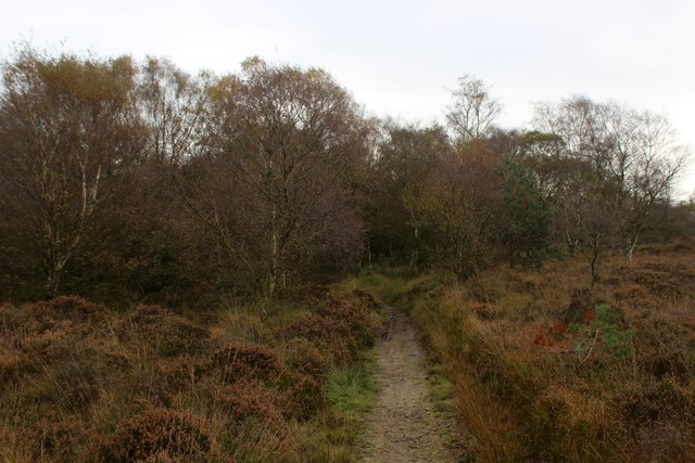
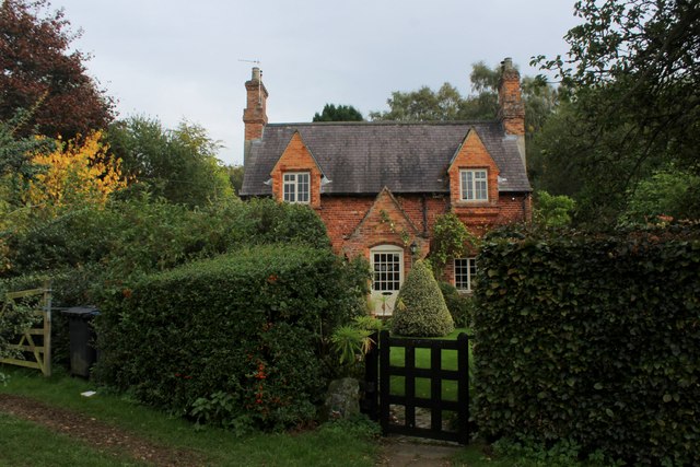
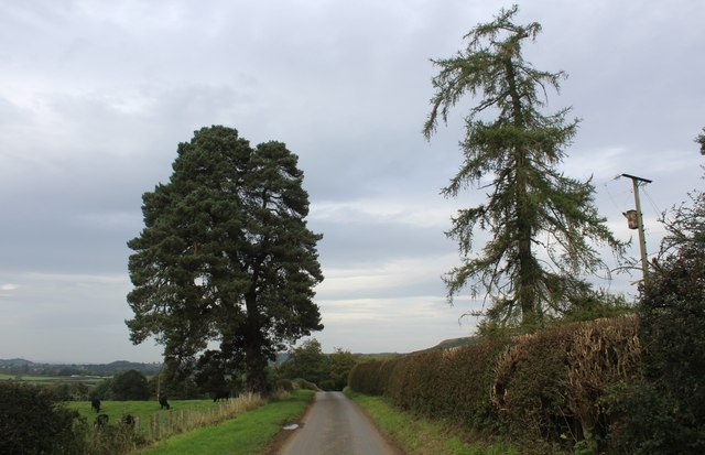
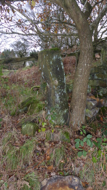
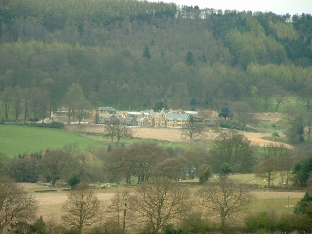
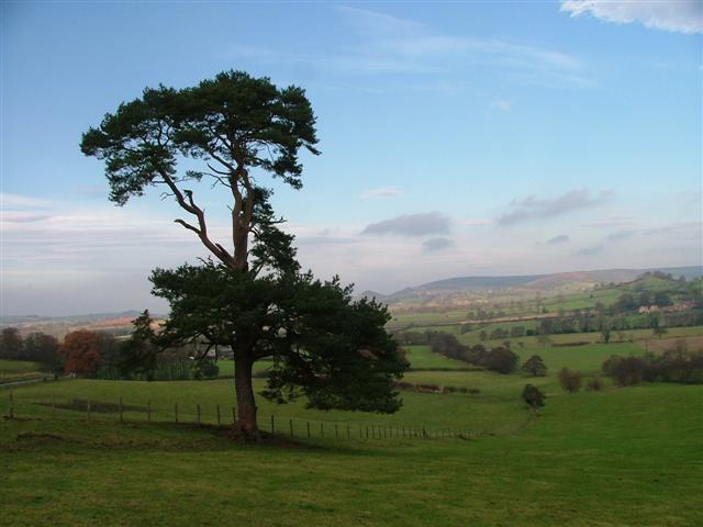
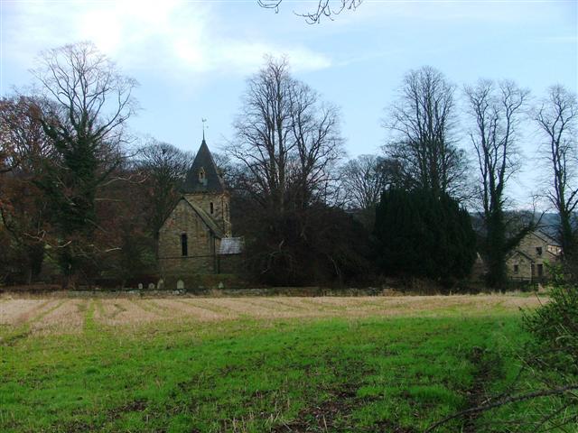
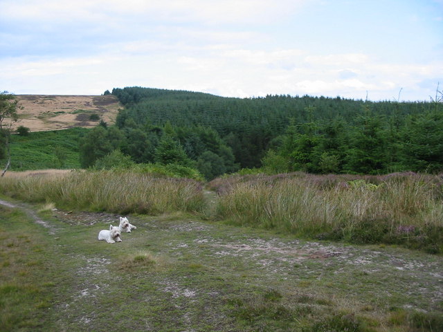
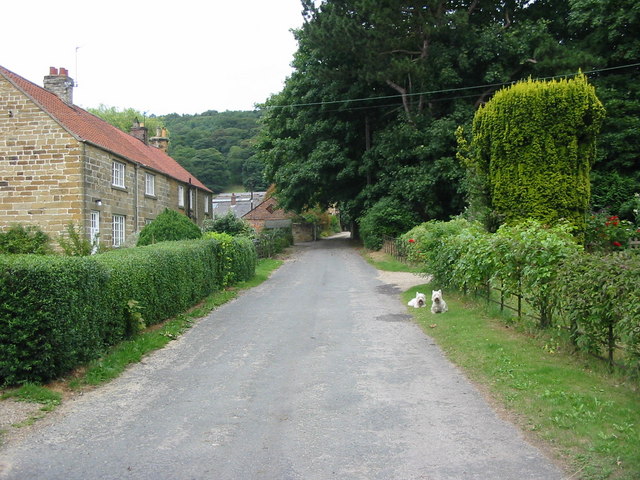
Pen Hill Images

Images are sourced within 2km of 54.307835/-1.2786869 or Grid Reference SE4790. Thanks to Geograph Open Source API. All images are credited.

Cowesby village Sandstone houses with pantile roofs are a feature of this tiny village nestled at the base of the Hambleton Hills.
Cowesby village
Sandstone houses with pantile roofs are a feature of this tiny village nestled at the base of the Hambleton Hills.
Kepwick, Boltby Forest The benchmark is cut into a stone in the drystone wall that boundaries the forest.
Kepwick, Boltby Forest
The benchmark is cut into a stone in the drystone wall that boundaries the forest.
Kepwick, Boltby Forest There is a benchmark cut into a stone in the drystone wall that boundaries the forest.
Kepwick, Boltby Forest
There is a benchmark cut into a stone in the drystone wall that boundaries the forest.
Kepwick, New Plantation According to the OS benchmark database there is a cutmark in this stretch of the drystone wall. Nothing was found.
Kepwick, New Plantation
According to the OS benchmark database there is a cutmark in this stretch of the drystone wall. Nothing was found.
Kepwick, Cowesby Moor The benchmark is cut into the drystone wall bordering the footpath on Cowesby Moor.
Kepwick, Cowesby Moor
The benchmark is cut into the drystone wall bordering the footpath on Cowesby Moor.
Kepwick, Cowesby Moor There is a benchmark cut into the drystone wall bordering the footpath on Cowesby Moor.
Kepwick, Cowesby Moor
There is a benchmark cut into the drystone wall bordering the footpath on Cowesby Moor.
Kepwick, Gallow Hill According to the OS benchmark database there is a cutmark on this section of the drystone wall. Nothing was found.
Kepwick, Gallow Hill
According to the OS benchmark database there is a cutmark on this section of the drystone wall. Nothing was found.
Windygill Ridge Bridleway on the north western edge of Boltby Forest
Windygill Ridge
Bridleway on the north western edge of Boltby Forest
Gallow Hill Bridleway approaching the north western edge of Boltby Forest
Gallow Hill
Bridleway approaching the north western edge of Boltby Forest
Boltby Forest A square almost entirely composed of trees of the conifer type
Boltby Forest
A square almost entirely composed of trees of the conifer type
Bridleway on Kirby Knowle Moor
Brickshed Cottage Isolated dwelling located at the foot of the North York Moors escarpment and below Boltby Forest.
Brickshed Cottage
Isolated dwelling located at the foot of the North York Moors escarpment and below Boltby Forest.
Ruddings Lane Section of quiet country lane between Kirby Knowle and Cowesby - outside Brickshed Cottage
Ruddings Lane
Section of quiet country lane between Kirby Knowle and Cowesby - outside Brickshed Cottage
Old Boundary Marker between Brickshed Cottage and Seta Pike Boundary Marker at the end of a drystone wall on the north side of the bridleway between Brickshed Cottage and Seta Pike. On the boundary of Kirby Knowle and Cowesby parishes. Marked as a boundary stone on old and current Ordnance Survey Maps. The stone has no inscription and could just be a gate post.

Milestone Society National ID: YN_KKCO03bm
Old Boundary Marker between Brickshed Cottage and Seta Pike
Boundary Marker at the end of a drystone wall on the north side of the bridleway between Brickshed Cottage and Seta Pike. On the boundary of Kirby Knowle and Cowesby parishes. Marked as a boundary stone on old and current Ordnance Survey Maps. The stone has no inscription and could just be a gate post. Milestone Society National ID: YN_KKCO03bm
Cowesby Hall The hall had only recently changed ownership and was undergoing major renovation
Cowesby Hall
The hall had only recently changed ownership and was undergoing major renovation
View North From the Unclassified Road At spot height 163 to be precise.
View North From the Unclassified Road
At spot height 163 to be precise.
The church of St. Michael and All Angels, Cowesby View from the west.
The church of St. Michael and All Angels, Cowesby
View from the west.
Gallow Hill in Boltby Forest Boltby Forest lies on the western boundary of the North York Moors National Park.  This point is marked as Gallow Hill on the modern OS map.
Gallow Hill in Boltby Forest
Boltby Forest lies on the western boundary of the North York Moors National Park. This point is marked as Gallow Hill on the modern OS map.
Show me another place!

Pen Hill is located at Grid Ref: SE4790 (Lat: 54.307835, Lng: -1.2786869)

Division: North Riding

Administrative County: North Yorkshire

District: Hambleton

Police Authority: North Yorkshire

What 3 Words

///charge.reprints.friday. Near Thirsk, North Yorkshire

Related Wikis

Kepwick

Kepwick is a village and civil parish in the Hambleton district of North Yorkshire, England, on the North York Moors and near the A19. The population according...

Cowesby

Cowesby is a village and civil parish in the Hambleton District of North Yorkshire, England. Part of the village including The Cowesby Hall Estate is within...

Nether Silton

Nether Silton is a village and civil parish in the Hambleton District of North Yorkshire, England. It lies 6 miles (9.7 km) east of Northallerton, on...

Kirby Knowle

Kirby Knowle is a village and civil parish in Hambleton District of North Yorkshire, England, on the border of the North Yorkshire Moors and near Upsall...

Nearby Amenities

Located within 500m of 54.307835,-1.2786869
Kepwick
Place: village
Wikidata: Q6393259
Wikipedia: en:Kepwick
Lat/Long: 54.3119573/-1.2805926
Pen Hill
Natural: peak
Lat/Long: 54.307417/-1.2813946
Park Farm
Place: farm
Lat/Long: 54.3121638/-1.2775931
Post Box
Collection Times: Mo-Fr 16:15; Sa 09:45
Post Box Type: wall
Ref: YO7 53
Royal Cypher: VR
Royal Cypher Wikidata: Q33102356
Lat/Long: 54.3114646/-1.2818221
Information: board
Tourism: information
Lat/Long: 54.31194/-1.2798613
Defibrillator
Emergency: defibrillator
Ref: AAK69
Lat/Long: 54.3119444/-1.2798386
The data included in this document is from www.openstreetmap.org. The data is made available under ODbL.

Have you been to Pen Hill?

Leave your review of Pen Hill below (or comments, questions and feedback).