Butcher's Wood

Wood, Forest in Yorkshire Hambleton

England

Butcher's Wood

Cowesby village Sandstone houses with pantile roofs are a feature of this tiny village nestled at the base of the Hambleton Hills.
Cowesby village Credit: Gordon Hatton

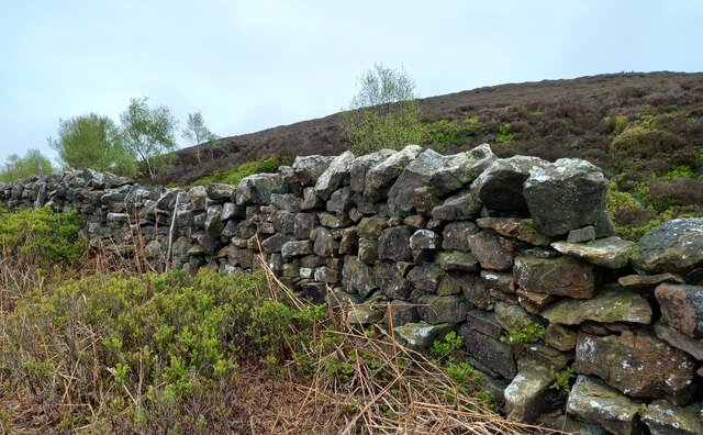
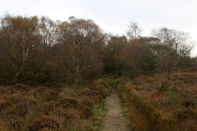
Butcher's Wood is a picturesque forest located in Yorkshire, England. Situated near the town of York, it covers an area of approximately 50 acres and is renowned for its natural beauty and diverse wildlife.

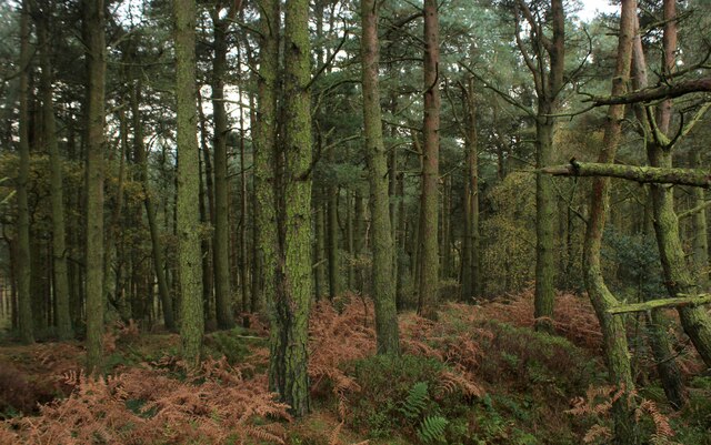
The wood is predominantly made up of ancient oak and beech trees, creating a dense and lush canopy that provides a peaceful and serene atmosphere. The towering trees are a sight to behold, especially during the autumn months when their leaves turn vibrant shades of red, orange, and gold.

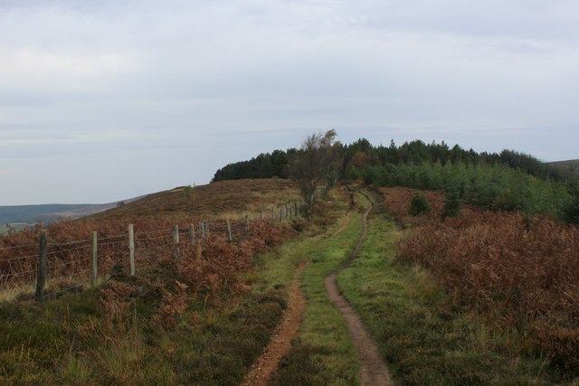
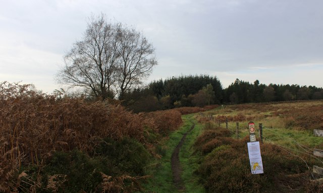
Walking through Butcher's Wood, visitors can enjoy a network of well-maintained trails that wind their way through the forest. These paths provide an opportunity to explore the woodland at leisure and discover its hidden treasures, such as enchanting clearings and small streams that meander through the trees.

The wood is home to a wide variety of wildlife, including deer, foxes, badgers, and a multitude of bird species. Birdwatchers will be delighted by the chance to spot kingfishers, woodpeckers, and various songbirds within the peaceful sanctuary of the forest.

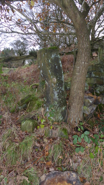
Butcher's Wood also holds historical significance. It is believed to have been a hunting ground for the local nobility during medieval times, with remnants of ancient hunting lodges still visible in certain areas.

Overall, Butcher's Wood offers a tranquil escape from the hustle and bustle of everyday life, allowing visitors to immerse themselves in the natural beauty and rich history of Yorkshire's woodlands.

If you have any feedback on the listing, please let us know in the comments section below.

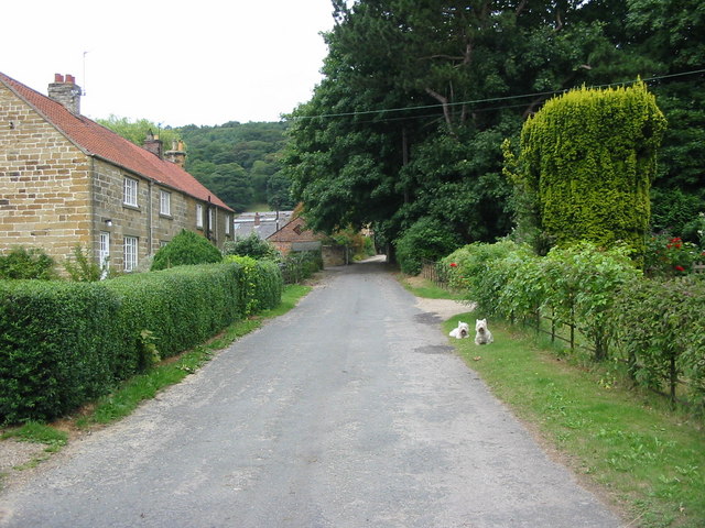
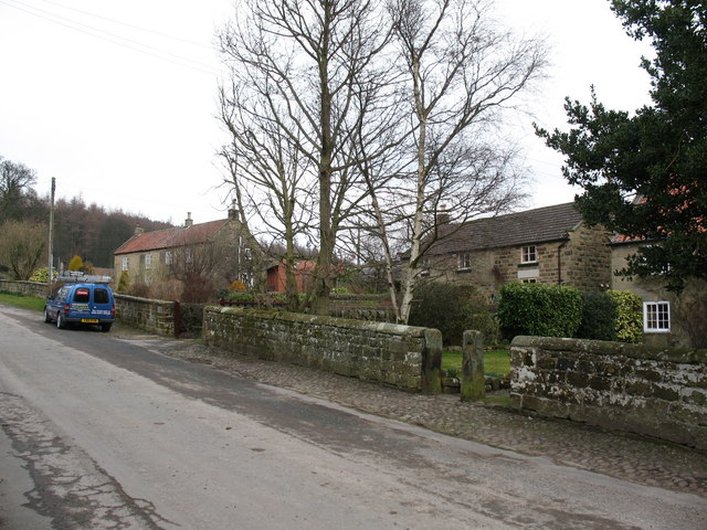
Butcher's Wood Images

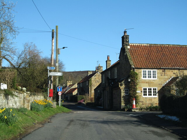
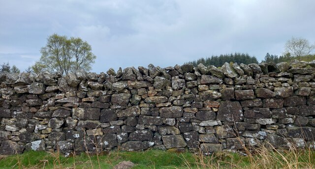
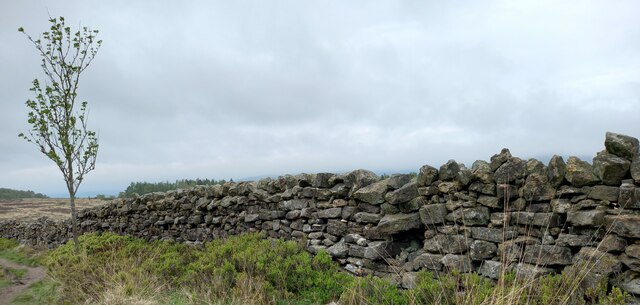
Images are sourced within 2km of 54.305922/-1.2685156 or Grid Reference SE4790. Thanks to Geograph Open Source API. All images are credited.

Cowesby village Sandstone houses with pantile roofs are a feature of this tiny village nestled at the base of the Hambleton Hills.
Cowesby village
Sandstone houses with pantile roofs are a feature of this tiny village nestled at the base of the Hambleton Hills.
Kepwick, Boltby Forest The benchmark is cut into a stone in the drystone wall that boundaries the forest.
Kepwick, Boltby Forest
The benchmark is cut into a stone in the drystone wall that boundaries the forest.
Kepwick, Boltby Forest There is a benchmark cut into a stone in the drystone wall that boundaries the forest.
Kepwick, Boltby Forest
There is a benchmark cut into a stone in the drystone wall that boundaries the forest.
Kepwick, New Plantation According to the OS benchmark database there is a cutmark in this stretch of the drystone wall. Nothing was found.
Kepwick, New Plantation
According to the OS benchmark database there is a cutmark in this stretch of the drystone wall. Nothing was found.
Kepwick, Cowesby Moor The benchmark is cut into the drystone wall bordering the footpath on Cowesby Moor.
Kepwick, Cowesby Moor
The benchmark is cut into the drystone wall bordering the footpath on Cowesby Moor.
Kepwick, Cowesby Moor There is a benchmark cut into the drystone wall bordering the footpath on Cowesby Moor.
Kepwick, Cowesby Moor
There is a benchmark cut into the drystone wall bordering the footpath on Cowesby Moor.
Kepwick, Gallow Hill According to the OS benchmark database there is a cutmark on this section of the drystone wall. Nothing was found.
Kepwick, Gallow Hill
According to the OS benchmark database there is a cutmark on this section of the drystone wall. Nothing was found.
Fig Rolls Unusual fungi that look like Fig Rolls in Boltby Forest.
Fig Rolls
Unusual fungi that look like Fig Rolls in Boltby Forest.
Windygill Ridge Bridleway on the north western edge of Boltby Forest
Windygill Ridge
Bridleway on the north western edge of Boltby Forest
Gallow Hill Bridleway approaching the north western edge of Boltby Forest
Gallow Hill
Bridleway approaching the north western edge of Boltby Forest
Boltby Forest A square almost entirely composed of trees of the conifer type
Boltby Forest
A square almost entirely composed of trees of the conifer type
Bridleway on Kirby Knowle Moor
Brickshed Cottage Isolated dwelling located at the foot of the North York Moors escarpment and below Boltby Forest.
Brickshed Cottage
Isolated dwelling located at the foot of the North York Moors escarpment and below Boltby Forest.
Ruddings Lane Section of quiet country lane between Kirby Knowle and Cowesby - outside Brickshed Cottage
Ruddings Lane
Section of quiet country lane between Kirby Knowle and Cowesby - outside Brickshed Cottage
Track junction Boltby Forest Tracks in the forest used more by mountain bikers than walkers.
Track junction Boltby Forest
Tracks in the forest used more by mountain bikers than walkers.
Miles of forest The view westwards across Boltby Forest towards the distant smudge of the Pennines on the horizon.
Miles of forest
The view westwards across Boltby Forest towards the distant smudge of the Pennines on the horizon.
Footpath under threat Earlier submissions have commented on the closeness of trees to Footpath Boltby 10.15/048/1.  This view taken at the middle section of the path shows that tree growth will soon cause problems for walkers.
Footpath under threat
Earlier submissions have commented on the closeness of trees to Footpath Boltby 10.15/048/1. This view taken at the middle section of the path shows that tree growth will soon cause problems for walkers.
Old Boundary Marker between Brickshed Cottage and Seta Pike Boundary Marker at the end of a drystone wall on the north side of the bridleway between Brickshed Cottage and Seta Pike. On the boundary of Kirby Knowle and Cowesby parishes. Marked as a boundary stone on old and current Ordnance Survey Maps. The stone has no inscription and could just be a gate post.

Milestone Society National ID: YN_KKCO03bm
Old Boundary Marker between Brickshed Cottage and Seta Pike
Boundary Marker at the end of a drystone wall on the north side of the bridleway between Brickshed Cottage and Seta Pike. On the boundary of Kirby Knowle and Cowesby parishes. Marked as a boundary stone on old and current Ordnance Survey Maps. The stone has no inscription and could just be a gate post. Milestone Society National ID: YN_KKCO03bm
Show me another place!

Butcher's Wood is located at Grid Ref: SE4790 (Lat: 54.305922, Lng: -1.2685156)

Division: North Riding

Administrative County: North Yorkshire

District: Hambleton

Police Authority: North Yorkshire

What 3 Words

///stiff.shorten.ripen. Near Thirsk, North Yorkshire

Related Wikis

Kepwick

Kepwick is a village and civil parish in the Hambleton district of North Yorkshire, England, on the North York Moors and near the A19. The population according...

Cowesby

Cowesby is a village and civil parish in the Hambleton District of North Yorkshire, England. Part of the village including The Cowesby Hall Estate is within...

Nether Silton

Nether Silton is a village and civil parish in the Hambleton District of North Yorkshire, England. It lies 6 miles (9.7 km) east of Northallerton, on...

Kirby Knowle

Kirby Knowle is a village and civil parish in Hambleton District of North Yorkshire, England, on the border of the North Yorkshire Moors and near Upsall...

Over Silton

Over Silton is a village and civil parish in the Hambleton district of North Yorkshire, England, about 6 miles (9.7 km) east of Northallerton and on the...

Holy Trinity Church, Boltby

Holy Trinity Church, Boltby is a parish church in the Church of England: 81  in Boltby. == History == The first chapel was founded in 1409 and was rebuilt...

Over Silton Manor

Over Silton Manor is in the middle of the village of Over Silton in North Yorkshire, England. "The village of Over silton, 1994;39" == History == There...

Boltby

Boltby is a village and civil parish in the Hambleton District of North Yorkshire, England. It is on the edge of the North York Moors National Park at...

Nearby Amenities

Located within 500m of 54.305922,-1.2685156
Black Hill
Natural: peak
Lat/Long: 54.3043183/-1.2686058
The data included in this document is from www.openstreetmap.org. The data is made available under ODbL.

Have you been to Butcher's Wood?

Leave your review of Butcher's Wood below (or comments, questions and feedback).