Black Hill

Hill, Mountain in Yorkshire Hambleton

England

Black Hill

Cowesby village Sandstone houses with pantile roofs are a feature of this tiny village nestled at the base of the Hambleton Hills.
Cowesby village Credit: Gordon Hatton

Black Hill is a prominent hill located in the county of Yorkshire, England. Standing at an elevation of 582 meters (1,909 feet), it forms part of the Pennine Range and is situated within the Peak District National Park. Offering breathtaking views of the surrounding countryside, Black Hill attracts both local residents and tourists alike.

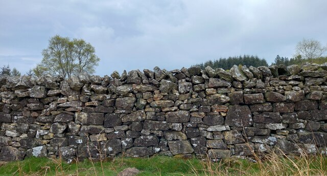
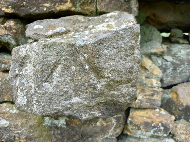
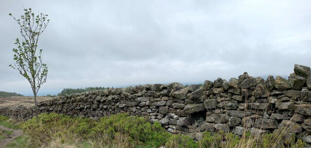
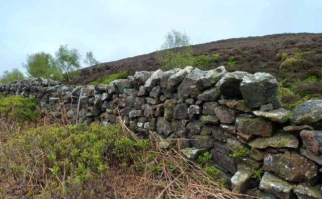
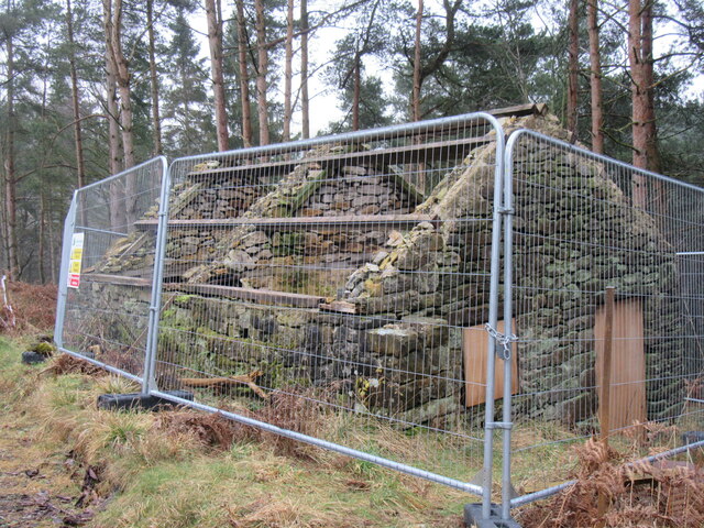
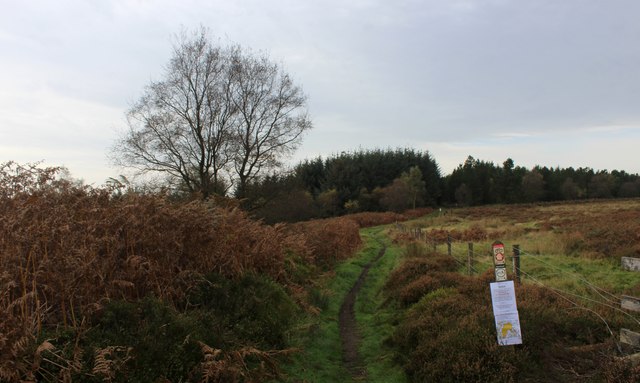
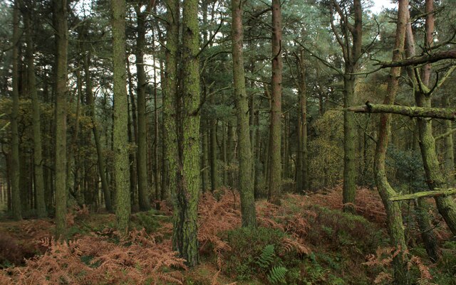
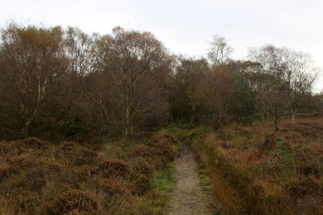
The hill is characterized by its rugged and wild terrain, with a mixture of rocky outcrops and heather-covered moorland. It is renowned for its unique geological features, including the presence of gritstone and peat bogs. The summit of Black Hill is marked by a trig point, providing a popular spot for hikers and nature enthusiasts to take in the panoramic vistas.

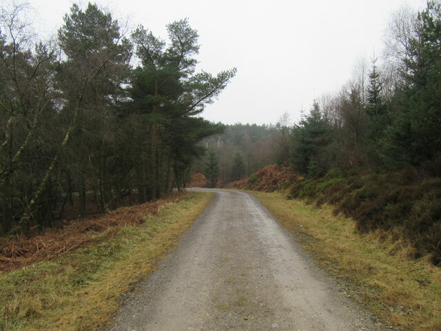
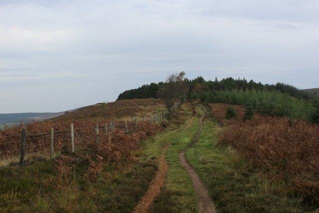
The hill is intersected by several footpaths and trails, allowing visitors to explore its diverse landscape. One of the most popular routes is the Pennine Way, a long-distance footpath that stretches for 268 miles from Edale to Kirk Yetholm. Black Hill forms a notable section of this trail, attracting walkers seeking to challenge themselves and experience the beauty of the area.

The surrounding area provides a habitat for various wildlife species, including grouse, curlews, and mountain hares. It is also home to a variety of plant species adapted to the harsh moorland environment. As such, Black Hill is a designated Site of Special Scientific Interest (SSSI), further highlighting its ecological significance.

In summary, Black Hill in Yorkshire is a picturesque and ecologically important hill within the Peak District National Park. Its dramatic landscape, diverse wildlife, and stunning views make it a popular destination for outdoor enthusiasts and nature lovers.

If you have any feedback on the listing, please let us know in the comments section below.
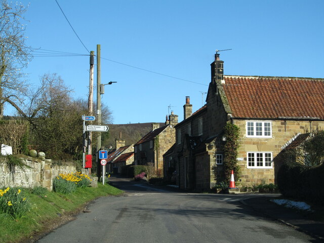
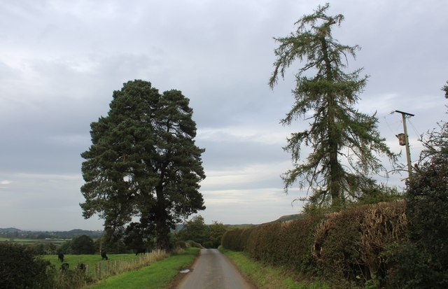
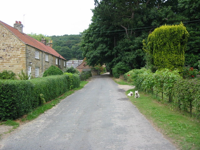
Black Hill Images

Images are sourced within 2km of 54.304551/-1.2691854 or Grid Reference SE4790. Thanks to Geograph Open Source API. All images are credited.

Cowesby village Sandstone houses with pantile roofs are a feature of this tiny village nestled at the base of the Hambleton Hills.
Cowesby village
Sandstone houses with pantile roofs are a feature of this tiny village nestled at the base of the Hambleton Hills.
Kepwick, Boltby Forest The benchmark is cut into a stone in the drystone wall that boundaries the forest.
Kepwick, Boltby Forest
The benchmark is cut into a stone in the drystone wall that boundaries the forest.
Kepwick, Boltby Forest There is a benchmark cut into a stone in the drystone wall that boundaries the forest.
Kepwick, Boltby Forest
There is a benchmark cut into a stone in the drystone wall that boundaries the forest.
Kepwick, New Plantation According to the OS benchmark database there is a cutmark in this stretch of the drystone wall. Nothing was found.
Kepwick, New Plantation
According to the OS benchmark database there is a cutmark in this stretch of the drystone wall. Nothing was found.
Kepwick, Cowesby Moor The benchmark is cut into the drystone wall bordering the footpath on Cowesby Moor.
Kepwick, Cowesby Moor
The benchmark is cut into the drystone wall bordering the footpath on Cowesby Moor.
Kepwick, Cowesby Moor There is a benchmark cut into the drystone wall bordering the footpath on Cowesby Moor.
Kepwick, Cowesby Moor
There is a benchmark cut into the drystone wall bordering the footpath on Cowesby Moor.
Kepwick, Gallow Hill According to the OS benchmark database there is a cutmark on this section of the drystone wall. Nothing was found.
Kepwick, Gallow Hill
According to the OS benchmark database there is a cutmark on this section of the drystone wall. Nothing was found.
Fig Rolls Unusual fungi that look like Fig Rolls in Boltby Forest.
Fig Rolls
Unusual fungi that look like Fig Rolls in Boltby Forest.
Boltby Forest Looking south.
Boltby Forest
Looking south.
Ruin in Boltby Forest A ruined building in Boltby Forest.
Ruin in Boltby Forest
A ruined building in Boltby Forest.
Track in Boltby Forest A gravel track in Boltby Forest.
Track in Boltby Forest
A gravel track in Boltby Forest.
Windygill Ridge Bridleway on the north western edge of Boltby Forest
Windygill Ridge
Bridleway on the north western edge of Boltby Forest
Gallow Hill Bridleway approaching the north western edge of Boltby Forest
Gallow Hill
Bridleway approaching the north western edge of Boltby Forest
Boltby Forest A square almost entirely composed of trees of the conifer type
Boltby Forest
A square almost entirely composed of trees of the conifer type
Bridleway on Kirby Knowle Moor
Brickshed Cottage Isolated dwelling located at the foot of the North York Moors escarpment and below Boltby Forest.
Brickshed Cottage
Isolated dwelling located at the foot of the North York Moors escarpment and below Boltby Forest.
Ruddings Lane Section of quiet country lane between Kirby Knowle and Cowesby - outside Brickshed Cottage
Ruddings Lane
Section of quiet country lane between Kirby Knowle and Cowesby - outside Brickshed Cottage
Track junction Boltby Forest Tracks in the forest used more by mountain bikers than walkers.
Track junction Boltby Forest
Tracks in the forest used more by mountain bikers than walkers.
Show me another place!

Black Hill is located at Grid Ref: SE4790 (Lat: 54.304551, Lng: -1.2691854)

Division: North Riding

Administrative County: North Yorkshire

District: Hambleton

Police Authority: North Yorkshire

What 3 Words

///cupcake.snacking.mission. Near Thirsk, North Yorkshire

Related Wikis

Kepwick

Kepwick is a village and civil parish in the Hambleton district of North Yorkshire, England, on the North York Moors and near the A19. The population according...

Cowesby

Cowesby is a village and civil parish in the Hambleton District of North Yorkshire, England. Part of the village including The Cowesby Hall Estate is within...

Kirby Knowle

Kirby Knowle is a village and civil parish in Hambleton District of North Yorkshire, England, on the border of the North Yorkshire Moors and near Upsall...

Nether Silton

Nether Silton is a village and civil parish in the Hambleton District of North Yorkshire, England. It lies 6 miles (9.7 km) east of Northallerton, on...

Nearby Amenities

Located within 500m of 54.304551,-1.2691854
Black Hill
Natural: peak
Lat/Long: 54.3043183/-1.2686058
The data included in this document is from www.openstreetmap.org. The data is made available under ODbL.

Have you been to Black Hill?

Leave your review of Black Hill below (or comments, questions and feedback).