Hall Plantation
Wood, Forest in Yorkshire Hambleton
England
Hall Plantation
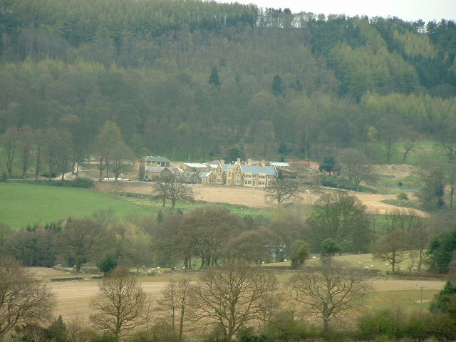
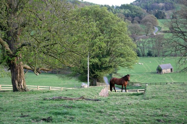
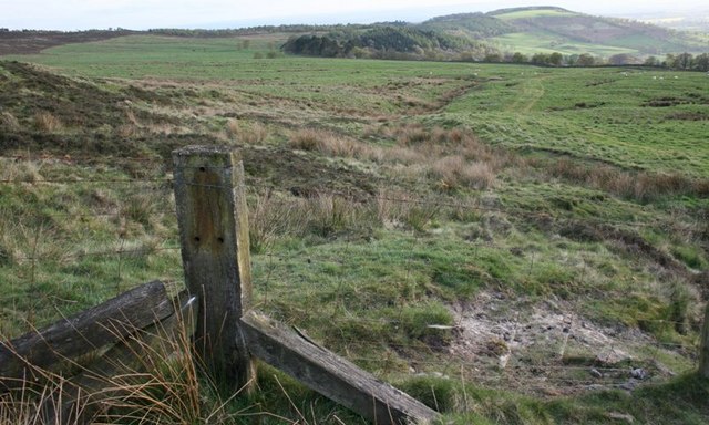
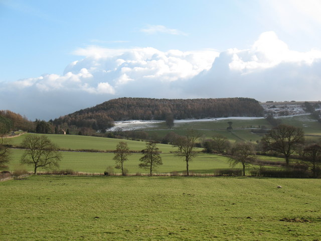
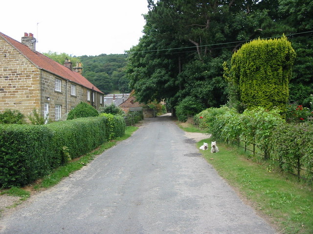
Hall Plantation is a picturesque woodland located in the county of Yorkshire, England. Situated in the heart of the region, the plantation covers a vast area of approximately 500 acres, making it one of the largest woodlands in the area. The plantation is known for its dense and diverse forest, providing a natural habitat for a wide range of flora and fauna.
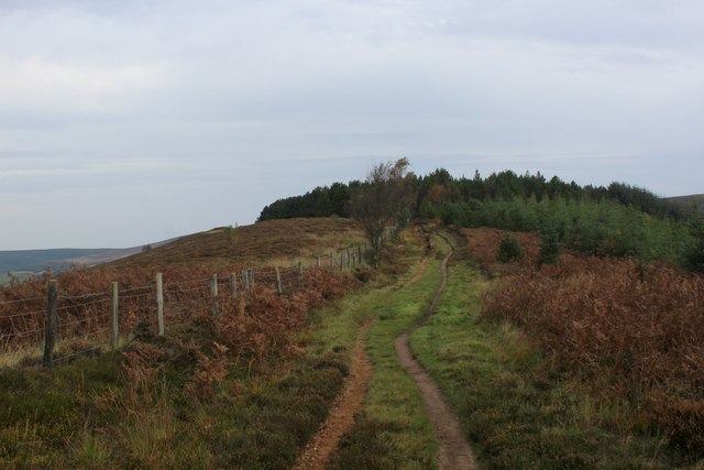
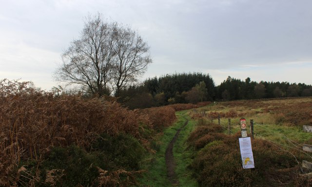
The woodland is primarily composed of native tree species such as oak, beech, and birch, creating a majestic canopy that offers shade and shelter to the forest floor. Within the plantation, there are several walking trails that wind through the woods, allowing visitors to explore and immerse themselves in the tranquility of nature. These trails are well-maintained and suitable for all levels of fitness, offering a unique opportunity to witness the beauty of the woodland up close.
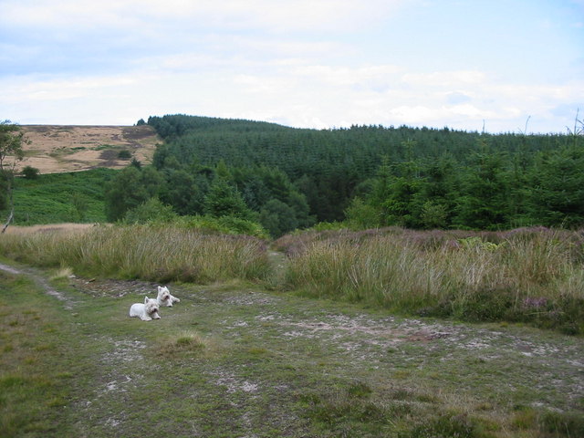
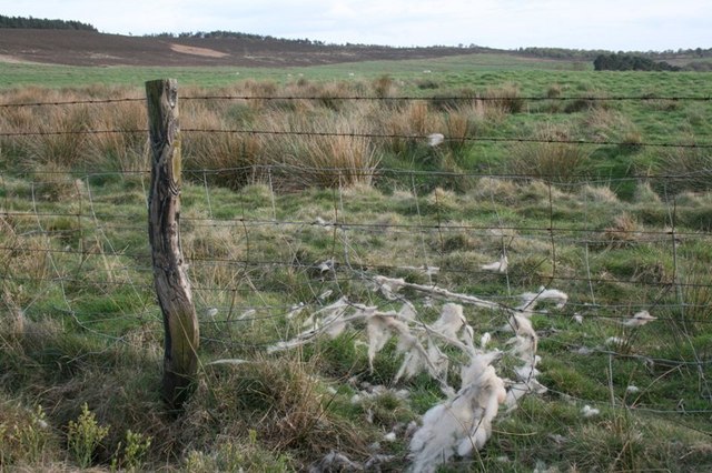
Hall Plantation is also home to a variety of wildlife, including deer, foxes, and numerous bird species. Birdwatchers can spot owls, woodpeckers, and many other feathered inhabitants in their natural habitat. The plantation is a popular destination for nature enthusiasts, photographers, and families looking to spend a day surrounded by nature's splendor.
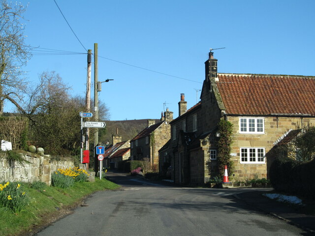
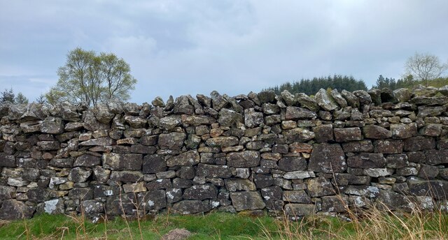
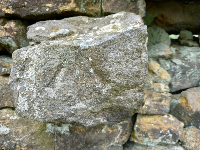
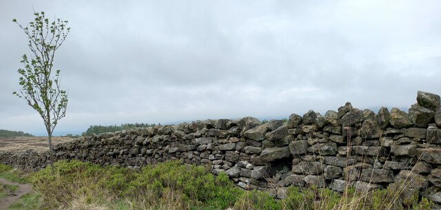
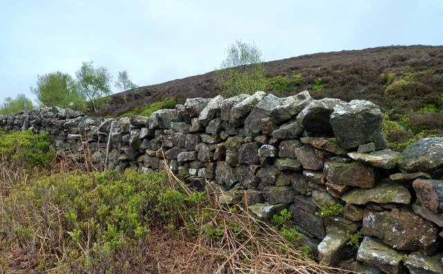
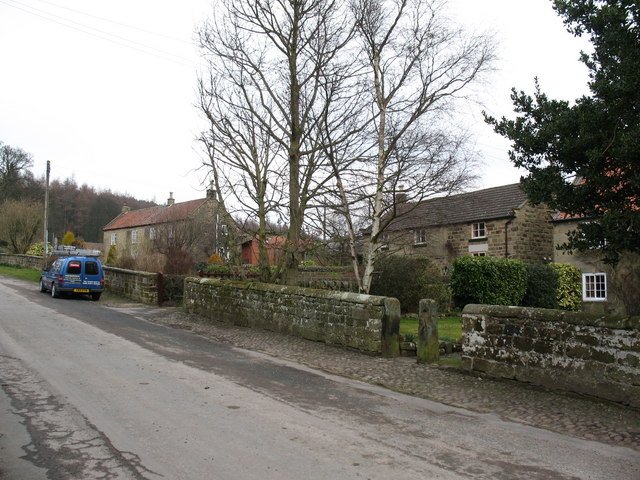
In addition to its natural beauty, Hall Plantation has historical significance as well. The site has been managed by the local community for generations, with evidence of human settlement dating back centuries. Ruins of old buildings and stone walls can be found scattered throughout the woodland, providing a glimpse into its rich past.
Overall, Hall Plantation in Yorkshire offers a captivating blend of natural beauty, wildlife, and historical charm, making it a must-visit destination for those seeking a peaceful retreat in the heart of the English countryside.
If you have any feedback on the listing, please let us know in the comments section below.
Hall Plantation Images
Images are sourced within 2km of 54.312177/-1.2655458 or Grid Reference SE4790. Thanks to Geograph Open Source API. All images are credited.


Hall Plantation is located at Grid Ref: SE4790 (Lat: 54.312177, Lng: -1.2655458)
Division: North Riding
Administrative County: North Yorkshire
District: Hambleton
Police Authority: North Yorkshire
What 3 Words
///cheer.alive.committed. Near Thirsk, North Yorkshire
Nearby Locations
Related Wikis

Kepwick
Kepwick is a village and civil parish in the Hambleton district of North Yorkshire, England, on the North York Moors and near the A19. The population according...

Cowesby
Cowesby is a village and civil parish in the Hambleton District of North Yorkshire, England. Part of the village including The Cowesby Hall Estate is within...

Nether Silton
Nether Silton is a village and civil parish in the Hambleton District of North Yorkshire, England. It lies 6 miles (9.7 km) east of Northallerton, on...
Over Silton
Over Silton is a village and civil parish in the Hambleton district of North Yorkshire, England, about 6 miles (9.7 km) east of Northallerton and on the...
Over Silton Manor
Over Silton Manor is in the middle of the village of Over Silton in North Yorkshire, England. "The village of Over silton, 1994;39" == History == There...
Kirby Knowle
Kirby Knowle is a village and civil parish in Hambleton District of North Yorkshire, England, on the border of the North Yorkshire Moors and near Upsall...

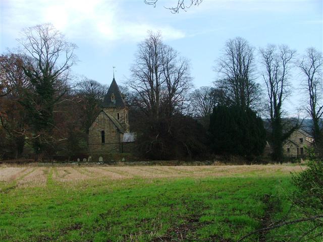
Holy Trinity Church, Boltby
Holy Trinity Church, Boltby is a parish church in the Church of England: 81 in Boltby. == History == The first chapel was founded in 1409 and was rebuilt...

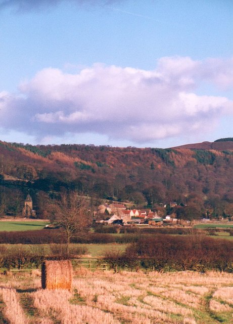
Boltby
Boltby is a village and civil parish in the Hambleton District of North Yorkshire, England. It is on the edge of the North York Moors National Park at...
Nearby Amenities
Located within 500m of 54.312177,-1.2655458Have you been to Hall Plantation?
Leave your review of Hall Plantation below (or comments, questions and feedback).