Big Flat Plantation
Wood, Forest in Yorkshire Hambleton
England
Big Flat Plantation
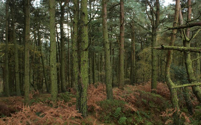
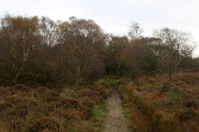
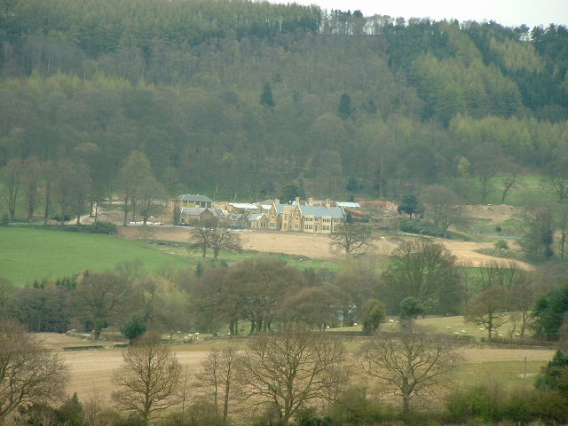
Big Flat Plantation is a picturesque woodland located in Yorkshire, England. Situated in the heart of the county, this sprawling forest covers an area of approximately 500 acres, making it one of the largest woodlands in the region. The plantation is known for its dense and diverse tree canopy, which includes a variety of species such as oak, beech, ash, and pine.
The woodland is a haven for wildlife, providing a rich and diverse habitat for many species. Visitors to Big Flat Plantation can expect to spot an array of creatures, including deer, foxes, badgers, and a wide variety of bird species. The plantation is particularly popular among birdwatchers, who flock to the area to catch glimpses of rare and elusive species.
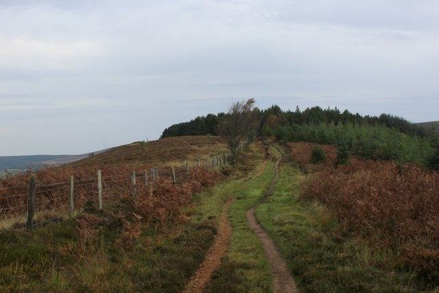
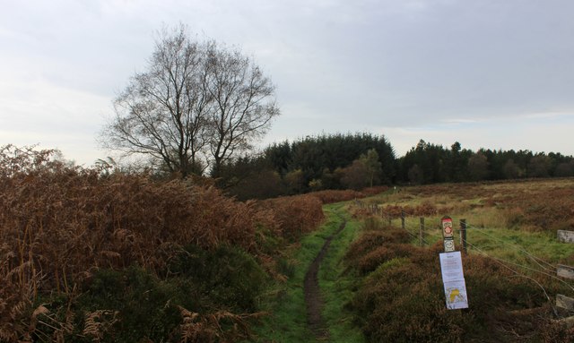
In addition to its natural beauty, Big Flat Plantation offers a range of recreational activities for visitors. There are several well-maintained walking trails that wind through the woodland, allowing visitors to explore its many hidden gems. The plantation also offers designated picnic areas, where visitors can relax and soak in the tranquil atmosphere.
Big Flat Plantation is managed by a dedicated team of foresters who work tirelessly to maintain the woodland's health and biodiversity. They regularly carry out tree planting projects to ensure the continued growth of the forest and engage in sustainable logging practices to balance conservation with the needs of the local community.
Overall, Big Flat Plantation is a stunning natural gem in the heart of Yorkshire, offering visitors a chance to immerse themselves in the beauty of nature while enjoying a range of recreational activities.
If you have any feedback on the listing, please let us know in the comments section below.
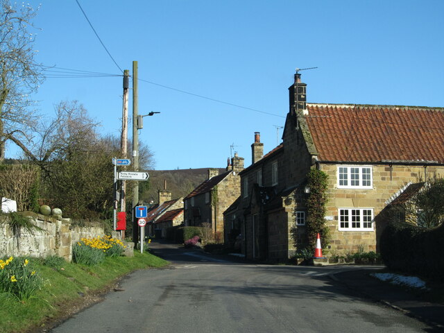
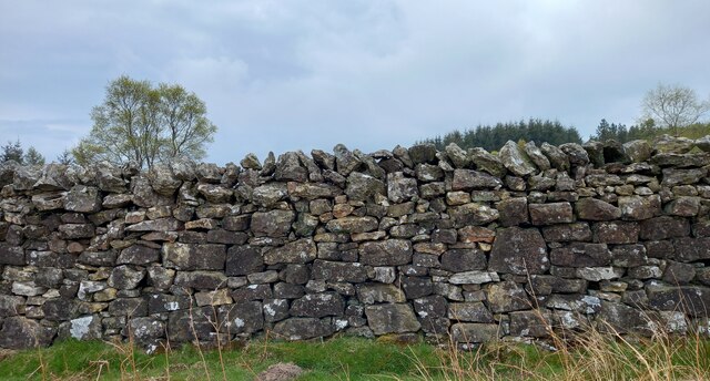
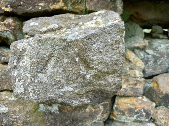
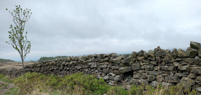
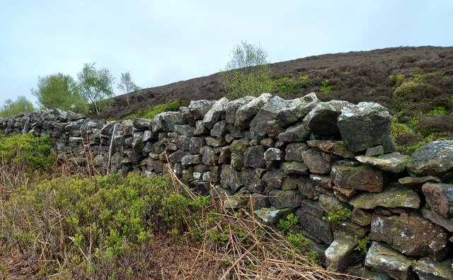
Big Flat Plantation Images
Images are sourced within 2km of 54.307875/-1.2704483 or Grid Reference SE4790. Thanks to Geograph Open Source API. All images are credited.


Big Flat Plantation is located at Grid Ref: SE4790 (Lat: 54.307875, Lng: -1.2704483)
Division: North Riding
Administrative County: North Yorkshire
District: Hambleton
Police Authority: North Yorkshire
What 3 Words
///teacher.carry.leathers. Near Thirsk, North Yorkshire
Nearby Locations
Related Wikis

Kepwick
Kepwick is a village and civil parish in the Hambleton district of North Yorkshire, England, on the North York Moors and near the A19. The population according...

Cowesby
Cowesby is a village and civil parish in the Hambleton District of North Yorkshire, England. Part of the village including The Cowesby Hall Estate is within...

Nether Silton
Nether Silton is a village and civil parish in the Hambleton District of North Yorkshire, England. It lies 6 miles (9.7 km) east of Northallerton, on...
Kirby Knowle
Kirby Knowle is a village and civil parish in Hambleton District of North Yorkshire, England, on the border of the North Yorkshire Moors and near Upsall...
Over Silton
Over Silton is a village and civil parish in the Hambleton district of North Yorkshire, England, about 6 miles (9.7 km) east of Northallerton and on the...
Over Silton Manor
Over Silton Manor is in the middle of the village of Over Silton in North Yorkshire, England. "The village of Over silton, 1994;39" == History == There...

Upsall Castle
Upsall Castle is a fourteenth-century ruin, park and manor house in Upsall, in the Hambleton district of North Yorkshire, England. == History == Some records...

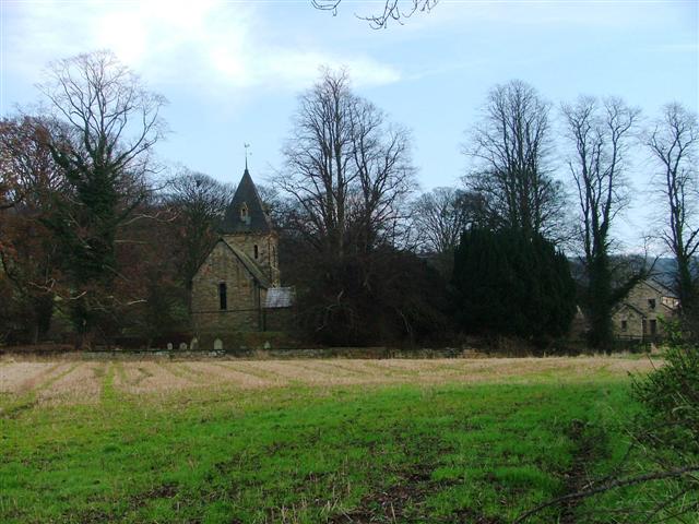
Holy Trinity Church, Boltby
Holy Trinity Church, Boltby is a parish church in the Church of England: 81 in Boltby. == History == The first chapel was founded in 1409 and was rebuilt...
Nearby Amenities
Located within 500m of 54.307875,-1.2704483Have you been to Big Flat Plantation?
Leave your review of Big Flat Plantation below (or comments, questions and feedback).