Bottom Wood

Wood, Forest in Yorkshire Hambleton

England

Bottom Wood

Track to the house at Pale Dike
Track to the house at Pale Dike Credit: Gordon Brown

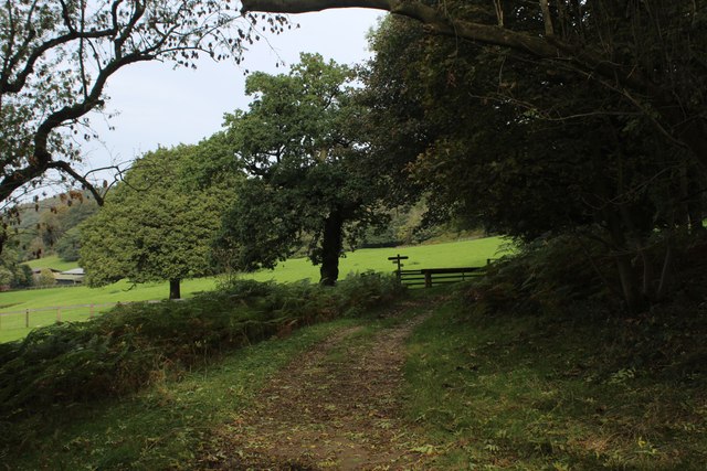
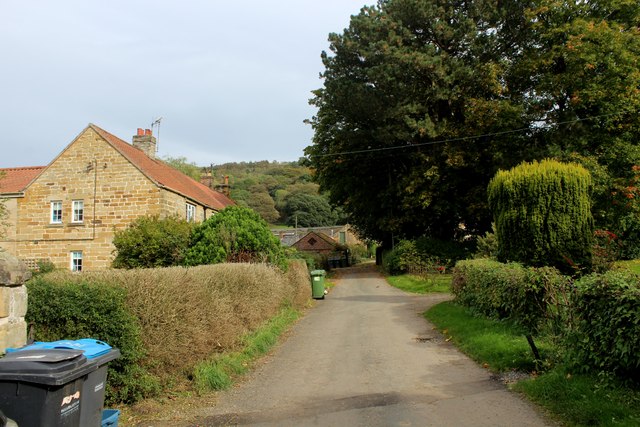
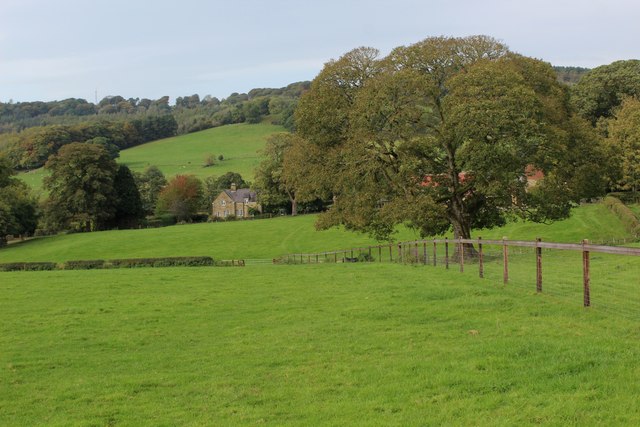
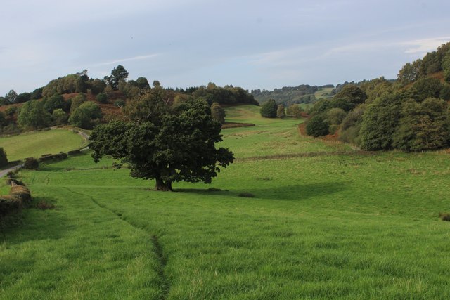
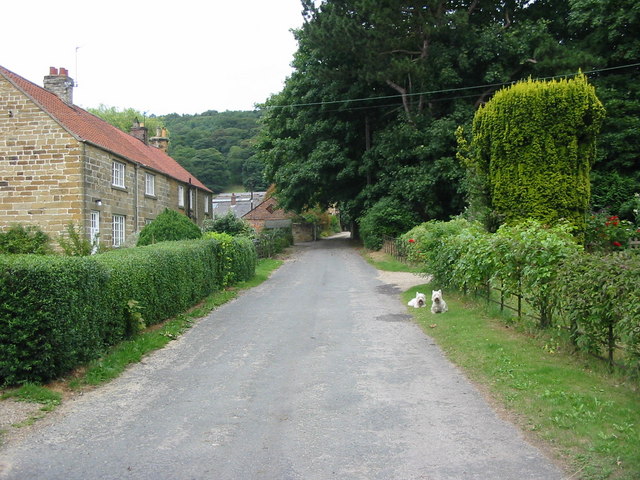
Bottom Wood is a picturesque woodland located in the county of Yorkshire, England. This enchanting forest covers an area of approximately 120 acres and is nestled in the heart of the Yorkshire Dales National Park. The wood is renowned for its diverse range of flora and fauna, making it a haven for nature enthusiasts and wildlife lovers.

The woodland consists of a mixture of deciduous and coniferous trees, including oak, beech, birch, and pine. These towering trees provide a dense canopy, creating a peaceful and secluded atmosphere within the wood. The forest floor is adorned with a carpet of vibrant wildflowers, adding a burst of color to the landscape.

Bottom Wood is home to a rich variety of wildlife, including deer, foxes, badgers, and numerous species of birds. Birdwatchers can spot woodpeckers, owls, and songbirds, among others. The wood is also a habitat for several rare and protected species, such as the red squirrel and the barn owl, making it a site of conservation importance.

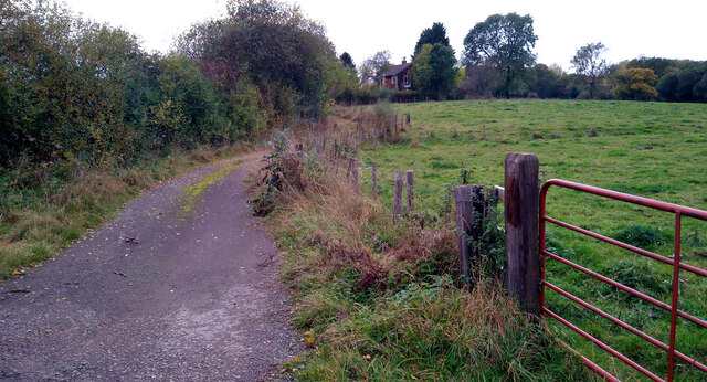
Visitors to Bottom Wood can explore its numerous walking trails and footpaths, immersing themselves in the natural beauty of the surroundings. The wood offers a tranquil retreat, away from the hustle and bustle of everyday life. It is particularly popular in the spring when the wood is blanketed with bluebells, creating a breathtaking sight.

Bottom Wood, Yorkshire, truly exemplifies the beauty of the English countryside. Its peaceful ambiance, diverse ecosystem, and stunning scenery make it a must-visit destination for those seeking a connection with nature.

If you have any feedback on the listing, please let us know in the comments section below.
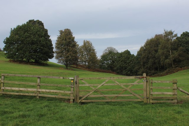
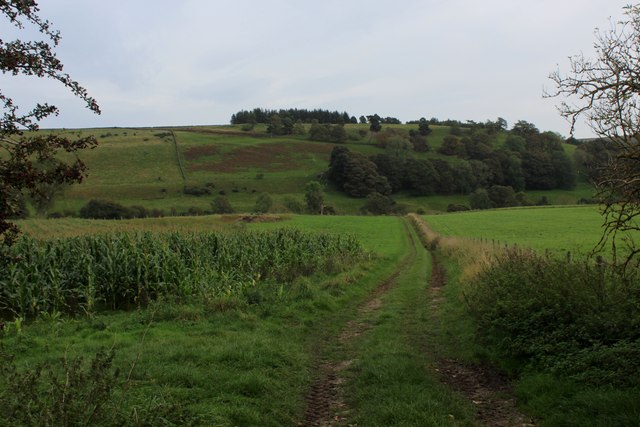
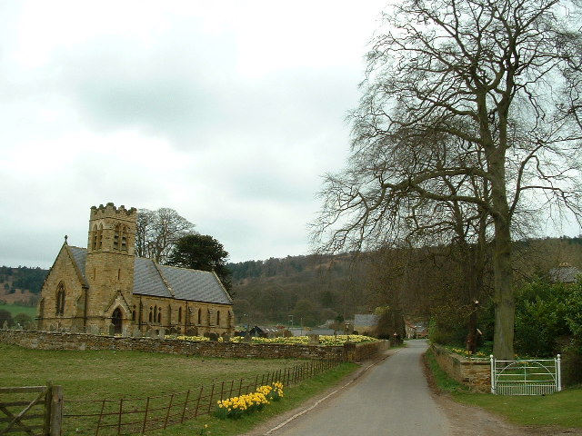
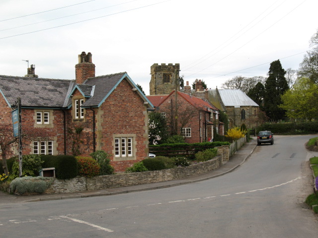
Bottom Wood Images

Images are sourced within 2km of 54.265216/-1.2712168 or Grid Reference SE4785. Thanks to Geograph Open Source API. All images are credited.

Track to the house at Pale Dike
A Devon and Cornwall Long Wool sheep The National Sheep Association says " In additional to producing large amounts of wool, so much in fact that even the lambs can be shorn, Devon & Cornwall Longwools are hardy sheep with good mothering ability."

Thanks to fellow Geographer Philip Halling for identifying this rare breed sheep.
A Devon and Cornwall Long Wool sheep
The National Sheep Association says " In additional to producing large amounts of wool, so much in fact that even the lambs can be shorn, Devon & Cornwall Longwools are hardy sheep with good mothering ability." Thanks to fellow Geographer Philip Halling for identifying this rare breed sheep.
The Carpenter's Arms Public house and restaurant in Felixkirk
The Carpenter's Arms
Public house and restaurant in Felixkirk
Old Boundary Marker on Kirby Knowle Moor Boundary Marker on Kirby Knowle Moor, 480 metres south of Cote Hill. On the boundary of Kirby Knowle and Boltby parishes.

Milestone Society National ID: YN_KKNBO02bm
Old Boundary Marker on Kirby Knowle Moor
Boundary Marker on Kirby Knowle Moor, 480 metres south of Cote Hill. On the boundary of Kirby Knowle and Boltby parishes. Milestone Society National ID: YN_KKNBO02bm
Old Boundary Marker on Kirby Knowle Moor Boundary Marker on Kirby Knowle Moor, 830 metres south of Cote Hill. On the boundary of Kirby Knowle and Boltby parishes.

Milestone Society National ID: YN_KKNBO03bm
Old Boundary Marker on Kirby Knowle Moor
Boundary Marker on Kirby Knowle Moor, 830 metres south of Cote Hill. On the boundary of Kirby Knowle and Boltby parishes. Milestone Society National ID: YN_KKNBO03bm
Old Boundary Marker on Kirby Knowle Moor Boundary Marker on Kirby Knowle Moor, 920 metres south of Cote Hill. On the boundary of Kirby Knowle and Boltby parishes.

Milestone Society National ID: YN_KKNBO04bm
Old Boundary Marker on Kirby Knowle Moor
Boundary Marker on Kirby Knowle Moor, 920 metres south of Cote Hill. On the boundary of Kirby Knowle and Boltby parishes. Milestone Society National ID: YN_KKNBO04bm
Old Boundary Marker on Kirby Knowle Moor Boundary Marker on Kirby Knowle Moor, 1070 metres south of Cote Hill. On the boundary of Kirby Knowle and Boltby parishes.

Milestone Society National ID: YN_KKNBO05bm
Old Boundary Marker on Kirby Knowle Moor
Boundary Marker on Kirby Knowle Moor, 1070 metres south of Cote Hill. On the boundary of Kirby Knowle and Boltby parishes. Milestone Society National ID: YN_KKNBO05bm
Public Footpath leading South from Boltby
On the Edge of Wind Egg Plantation What a wonderful name for a stretch of woodland!
Here, a footpath on the edge of the plantation is approaching a fingerpost pointing in four directions - two routes arrive in Kirby Knowle, a bridleway takes a circuitous route to Boltby and the final path aims for West Acre Lodge.
On the Edge of Wind Egg Plantation
What a wonderful name for a stretch of woodland! Here, a footpath on the edge of the plantation is approaching a fingerpost pointing in four directions - two routes arrive in Kirby Knowle, a bridleway takes a circuitous route to Boltby and the final path aims for West Acre Lodge.
Whinmoor Hill Access lane leading up to Manor House Farm in Kirby Knowle
Whinmoor Hill
Access lane leading up to Manor House Farm in Kirby Knowle
Footpath heading down to Kirby Knowle The footpath follows the fence towards the village of Kirby Knowle from Wind Egg Plantation
Footpath heading down to Kirby Knowle
The footpath follows the fence towards the village of Kirby Knowle from Wind Egg Plantation
Footpath heading for Knowle Hill The visible footpath through this pasture appears to have gone offline when compared to the map. However it does command a fine rural view looking to the north west
Footpath heading for Knowle Hill
The visible footpath through this pasture appears to have gone offline when compared to the map. However it does command a fine rural view looking to the north west
Knowle Hill A footpath runs through the five bar gate towards Wind Egg Plantation
Knowle Hill
A footpath runs through the five bar gate towards Wind Egg Plantation
Footpath heading towards Gurtof Wood Farm track heading north towards extensive woodland from the village of Boltby
Footpath heading towards Gurtof Wood
Farm track heading north towards extensive woodland from the village of Boltby
Track heading down to Gurtof Beck
West Acre Lodge 19th-century dairy farm which has been converted into a retreat - facilitating celebratory occasions, bespoke workshops and corporate one-day courses.
West Acre Lodge
19th-century dairy farm which has been converted into a retreat - facilitating celebratory occasions, bespoke workshops and corporate one-day courses.
Village of Boltby Unspoilt and charming village of Boltby, nestling under the shadows of the North York Moors escarpment.
It can be traced back to the Domesday Book - with a fluctuating population since those days.  The number of inhabitants has halved since the 19th Century.
Village of Boltby
Unspoilt and charming village of Boltby, nestling under the shadows of the North York Moors escarpment. It can be traced back to the Domesday Book - with a fluctuating population since those days. The number of inhabitants has halved since the 19th Century.
Kirby Knowle  church The church is dedicated to St Wilfrid.
Kirby Knowle church
The church is dedicated to St Wilfrid.
Show me another place!

Bottom Wood is located at Grid Ref: SE4785 (Lat: 54.265216, Lng: -1.2712168)

Division: North Riding

Administrative County: North Yorkshire

District: Hambleton

Police Authority: North Yorkshire

What 3 Words

///illogical.disband.caused. Near Thirsk, North Yorkshire

Nearby Locations

Bottom Wood

Related Wikis

Mount St. John Preceptory

Mount St. John Preceptory was a preceptory of the Knights Hospitallers near Felixkirk in North Yorkshire, England. == History == A preceptory to the honour...

Felixkirk

Felixkirk is a village and civil parish in the Hambleton District of North Yorkshire, England. The village is situated about three miles north-east of...

Kirby Knowle

Kirby Knowle is a village and civil parish in Hambleton District of North Yorkshire, England, on the border of the North Yorkshire Moors and near Upsall...

Holy Trinity Church, Boltby

Holy Trinity Church, Boltby is a parish church in the Church of England: 81  in Boltby. == History == The first chapel was founded in 1409 and was rebuilt...

Boltby

Boltby is a village and civil parish in the Hambleton District of North Yorkshire, England. It is on the edge of the North York Moors National Park at...

Thirlby

Thirlby is a village and civil parish in Hambleton district of North Yorkshire, England. With a population of about 120 in 2003, measured at 134 at the...

Upsall Castle

Upsall Castle is a fourteenth-century ruin, park and manor house in Upsall, in the Hambleton district of North Yorkshire, England. == History == Some records...

Upsall

Upsall is a hamlet in and civil parish in the Hambleton district of North Yorkshire, England. It is situated approximately four miles north-east of Thirsk...

Nearby Amenities

Located within 500m of 54.265216,-1.2712168
Passing Place
Lat/Long: 54.2633376/-1.2713988
Barrier: cattle_grid
Lat/Long: 54.2613656/-1.2720831
Barrier: cattle_grid
Lat/Long: 54.2611707/-1.2686158
Barrier: stile
Step Count: 1
Stile: stepover
Lat/Long: 54.2640461/-1.2715279
The data included in this document is from www.openstreetmap.org. The data is made available under ODbL.

Have you been to Bottom Wood?

Leave your review of Bottom Wood below (or comments, questions and feedback).