Kepnal

Settlement in Wiltshire

England

Kepnal

Milton Lilbourne, Wiltshire A small pond to the north of Clay Lane, located to the south of the village of Milton Lilbourne.
Milton Lilbourne, Wiltshire Credit: Rebecca A Wills

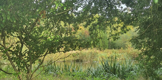
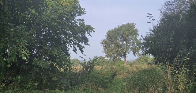
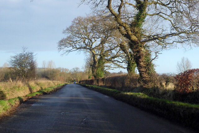
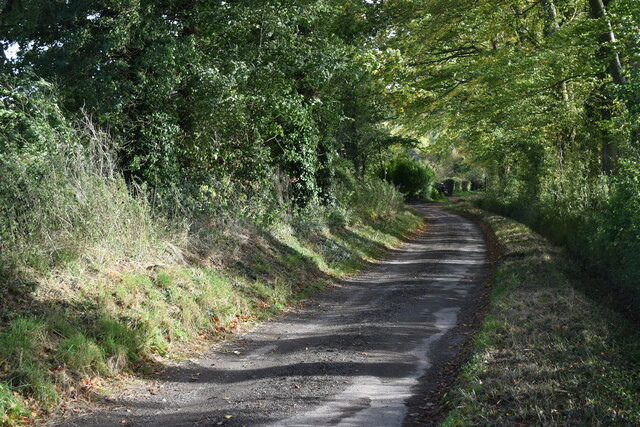
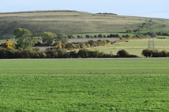
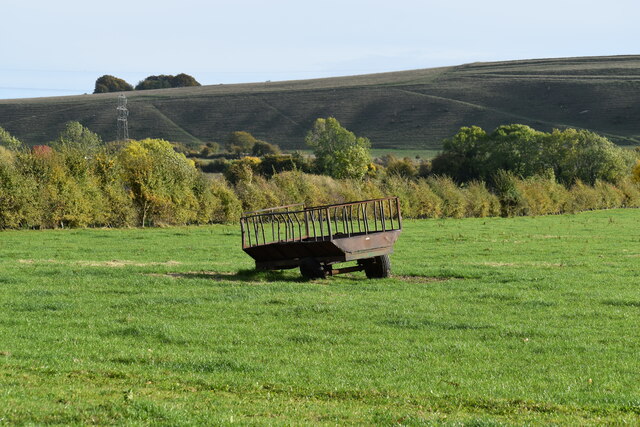
Kepnal is a small village located in the county of Wiltshire, England. Situated approximately 5 miles southeast of the town of Devizes, Kepnal is nestled in the picturesque countryside of the Pewsey Vale. The village is surrounded by rolling hills and boasts stunning views of the Wiltshire Downs.

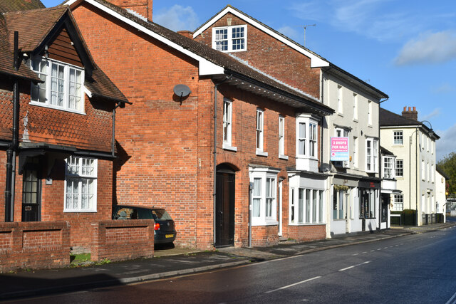
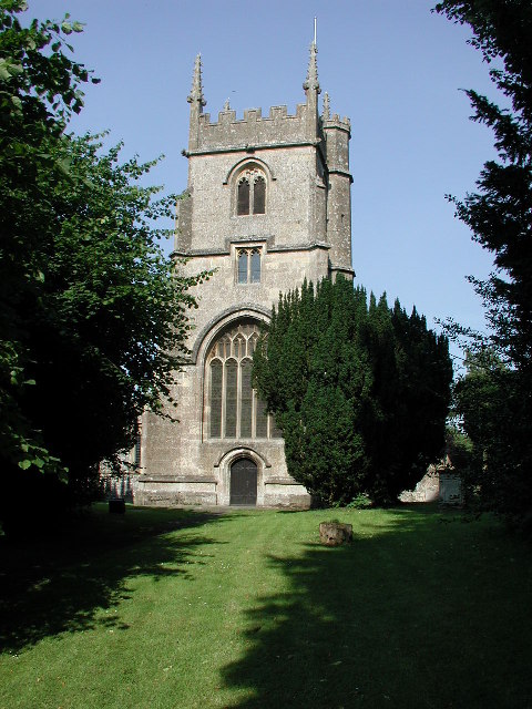
With a population of around 200 residents, Kepnal exudes a peaceful and close-knit community atmosphere. The village is characterized by charming cottages and historic buildings, showcasing its rich heritage. St. Peter's Church, a Grade II listed building, stands as a beautiful centerpiece in the heart of the village.

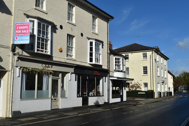
Despite its small size, Kepnal offers a range of amenities to its residents. The village has a local pub, The Red Lion, which serves as a social hub and gathering place for both locals and visitors. The pub offers traditional British cuisine and a selection of beverages.

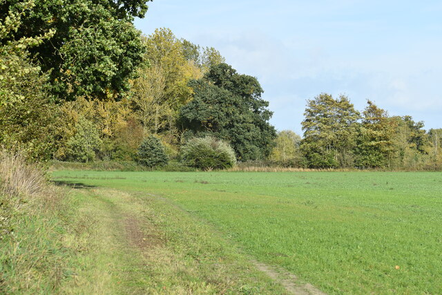
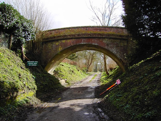
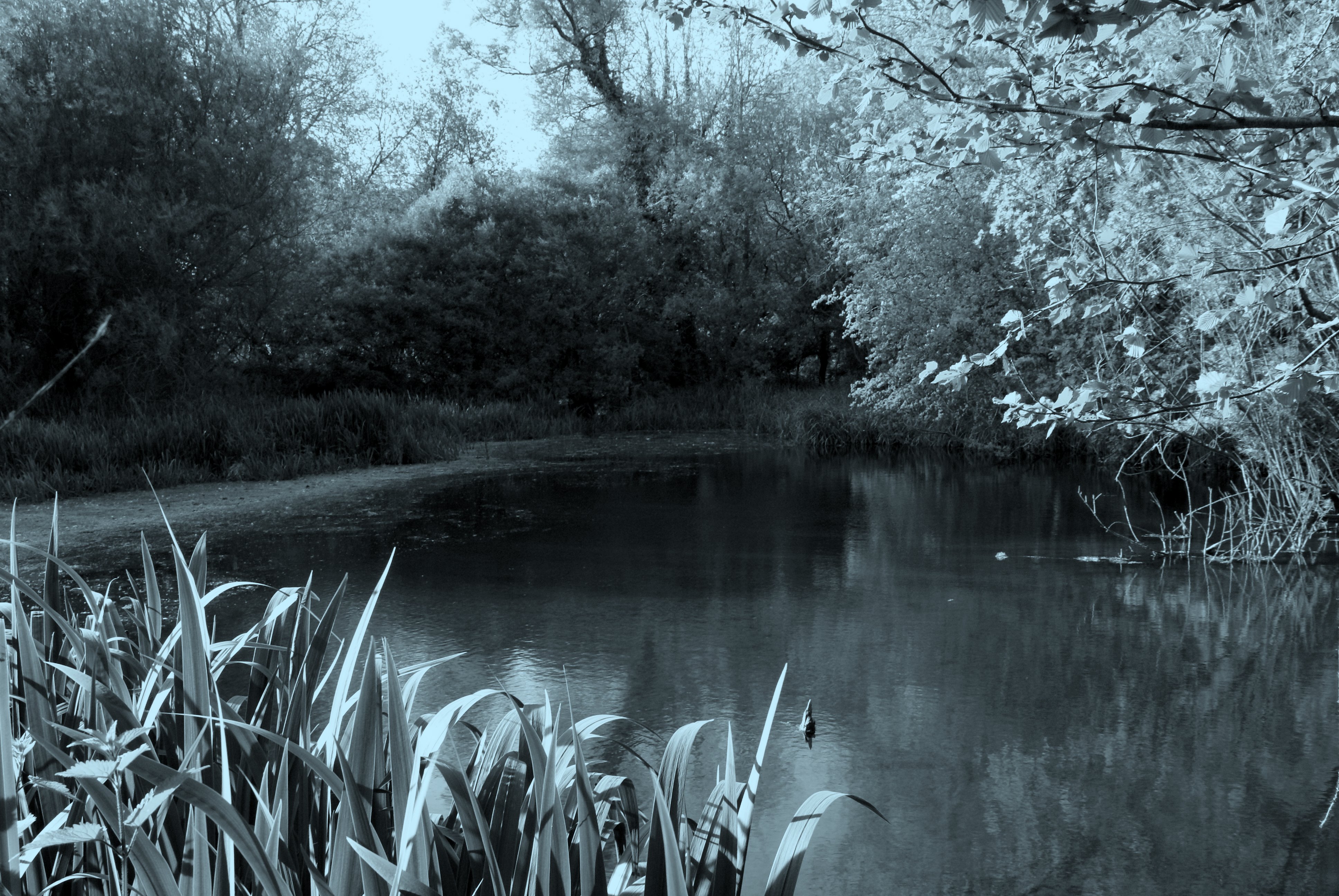
The surrounding countryside provides ample opportunities for outdoor activities. Kepnal is located near several walking and cycling trails, allowing residents to explore the stunning natural beauty of the area. The village is also in close proximity to the historic sites of Avebury Stone Circle and Silbury Hill, which attract tourists from all over the world.

Overall, Kepnal is a tranquil and picturesque village, offering residents and visitors a peaceful escape from the hustle and bustle of city life. Its natural beauty, historic charm, and strong sense of community make it a truly idyllic place to live or visit.

If you have any feedback on the listing, please let us know in the comments section below.

Kepnal Images

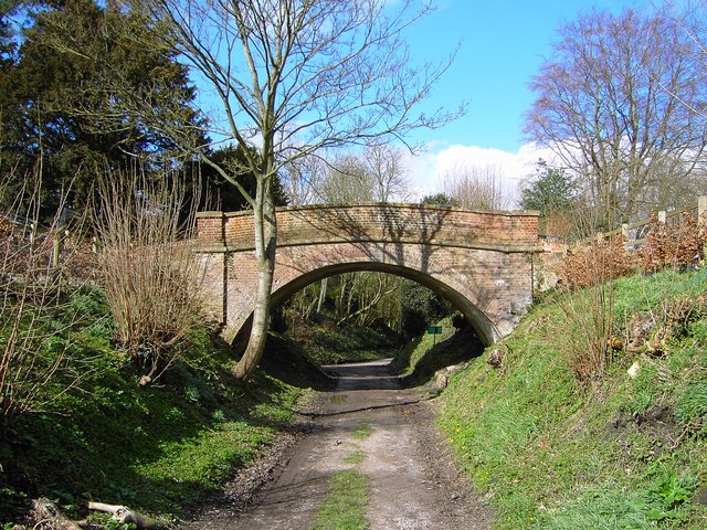
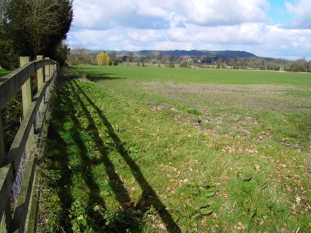
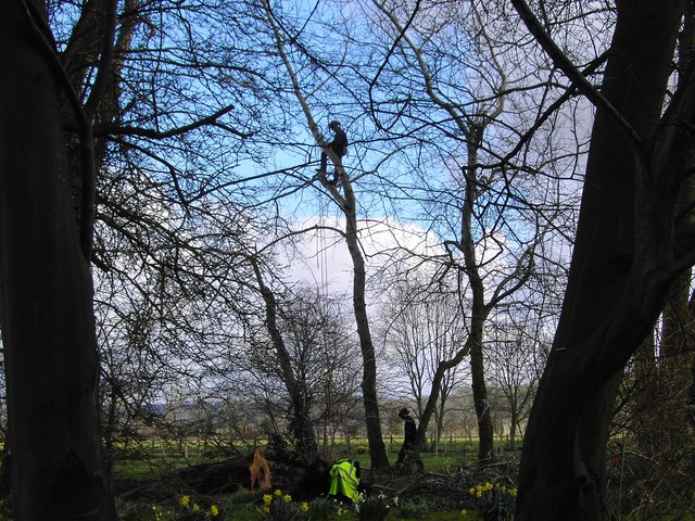
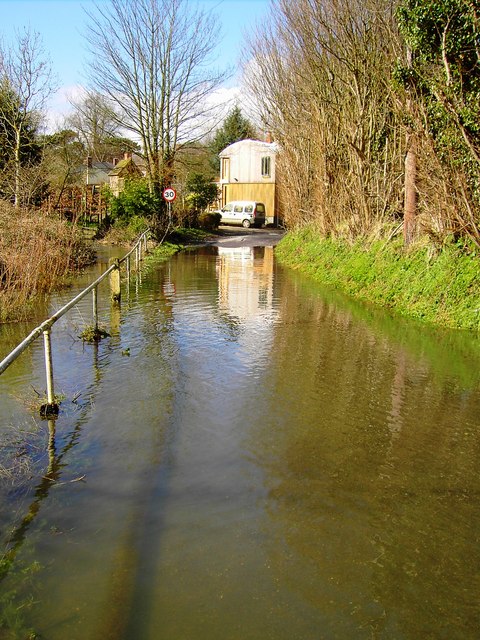
Images are sourced within 2km of 51.340727/-1.753152 or Grid Reference SU1760. Thanks to Geograph Open Source API. All images are credited.

Milton Lilbourne, Wiltshire A small pond to the north of Clay Lane, located to the south of the village of Milton Lilbourne.
Milton Lilbourne, Wiltshire
A small pond to the north of Clay Lane, located to the south of the village of Milton Lilbourne.
Pewsey, Wiltshire Farmland between Pewsey and the village of Milton Lilbourne. In the far distance Martinsell Hill can just be seen.
Pewsey, Wiltshire
Farmland between Pewsey and the village of Milton Lilbourne. In the far distance Martinsell Hill can just be seen.
Everleigh Road Towards Pewsey.
Everleigh Road
Towards Pewsey.
Lane from Milton Lilbourne towards Priory Cottage
View across farmland to Milton Hill
Field edge path south of Abbey Farm
Old trailer in field south of Clay Lane
Grassy Bridleway south of Fyfield
River Street, Pewsey
Shops for sale in River Street, Pewsey
Pewsey, Wiltshire The church of St John the Baptist
Pewsey, Wiltshire
The church of St John the Baptist
Bridge over bridleway, Southcott, Wiltshire The bridge appears to be a private one as it is not the route of a right of way or old railway. The sign at the left of the bridge states, 'Bridlepath only, private road, no parking'.
Bridge over bridleway, Southcott, Wiltshire
The bridge appears to be a private one as it is not the route of a right of way or old railway. The sign at the left of the bridge states, 'Bridlepath only, private road, no parking'.
Bridge over bridleway, Southcott, Wiltshire (2) A look at the bridge from the south. Quite attractive in an unassuming sort of way.
Bridge over bridleway, Southcott, Wiltshire (2)
A look at the bridge from the south. Quite attractive in an unassuming sort of way.
Field near Southcott, Wiltshire Rather featureless land. On the skyline is Martinsell Hill at SU175637.
Field near Southcott, Wiltshire
Rather featureless land. On the skyline is Martinsell Hill at SU175637.
Tree surgery in progress, Southcott, Wiltshire The man in the tree seemed to be the one in charge of operations.
Tree surgery in progress, Southcott, Wiltshire
The man in the tree seemed to be the one in charge of operations.
Flooded road, Southcott, Wiltshire According to the map, the watercourse to the left of the railings is the River Avon. It has overflowed at this point following recent rain.
Flooded road, Southcott, Wiltshire
According to the map, the watercourse to the left of the railings is the River Avon. It has overflowed at this point following recent rain.
Farmland, Milton Lilbourne The boundary between the downs and arable fields below Milton Hill.
Farmland, Milton Lilbourne
The boundary between the downs and arable fields below Milton Hill.
Downland, Milton Lilbourne At the foot of the downs. In the foreground you can see a small earthwork, marked as a dashed line on the 1:25000 OS map, which runs perpendicularly down from the bottom of the scarp.
Downland, Milton Lilbourne
At the foot of the downs. In the foreground you can see a small earthwork, marked as a dashed line on the 1:25000 OS map, which runs perpendicularly down from the bottom of the scarp.
Show me another place!

Kepnal is located at Grid Ref: SU1760 (Lat: 51.340727, Lng: -1.753152)

Unitary Authority: Wiltshire

Police Authority: Wiltshire

What 3 Words

///tones.baguette.enough. Near Pewsey, Wiltshire

Related Wikis

Fyfield, Milton Lilbourne

Fyfield is a small hamlet about 1 mile (1.6 km) east of Pewsey, Wiltshire, England. It is to be distinguished from the larger village of Fyfield, three...

Pewsey Vale F.C.

Pewsey Vale F.C. is a football club based in the village of Pewsey, Wiltshire, England. They play in the Wiltshire Premier League. == History == The club...

Pewsey

Pewsey is a large village and civil parish at the centre of the Vale of Pewsey in Wiltshire, about 6 miles (10 km) south of Marlborough and 71 miles (114...

Jones's Mill

Jones's Mill (grid reference SU168613) is an 11.6 hectare biological Site of Special Scientific Interest near Pewsey in Wiltshire, notified in 1975. The...

Nearby Amenities

Located within 500m of 51.340727,-1.753152
Mini Roundabout
Direction: clockwise
Lat/Long: 51.340836/-1.7586326
Information: guidepost
Tourism: information
Lat/Long: 51.3405189/-1.7591036
Power: pole
Lat/Long: 51.3430301/-1.759167
Defibrillator
Defibrillator Location: On brick wall on Milton Road near the junction with Hollybush Lane
Emergency: defibrillator
Lat/Long: 51.341074/-1.7583503
Post Box
Brand: Royal Mail
Brand Wikidata: Q638098
Collection Times: Mo-Fr 09:00; Sa 07:00
Drive Through: no
Operator: Royal Mail
Operator Wikidata: Q638098
Post Box Type: lamp
Ref: SN9 30D
Royal Cypher: EIIR
Royal Cypher Wikidata: Q33102113
Lat/Long: 51.3416722/-1.7592689
The data included in this document is from www.openstreetmap.org. The data is made available under ODbL.

Have you been to Kepnal?

Leave your review of Kepnal below (or comments, questions and feedback).