Fyfield

Settlement in Wiltshire

England

Fyfield

Milton Lilbourne, Wiltshire A small pond to the north of Clay Lane, located to the south of the village of Milton Lilbourne.
Milton Lilbourne, Wiltshire Credit: Rebecca A Wills

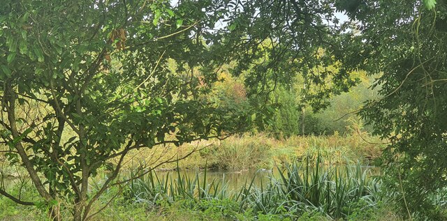
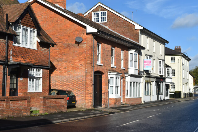
Fyfield is a small village located in the county of Wiltshire, England. Situated about 5 miles west of Marlborough, it is tucked away in the picturesque countryside of the Pewsey Vale. The village lies on the banks of the River Kennet, which adds to its natural charm.

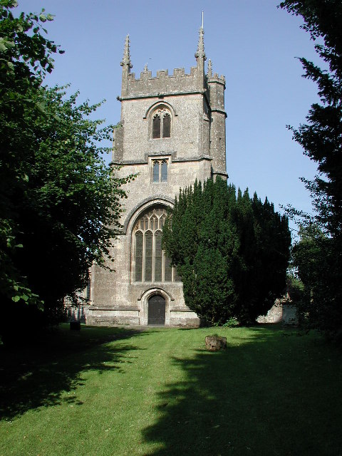
With a population of approximately 400 residents, Fyfield has a close-knit community that prides itself on its traditional village atmosphere. The village is known for its well-preserved historic buildings, including a beautiful 12th-century church, St. Nicholas, which is a focal point for the community.

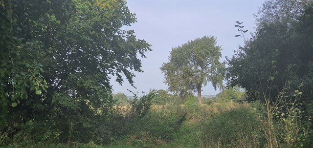
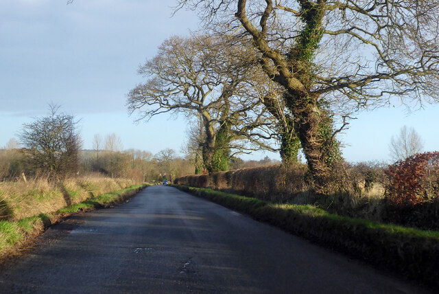
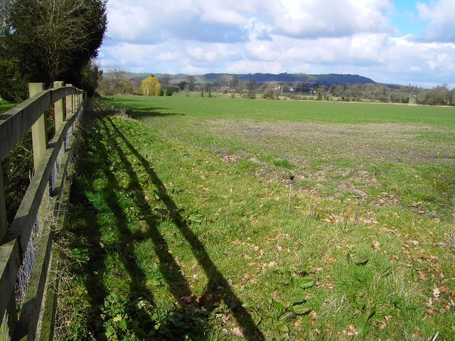
Fyfield offers a peaceful and tranquil setting, with stunning views of the surrounding countryside. It is a popular destination for outdoor enthusiasts who enjoy walking, cycling, and fishing, thanks to its proximity to the River Kennet and the nearby Savernake Forest.

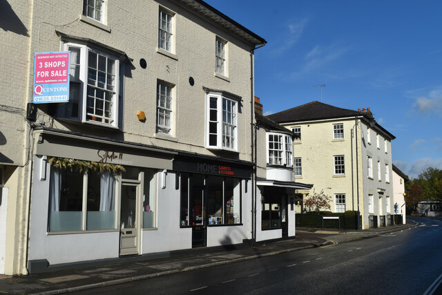
The village benefits from a local pub, The Crown Inn, which serves as a social hub for residents and visitors alike. Additionally, there is a primary school, ensuring that families have access to education within the village.

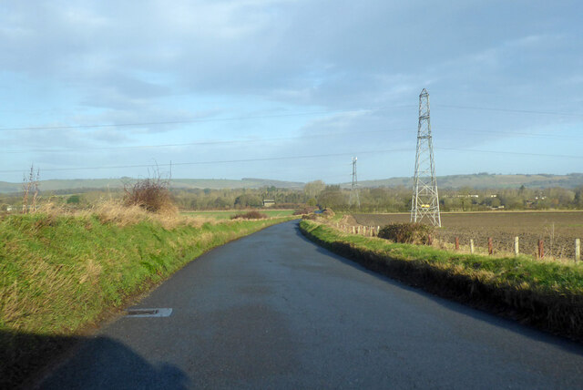
While Fyfield may be small, it benefits from its proximity to larger towns such as Marlborough and Pewsey, where residents can find a wider range of amenities and services. The village also has good transportation links, with access to major roads and railway stations in nearby towns.

Overall, Fyfield is a quaint and idyllic village, providing a peaceful and scenic place to live or visit in the heart of Wiltshire.

If you have any feedback on the listing, please let us know in the comments section below.
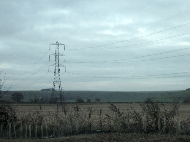
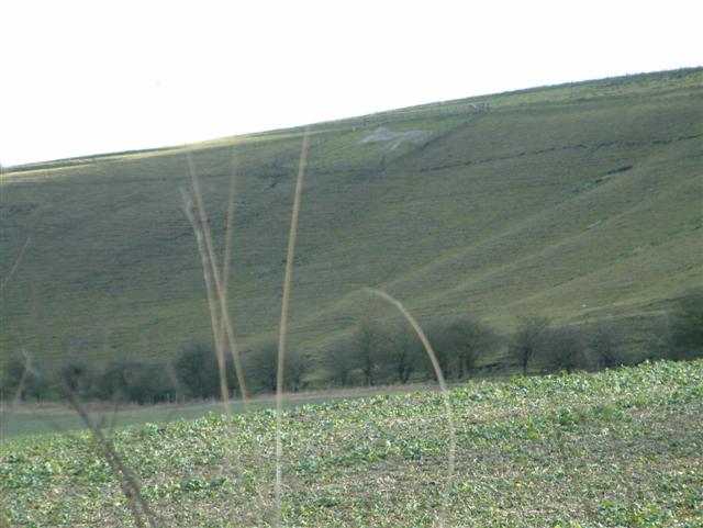
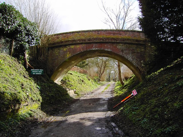
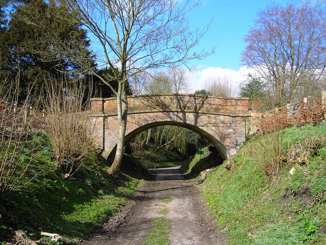
Fyfield Images

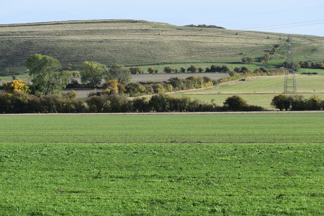
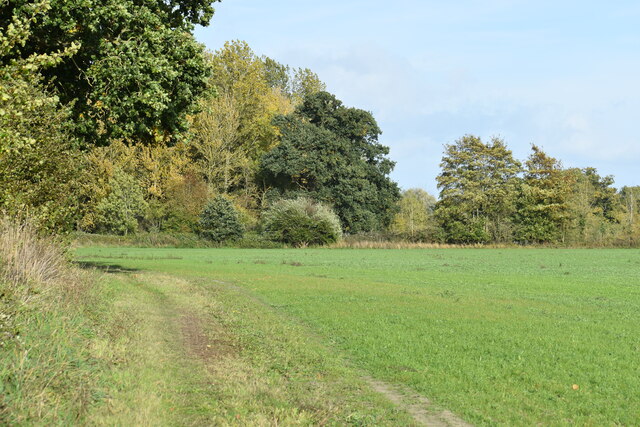
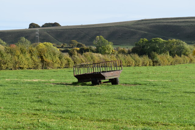
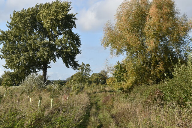
Images are sourced within 2km of 51.338838/-1.7573412 or Grid Reference SU1760. Thanks to Geograph Open Source API. All images are credited.

Milton Lilbourne, Wiltshire A small pond to the north of Clay Lane, located to the south of the village of Milton Lilbourne.
Milton Lilbourne, Wiltshire
A small pond to the north of Clay Lane, located to the south of the village of Milton Lilbourne.
Pewsey, Wiltshire Farmland between Pewsey and the village of Milton Lilbourne. In the far distance Martinsell Hill can just be seen.
Pewsey, Wiltshire
Farmland between Pewsey and the village of Milton Lilbourne. In the far distance Martinsell Hill can just be seen.
Pewsey Road towards Pewsey
Everleigh Road Towards Pewsey.
Everleigh Road
Towards Pewsey.
View across farmland to Milton Hill
Field edge path south of Abbey Farm
Old trailer in field south of Clay Lane
Grassy Bridleway south of Fyfield
River Street, Pewsey
Shops for sale in River Street, Pewsey
Pewsey, Wiltshire The church of St John the Baptist
Pewsey, Wiltshire
The church of St John the Baptist
Belmont House Veterinary Surgery on the Trading Estate
Pylon Line near Sharcott
Fields in the shadow of the White Horse
Bridge over bridleway, Southcott, Wiltshire The bridge appears to be a private one as it is not the route of a right of way or old railway. The sign at the left of the bridge states, 'Bridlepath only, private road, no parking'.
Bridge over bridleway, Southcott, Wiltshire
The bridge appears to be a private one as it is not the route of a right of way or old railway. The sign at the left of the bridge states, 'Bridlepath only, private road, no parking'.
Bridge over bridleway, Southcott, Wiltshire (2) A look at the bridge from the south. Quite attractive in an unassuming sort of way.
Bridge over bridleway, Southcott, Wiltshire (2)
A look at the bridge from the south. Quite attractive in an unassuming sort of way.
Field near Southcott, Wiltshire Rather featureless land. On the skyline is Martinsell Hill at SU175637.
Field near Southcott, Wiltshire
Rather featureless land. On the skyline is Martinsell Hill at SU175637.
Pewsey Hill, south of Southcott, Wiltshire Not marked on the map as such, there is an old field system clearly visible beneath the skyline. Out of shot to the right is one of several 'white horses' in Wiltshire. The field system and the white horse are visible on Google Earth and Flash Earth <span class="nowrap"><a title="http://www.flashearth.com/?lat=51.321304&lon=-1.756541&z=17.8&r=0&src=msa" rel="nofollow ugc noopener" href="http://www.flashearth.com/?lat=51.321304&lon=-1.756541&z=17.8&r=0&src=msa">Link</a><img style="margin-left:2px;" alt="External link" title="External link - shift click to open in new window" src="https://s1.geograph.org.uk/img/external.png" width="10" height="10"/></span>
Pewsey Hill, south of Southcott, Wiltshire
Not marked on the map as such, there is an old field system clearly visible beneath the skyline. Out of shot to the right is one of several 'white horses' in Wiltshire. The field system and the white horse are visible on Google Earth and Flash Earth LinkExternal link
Show me another place!

Fyfield is located at Grid Ref: SU1760 (Lat: 51.338838, Lng: -1.7573412)

Unitary Authority: Wiltshire

Police Authority: Wiltshire

What 3 Words

///lame.into.unearthly. Near Pewsey, Wiltshire

Related Wikis

Pewsey Vale F.C.

Pewsey Vale F.C. is a football club based in the village of Pewsey, Wiltshire, England. They play in the Wiltshire Premier League. == History == The club...

Pewsey

Pewsey is a large village and civil parish at the centre of the Vale of Pewsey in Wiltshire, about 6 miles (10 km) south of Marlborough and 71 miles (114...

Fyfield, Milton Lilbourne

Fyfield is a small hamlet about 1 mile (1.6 km) east of Pewsey, Wiltshire, England. It is to be distinguished from the larger village of Fyfield, three...

Pewsey railway station

Pewsey railway station serves the large village of Pewsey in the county of Wiltshire, England. The station is on the Berks and Hants line, 75 miles 26...

Nearby Amenities

Located within 500m of 51.338838,-1.7573412
Mini Roundabout
Direction: clockwise
Lat/Long: 51.340836/-1.7586326
Pub
Moonrakers
Wikidata: Q26646445
Lat/Long: 51.3403565/-1.7624887
Recycling
Co-op bring bank
Location: overground
Recycling Cans: yes
Recycling Clothes: yes
Recycling Foil: yes
Recycling Glass Bottles: yes
Recycling Newspaper: yes
Recycling Paper: yes
Recycling Shoes: yes
Recycling Type: container
Lat/Long: 51.3387293/-1.7640571
Turning Circle
Lat/Long: 51.3405103/-1.7638753
Mini Roundabout
Direction: clockwise
Lat/Long: 51.3391229/-1.764156
Information: guidepost
Tourism: information
Lat/Long: 51.3405189/-1.7591036
Atm
Check Date: 2021-08-24
Operator: Cash Zone
Lat/Long: 51.3389006/-1.7642172
Entrance: main
Lat/Long: 51.3389607/-1.7639469
Post Box
Brand: Royal Mail
Brand Wikidata: Q638098
Collection Times: Mo-Fr 17:30; Sa 12:00
Drive Through: no
Operator: Royal Mail
Operator Wikidata: Q638098
Post Box Type: pillar
Ref: SN9 176
Royal Cypher: EIIR
Royal Cypher Wikidata: Q33102113
Lat/Long: 51.3389555/-1.7640073
Cafe
The Little Lunchbox Café
Addr City: Pewsey
Addr Housenumber: 14
Addr Postcode: SN9 5AQ
Addr Street: High Street
Opening Hours: Mo-We 08:00-16:00; Th-Sa 09:00-19:30; Su off
Lat/Long: 51.3395661/-1.7643739
Power: pole
Lat/Long: 51.3430301/-1.759167
Defibrillator
Defibrillator Location: On brick wall on Milton Road near the junction with Hollybush Lane
Emergency: defibrillator
Lat/Long: 51.341074/-1.7583503
Access: private
Barrier: lift_gate
Lat/Long: 51.3383079/-1.7642457
Post Box
Brand: Royal Mail
Brand Wikidata: Q638098
Collection Times: Mo-Fr 09:00; Sa 07:00
Drive Through: no
Operator: Royal Mail
Operator Wikidata: Q638098
Post Box Type: lamp
Ref: SN9 30D
Royal Cypher: EIIR
Royal Cypher Wikidata: Q33102113
Lat/Long: 51.3416722/-1.7592689
Martin's
Brand: Martin's
Brand Wikidata: Q116779207
Fixme: Check if this is still here
Shop: newsagent
Survey Date: 2019-01-21
Website: https://www.mccolls.co.uk/storelocator/pewsey-high-street/
Lat/Long: 51.3398986/-1.7636879
The data included in this document is from www.openstreetmap.org. The data is made available under ODbL.

Have you been to Fyfield?

Leave your review of Fyfield below (or comments, questions and feedback).