Wilderness

Wood, Forest in Wiltshire

England

Wilderness

Milton Lilbourne, Wiltshire A small pond to the north of Clay Lane, located to the south of the village of Milton Lilbourne.
Milton Lilbourne, Wiltshire Credit: Rebecca A Wills

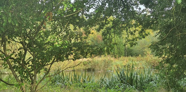
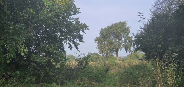
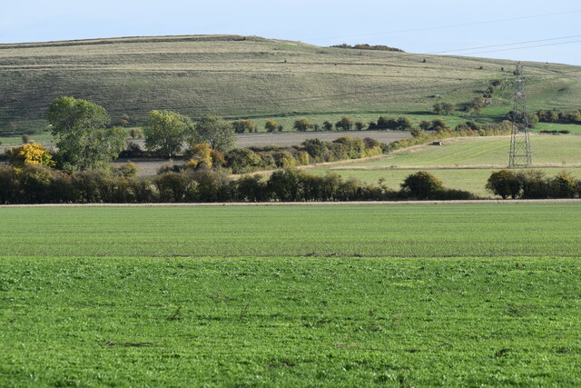
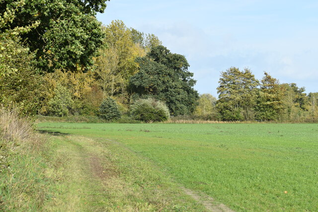
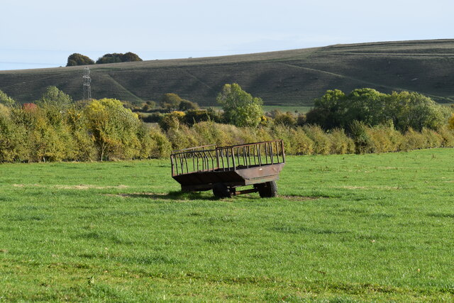
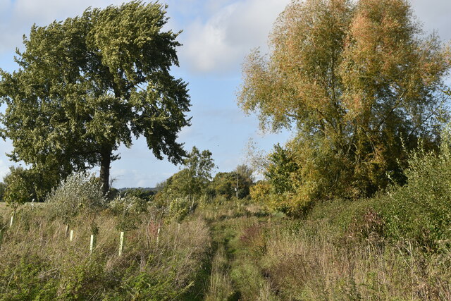
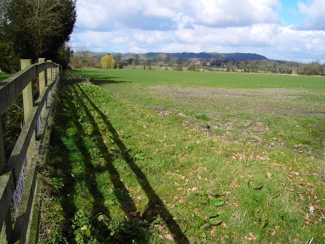
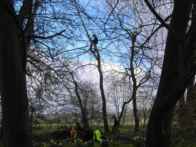
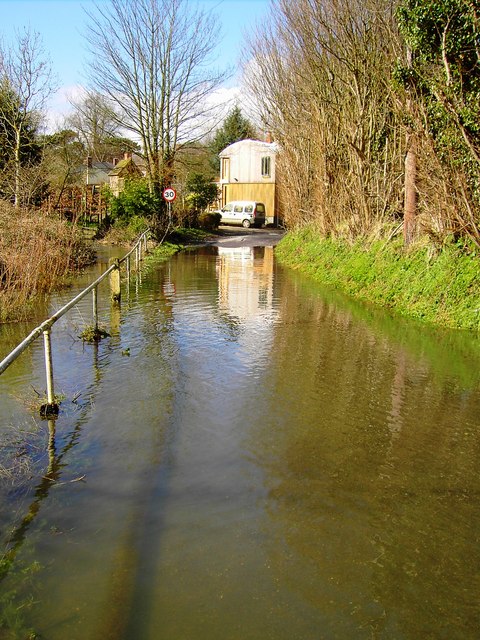
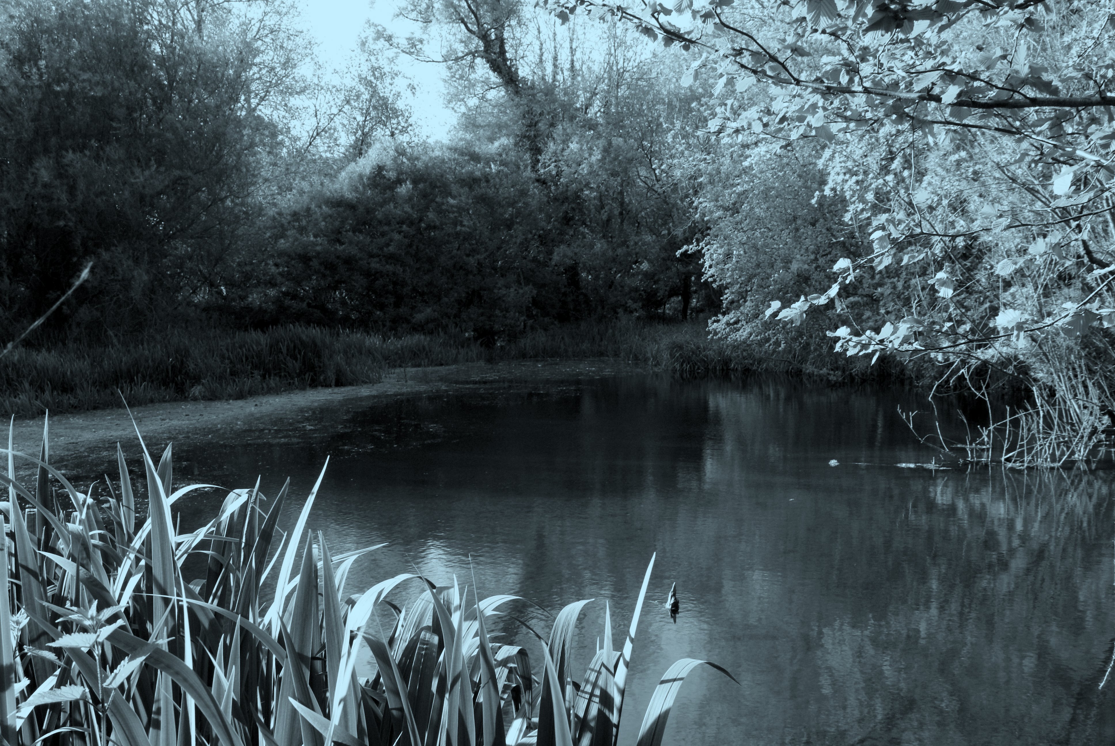
Wilderness is a woodland and forested area located in the county of Wiltshire, England. Covering an area of approximately 300 acres, it is situated near the village of Easton Royal. Wilderness is known for its picturesque landscapes, ancient woodlands, and diverse flora and fauna.

The woodland is predominantly composed of broadleaf trees, including oak, beech, and ash, which create a rich and vibrant canopy. The forest floor is carpeted with bluebells during the spring months, creating a stunning display of color. Additionally, the woodland is home to a variety of wildlife, including deer, foxes, badgers, and a wide range of bird species.

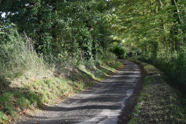
Walking trails and footpaths crisscross the Wilderness, allowing visitors to explore the area and enjoy its natural beauty. The woodland provides an ideal setting for nature enthusiasts, hikers, and photographers, offering opportunities to immerse oneself in the peaceful and serene surroundings.

Managed by the Forestry Commission, Wilderness is well-preserved and maintained, ensuring the conservation of its natural habitat. It serves as an important ecological site, providing a sanctuary for wildlife and contributing to the overall biodiversity of the region.

The tranquillity and untouched beauty of Wilderness make it a popular destination for those seeking a peaceful retreat in nature. Whether it is a leisurely stroll, a wildlife spotting expedition, or a moment of solitude amidst the trees, Wilderness offers a memorable experience for all who visit.

If you have any feedback on the listing, please let us know in the comments section below.
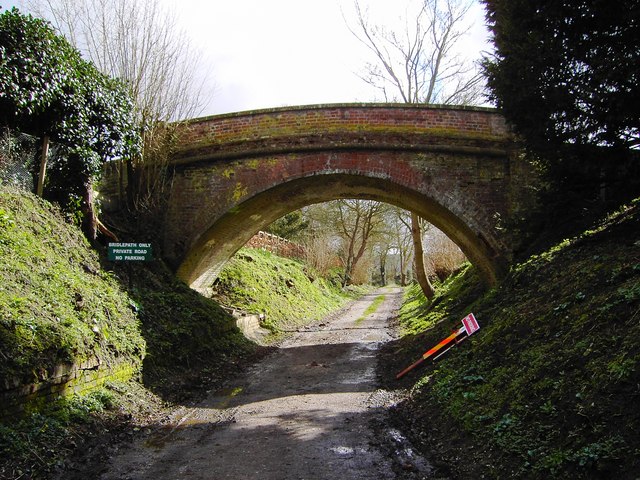
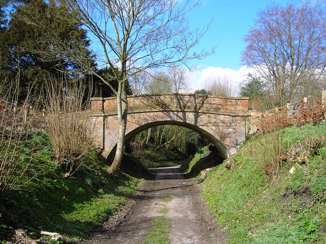
Wilderness Images

Images are sourced within 2km of 51.343794/-1.7454561 or Grid Reference SU1760. Thanks to Geograph Open Source API. All images are credited.

Milton Lilbourne, Wiltshire A small pond to the north of Clay Lane, located to the south of the village of Milton Lilbourne.
Milton Lilbourne, Wiltshire
A small pond to the north of Clay Lane, located to the south of the village of Milton Lilbourne.
Pewsey, Wiltshire Farmland between Pewsey and the village of Milton Lilbourne. In the far distance Martinsell Hill can just be seen.
Pewsey, Wiltshire
Farmland between Pewsey and the village of Milton Lilbourne. In the far distance Martinsell Hill can just be seen.
Lane from Milton Lilbourne towards Priory Cottage
View across farmland to Milton Hill
Field edge path south of Abbey Farm
Old trailer in field south of Clay Lane
Grassy Bridleway south of Fyfield
River Street, Pewsey
Shops for sale in River Street, Pewsey
Pewsey, Wiltshire The church of St John the Baptist
Pewsey, Wiltshire
The church of St John the Baptist
Bridge over bridleway, Southcott, Wiltshire The bridge appears to be a private one as it is not the route of a right of way or old railway. The sign at the left of the bridge states, 'Bridlepath only, private road, no parking'.
Bridge over bridleway, Southcott, Wiltshire
The bridge appears to be a private one as it is not the route of a right of way or old railway. The sign at the left of the bridge states, 'Bridlepath only, private road, no parking'.
Bridge over bridleway, Southcott, Wiltshire (2) A look at the bridge from the south. Quite attractive in an unassuming sort of way.
Bridge over bridleway, Southcott, Wiltshire (2)
A look at the bridge from the south. Quite attractive in an unassuming sort of way.
Field near Southcott, Wiltshire Rather featureless land. On the skyline is Martinsell Hill at SU175637.
Field near Southcott, Wiltshire
Rather featureless land. On the skyline is Martinsell Hill at SU175637.
Tree surgery in progress, Southcott, Wiltshire The man in the tree seemed to be the one in charge of operations.
Tree surgery in progress, Southcott, Wiltshire
The man in the tree seemed to be the one in charge of operations.
Flooded road, Southcott, Wiltshire According to the map, the watercourse to the left of the railings is the River Avon. It has overflowed at this point following recent rain.
Flooded road, Southcott, Wiltshire
According to the map, the watercourse to the left of the railings is the River Avon. It has overflowed at this point following recent rain.
Farmland, Milton Lilbourne A view from half way down the scarp on Milton Hill.
Farmland, Milton Lilbourne
A view from half way down the scarp on Milton Hill.
Farmland, Milton Lilbourne The boundary between the downs and arable fields below Milton Hill.
Farmland, Milton Lilbourne
The boundary between the downs and arable fields below Milton Hill.
Downland, Milton Lilbourne At the foot of the downs. In the foreground you can see a small earthwork, marked as a dashed line on the 1:25000 OS map, which runs perpendicularly down from the bottom of the scarp.
Downland, Milton Lilbourne
At the foot of the downs. In the foreground you can see a small earthwork, marked as a dashed line on the 1:25000 OS map, which runs perpendicularly down from the bottom of the scarp.
Show me another place!

Wilderness is located at Grid Ref: SU1760 (Lat: 51.343794, Lng: -1.7454561)

Unitary Authority: Wiltshire

Police Authority: Wiltshire

What 3 Words

///decks.recline.reissued. Near Pewsey, Wiltshire

Related Wikis

Fyfield, Milton Lilbourne

Fyfield is a small hamlet about 1 mile (1.6 km) east of Pewsey, Wiltshire, England. It is to be distinguished from the larger village of Fyfield, three...

Milton Lilbourne

Milton Lilbourne is a village and civil parish in the county of Wiltshire, England, in the Vale of Pewsey between Pewsey and Burbage. It is largely a mixed...

Jones's Mill

Jones's Mill (grid reference SU168613) is an 11.6 hectare biological Site of Special Scientific Interest near Pewsey in Wiltshire, notified in 1975. The...

Pewsey Vale F.C.

Pewsey Vale F.C. is a football club based in the village of Pewsey, Wiltshire, England. They play in the Wiltshire Premier League. == History == The club...

Pewsey

Pewsey is a large village and civil parish at the centre of the Vale of Pewsey in Wiltshire, about 6 miles (10 km) south of Marlborough and 71 miles (114...

Pewsey railway station

Pewsey railway station serves the large village of Pewsey in the county of Wiltshire, England. The station is on the Berks and Hants line, 75 miles 26...

Pewsey Vale School

Pewsey Vale School is a small, mixed secondary school in Pewsey, Wiltshire, England, for children aged 11 to 16. It became an academy in July 2011. The...

Clench, Wiltshire

Clench is a hamlet in Wiltshire, England, in the Vale of Pewsey to the east of Wootton Rivers. It is in the civil parish of Milton Lilbourne. Its nearest...

Nearby Amenities

Located within 500m of 51.343794,-1.7454561
Post Box
Brand: Royal Mail
Brand Wikidata: Q638098
Collection Times: Mo-Fr 09:00; Sa 07:00
Drive Through: no
Operator: Royal Mail
Operator Wikidata: Q638098
Post Box Type: lamp
Ref: SN9 14
Royal Cypher: EIIR
Royal Cypher Wikidata: Q33102113
Lat/Long: 51.3460688/-1.7513359
The data included in this document is from www.openstreetmap.org. The data is made available under ODbL.

Have you been to Wilderness?

Leave your review of Wilderness below (or comments, questions and feedback).