Kepdowrie
Settlement in Stirlingshire
Scotland
Kepdowrie
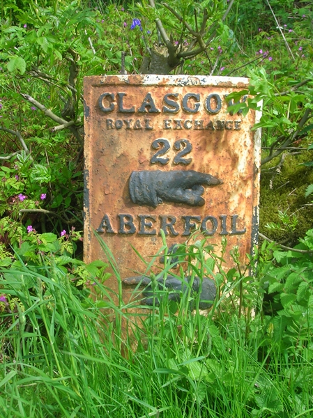
Kepdowrie is a small village located in the Stirlingshire region of Scotland. Nestled amidst scenic countryside, it offers a tranquil and picturesque setting for its residents. The village is situated approximately 10 miles south of Stirling and is easily accessible via the A9 road.
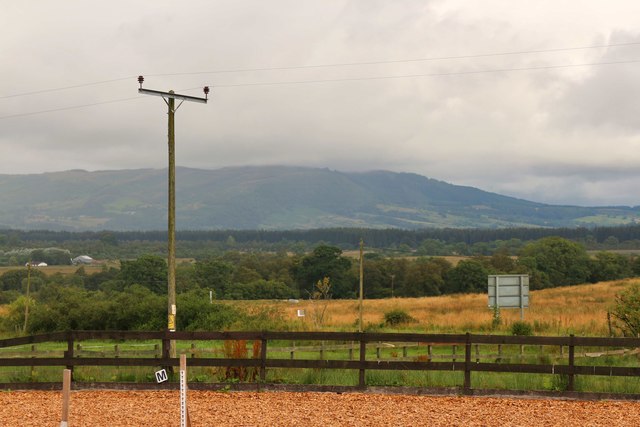
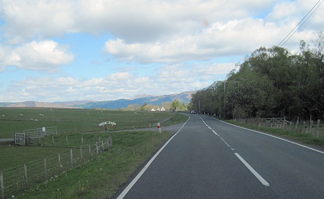
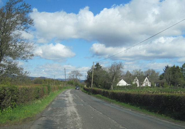
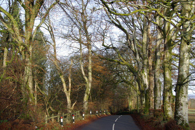
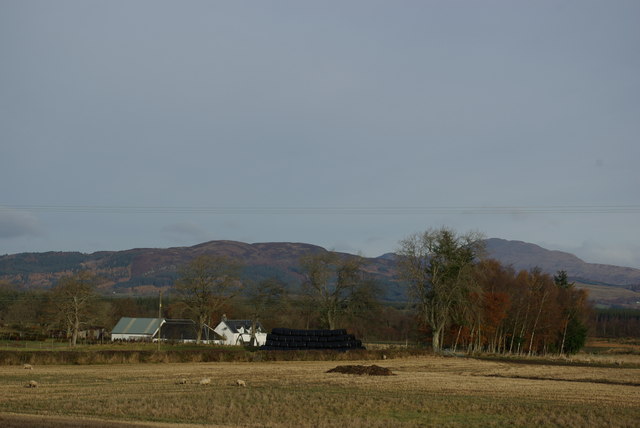
Kepdowrie is known for its charming and close-knit community, where residents take pride in maintaining the village's rural character. The landscape surrounding the village is defined by rolling hills, meadows, and lush greenery, providing an idyllic backdrop for outdoor activities and leisurely walks.
The village itself is relatively small, with a handful of residential properties and a community center that serves as a hub for local gatherings and events. Though lacking in commercial establishments, Kepdowrie benefits from its proximity to nearby towns and villages, where residents can access a wider range of amenities, including shops, schools, and healthcare facilities.
One notable feature of Kepdowrie is its rich history. The village boasts several historical landmarks, including an ancient stone circle believed to date back to the Bronze Age. These historical sites attract visitors from far and wide, contributing to the village's cultural significance.
Overall, Kepdowrie offers a peaceful and serene living environment, making it an attractive destination for those seeking a rural lifestyle. Its scenic location, community spirit, and historical charm make it a truly special place within the beautiful Stirlingshire region of Scotland.
If you have any feedback on the listing, please let us know in the comments section below.
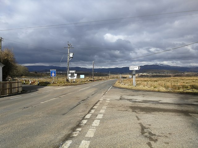
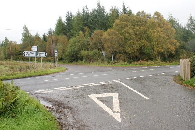
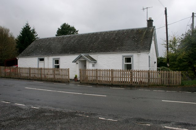
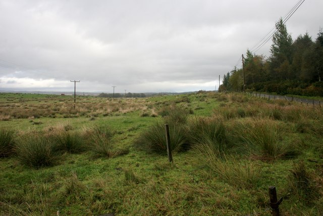
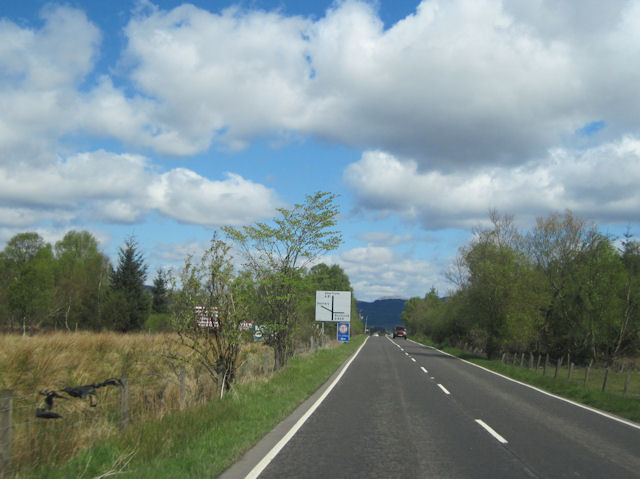
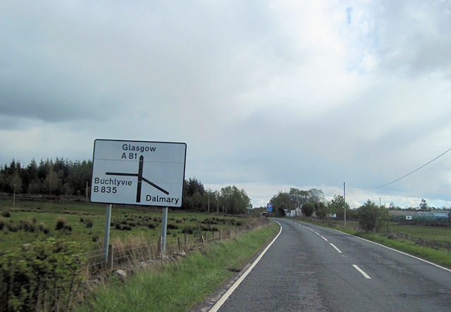
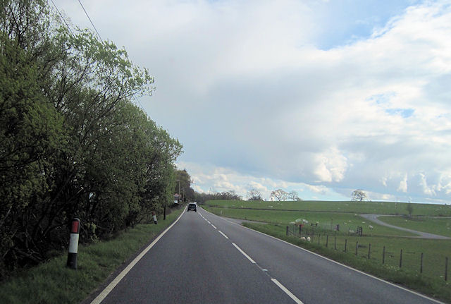
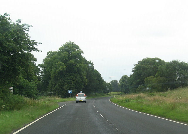
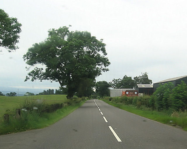
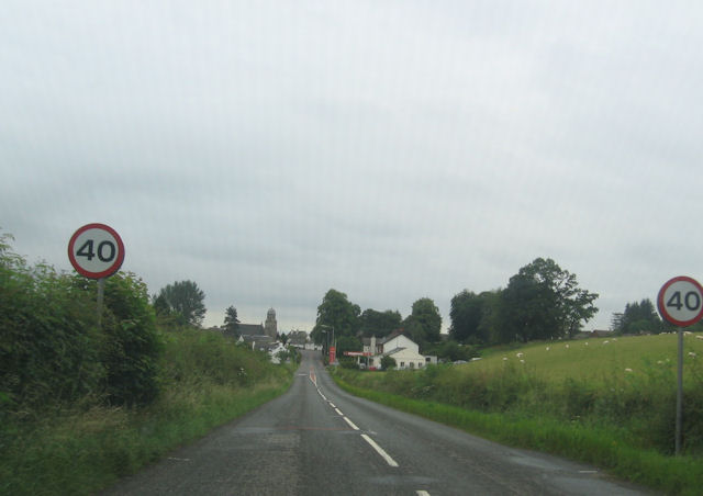
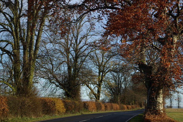
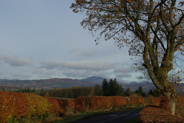
Kepdowrie Images
Images are sourced within 2km of 56.116662/-4.3337058 or Grid Reference NS5594. Thanks to Geograph Open Source API. All images are credited.
Kepdowrie is located at Grid Ref: NS5594 (Lat: 56.116662, Lng: -4.3337058)
Unitary Authority: Stirling
Police Authority: Forth Valley
What 3 Words
///reseller.sourcing.remembers. Near Balfron, Stirling
Nearby Locations
Related Wikis
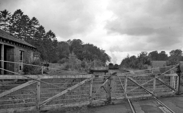
Buchlyvie railway station
Buchlyvie railway station served the village of Buchlyvie, Stirling, Scotland, from 1856 to 1959 on the Forth and Clyde Junction Railway. == History... ==
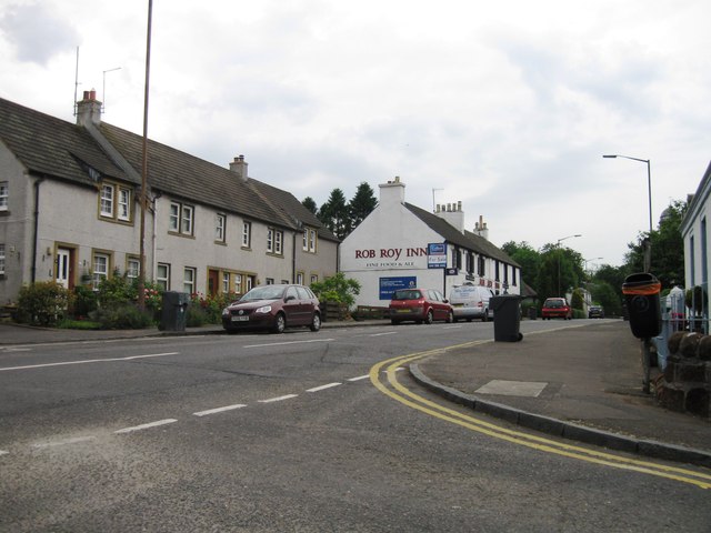
Buchlyvie
Buchlyvie is a village in the Stirling council area of Scotland. It is situated 14 miles (23 km) west of Stirling and 18 miles (29 km) north of Glasgow...

Dalmary
Dalmary is a small hamlet in Stirling, Scotland, situated in the civil parish of Drymen. Unlike other settlements in the Drymen civil parish, Dalmary has...

Gartmore House
Gartmore House is a country house and estate in the village of Gartmore, Stirling, Scotland. It was built in the mid-18th century for the Graham family...
Nearby Amenities
Located within 500m of 56.116662,-4.3337058Have you been to Kepdowrie?
Leave your review of Kepdowrie below (or comments, questions and feedback).