Arthur's Point
Coastal Feature, Headland, Point in Somerset Mendip
England
Arthur's Point
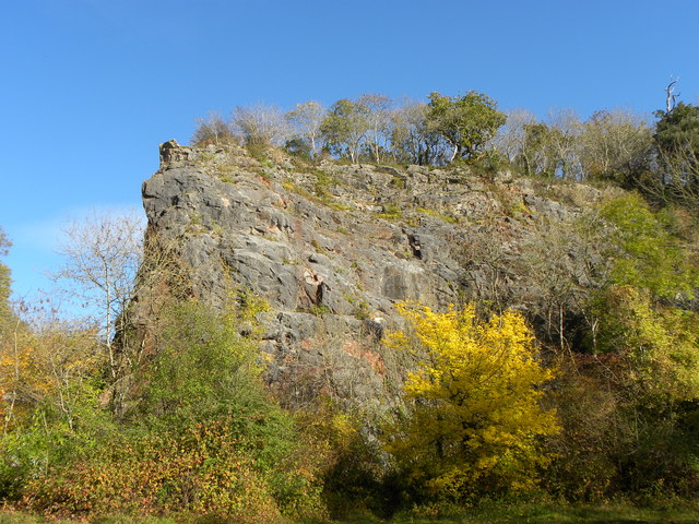
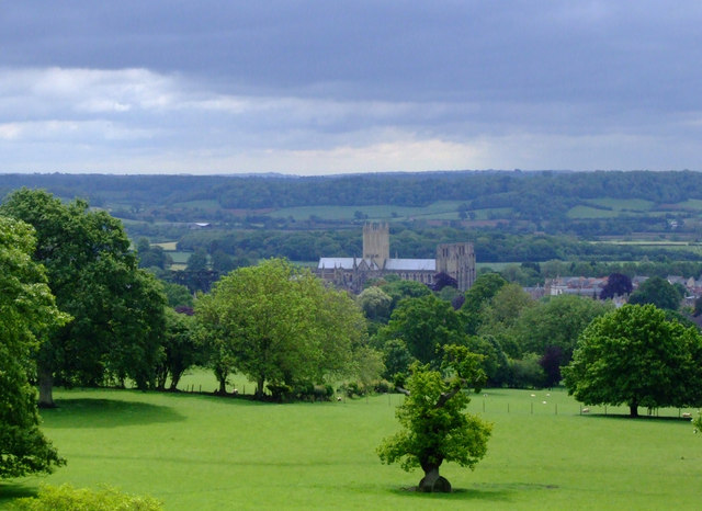
Arthur's Point is a prominent coastal feature located in Somerset, England. Situated on the western edge of the county, it is a well-known headland that juts out into the Bristol Channel. The point gets its name from the nearby village of Arthur's Point, which is nestled at the base of the headland.
This picturesque coastal feature is composed primarily of rugged cliffs that rise dramatically from the water, providing breathtaking views of the surrounding area. The cliffs are made up of layers of sedimentary rock, showcasing the rich geological history of the region.
Arthur's Point is a popular destination for outdoor enthusiasts and nature lovers alike. The headland offers various walking trails that allow visitors to explore the stunning coastal landscape and observe the diverse wildlife in the area. It is particularly renowned for its birdlife, with many species of seabirds nesting along the cliffs.
The Point also has historical significance, with remnants of ancient settlements and fortifications found in the vicinity. These archaeological sites provide insight into the area's past and offer a glimpse into the lives of the people who once inhabited the region.
In addition to its natural and historical attractions, Arthur's Point is a popular spot for water sports such as surfing and kayaking. The powerful waves and strong currents in the Bristol Channel make it an appealing destination for thrill-seekers and experienced water sports enthusiasts.
Overall, Arthur's Point is a captivating coastal feature in Somerset, offering a blend of stunning natural beauty, rich history, and exciting recreational opportunities.
If you have any feedback on the listing, please let us know in the comments section below.
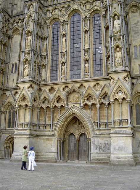
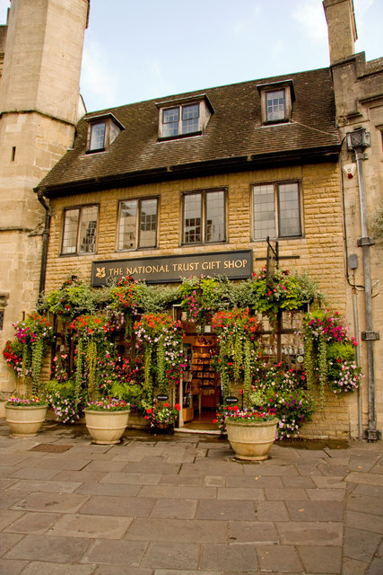
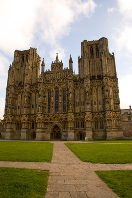
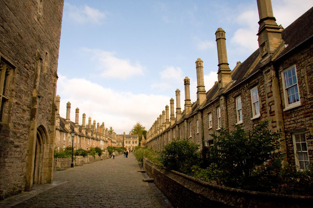
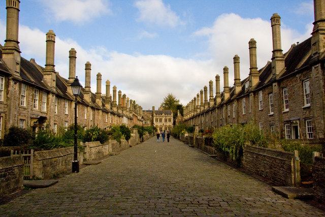
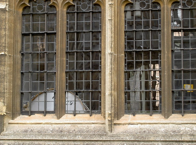
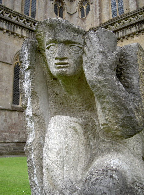
Arthur's Point Images
Images are sourced within 2km of 51.222572/-2.66317 or Grid Reference ST5347. Thanks to Geograph Open Source API. All images are credited.
Arthur's Point is located at Grid Ref: ST5347 (Lat: 51.222572, Lng: -2.66317)
Administrative County: Somerset
District: Mendip
Police Authority: Avon and Somerset
What 3 Words
///breathing.highly.dime. Near Wells, Somerset
Nearby Locations
Related Wikis
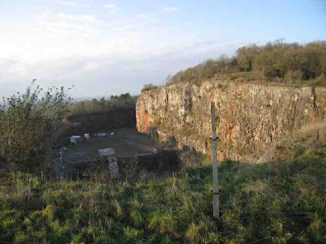
Underwood Quarry
Underwood Quarry is a former quarry near Wells, Somerset on the southern edge of the Mendip Hills that produced Carboniferous Limestone. The rock was described...
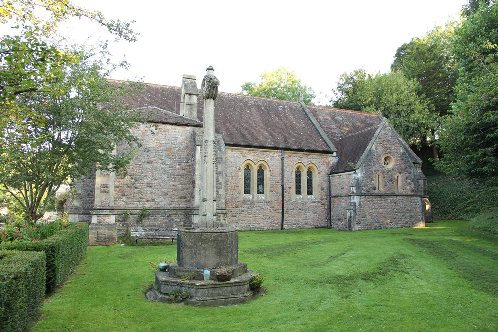
Church of St Mary Magdalene, Wookey Hole
The Church of St Mary Magdalene is a Church of England church in Wookey Hole, Somerset, England, dedicated to Jesus' companion Mary Magdalene. The church...

Wookey Hole
Wookey Hole is a village in Somerset, England. It is the location of the Wookey Hole show caves. == Location == Wookey Hole is located in the civil parish...

Wookey Hole Caves
Wookey Hole Caves () are a series of limestone caverns, a show cave and tourist attraction in the village of Wookey Hole on the southern edge of the Mendip...
Milton Lodge
Milton Lodge is a house and garden overlooking the city of Wells in the English county of Somerset. The terraced garden, which was laid out in the early...

St Cuthberts Mill
St Cuthberts Mill is a British paper manufacturing company in Wells, Somerset, that specialises in mould made artists papers. The range includes traditional...

Wookey railway station
Wookey railway station was a station on the Bristol and Exeter Railway's Cheddar Valley line in Somerset, England. The site is a 0.04 hectare geological...
The Blue School, Wells
The Blue School is a coeducational, secondary school located in Wells, Somerset, England. It had 1,570 students aged 11 to 18 of both sexes and all ability...
Nearby Amenities
Located within 500m of 51.222572,-2.66317Have you been to Arthur's Point?
Leave your review of Arthur's Point below (or comments, questions and feedback).