Peckforton Point
Coastal Feature, Headland, Point in Cheshire
England
Peckforton Point
Peckforton Point is a prominent coastal feature located in Cheshire, England. It is a headland that extends out into the Irish Sea, creating a distinct point along the coastline. The point is situated near the village of Peckforton and is surrounded by picturesque cliffs and rugged terrain.
Standing at an elevation of approximately 100 meters, Peckforton Point offers stunning panoramic views of the surrounding coastal landscape. The point is composed of various geological formations, including sandstone and limestone, which have been shaped over time by the relentless forces of erosion.
The cliffs of Peckforton Point are notable for their dramatic appearance, with layers of different colored rock clearly visible. They provide a habitat for a diverse range of plant and animal species, making the point an important site for biodiversity.
Visitors to Peckforton Point can enjoy a variety of recreational activities, such as hiking along the coastal trails or birdwatching in the area. The point is also a popular spot for rock climbing enthusiasts, as its cliffs offer challenging routes and breathtaking views.
Peckforton Point is not only a natural landmark but also holds historical significance. The area is known to have been inhabited by humans since ancient times, with evidence of prehistoric settlements found in the vicinity. The point's strategic location and commanding views have likely made it a site of interest throughout history.
In conclusion, Peckforton Point is a magnificent headland in Cheshire, characterized by its towering cliffs, diverse geology, and breathtaking views. It offers visitors a chance to immerse themselves in the natural beauty of the coastal landscape while also providing insights into the region's rich history.
If you have any feedback on the listing, please let us know in the comments section below.
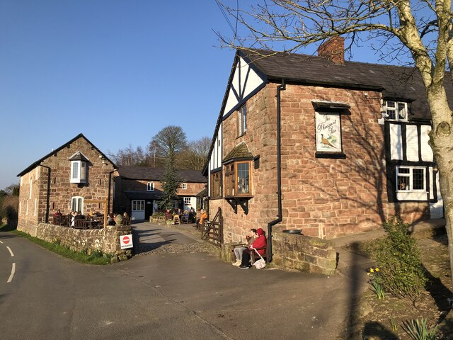
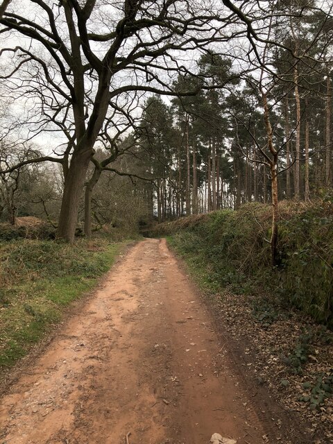
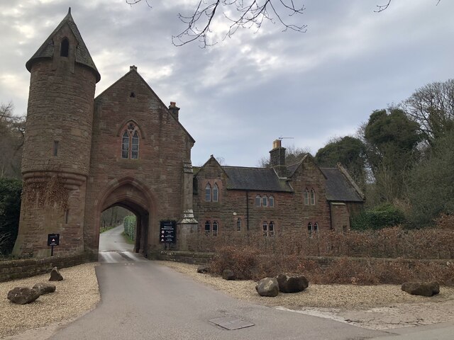
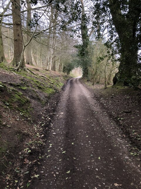
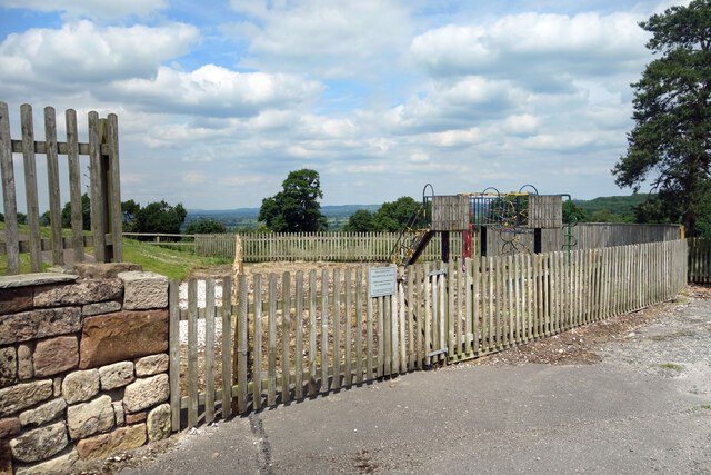
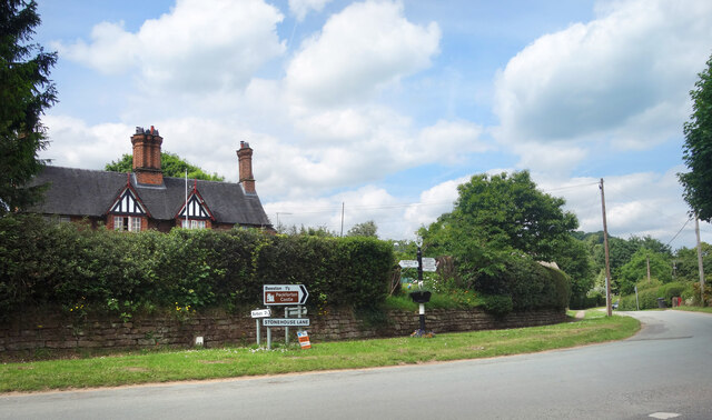
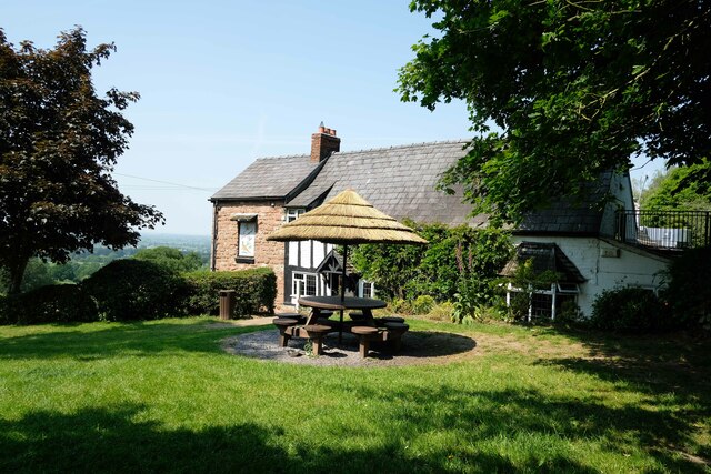
Peckforton Point Images
Images are sourced within 2km of 53.097243/-2.7029506 or Grid Reference SJ5355. Thanks to Geograph Open Source API. All images are credited.


Peckforton Point is located at Grid Ref: SJ5355 (Lat: 53.097243, Lng: -2.7029506)
Unitary Authority: Cheshire East
Police Authority: Cheshire
What 3 Words
///splash.scooter.nutty. Near Beeston, Cheshire
Nearby Locations
Related Wikis

Peckforton Hills
The Peckforton Hills are a sandstone ridge running broadly northeast–southwest in the west of the English county of Cheshire. They form a significant part...
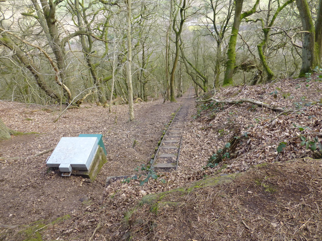
Bulkeley Hill Narrow Gauge Railway
The Bulkeley Hill Narrow Gauge Railway was a 350 yards (320 m) long 2 ft (610 mm) gauge rope-hauled incline on the Bulkeley Hill near Bulkeley in Cheshire...

Peckforton
Peckforton is a scattered settlement (centred at SJ538564) and civil parish in the unitary authority of Cheshire East and the ceremonial county of Cheshire...

Bulkeley
Bulkeley () is a village and former civil parish, now in the parish of Bulkeley and Ridley, in the unitary authority area of Cheshire East and the ceremonial...
Nearby Amenities
Located within 500m of 53.097243,-2.7029506Have you been to Peckforton Point?
Leave your review of Peckforton Point below (or comments, questions and feedback).