Folly Wood

Wood, Forest in Somerset Mendip

England

Folly Wood

Rocky Outcrop Seen from woods on Milton Hill
Rocky Outcrop Credit: Colin Bews

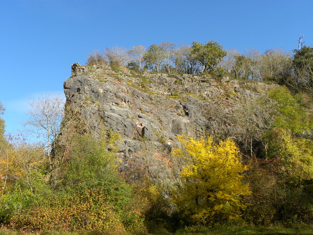
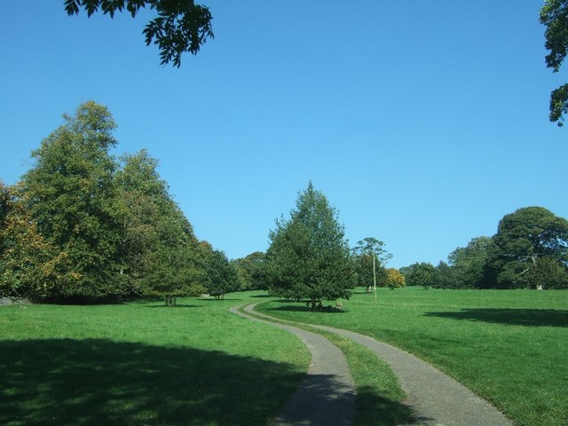
Folly Wood is a picturesque woodland located in Somerset, England. Covering an area of approximately 100 acres, this enchanting forest is known for its rich biodiversity and stunning natural beauty. Situated just a few miles outside the town of Frome, Folly Wood is a popular destination for nature enthusiasts and hikers alike.

The woodland is characterized by its dense canopy of ancient oak trees, which provide shelter for a diverse range of flora and fauna. The forest floor is carpeted with wildflowers, ferns, and mosses, creating a vibrant and lush environment throughout the year. Various species of birds, including woodpeckers and owls, can be spotted here, making it a haven for birdwatchers.

Folly Wood is also home to a network of well-maintained footpaths and trails, allowing visitors to explore the area at their own pace. These paths wind through the woodland, offering glimpses of babbling brooks, small waterfalls, and hidden glades. The tranquility of the forest provides a perfect escape from the chaos of daily life, and many visitors come here to relax and reconnect with nature.

In addition to its natural beauty, Folly Wood has historical significance as well. It is believed that the woodland was once part of an old estate, and remnants of stone walls and other structures can still be found scattered throughout the area.

Overall, Folly Wood is a haven of serenity and natural wonder, offering visitors a chance to immerse themselves in the beauty of the Somerset countryside.

If you have any feedback on the listing, please let us know in the comments section below.
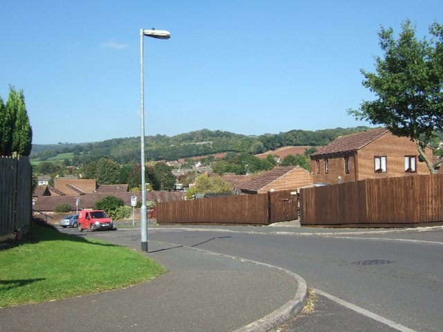
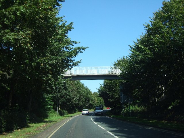
Folly Wood Images

Images are sourced within 2km of 51.223828/-2.6652215 or Grid Reference ST5347. Thanks to Geograph Open Source API. All images are credited.

Rocky Outcrop Seen from woods on Milton Hill
Rocky Outcrop
Seen from woods on Milton Hill
Vicar's Close, Wells
Dursdon Drove Dursdon Drove is a 3km (2 miles) track running roughly east/west between two north/south roads. In part, it is fairly well used as the West Mendip Way follows it for 800 metres (half a mile). But it still feels slightly odd, as there is absolutely no continuation at either end, and one wonders how the route originated.
Dursdon Drove
Dursdon Drove is a 3km (2 miles) track running roughly east/west between two north/south roads. In part, it is fairly well used as the West Mendip Way follows it for 800 metres (half a mile). But it still feels slightly odd, as there is absolutely no continuation at either end, and one wonders how the route originated.
Higher Pitts Farm This farm nestles in a slight dip on top of the Mendip Hills.
Higher Pitts Farm
This farm nestles in a slight dip on top of the Mendip Hills.
Charter Way, Wells Part of a modern estate north of the A371, Portway
Charter Way, Wells
Part of a modern estate north of the A371, Portway
Charter Way, Wells Part of a modern estate on the west of Wells
Charter Way, Wells
Part of a modern estate on the west of Wells
Footbridge over A39, Mountery Road
Single-track road in Stoberry Park
In the walled garden of Stoberry Park The walls of this garden are built of stone, in contrast to those of many estates where brick is used.
In the walled garden of Stoberry Park
The walls of this garden are built of stone, in contrast to those of many estates where brick is used.
Whiting Way car park
Estate agency office in Wells The building has several attractive details, including the decoration around the windows and doors, and the chimney pots
Estate agency office in Wells
The building has several attractive details, including the decoration around the windows and doors, and the chimney pots
Dursdon Drove Looking East along the drove from the point where the track to Higher Pitts Farm crosses it.
Dursdon Drove
Looking East along the drove from the point where the track to Higher Pitts Farm crosses it.
Dursdon Drove track The track to Higher Pitts Farm joins the Drove from the north, turns east, follows the Drove for 20 metres then turns south off the Drove to continue to the farm.  This view is looking west.
Dursdon Drove track
The track to Higher Pitts Farm joins the Drove from the north, turns east, follows the Drove for 20 metres then turns south off the Drove to continue to the farm. This view is looking west.
Wells Telephone Exchange (1) Situated on the A39 Mountery Road, this TE serves the city of Wells plus Bleadney, Burcott, Chilcote, Coxley, Dinder, Dulcote, East Horrington, Haybridge, Haydon, Henton, Polsham, West Horrington, Wookey, Wookey Hole and Yarley nearby. It has (01749) 67xxxx, 68xxxx numbers and its postcode is BA5 2QN.
Wells Telephone Exchange (1)
Situated on the A39 Mountery Road, this TE serves the city of Wells plus Bleadney, Burcott, Chilcote, Coxley, Dinder, Dulcote, East Horrington, Haybridge, Haydon, Henton, Polsham, West Horrington, Wookey, Wookey Hole and Yarley nearby. It has (01749) 67xxxx, 68xxxx numbers and its postcode is BA5 2QN.
Wells Telephone Exchange (2) Situated on the A39 Mountery Road, this TE comprises of the original building dating from the GPO era on the left, whilst the later extension can be seen in the background on the right.
Wells Telephone Exchange (2)
Situated on the A39 Mountery Road, this TE comprises of the original building dating from the GPO era on the left, whilst the later extension can be seen in the background on the right.
Wells: Gate leading to Cathedral
Wookey Hole - The Pay Booth A quiet day at Wookey Hole, in the summer this is a very busy place.
Wookey Hole - The Pay Booth
A quiet day at Wookey Hole, in the summer this is a very busy place.
Show me another place!

Folly Wood is located at Grid Ref: ST5347 (Lat: 51.223828, Lng: -2.6652215)

Administrative County: Somerset

District: Mendip

Police Authority: Avon and Somerset

What 3 Words

///screamed.scramble.impulsive. Near Wells, Somerset

Related Wikis

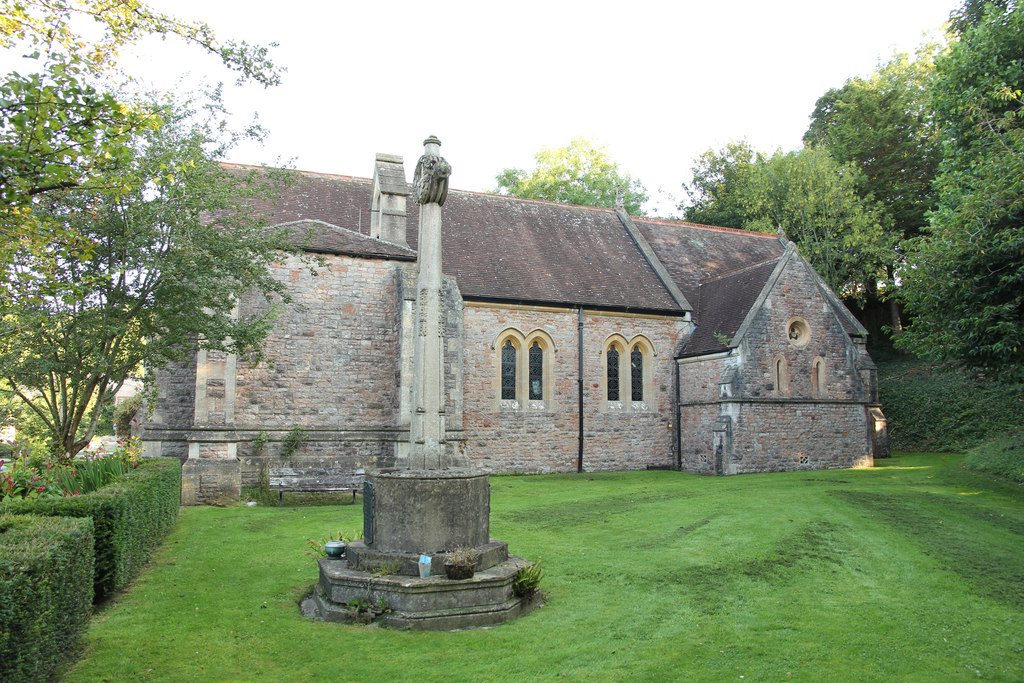
Church of St Mary Magdalene, Wookey Hole

The Church of St Mary Magdalene is a Church of England church in Wookey Hole, Somerset, England, dedicated to Jesus' companion Mary Magdalene. The church...
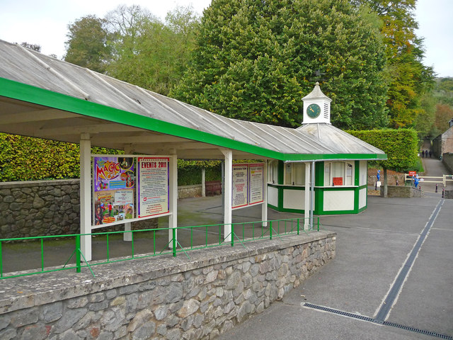
Wookey Hole

Wookey Hole is a village in Somerset, England. It is the location of the Wookey Hole show caves. == Location == Wookey Hole is located in the civil parish...
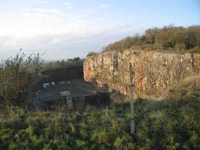
Underwood Quarry

Underwood Quarry is a former quarry near Wells, Somerset on the southern edge of the Mendip Hills that produced Carboniferous Limestone. The rock was described...

Wookey Hole Caves

Wookey Hole Caves () are a series of limestone caverns, a show cave and tourist attraction in the village of Wookey Hole on the southern edge of the Mendip...

St Cuthberts Mill

St Cuthberts Mill is a British paper manufacturing company in Wells, Somerset, that specialises in mould made artists papers. The range includes traditional...

Milton Lodge

Milton Lodge is a house and garden overlooking the city of Wells in the English county of Somerset. The terraced garden, which was laid out in the early...

Wookey railway station

Wookey railway station was a station on the Bristol and Exeter Railway's Cheddar Valley line in Somerset, England. The site is a 0.04 hectare geological...

The Blue School, Wells

The Blue School is a coeducational, secondary school located in Wells, Somerset, England. It had 1,570 students aged 11 to 18 of both sexes and all ability...

Nearby Amenities

Located within 500m of 51.223828,-2.6652215
Barrier: kissing_gate
Lat/Long: 51.223425/-2.6703077
Tourism: picnic_site
Lat/Long: 51.2247825/-2.6720506
Lower Milton Caravan And Camping Site
Tourism: camp_site
Lat/Long: 51.2261024/-2.6621953
Barrier: stile
Lat/Long: 51.2262114/-2.6616597
Pub
Wookey Hole Club
Lat/Long: 51.2244663/-2.6708508
Lower Milton
Place: hamlet
Lat/Long: 51.2267091/-2.6650194
Barrier: stile
Lat/Long: 51.2210088/-2.6647378
Lime Kiln
Historic: ruins
Lat/Long: 51.2206779/-2.6622929
Barrier: kissing_gate
Lat/Long: 51.2263967/-2.6708076
Barrier: stile
Lat/Long: 51.2264991/-2.6677847
Public Bookcase
Booth: K6
Covered: booth
Disused Amenity: telephone
Man Made: telephone_box
Public Bookcase Type: phone_box
Lat/Long: 51.2244974/-2.6711
The data included in this document is from www.openstreetmap.org. The data is made available under ODbL.

Have you been to Folly Wood?

Leave your review of Folly Wood below (or comments, questions and feedback).