Barrow Wood

Wood, Forest in Somerset

England

Barrow Wood

Barrow Reservoir
Barrow Reservoir Credit: Adrian and Janet Quantock

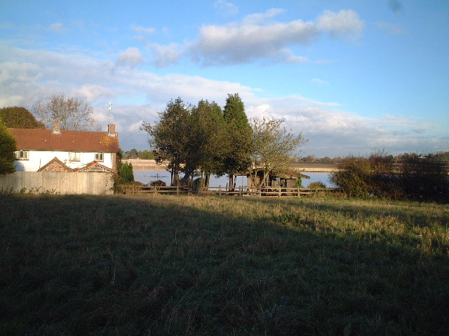
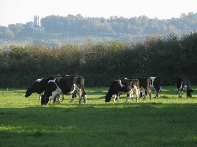
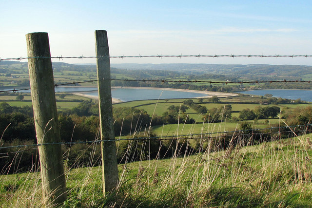
Barrow Wood, located in Somerset, is a picturesque and enchanting forest that covers an area of approximately 500 acres. The wood is nestled in the heart of the rolling countryside, offering visitors a tranquil and serene escape from the hustle and bustle of everyday life.

The wood is predominantly made up of a mix of deciduous and evergreen trees, including oak, beech, birch, and pine. These trees create a dense canopy that provides shade and shelter for a variety of flora and fauna. Walking through the wood, one can witness a stunning display of wildflowers, such as bluebells and primroses, in the springtime.

Barrow Wood offers a network of well-maintained trails and paths that wind through its lush greenery. These paths are perfect for leisurely strolls, allowing visitors to immerse themselves in nature and enjoy the peaceful atmosphere. Birdwatching enthusiasts will also find delight in the wood, as it is home to a multitude of bird species, including woodpeckers, thrushes, and owls.

The wood is a popular destination for outdoor activities such as picnics and nature walks. It also provides an excellent opportunity for educational visits, with local schools often organizing trips to explore the wood's diverse ecosystem.

Barrow Wood is not only a haven for nature lovers but also a cherished part of the local community. Its natural beauty and tranquility make it a sought-after location for relaxation and recreation. Whether it's a leisurely stroll, a family picnic, or an educational adventure, Barrow Wood guarantees a memorable and enriching experience for all who visit.

If you have any feedback on the listing, please let us know in the comments section below.
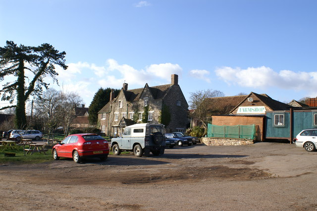
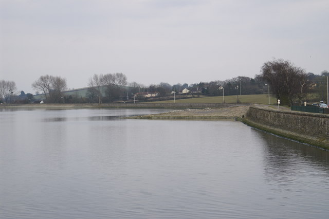
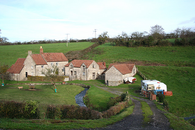
Barrow Wood Images

Images are sourced within 2km of 51.414467/-2.6678995 or Grid Reference ST5368. Thanks to Geograph Open Source API. All images are credited.

Barrow Reservoir
Barrow Reservoir
The Town & Country Lodge Motel on the A38 on the outskirts of Bristol
The Town & Country Lodge
Motel on the A38 on the outskirts of Bristol
Barrow Gurney: millpond at Lower Barrow Mill On the Land Yeo, by the B3130 from Chew Magna and Winford to Wraxall and Nailsea. The watermill was rebuilt in 1909 when owned by the Gibbs family of Tyntesfield – the house now owned by the National Trust. It retains an internal 14’ diameter overshot waterwheel used until the 1950s but the mill is not open to the public. This was at one time the lowest of three watermills at Barrow Gurney
Barrow Gurney: millpond at Lower Barrow Mill
On the Land Yeo, by the B3130 from Chew Magna and Winford to Wraxall and Nailsea. The watermill was rebuilt in 1909 when owned by the Gibbs family of Tyntesfield – the house now owned by the National Trust. It retains an internal 14’ diameter overshot waterwheel used until the 1950s but the mill is not open to the public. This was at one time the lowest of three watermills at Barrow Gurney
The hamlet of Yanley Taken from A370 'Long Ashton Bypass'
The hamlet of Yanley
Taken from A370 'Long Ashton Bypass'
Barrow Hospital Due to close in a few months many of the buildings of this Psychiatric Hospital have been boarded up for many years. This shows "South Side" with the courtyard to the former Day Hospital. All due to be redeveloped when the site is sold.
Barrow Hospital
Due to close in a few months many of the buildings of this Psychiatric Hospital have been boarded up for many years. This shows "South Side" with the courtyard to the former Day Hospital. All due to be redeveloped when the site is sold.
Barrow Hospital - "Staff Cottages" The main road from Wild Country Lane has a row of semi-detached houses leading to the main Lodge gates (far left). These houses are all in private ownership (probably many are ex-staff) and are likely to survive longer than the hospital buildings when the site is redeveloped following the hospital's closure in Spring 2006
Barrow Hospital - "Staff Cottages"
The main road from Wild Country Lane has a row of semi-detached houses leading to the main Lodge gates (far left). These houses are all in private ownership (probably many are ex-staff) and are likely to survive longer than the hospital buildings when the site is redeveloped following the hospital's closure in Spring 2006
Long Ashton - Railway Cutting The Bristol - Weston-super-Mare line viewed from Wild Country Lane bridge
Long Ashton - Railway Cutting
The Bristol - Weston-super-Mare line viewed from Wild Country Lane bridge
Looking over the Barrow Tanks towards Bristol
Gatcombe Farm & Shop
Gatcombe Farm Geese
Gatcombe Farm Geese
Barrow Reservoir Number 3
Barrow Reservoir
Number 3
Wood Spring Golf Course
Long Ashton: aqueduct over railway An aqueduct carries the Land Yeo, a river, across the Bristol and Exeter railway. The bridge also provides access to a farm on Cambridge Batch. Looking south east
Long Ashton: aqueduct over railway
An aqueduct carries the Land Yeo, a river, across the Bristol and Exeter railway. The bridge also provides access to a farm on Cambridge Batch. Looking south east
Barrow Gurney: Upper Barrow Mill A public footpath runs past the property to Windmill Hill and Redwood Farm. In addition to three watermills the parish appears to have had two medieval or post-medieval windmills. Possibly the parish's proximity to Bristol created extra demand. Behind the buildings on the right, at roof level, can be seen the line of the former mill leat, which would have powered an overshot waterwheel by the side of the building in the middle of the group. Milling ceased sometime between 1910 and 1935
Barrow Gurney: Upper Barrow Mill
A public footpath runs past the property to Windmill Hill and Redwood Farm. In addition to three watermills the parish appears to have had two medieval or post-medieval windmills. Possibly the parish's proximity to Bristol created extra demand. Behind the buildings on the right, at roof level, can be seen the line of the former mill leat, which would have powered an overshot waterwheel by the side of the building in the middle of the group. Milling ceased sometime between 1910 and 1935
Dundry, from Long Ashton These cows may look innocent enough, but they were in the adjacent field moments before watching us walk pass. 

You can see Dundry church on the hill.
Dundry, from Long Ashton
These cows may look innocent enough, but they were in the adjacent field moments before watching us walk pass. You can see Dundry church on the hill.
South West of Bristol Taken just after crossing the nearby railway bridge and before reaching the village of Long Ashton.  

If you have your glasses handy you can just make out the red City football ground (Ashton Gate).
South West of Bristol
Taken just after crossing the nearby railway bridge and before reaching the village of Long Ashton. If you have your glasses handy you can just make out the red City football ground (Ashton Gate).
Tap Water One of many wonderful views from Dundry Down.  In the background you can see the Barrow Gurney reservoirs (also known as the 'Barrow Tanks').

This land forms part of the green belt around Bristol.  The Government are hoping to transform this beautiful part of the South West into a grey belt with the building of 10,000 houses.

<span class="nowrap"><a title="http://www.thisisbristol.co.uk/news/ll-fight-10-000-new-homes-Bristol-green-belt/article-290761-detail/article.html" rel="nofollow ugc noopener" href="http://www.thisisbristol.co.uk/news/ll-fight-10-000-new-homes-Bristol-green-belt/article-290761-detail/article.html">Link</a><img style="margin-left:2px;" alt="External link" title="External link - shift click to open in new window" src="https://s1.geograph.org.uk/img/external.png" width="10" height="10"/></span>
Tap Water
One of many wonderful views from Dundry Down. In the background you can see the Barrow Gurney reservoirs (also known as the 'Barrow Tanks'). This land forms part of the green belt around Bristol. The Government are hoping to transform this beautiful part of the South West into a grey belt with the building of 10,000 houses. LinkExternal link
Show me another place!

Barrow Wood is located at Grid Ref: ST5368 (Lat: 51.414467, Lng: -2.6678995)

Unitary Authority: North Somerset

Police Authority: Avon and Somerset

What 3 Words

///scale.rises.wires. Near Long Ashton, Somerset

Related Wikis

Barrow Hospital

Barrow Hospital (sometimes referred to as Barrow Gurney Hospital, or Barrow Gurney Psychiatric Institution) was a psychiatric hospital in Barrow Gurney...

Barrow Gurney Reservoirs

Barrow Gurney Reservoirs (grid reference ST5468) (also known as Barrow Gurney Tanks or Barrow Tanks) are three artificial reservoirs for drinking water...

Barrow Gurney Nunnery

Barrow Gurney Nunnery (also called Minchin Barrow) was established around 1200 in Barrow Gurney Somerset, England. The Benedictine convent was founded...

Barrow Gurney

Barrow Gurney is a village and civil parish in Somerset, England, situated in the unitary authority of North Somerset on the B3130, midway between the...

Nearby Amenities

Located within 500m of 51.414467,-2.6678995
Post Box
Post Box Type: pillar
Lat/Long: 51.418465/-2.6683366
The Wild Country
Place: hamlet
Lat/Long: 51.4149764/-2.6625967
Oatley Park
Place: neighbourhood
Lat/Long: 51.4162924/-2.6655065
Brand: National Grid
Brand Wikidata: Q1465461
Material: wood
Operator: National Grid Electricity Distribution Plc
Operator Old: Western Power Distribution
Operator Wikidata: Q7988183
Owner: National Grid Electricity Distribution (South West) Plc
Owner Wikidata: Q114397866
Power: pole
Lat/Long: 51.4169013/-2.6736834
Brand: National Grid
Brand Wikidata: Q1465461
Material: wood
Operator: National Grid Electricity Distribution Plc
Operator Old: Western Power Distribution
Operator Wikidata: Q7988183
Owner: National Grid Electricity Distribution (South West) Plc
Owner Wikidata: Q114397866
Power: pole
Lat/Long: 51.4165439/-2.6735446
Brand: National Grid
Brand Wikidata: Q1465461
Material: wood
Operator: National Grid Electricity Distribution Plc
Operator Old: Western Power Distribution
Operator Wikidata: Q7988183
Owner: National Grid Electricity Distribution (South West) Plc
Owner Wikidata: Q114397866
Power: pole
Lat/Long: 51.4164448/-2.6739989
Brand: National Grid
Brand Wikidata: Q1465461
Material: wood
Operator: National Grid Electricity Distribution Plc
Operator Old: Western Power Distribution
Operator Wikidata: Q7988183
Owner: National Grid Electricity Distribution (South West) Plc
Owner Wikidata: Q114397866
Power: pole
Lat/Long: 51.4161157/-2.6734209
Brand: National Grid
Brand Wikidata: Q1465461
Material: wood
Operator: National Grid Electricity Distribution Plc
Operator Old: Western Power Distribution
Operator Wikidata: Q7988183
Owner: National Grid Electricity Distribution (South West) Plc
Owner Wikidata: Q114397866
Power: pole
Lat/Long: 51.4141887/-2.6727948
Brand: National Grid
Brand Wikidata: Q1465461
Material: wood
Operator: National Grid Electricity Distribution Plc
Operator Old: Western Power Distribution
Operator Wikidata: Q7988183
Owner: National Grid Electricity Distribution (South West) Plc
Owner Wikidata: Q114397866
Power: pole
Lat/Long: 51.4147697/-2.6730018
Brand: National Grid
Brand Wikidata: Q1465461
Material: wood
Operator: National Grid Electricity Distribution Plc
Operator Old: Western Power Distribution
Operator Wikidata: Q7988183
Owner: National Grid Electricity Distribution (South West) Plc
Owner Wikidata: Q114397866
Power: pole
Lat/Long: 51.4136114/-2.6730226
Brand: National Grid
Brand Wikidata: Q1465461
Material: wood
Operator: National Grid Electricity Distribution Plc
Operator Old: Western Power Distribution
Operator Wikidata: Q7988183
Owner: National Grid Electricity Distribution (South West) Plc
Owner Wikidata: Q114397866
Power: pole
Lat/Long: 51.4130586/-2.6732275
Brand: National Grid
Brand Wikidata: Q1465461
Material: wood
Operator: National Grid Electricity Distribution Plc
Operator Old: Western Power Distribution
Operator Wikidata: Q7988183
Owner: National Grid Electricity Distribution (South West) Plc
Owner Wikidata: Q114397866
Power: pole
Lat/Long: 51.4124166/-2.6734633
Brand: National Grid
Brand Wikidata: Q1465461
Material: wood
Operator: National Grid Electricity Distribution Plc
Operator Old: Western Power Distribution
Operator Wikidata: Q7988183
Owner: National Grid Electricity Distribution (South West) Plc
Owner Wikidata: Q114397866
Power: pole
Lat/Long: 51.4162059/-2.6743534
Brand: National Grid
Brand Wikidata: Q1465461
Material: wood
Operator: National Grid Electricity Distribution
Operator Old: Western Power Distribution
Operator Wikidata: Q7988183
Owner: National Grid Electricity Distribution (South West) Plc
Owner Wikidata: Q114397866
Power: pole
Lat/Long: 51.4171574/-2.6730226
Brand: National Grid
Brand Wikidata: Q1465461
Material: wood
Operator: National Grid Electricity Distribution
Operator Old: Western Power Distribution
Operator Wikidata: Q7988183
Owner: National Grid Electricity Distribution (South West) Plc
Owner Wikidata: Q114397866
Power: pole
Lat/Long: 51.4178024/-2.6721515
Bench
Backrest: no
Seats: 3
Lat/Long: 51.4136976/-2.6708078
Toilets
Access: permissive
Fee: no
Toilets Disposal: flush
Unisex: yes
Wheelchair: no
Lat/Long: 51.4134145/-2.6705317
Recycling
Operator: Holly Hedge Animal Sanctuary
Recycling Clothes: yes
Recycling Type: container
Lat/Long: 51.4136656/-2.6712368
Access: permissive
Door: hinged
Entrance: main
Wheelchair: yes
Lat/Long: 51.4135883/-2.6703703
The data included in this document is from www.openstreetmap.org. The data is made available under ODbL.

Have you been to Barrow Wood?

Leave your review of Barrow Wood below (or comments, questions and feedback).