Church Wood
Wood, Forest in Somerset
England
Church Wood
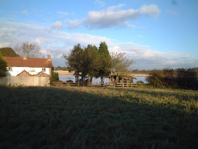
Church Wood is a picturesque woodland located in the county of Somerset, England. It covers an area of approximately 50 acres and is situated near the village of Churchstanton. The wood is a designated Site of Special Scientific Interest (SSSI) due to its rich biodiversity and ecological importance.
The woodland is primarily composed of native broadleaf trees, such as oak, beech, and ash, creating a diverse and vibrant ecosystem. The dense canopy overhead provides a cool and shaded environment, perfect for a leisurely stroll or a peaceful picnic. The forest floor is covered in a thick layer of leaf litter, creating a natural carpet of decaying matter that supports a wide range of plant and animal species.
Church Wood is home to an abundance of wildlife. Visitors may be lucky enough to spot deer, badgers, and foxes roaming freely in their natural habitat. The wood is also a haven for birdwatchers, with a variety of species calling it home, including woodpeckers, owls, and warblers.
The wood is intersected by a network of footpaths, allowing visitors to explore its beauty at their own pace. These pathways wind through the trees, revealing hidden glades, babbling brooks, and enchanting wildflowers. Throughout the year, the wood undergoes seasonal changes, with vibrant displays of bluebells in the spring and a stunning array of autumnal colors in the fall.
Church Wood is a cherished natural gem in Somerset, offering visitors a tranquil escape from the hustle and bustle of everyday life.
If you have any feedback on the listing, please let us know in the comments section below.
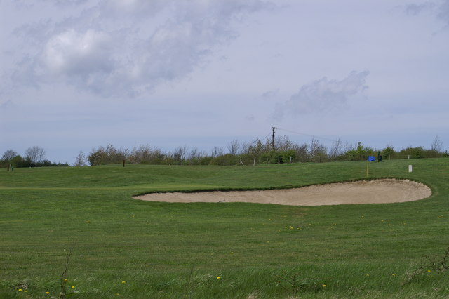
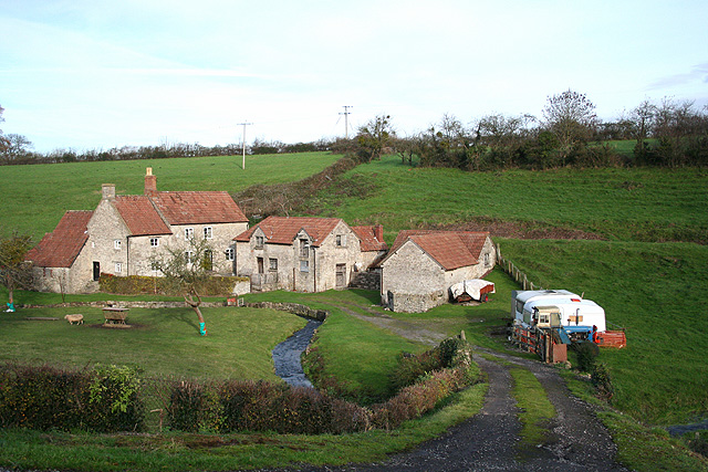
Church Wood Images
Images are sourced within 2km of 51.41197/-2.6658645 or Grid Reference ST5368. Thanks to Geograph Open Source API. All images are credited.


Church Wood is located at Grid Ref: ST5368 (Lat: 51.41197, Lng: -2.6658645)
Unitary Authority: North Somerset
Police Authority: Avon and Somerset
What 3 Words
///acid.slice.list. Near Long Ashton, Somerset
Nearby Locations
Related Wikis

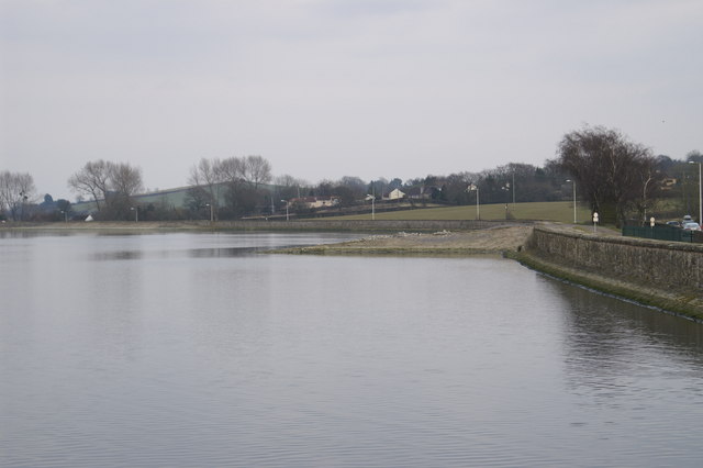
Barrow Gurney Reservoirs
Barrow Gurney Reservoirs (grid reference ST5468) (also known as Barrow Gurney Tanks or Barrow Tanks) are three artificial reservoirs for drinking water...

Barrow Hospital
Barrow Hospital (sometimes referred to as Barrow Gurney Hospital, or Barrow Gurney Psychiatric Institution) was a psychiatric hospital in Barrow Gurney...

Barrow Gurney Nunnery
Barrow Gurney Nunnery (also called Minchin Barrow) was established around 1200 in Barrow Gurney Somerset, England. The Benedictine convent was founded...

Barrow Gurney
Barrow Gurney is a village and civil parish in Somerset, England, situated in the unitary authority of North Somerset on the B3130, midway between the...
Nearby Amenities
Located within 500m of 51.41197,-2.6658645Have you been to Church Wood?
Leave your review of Church Wood below (or comments, questions and feedback).