Bell's Charity Wood

Wood, Forest in Gloucestershire Forest of Dean

England

Bell's Charity Wood

Offa's Dyke Path  Offa's Dyke Path approaching Coxbury Farm.
Offa's Dyke Path Credit: Philip Halling

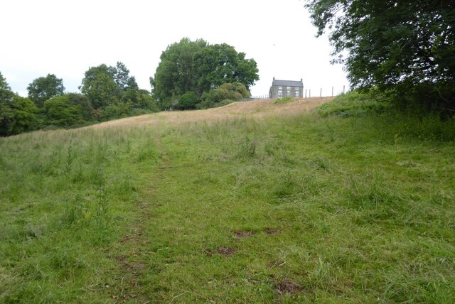
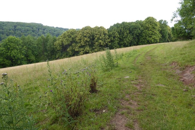
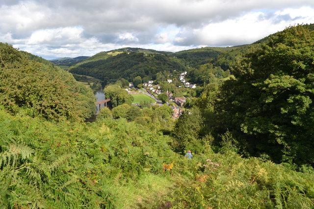
Bell's Charity Wood is a picturesque woodland located in Gloucestershire, England. Covering an area of approximately 50 acres, this forested area is a haven for nature enthusiasts and those seeking tranquility and solitude. The wood is situated just outside the village of Bell's Charity, which is renowned for its stunning countryside and natural beauty.

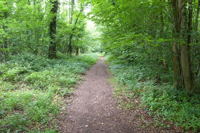
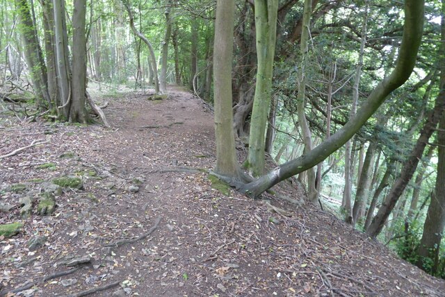
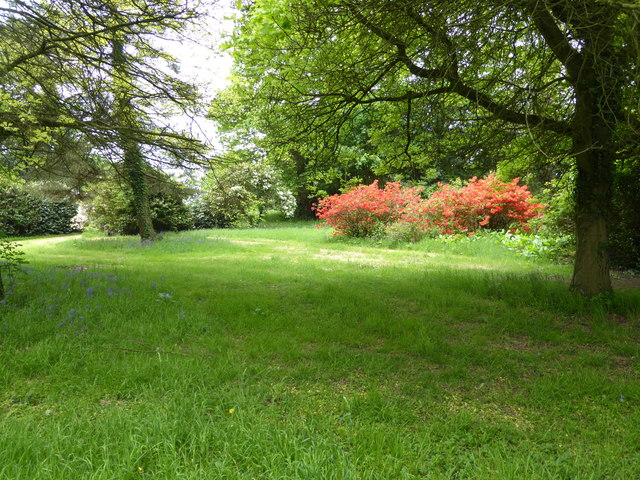
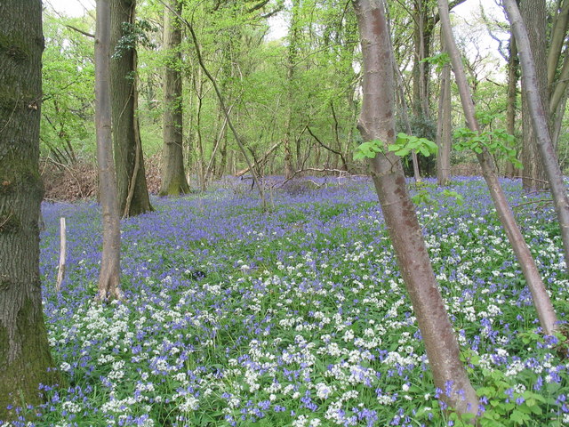
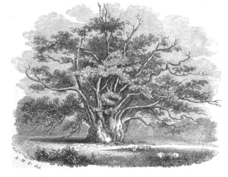
This woodland boasts a diverse range of flora and fauna, making it an important ecological site. Visitors can expect to encounter a variety of tree species, including oak, beech, and ash, which dominate the landscape and provide a rich habitat for numerous wildlife species. The forest floor is carpeted with an array of plants and flowers, such as bluebells, primroses, and foxgloves, adding vibrant splashes of color to the woodland.

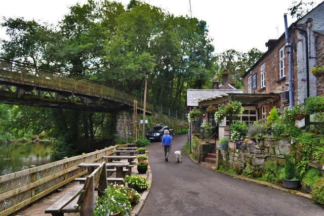
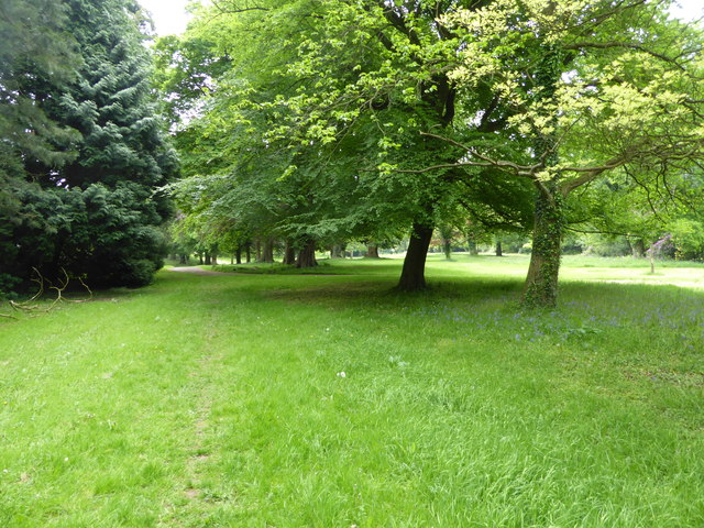
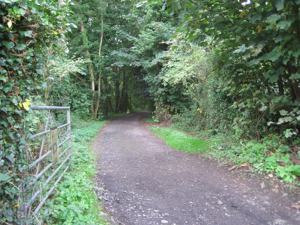
Bell's Charity Wood offers a range of recreational activities for visitors to enjoy. There are several well-maintained walking trails that meander through the forest, allowing visitors to explore the beauty of the woodland at their own pace. These paths are suitable for both casual strolls and more challenging hikes.

Additionally, the wood is a popular spot for birdwatching, with a variety of avian species inhabiting the area. Visitors may catch glimpses of birds such as woodpeckers, nuthatches, and various songbirds. The serene atmosphere and abundant wildlife make Bell's Charity Wood a perfect destination for nature enthusiasts and photographers.

Overall, Bell's Charity Wood is a hidden gem in Gloucestershire, offering a peaceful retreat for those seeking a connection with nature. Its beauty and biodiversity make it a must-visit destination for anyone exploring the region.

If you have any feedback on the listing, please let us know in the comments section below.

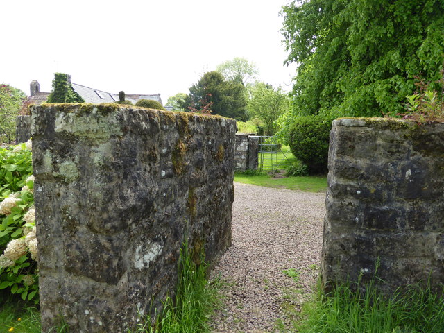
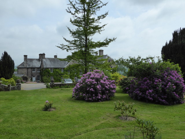
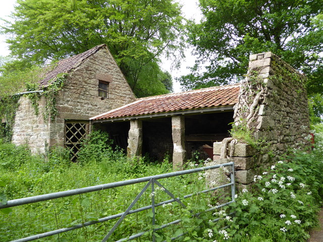
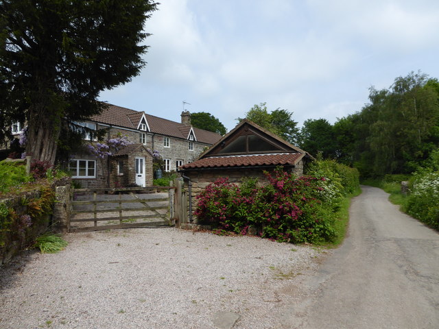
Bell's Charity Wood Images

Images are sourced within 2km of 51.773101/-2.6710664 or Grid Reference SO5308. Thanks to Geograph Open Source API. All images are credited.

Offa's Dyke Path  Offa's Dyke Path approaching Coxbury Farm.
Offa's Dyke Path
Offa's Dyke Path approaching Coxbury Farm.
Offa's Dyke Path Offa's Dyke Path crossing a field near Coxbury Farm.
Offa's Dyke Path
Offa's Dyke Path crossing a field near Coxbury Farm.
Woodland footpath This footpath in woodland on Highbury Plains is followed by Offa's Dyke Path.
Woodland footpath
This footpath in woodland on Highbury Plains is followed by Offa's Dyke Path.
Footpath in Highbury Wood Footpath through Highbury Wood above Redbrook.  Offa's Dyke Path follows this footpath.
Footpath in Highbury Wood
Footpath through Highbury Wood above Redbrook. Offa's Dyke Path follows this footpath.
View From Highbury Woods To Lower Redbrook
View From Highbury Woods
To Lower Redbrook
Bridge Over The River Wye Connecting Lower Redbrook to the lovely Boat Inn!
Bridge Over The River Wye
Connecting Lower Redbrook to the lovely Boat Inn!
Boat Inn Near Redbrook A lovely looking place. Sadly we were there before opening time
Boat Inn Near Redbrook
A lovely looking place. Sadly we were there before opening time
A Line Of Land Rovers In Redbrook A fine display of all ages
A Line Of Land Rovers In Redbrook
A fine display of all ages
Newland Almshouses With the magnificent cross in the foreground
Newland Almshouses
With the magnificent cross in the foreground
The Ostrich, Newland An ancient inn from the 17th century. Many of the occupants of the centuries old graves opposite could well have drunk there!
The Ostrich, Newland
An ancient inn from the 17th century. Many of the occupants of the centuries old graves opposite could well have drunk there!
Newland Parish Church The 'cathedral of the forest'
Newland Parish Church
The 'cathedral of the forest'
Redbrook, Wye Valley A view of Redbrook on a misty morning, taken with a medium format Mamiya twin lens camera.
Redbrook, Wye Valley
A view of Redbrook on a misty morning, taken with a medium format Mamiya twin lens camera.
In the grounds of The Argoed at Penallt Scarlet Rhododendrons here.
In the grounds of The Argoed at Penallt
Scarlet Rhododendrons here.
On a footpath through the grounds of The Argoed near Penallt Lovely parkland here.
On a footpath through the grounds of The Argoed near Penallt
Lovely parkland here.
Footpath at The Argoed near Penallt Crossing a drive.
Footpath at The Argoed near Penallt
Crossing a drive.
Rear of the Argoed at Penallt A lovely Victorian country house above the Wye Valley, once owned by Robert Plant, lead singer of Led Zeppelin, who recorded some albums at nearby Rockfield Studios in the 1980's. 

It has since been owned by a branch of my family (a great grandfather in common) who prospered in a chain of sports shops and other business interests I believe.

This house has its own Wikipedia article, impressive.<span class="nowrap"><a title="https://en.wikipedia.org/wiki/The_Argoed,_Penallt" rel="nofollow ugc noopener" href="https://en.wikipedia.org/wiki/The_Argoed,_Penallt">Link</a><img style="margin-left:2px;" alt="External link" title="External link - shift click to open in new window" src="https://s1.geograph.org.uk/img/external.png" width="10" height="10"/></span>
Rear of the Argoed at Penallt
A lovely Victorian country house above the Wye Valley, once owned by Robert Plant, lead singer of Led Zeppelin, who recorded some albums at nearby Rockfield Studios in the 1980's. It has since been owned by a branch of my family (a great grandfather in common) who prospered in a chain of sports shops and other business interests I believe. This house has its own Wikipedia article, impressive.LinkExternal link
Disused farm buildings near Tregagle Nice old buildings.
Disused farm buildings near Tregagle
Nice old buildings.
The Reynolds A terrace at Tregagle.
The Reynolds
A terrace at Tregagle.
Show me another place!

Bell's Charity Wood is located at Grid Ref: SO5308 (Lat: 51.773101, Lng: -2.6710664)

Administrative County: Gloucestershire

District: Forest of Dean

Police Authority: Gloucestershire

What 3 Words

///barbarian.glee.unfocused. Near Coleford, Gloucestershire

Related Wikis

Nearby Amenities

Located within 500m of 51.773101,-2.6710664
David's Grove
Alt Name: Glydden
Place: locality
Lat/Long: 51.7744441/-2.6669691
The data included in this document is from www.openstreetmap.org. The data is made available under ODbL.

Have you been to Bell's Charity Wood?

Leave your review of Bell's Charity Wood below (or comments, questions and feedback).