Gorsey Hill Wood

Wood, Forest in Lancashire

England

Gorsey Hill Wood

A571 crossing the M6
A571 crossing the M6 Credit: Alpin Stewart

Gorsey Hill Wood is a picturesque woodland located in Lancashire, England. Covering an area of around 20 hectares, it is a popular destination for nature enthusiasts and outdoor lovers. The wood is situated on a gentle slope, offering breathtaking views of the surrounding countryside.

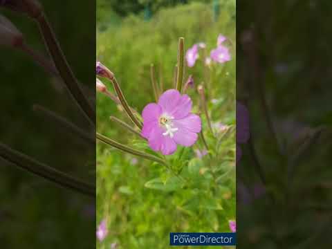
The woodland is predominantly composed of native tree species, including oak, birch, and beech. These trees create a dense canopy, providing shade and shelter for a variety of wildlife. Gorsey Hill Wood is home to a diverse range of flora and fauna, making it a haven for biodiversity. Visitors can expect to encounter woodland birds such as woodpeckers, owls, and songbirds, as well as small mammals like squirrels and rabbits.

The wood is crisscrossed by a network of well-maintained footpaths, allowing visitors to explore its beauty at their own pace. These paths lead to hidden glades, peaceful clearings, and babbling brooks, adding to the tranquility and charm of the woodland. There are also several benches strategically placed throughout the wood, providing ideal spots for relaxation and taking in the natural surroundings.

Gorsey Hill Wood is managed by a local conservation group, ensuring the preservation and protection of its natural habitat. The wood is open to the public year-round and offers opportunities for walking, wildlife spotting, and photography. It is an ideal destination for those seeking a peaceful escape from the hustle and bustle of everyday life, while also offering educational value for those interested in learning about Lancashire's natural heritage.

If you have any feedback on the listing, please let us know in the comments section below.

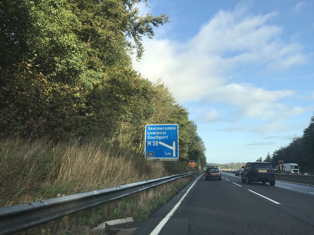
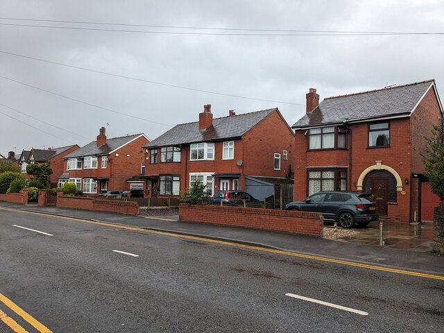
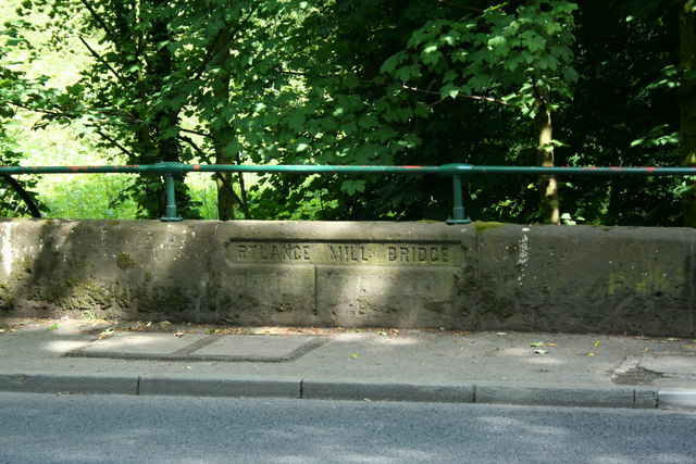
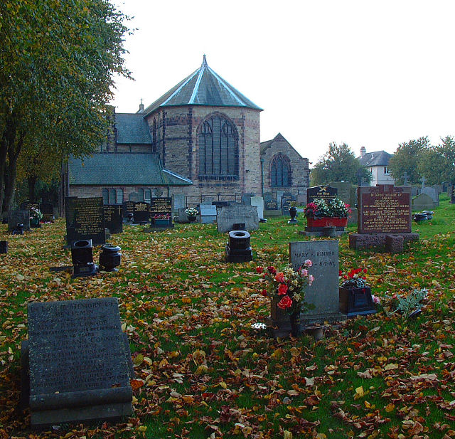
Gorsey Hill Wood Images

Images are sourced within 2km of 53.524781/-2.6984273 or Grid Reference SD5303. Thanks to Geograph Open Source API. All images are credited.

A571 crossing the M6
M6 motorway, northbound
Junction of M6 and M58
Wigan Road crossing M6 northbound
Junction 26 signage  - northbound M6
Junction 26 signage - northbound M6
The Stag
The Stag
Houses on Moor Road
Houses on Moor Road
Obstical Course in the Woods Part of an event to raise money for a local hospice held at the Scout Camp.
Obstical Course in the Woods
Part of an event to raise money for a local hospice held at the Scout Camp.
Heinz 57 Varieties A large roadsign adorns the wall on the A577.
Heinz 57 Varieties
A large roadsign adorns the wall on the A577.
Slip road to M58 at M6 junction 26 From northbound M6
Slip road to M58 at M6 junction 26
From northbound M6
M6 junction 26 roundabout From M6 overbridge looking west to M58
M6 junction 26 roundabout
From M6 overbridge looking west to M58
Rylance Mill Bridge at Pony Dick Billinge Road was originally known as Rylance Mill Lane. Rylance Mill Bridge carries the lane over Smithy Brook. The boundary between Pemberton and Winstanley is marked by the vertical line in the stonework. Just visible beneath the words are two patches which cover the words "Pemberton" on the left and "Winstanley" on the right. These were blanked out during World War 2. For more history of the area and the origin of the name Pony Dick see : <span class="nowrap"><a title="http://www.wiganworld.co.uk/stuff/furtherhistory.pdf" rel="nofollow ugc noopener" href="http://www.wiganworld.co.uk/stuff/furtherhistory.pdf">Link</a><img style="margin-left:2px;" alt="External link" title="External link - shift click to open in new window" src="https://s1.geograph.org.uk/img/external.png" width="10" height="10"/></span>
Rylance Mill Bridge at Pony Dick
Billinge Road was originally known as Rylance Mill Lane. Rylance Mill Bridge carries the lane over Smithy Brook. The boundary between Pemberton and Winstanley is marked by the vertical line in the stonework. Just visible beneath the words are two patches which cover the words "Pemberton" on the left and "Winstanley" on the right. These were blanked out during World War 2. For more history of the area and the origin of the name Pony Dick see : LinkExternal link
M6 near Windy Arbour
M6 near Winstanley Park
Approaching Junction 26 on the M6
M6 at Orrell
M6 at Orrell
Slip Road to the M58 - Junction 26 of the M6
Electricity Pylons Straddle the M58 at Tontine
Show me another place!

Gorsey Hill Wood is located at Grid Ref: SD5303 (Lat: 53.524781, Lng: -2.6984273)

Unitary Authority: Wigan

Police Authority: Greater Manchester

What 3 Words

///onion.duet.shave. Near Billinge, Merseyside

Nearby Locations

Gorsey Hill Wood

Related Wikis

Winstanley College

Winstanley College is a sixth-form college in the Billinge Higher End area of the Metropolitan Borough of Wigan, Greater Manchester. == Admissions == In...

Winstanley Hall

Winstanley Hall is a late 16th-century house in Winstanley, in the Metropolitan Borough of Wigan, Greater Manchester (grid reference SD54430310). It is...

St Luke's Church, Orrell

St Luke's Church is in Lodge Road, Orrell, Wigan, Greater Manchester, England. It is an active Anglican parish church in the deanery of Wigan, the archdeaconry...

Edge Hall Road

The Edge Hall Road Community Stadium is a rugby union community stadium, located in Orrell, Greater Manchester. Originally built as the permanent ground...

Related Videos

Welcome to UK Tourism Online!

Welcome to UK Tourism Online North West England! Within this channel you'll find many playlists about accommodation, ...

Masons Arms Walking Group. First walk of 2024.

Try the free video editor CapCut to create videos! https://www.capcut.com/t/ZmFV3xuyo/

England’s beautiful North West #england #shortsfeed #uk

travel #adventure #explore This is a compilation of some of the amazing things you can see in the north west of England ...

Nearby Amenities

Located within 500m of 53.524781,-2.6984273
Source: www.npemap.org.uk
Uk Postcode Centroid: WN5
Lat/Long: 53.521578/-2.695443
Bus Stop
Winstanley Road/Winstanley College
Bus: yes
Naptan AtcoCode: 1800WK03051
Naptan Bearing: SE
Naptan CommonName: Winstanley Road/Winstanley College
Naptan Indicator: Field
Naptan Landmark: FIELD
Naptan NaptanCode: manpmwpm
Naptan PlusbusZoneRef: MNCRPIC
Naptan ShortCommonName: College
Naptan Street: WINSTANLEY ROAD
Naptan Verified: no
Network: TfGM
Public Transport: platform
Source: naptan_import
Lat/Long: 53.5248621/-2.7008853
Bus Stop
Winstanley Road/Winstanley College
Bench: no
Bus: yes
Naptan AtcoCode: 1800WK03061
Naptan Bearing: NW
Naptan CommonName: Winstanley Road/Winstanley College
Naptan Indicator: Winstanley Colg
Naptan Landmark: COLLEGE
Naptan NaptanCode: manpmwpt
Naptan PlusbusZoneRef: MNCRPIC
Naptan ShortCommonName: College
Naptan Street: WINSTANLEY ROAD
Naptan Verified: no
Network: TfGM
Public Transport: platform
Shelter: no
Source: naptan_import
Lat/Long: 53.5243688/-2.7007112
Bus Stop
Winstanley Road/Brith
Bench: no
Bus: yes
Naptan AtcoCode: 1800WK09081
Naptan Bearing: NW
Naptan CommonName: Winstanley Road/Brith
Naptan Indicator: Os House 51
Naptan Landmark: HOUSE 51
Naptan NaptanCode: manpwdta
Naptan PlusbusZoneRef: MNCRPIC
Naptan ShortCommonName: Brith
Naptan Street: WINSTANLEY ROAD
Naptan Verified: no
Network: TfGM
Public Transport: platform
Shelter: no
Source: naptan_import
Lat/Long: 53.5264109/-2.7019669
Bus Stop
Winstanley Road/Brith
Bus: yes
Naptan AtcoCode: 1800WK10891
Naptan Bearing: SE
Naptan CommonName: Winstanley Road/Brith
Naptan Indicator: Os House 51
Naptan Landmark: HOUSE 50
Naptan NaptanCode: mantgtpt
Naptan PlusbusZoneRef: MNCRPIC
Naptan ShortCommonName: Brith
Naptan Street: WINSTANLEY ROAD
Naptan Verified: no
Network: TfGM
Public Transport: platform
Source: naptan_import
Lat/Long: 53.5264657/-2.7018169
Power: tower
Lat/Long: 53.5216108/-2.6945906
Power: tower
Lat/Long: 53.5234751/-2.6964947
Power: tower
Lat/Long: 53.5255683/-2.6971457
Power: tower
Lat/Long: 53.526762/-2.6987515
Access: private
Barrier: swing_gate
Bicycle: yes
Foot: yes
Lat/Long: 53.5284356/-2.7010988
Bus Stop
Winstanley College
Bench: no
Bin: yes
Bus: yes
Naptan AtcoCode: 1800WK15901
Naptan Bearing: N
Naptan BusStopType: CUS
Naptan CommonName: Winstanley College
Naptan Indicator: at
Naptan Landmark: Winstanley College
Naptan NaptanCode: MANWADJW
Naptan Street: Winstanley Road
Naptan Verified: no
Network: TfGM
Public Transport: platform
Shelter: no
Source: naptan;bing;naptan_compare_tool
Tactile Paving: no
Lat/Long: 53.524102/-2.7009804
Post Box
Operator: Royal Mail
Operator Wikidata: Q638098
Post Box Type: lamp
Ref: WN5 181
Royal Cypher: EIIR
Lat/Long: 53.5252033/-2.7012741
Assembly Point
Assembly Point Fire: yes
Emergency: assembly_point
Lat/Long: 53.524847/-2.7021348
The data included in this document is from www.openstreetmap.org. The data is made available under ODbL.

Have you been to Gorsey Hill Wood?

Leave your review of Gorsey Hill Wood below (or comments, questions and feedback).