Lower Milton

Settlement in Somerset Mendip

England

Lower Milton

Wookey Hole The exit of the caves at Wookey Hole.
Wookey Hole Credit: Pam Brophy

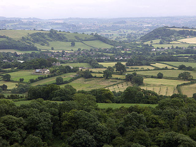
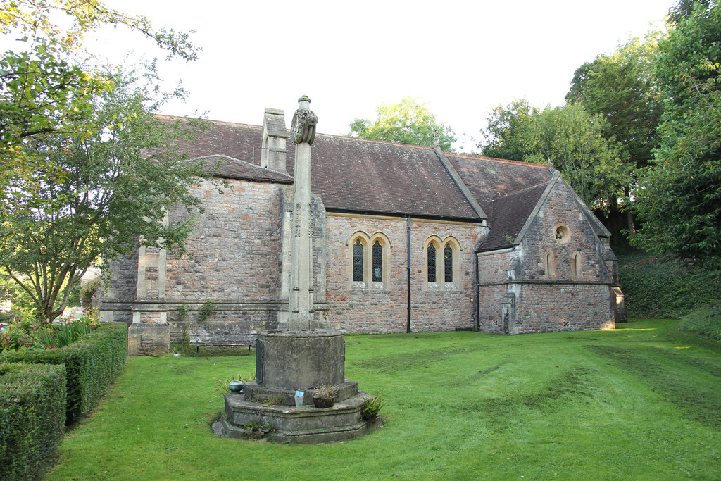
Lower Milton is a small village located in the county of Somerset, England. Situated approximately 5 miles southwest of the town of Wells, it lies in a rural area surrounded by picturesque countryside. The village is part of the Mendip district and falls within the civil parish of Milton.

Lower Milton is characterized by its tranquil and idyllic setting. It boasts charming stone houses and cottages, which add to its traditional English village charm. The community is relatively small, with a population of around 200 residents, giving it a close-knit and friendly atmosphere.

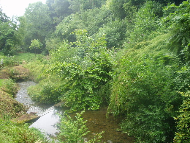
The village is surrounded by beautiful natural landscapes, with rolling hills, lush green fields, and meandering streams. It offers fantastic opportunities for outdoor activities such as walking, cycling, and horse riding. There are several footpaths and bridleways that crisscross the area, allowing residents and visitors to explore the stunning countryside.

Although Lower Milton is primarily a residential area, there are a few amenities available to its residents. These include a village hall, a primary school, and a local pub. For more extensive amenities and services, residents have easy access to nearby towns such as Wells and Shepton Mallet.

Lower Milton's peaceful and rural setting make it an attractive place to live for those seeking a quiet and picturesque lifestyle. Its proximity to larger towns provides a balance between rural living and access to urban amenities, making it an appealing location for residents of all ages.

If you have any feedback on the listing, please let us know in the comments section below.
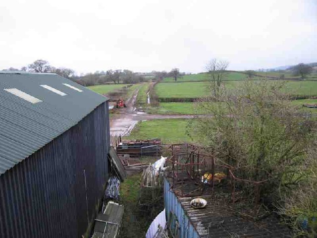
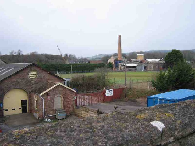
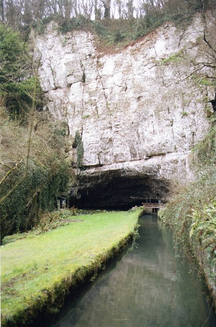
Lower Milton Images

Images are sourced within 2km of 51.227092/-2.663754 or Grid Reference ST5347. Thanks to Geograph Open Source API. All images are credited.

Wookey Hole The exit of the caves at Wookey Hole.
Wookey Hole
The exit of the caves at Wookey Hole.
Subterranean Lake at Wookey Hole This is situated a few metres away from the entrance to the cave.
Subterranean Lake at Wookey Hole
This is situated a few metres away from the entrance to the cave.
Glencot House Historical house having been a crammer school in the 1950's has now been restored and is a beautiful restaurant and inn with beautifully restored gardens.
Glencot House
Historical house having been a crammer school in the 1950's has now been restored and is a beautiful restaurant and inn with beautifully restored gardens.
Wookey Hole
Wookey Hole
Near Ebbor Gorge looking South West across Easton Near Ebbor Gorge, National Nature Reserve, looking South West across the village of Easton
Near Ebbor Gorge looking South West across Easton
Near Ebbor Gorge, National Nature Reserve, looking South West across the village of Easton
In the Ebbor Gorge
In the Ebbor Gorge
Drystone Wall near Higher Pitts Farm
Underwood Quarry This defunct quarry, overlooking Wells is now used by Thales for their research/testing. Thales, previously Racal previously Thorn, is a major employer in Wells.
Underwood Quarry
This defunct quarry, overlooking Wells is now used by Thales for their research/testing. Thales, previously Racal previously Thorn, is a major employer in Wells.
Upper Milton Just a view showing the typical woodland and grazing in this area on the upper slopes of the Mendips. Not much else to find.
Upper Milton
Just a view showing the typical woodland and grazing in this area on the upper slopes of the Mendips. Not much else to find.
Woods and fields Just another view showing woods and grazing on the upper slopes of the Mendips near Wells. Oh... and the foreground shows a recently layered, er sorry, hacked to pieces, hedge.
Woods and fields
Just another view showing woods and grazing on the upper slopes of the Mendips near Wells. Oh... and the foreground shows a recently layered, er sorry, hacked to pieces, hedge.
Old Railway The track of an old railway running NW out of Wells can be seen. The line was a victim of Beeching. The shed in the foreground (built over the line) is used by one of the Carnival Clubs for building their elaborate floats.
Old Railway
The track of an old railway running NW out of Wells can be seen. The line was a victim of Beeching. The shed in the foreground (built over the line) is used by one of the Carnival Clubs for building their elaborate floats.
St Cuthberts Paper Mill St Cuthberts Paper Mill is in the distance where the chimney is. You can see demonstrations of paper making if you visit the Wookey Hole cave complex (where Wookey paper mill is). The building in the foreground is an old station on the now disused railway line that ran from Wells to Cheddar.
St Cuthberts Paper Mill
St Cuthberts Paper Mill is in the distance where the chimney is. You can see demonstrations of paper making if you visit the Wookey Hole cave complex (where Wookey paper mill is). The building in the foreground is an old station on the now disused railway line that ran from Wells to Cheddar.
Wookey Hole and mill leat Paper mill leat (canalised R. Axe) emerges from Wookey Hole
Wookey Hole and mill leat
Paper mill leat (canalised R. Axe) emerges from Wookey Hole
Welcome to Wookey Hole Start of the village
Welcome to Wookey Hole
Start of the village
Vigo Wood & stream The small stream on the right runs down into Wells from Rookham coombe.  Vigo wood descends steeply on the left.
Vigo Wood & stream
The small stream on the right runs down into Wells from Rookham coombe. Vigo wood descends steeply on the left.
The Round Clump A round area of woodland on the steep south facing flank of the Mendip Hills. Taken from an incredibly overgrown footpath running W-E below the wood.
The Round Clump
A round area of woodland on the steep south facing flank of the Mendip Hills. Taken from an incredibly overgrown footpath running W-E below the wood.
Overgrown This is all that can be seen of a small brick building on the north side of a large field which has a superb view of Wells to the south.  The building is probably a barn.  It is on 1888 maps and still marked on modern OS maps.
Overgrown
This is all that can be seen of a small brick building on the north side of a large field which has a superb view of Wells to the south. The building is probably a barn. It is on 1888 maps and still marked on modern OS maps.
Glastonbury Tor from Underwood Quarry Taken from the northern lip of Underwood Quarry
Glastonbury Tor from Underwood Quarry
Taken from the northern lip of Underwood Quarry
Show me another place!

Lower Milton is located at Grid Ref: ST5347 (Lat: 51.227092, Lng: -2.663754)

Administrative County: Somerset

District: Mendip

Police Authority: Avon and Somerset

What 3 Words

///natural.vandalism.handwriting. Near Wells, Somerset

Related Wikis

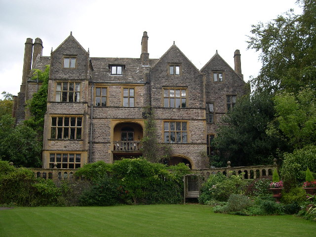
Church of St Mary Magdalene, Wookey Hole

The Church of St Mary Magdalene is a Church of England church in Wookey Hole, Somerset, England, dedicated to Jesus' companion Mary Magdalene. The church...
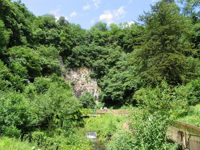
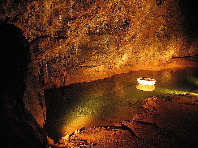
Wookey Hole Caves

Wookey Hole Caves () are a series of limestone caverns, a show cave and tourist attraction in the village of Wookey Hole on the southern edge of the Mendip...

Wookey Hole

Wookey Hole is a village in Somerset, England. It is the location of the Wookey Hole show caves. == Location == Wookey Hole is located in the civil parish...
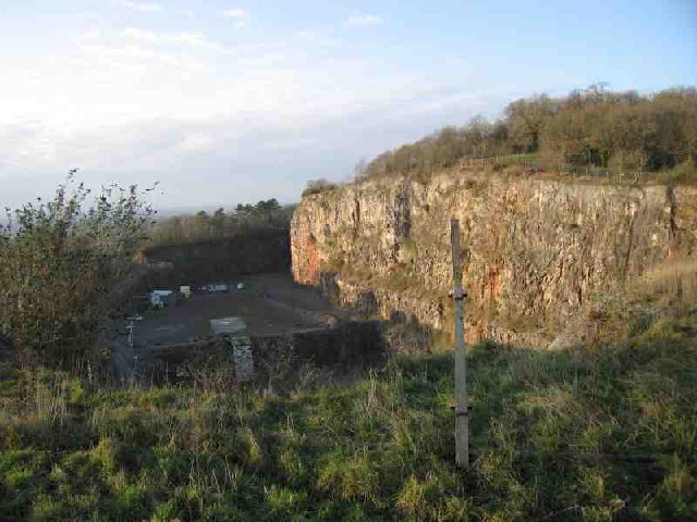
Underwood Quarry

Underwood Quarry is a former quarry near Wells, Somerset on the southern edge of the Mendip Hills that produced Carboniferous Limestone. The rock was described...

Nearby Amenities

Located within 500m of 51.227092,-2.663754
Lower Milton Caravan And Camping Site
Tourism: camp_site
Lat/Long: 51.2261024/-2.6621953
Barrier: stile
Lat/Long: 51.2262114/-2.6616597
Lower Milton
Place: hamlet
Lat/Long: 51.2267091/-2.6650194
Barrier: kissing_gate
Lat/Long: 51.2263967/-2.6708076
Barrier: stile
Lat/Long: 51.2264991/-2.6677847
Barrier: stile
Foot: yes
Material: wood
Stile: stepover
Lat/Long: 51.2295175/-2.6687979
The data included in this document is from www.openstreetmap.org. The data is made available under ODbL.

Have you been to Lower Milton?

Leave your review of Lower Milton below (or comments, questions and feedback).