Milton, Lower

Settlement in Somerset Mendip

England

Milton, Lower

Rocky Outcrop Seen from woods on Milton Hill
Rocky Outcrop Credit: Colin Bews

Milton, Lower, Somerset is a small village located in the county of Somerset, England. Situated in the southern part of the county, it lies approximately 3 miles east of the town of Wedmore and 9 miles west of the city of Wells. The village is nestled within the picturesque Somerset Levels, a region renowned for its wetland habitats and stunning landscapes.

Milton, Lower is characterized by its rural charm and tranquility. The village is home to a tight-knit community, with a population of around 500 residents. The local economy is primarily based on agriculture, with many residents involved in farming and other rural industries.

The village itself boasts a range of amenities and services to cater to its inhabitants. There is a primary school, providing education to local children, and a village hall that serves as a central hub for community events and gatherings. Additionally, there is a small convenience store and a post office, ensuring that residents have access to essential goods and services without the need to travel far.

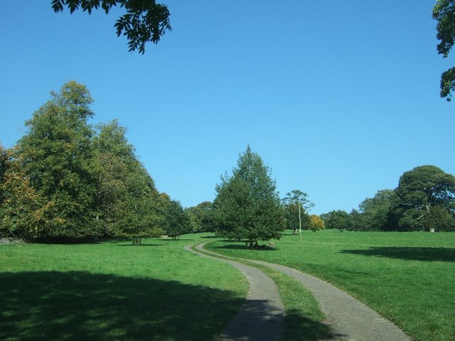
Surrounded by beautiful countryside, Milton, Lower offers a range of outdoor activities for residents and visitors alike. The area is crisscrossed with footpaths and bridleways, allowing for leisurely walks and horse riding. Nature enthusiasts can also explore the nearby nature reserves and bird sanctuaries, which are home to a diverse range of wildlife.

Overall, Milton, Lower, Somerset provides a peaceful and idyllic setting for those seeking a rural lifestyle, while still being within easy reach of larger towns and cities in the region.

If you have any feedback on the listing, please let us know in the comments section below.

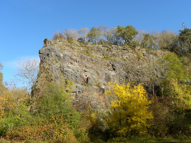
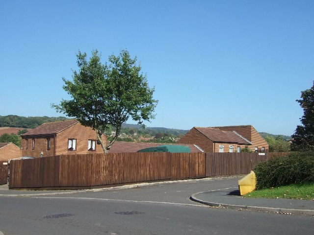
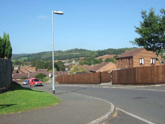
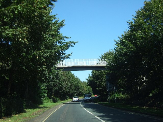
Milton, Lower Images

Images are sourced within 2km of 51.227092/-2.663754 or Grid Reference ST5347. Thanks to Geograph Open Source API. All images are credited.

Rocky Outcrop Seen from woods on Milton Hill
Rocky Outcrop
Seen from woods on Milton Hill
Dursdon Drove Dursdon Drove is a 3km (2 miles) track running roughly east/west between two north/south roads. In part, it is fairly well used as the West Mendip Way follows it for 800 metres (half a mile). But it still feels slightly odd, as there is absolutely no continuation at either end, and one wonders how the route originated.
Dursdon Drove
Dursdon Drove is a 3km (2 miles) track running roughly east/west between two north/south roads. In part, it is fairly well used as the West Mendip Way follows it for 800 metres (half a mile). But it still feels slightly odd, as there is absolutely no continuation at either end, and one wonders how the route originated.
Higher Pitts Farm This farm nestles in a slight dip on top of the Mendip Hills.
Higher Pitts Farm
This farm nestles in a slight dip on top of the Mendip Hills.
Charter Way, Wells Part of a modern estate north of the A371, Portway
Charter Way, Wells
Part of a modern estate north of the A371, Portway
Charter Way, Wells Part of a modern estate on the west of Wells
Charter Way, Wells
Part of a modern estate on the west of Wells
Footbridge over A39, Mountery Road
Single-track road in Stoberry Park
In the walled garden of Stoberry Park The walls of this garden are built of stone, in contrast to those of many estates where brick is used.
In the walled garden of Stoberry Park
The walls of this garden are built of stone, in contrast to those of many estates where brick is used.
Dursdon Drove Looking East along the drove from the point where the track to Higher Pitts Farm crosses it.
Dursdon Drove
Looking East along the drove from the point where the track to Higher Pitts Farm crosses it.
Dursdon Drove track The track to Higher Pitts Farm joins the Drove from the north, turns east, follows the Drove for 20 metres then turns south off the Drove to continue to the farm.  This view is looking west.
Dursdon Drove track
The track to Higher Pitts Farm joins the Drove from the north, turns east, follows the Drove for 20 metres then turns south off the Drove to continue to the farm. This view is looking west.
Wells Telephone Exchange (1) Situated on the A39 Mountery Road, this TE serves the city of Wells plus Bleadney, Burcott, Chilcote, Coxley, Dinder, Dulcote, East Horrington, Haybridge, Haydon, Henton, Polsham, West Horrington, Wookey, Wookey Hole and Yarley nearby. It has (01749) 67xxxx, 68xxxx numbers and its postcode is BA5 2QN.
Wells Telephone Exchange (1)
Situated on the A39 Mountery Road, this TE serves the city of Wells plus Bleadney, Burcott, Chilcote, Coxley, Dinder, Dulcote, East Horrington, Haybridge, Haydon, Henton, Polsham, West Horrington, Wookey, Wookey Hole and Yarley nearby. It has (01749) 67xxxx, 68xxxx numbers and its postcode is BA5 2QN.
Wells Telephone Exchange (2) Situated on the A39 Mountery Road, this TE comprises of the original building dating from the GPO era on the left, whilst the later extension can be seen in the background on the right.
Wells Telephone Exchange (2)
Situated on the A39 Mountery Road, this TE comprises of the original building dating from the GPO era on the left, whilst the later extension can be seen in the background on the right.
Wookey Hole - The Pay Booth A quiet day at Wookey Hole, in the summer this is a very busy place.
Wookey Hole - The Pay Booth
A quiet day at Wookey Hole, in the summer this is a very busy place.
Wookey Hole - Walkway This is the walkway that leads to the entrance of the caves.
Wookey Hole - Walkway
This is the walkway that leads to the entrance of the caves.
Wookey Hole - Here Be Dragons Murdock the dragon made of wood.
Wookey Hole - Here Be Dragons
Murdock the dragon made of wood.
Wookey Hole - Halloween A gruesome halloween display in the papermill.
Wookey Hole - Halloween
A gruesome halloween display in the papermill.
Wookey Hole - Cave Entrance This is where the River Axe leaves the cave complex for the open air.
Wookey Hole - Cave Entrance
This is where the River Axe leaves the cave complex for the open air.
Wookey Hole - Paper Mill Part of the Halloween display in the paper mill.
Wookey Hole - Paper Mill
Part of the Halloween display in the paper mill.
Show me another place!

Milton, Lower is located at Grid Ref: ST5347 (Lat: 51.227092, Lng: -2.663754)

Administrative County: Somerset

District: Mendip

Police Authority: Avon and Somerset

What 3 Words

///natural.vandalism.handwriting. Near Wells, Somerset

Related Wikis

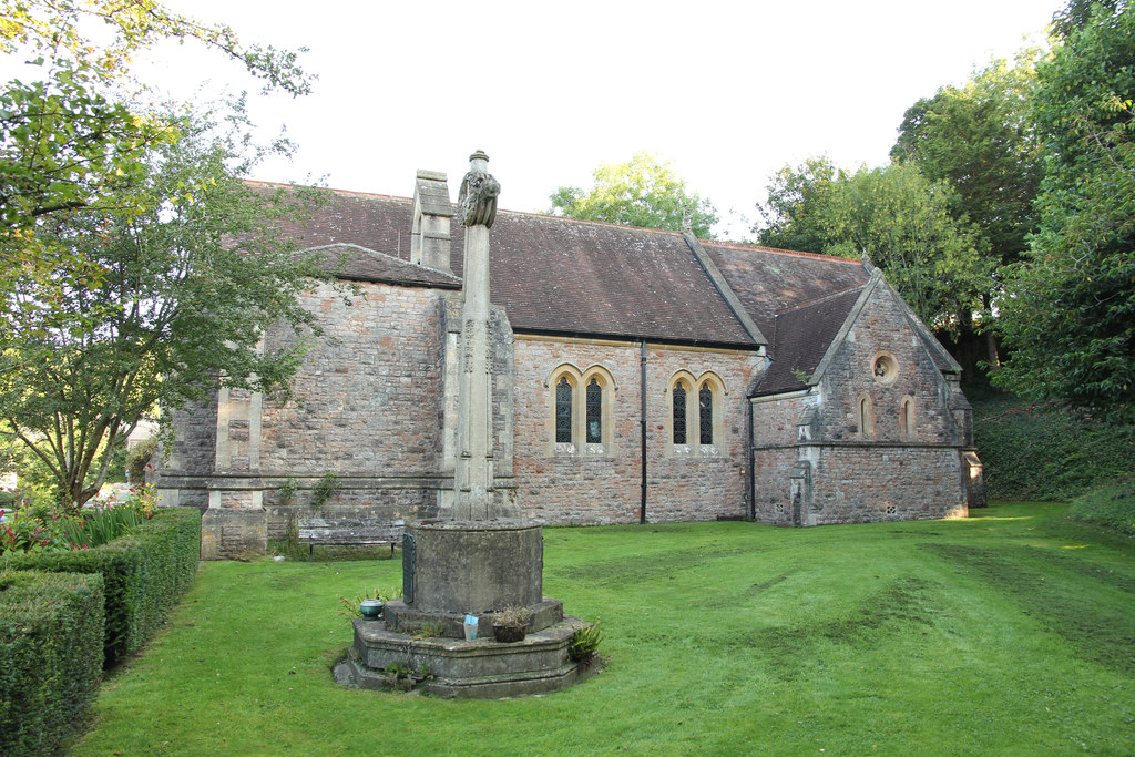
Church of St Mary Magdalene, Wookey Hole

The Church of St Mary Magdalene is a Church of England church in Wookey Hole, Somerset, England, dedicated to Jesus' companion Mary Magdalene. The church...

Wookey Hole Caves

Wookey Hole Caves () are a series of limestone caverns, a show cave and tourist attraction in the village of Wookey Hole on the southern edge of the Mendip...

Wookey Hole

Wookey Hole is a village in Somerset, England. It is the location of the Wookey Hole show caves. == Location == Wookey Hole is located in the civil parish...
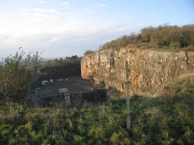
Underwood Quarry

Underwood Quarry is a former quarry near Wells, Somerset on the southern edge of the Mendip Hills that produced Carboniferous Limestone. The rock was described...
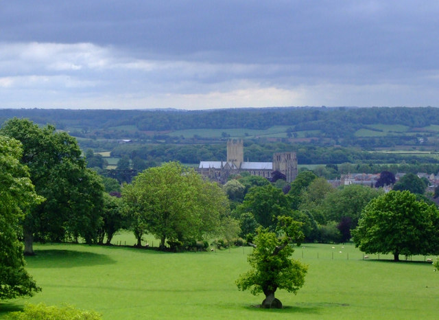
Milton Lodge

Milton Lodge is a house and garden overlooking the city of Wells in the English county of Somerset. The terraced garden, which was laid out in the early...
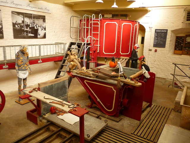
St Cuthberts Mill

St Cuthberts Mill is a British paper manufacturing company in Wells, Somerset, that specialises in mould made artists papers. The range includes traditional...
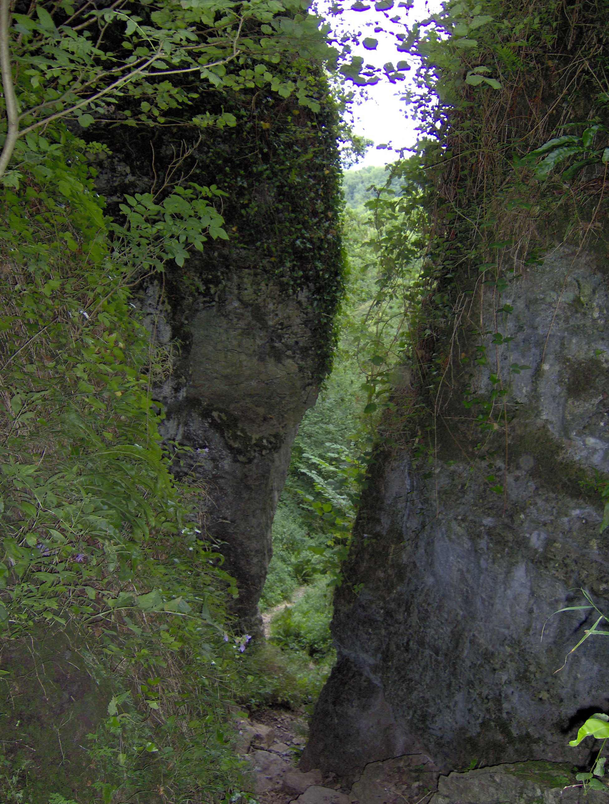
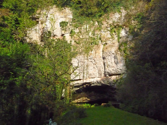
Ebbor Gorge

Ebbor Gorge is a limestone gorge in Somerset, England, designated and notified in 1952 as a 63.5-hectare (157-acre) biological Site of Special Scientific...

Wookey railway station

Wookey railway station was a station on the Bristol and Exeter Railway's Cheddar Valley line in Somerset, England. The site is a 0.04 hectare geological...

Nearby Amenities

Located within 500m of 51.227092,-2.663754
Lower Milton Caravan And Camping Site
Tourism: camp_site
Lat/Long: 51.2261024/-2.6621953
Barrier: stile
Lat/Long: 51.2262114/-2.6616597
Lower Milton
Place: hamlet
Lat/Long: 51.2267091/-2.6650194
Barrier: kissing_gate
Lat/Long: 51.2263967/-2.6708076
Barrier: stile
Lat/Long: 51.2264991/-2.6677847
Barrier: stile
Foot: yes
Material: wood
Stile: stepover
Lat/Long: 51.2295175/-2.6687979
The data included in this document is from www.openstreetmap.org. The data is made available under ODbL.

Have you been to Milton, Lower?

Leave your review of Milton, Lower below (or comments, questions and feedback).