Round Wood
Wood, Forest in Somerset Mendip
England
Round Wood
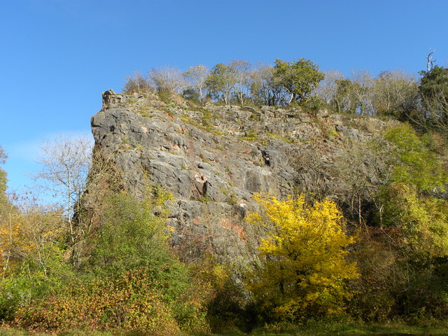
Round Wood is a small woodland located in the county of Somerset, England. It is situated near the village of Hinton St. George, approximately 5 miles south of the town of Crewkerne. Covering an area of around 50 acres, Round Wood is a beautiful and tranquil forest that is cherished by locals and visitors alike.
The woodland is predominantly composed of deciduous trees, including oak, beech, and ash, which provide a dense canopy and create a diverse ecosystem. The forest floor is adorned with a variety of flora, such as bluebells, primroses, and ferns, adding to the enchanting atmosphere of the wood.
Round Wood is home to a range of wildlife, with sightings of deer, foxes, badgers, and a myriad of bird species being common. The forest's peaceful ambiance makes it an ideal habitat for these creatures to thrive.
The wood offers several walking trails, allowing visitors to explore its natural beauty at their own pace. These paths wind through the dense foliage, leading to picturesque clearings and serene ponds. It is a popular spot for nature enthusiasts, photographers, and those seeking a peaceful retreat from the hustle and bustle of everyday life.
Round Wood holds significant historical and cultural value as well. It is believed to have been in existence for centuries, and remnants of ancient earthworks and boundary ditches can still be found within the woodland, providing a glimpse into its rich past.
Overall, Round Wood is a captivating forest that offers a tranquil escape and an opportunity to immerse oneself in the natural wonders of Somerset's countryside.
If you have any feedback on the listing, please let us know in the comments section below.
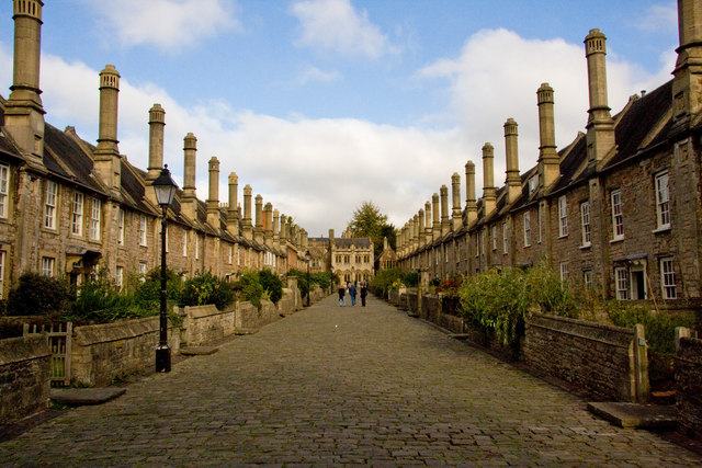
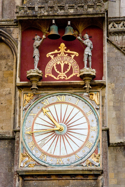
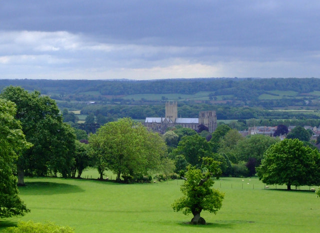
Round Wood Images
Images are sourced within 2km of 51.220616/-2.6607792 or Grid Reference ST5347. Thanks to Geograph Open Source API. All images are credited.


Round Wood is located at Grid Ref: ST5347 (Lat: 51.220616, Lng: -2.6607792)
Administrative County: Somerset
District: Mendip
Police Authority: Avon and Somerset
What 3 Words
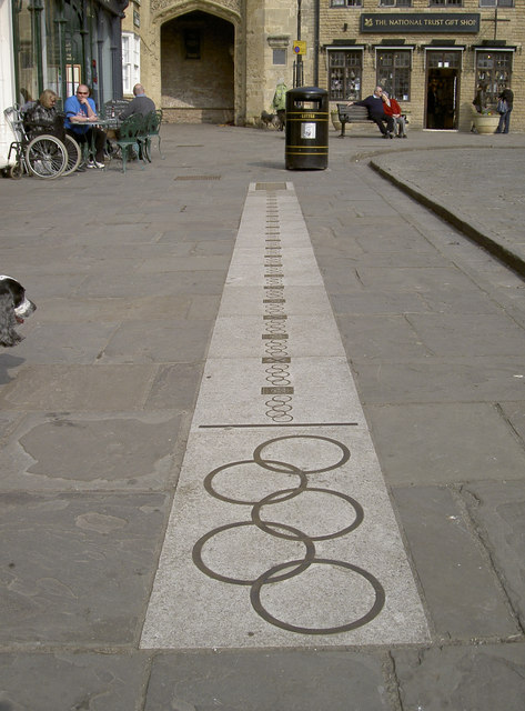
///stylists.supplier.tiles. Near Wells, Somerset
Nearby Locations
Related Wikis
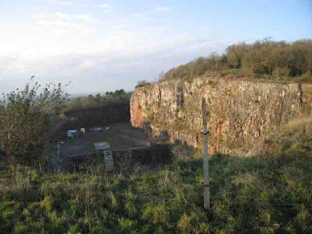
Underwood Quarry
Underwood Quarry is a former quarry near Wells, Somerset on the southern edge of the Mendip Hills that produced Carboniferous Limestone. The rock was described...
Milton Lodge
Milton Lodge is a house and garden overlooking the city of Wells in the English county of Somerset. The terraced garden, which was laid out in the early...
Church of St Mary Magdalene, Wookey Hole
The Church of St Mary Magdalene is a Church of England church in Wookey Hole, Somerset, England, dedicated to Jesus' companion Mary Magdalene. The church...

St Cuthberts Mill
St Cuthberts Mill is a British paper manufacturing company in Wells, Somerset, that specialises in mould made artists papers. The range includes traditional...
The Blue School, Wells
The Blue School is a coeducational, secondary school located in Wells, Somerset, England. It had 1,570 students aged 11 to 18 of both sexes and all ability...

Wookey Hole
Wookey Hole is a village in Somerset, England. It is the location of the Wookey Hole show caves. == Location == Wookey Hole is located in the civil parish...

Wookey railway station
Wookey railway station was a station on the Bristol and Exeter Railway's Cheddar Valley line in Somerset, England. The site is a 0.04 hectare geological...

Wookey Hole Caves
Wookey Hole Caves () are a series of limestone caverns, a show cave and tourist attraction in the village of Wookey Hole on the southern edge of the Mendip...
Nearby Amenities
Located within 500m of 51.220616,-2.6607792Have you been to Round Wood?
Leave your review of Round Wood below (or comments, questions and feedback).