Beech Wood
Wood, Forest in Cheshire
England
Beech Wood
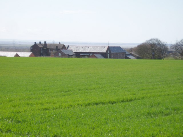
Beech Wood is a picturesque forest located in the rural area of Cheshire, England. The wood is primarily composed of beech trees, which give it its name and contribute to its unique charm and beauty. The forest covers a vast area of land, providing a haven for nature lovers and outdoor enthusiasts.
The dense canopy of beech trees creates a serene and peaceful atmosphere within the wood. The tall, straight trunks of these trees, with their distinctive smooth bark, add to the overall aesthetic appeal of the woodland. During the spring and summer months, the forest comes alive with a vibrant display of fresh green leaves, creating a wonderful contrast against the blue sky.
Beech Wood is home to a rich variety of flora and fauna, making it an ideal spot for wildlife enthusiasts. Birdwatchers can delight in the presence of various species, including woodpeckers, owls, and songbirds. The forest floor is adorned with a carpet of wildflowers, offering a burst of color and fragrance.
For those seeking outdoor activities, Beech Wood provides an excellent setting for hiking, walking, and cycling. The forest boasts a network of well-maintained trails that wind through the enchanting woodland, allowing visitors to explore its hidden corners and discover its hidden treasures.
Overall, Beech Wood in Cheshire is a natural haven that offers a tranquil escape from the hustle and bustle of everyday life. Its beauty, biodiversity, and recreational opportunities make it an ideal destination for nature lovers and adventurers alike.
If you have any feedback on the listing, please let us know in the comments section below.
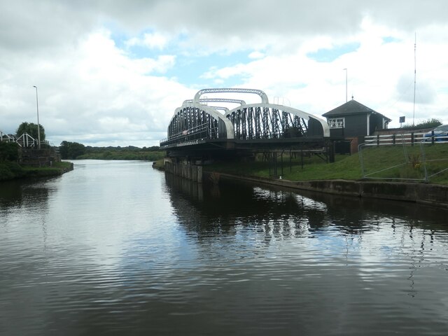
Beech Wood Images
Images are sourced within 2km of 53.314217/-2.6926575 or Grid Reference SJ5379. Thanks to Geograph Open Source API. All images are credited.
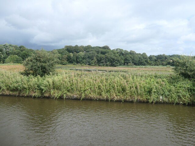
![Farmland between Frodsham Cut and the Weston Canal The Frodhsam Cut [marked by an embankment] is the original line of the Weaver Navigation. It was replaced by the Weston Canal in 1827, which created a new main line to Weston Point.](https://s3.geograph.org.uk/geophotos/06/93/73/6937359_d37fdf35.jpg)
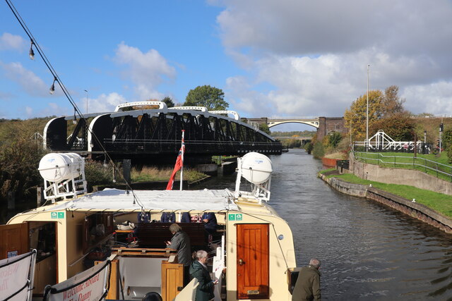
![Flooded land, west of Beckett's Wood On the east bank of the Weston Canal [Weaver Navigation].](https://s1.geograph.org.uk/geophotos/06/93/73/6937365_8466a8aa.jpg)


Beech Wood is located at Grid Ref: SJ5379 (Lat: 53.314217, Lng: -2.6926575)
Unitary Authority: Halton
Police Authority: Cheshire
What 3 Words
///shakes.unfit.squaring. Near Halton, Cheshire
Nearby Locations
Related Wikis

Halton railway station (Cheshire)
Halton railway station served Halton, Cheshire, England, on the Birkenhead Joint Railway. It was closed in 1952. == References == == Further reading... ==

Beechwood, Runcorn
Beechwood is a residential area of Runcorn, England. It was designated as part of Runcorn's New Town in 1964 and allocated for private housing in the masterplan...
Halton Curve
Halton Curve (now formally known as the Frodsham Single Line) is a short bi-directional railway line which links the Chester–Warrington line to the Weaver...
Sutton Weaver
Sutton Weaver is a village and civil parish in the unitary authority of Cheshire West and Chester, in the ceremonial county of Cheshire, England. It is...

Floodbrook Clough
Floodbrook Clough is an ancient woodland and site of special scientific interest which cuts through the centre of the Beechwood area of Runcorn, Cheshire...
Sutton Weaver railway station
Sutton Weaver railway station was located in Sutton Weaver, Cheshire, England. The station was opened by the London and North Western Railway on 1 April...

Hallwood, Cheshire
Hallwood is a former mansion house in Runcorn, Cheshire, England. One wing of the house remains and was a public house called the Tricorn until its closure...
Sutton Hall, Sutton Weaver
Sutton Hall is a historic farmhouse, south of the village of Sutton Weaver in Cheshire, England. It is recorded in the National Heritage List for England...
Nearby Amenities
Located within 500m of 53.314217,-2.6926575Have you been to Beech Wood?
Leave your review of Beech Wood below (or comments, questions and feedback).