Drum Head

Landscape Feature in Angus

Scotland

Drum Head

Potato crop in flower, Drummietermont
Potato crop in flower, Drummietermont Credit: JThomas

Drum Head, Angus is a prominent and distinctive landscape feature located in the county of Angus, Scotland. It is a large and prominent hill, with an elevation of approximately 1,109 feet (338 meters) above sea level.

The hill is located near the village of Glen Clova, within the Cairngorms National Park. It is part of the Grampian Mountains, a range known for its rugged beauty and stunning landscapes. Drum Head is surrounded by other notable hills and peaks, including Mayar and Driesh.

Drum Head offers breathtaking panoramic views of the surrounding countryside, making it a popular destination for hikers and nature enthusiasts. The hill is characterized by its steep slopes covered in heather and grasses, creating a vibrant and colorful landscape, particularly during the summer months.

The summit of Drum Head provides a vantage point from which visitors can admire the vast expanse of the Angus Glens, with their deep valleys, sparkling lochs, and abundant wildlife. On clear days, it is even possible to catch glimpses of the North Sea to the east.

Access to Drum Head is relatively straightforward, with well-marked trails and paths leading to the summit. The hill offers a range of hiking opportunities, suitable for both experienced walkers and beginners. However, it is advisable to come prepared with appropriate footwear and clothing, as the weather conditions in the area can be changeable and challenging.

Overall, Drum Head, Angus is a magnificent landscape feature that showcases the natural beauty of the Scottish Highlands. Its sweeping views, diverse flora, and tranquil surroundings make it a must-visit destination for those seeking to explore and appreciate the great outdoors.

If you have any feedback on the listing, please let us know in the comments section below.
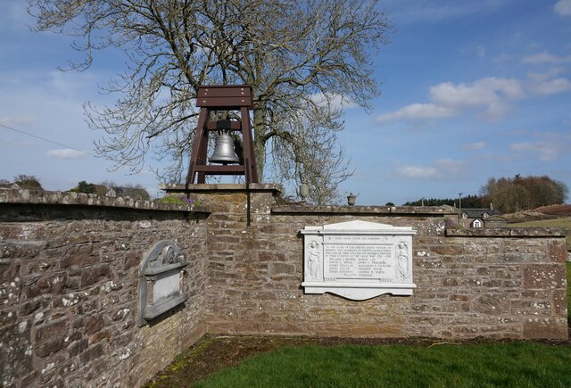
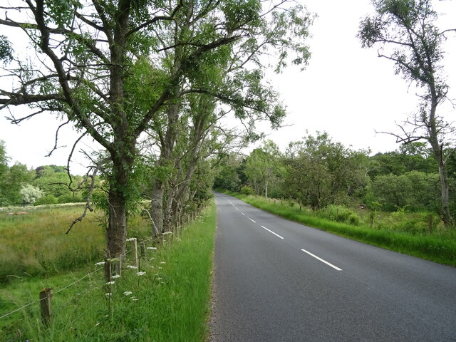
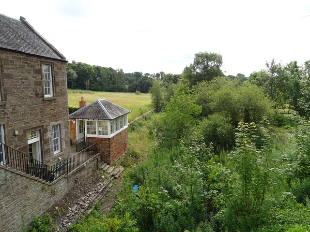
Drum Head Images

Images are sourced within 2km of 56.636915/-2.7523675 or Grid Reference NO5349. Thanks to Geograph Open Source API. All images are credited.

Potato crop in flower, Drummietermont
Cereal crop towards Drummietermont
Minor road near Drummietermont Towards the A932.
Minor road near Drummietermont
Towards the A932.
Potato crop, Backhow
Minor road, Backhow Towards the A932.
Minor road, Backhow
Towards the A932.
The Girdlestane A roadside surprise with an illegible signboard behind it. The rock is smooth and grey which would indicate an erratic transported from elsewhere by ice. Then one notices a faint circle inscribed in the stone and also some prehistoric cup marks, so obviously a stone of some significance. In later times it has been used as a parish boundary marker, and one story about its arrival here concerns not a glacier, but a witch who was carrying the stone on her back when the ties broke and the stone fell here. Not quite sure why any witch, strong or otherwise, would want to carry this.
The Girdlestane
A roadside surprise with an illegible signboard behind it. The rock is smooth and grey which would indicate an erratic transported from elsewhere by ice. Then one notices a faint circle inscribed in the stone and also some prehistoric cup marks, so obviously a stone of some significance. In later times it has been used as a parish boundary marker, and one story about its arrival here concerns not a glacier, but a witch who was carrying the stone on her back when the ties broke and the stone fell here. Not quite sure why any witch, strong or otherwise, would want to carry this.
Kirkden Graveyard Kirkden graveyard situated on the edge of the village of Letham contains graves from as early as 1739 and the bell mounted on the wall belongs to the kirk which was demolished in 1952.
Kirkden Graveyard
Kirkden graveyard situated on the edge of the village of Letham contains graves from as early as 1739 and the bell mounted on the wall belongs to the kirk which was demolished in 1952.
Potato crop and hedgerow near Finnieston
Farm road towards Newmill
Woodland, Milldens
Woodland, Milldens
A932 towards Friockheim
Woodland, Moore's Hill
A932 towards Forfar
A932 towards Forfar
Grazing towards Balgavies Loch
Minor road, Balgavies
Auldbar Road Station House On the former Caledonian Railway Perth - Aberdeen main line.
The station was closed to passengers in 1956, the line in 1967.
Auldbar Road Station House
On the former Caledonian Railway Perth - Aberdeen main line. The station was closed to passengers in 1956, the line in 1967.
Course of the Caledonian Railway Perth -  Aberdeen main line Closed in 1967.
Contrast with similar photo taken in 1997 - <a href="https://www.geograph.org.uk/photo/3243792">NO5350 : Eastward on course of former CR Perth - Aberdeen main line at Auldbar Road, 1997</a>
Course of the Caledonian Railway Perth - Aberdeen main line
Closed in 1967. Contrast with similar photo taken in 1997 - NO5350 : Eastward on course of former CR Perth - Aberdeen main line at Auldbar Road, 1997
The Bairn Osprey chick sitting on a path at Balgavies Loch Wildlife Reserve. We spotted the chick and were able to alert the warden. He came and we helped to help rescue her. We called her ‘The Bairn’ because she was wrapped in a towel and snuggled into my husband just like a little baby. One of the most wonderful days of my life to get so close to an amazing wild creature.
The Bairn
Osprey chick sitting on a path at Balgavies Loch Wildlife Reserve. We spotted the chick and were able to alert the warden. He came and we helped to help rescue her. We called her ‘The Bairn’ because she was wrapped in a towel and snuggled into my husband just like a little baby. One of the most wonderful days of my life to get so close to an amazing wild creature.
Show me another place!

Drum Head is located at Grid Ref: NO5349 (Lat: 56.636915, Lng: -2.7523675)

Unitary Authority: Angus

Police Authority: Tayside

What 3 Words

///rebounds.inspects.egging. Near Letham, Angus

Nearby Locations

Drum Head

Related Wikis

Auldbar Road railway station

Auldbar Road railway station was located near the town of Guthrie in the Scottish county of Angus. == History == Opened by the Arbroath and Forfar Railway...

Letham, Angus

Letham (Scots pronunciation: [ˈlɛθəm]) is a village in Angus, Scotland. Letham is the largest village in Angus, with a population of nearly 2,000. Situated...

Guthrie Castle

Guthrie Castle is a castle and country house in Angus, Scotland. It is located in the village of Guthrie, 10 kilometres (6.2 mi) east of Forfar, and 29...

Guthrie railway station

Guthrie railway station served the village of Guthrie, Angus, Scotland from 1838 to 1955 on the Arbroath and Forfar Railway. == History == The station...

Nearby Amenities

Located within 500m of 56.636915,-2.7523675
Bus Stop
Balmadies Road End
Bench: no
Naptan AtcoCode: 6490IM618
Naptan Bearing: SW
Naptan BusStopType: CUS
Naptan CommonName: Road End
Naptan Indicator: at Road End
Naptan Landmark: Balmadies
Naptan NaptanCode: 26423656
Naptan Verified: no
Shelter: no
Source: naptan_import
Lat/Long: 56.6351485/-2.7515832
Bus Stop
Balmadies Road End
Bench: no
Local Ref: opp
Naptan AtcoCode: 6490IM633
Naptan Bearing: NE
Naptan BusStopType: CUS
Naptan CommonName: Road End
Naptan Indicator: opp
Naptan Landmark: Balmadies Road End
Naptan NaptanCode: 26426486
Naptan Street: Unclassified Road
Naptan Verified: no
Shelter: no
Source: naptan_import
Lat/Long: 56.6353293/-2.7515368
Chapelton of Balmadies
Alt Name: Chapelton
Place: isolated_dwelling
Lat/Long: 56.6407455/-2.7548743
Power: pole
Lat/Long: 56.6396932/-2.7463018
Power: pole
Lat/Long: 56.6399819/-2.7474548
Power: pole
Lat/Long: 56.6402805/-2.7486202
Power: pole
Lat/Long: 56.640557/-2.7497017
Power: pole
Lat/Long: 56.6408335/-2.7507899
Power: pole
Lat/Long: 56.6411112/-2.7518581
Power: pole
Lat/Long: 56.6413815/-2.7529396
The data included in this document is from www.openstreetmap.org. The data is made available under ODbL.

Have you been to Drum Head?

Leave your review of Drum Head below (or comments, questions and feedback).