Howgate Head
Landscape Feature in Cumberland Carlisle
England
Howgate Head
Howgate Head is a prominent and distinctive landscape feature located in the county of Cumberland, England. Situated on the border of the Lake District National Park, it is a prominent hill that rises to an elevation of approximately 1,408 feet (429 meters) above sea level.
The hill is characterized by its steep slopes and rocky outcrops, which provide a stunning and rugged appearance. It is composed mainly of sedimentary rocks, including sandstone and shale, which have been shaped by erosion over millions of years.
The summit of Howgate Head offers breathtaking panoramic views of the surrounding countryside, including the nearby fells and valleys. On a clear day, it is possible to see as far as the Solway Firth and even the Scottish coastline.
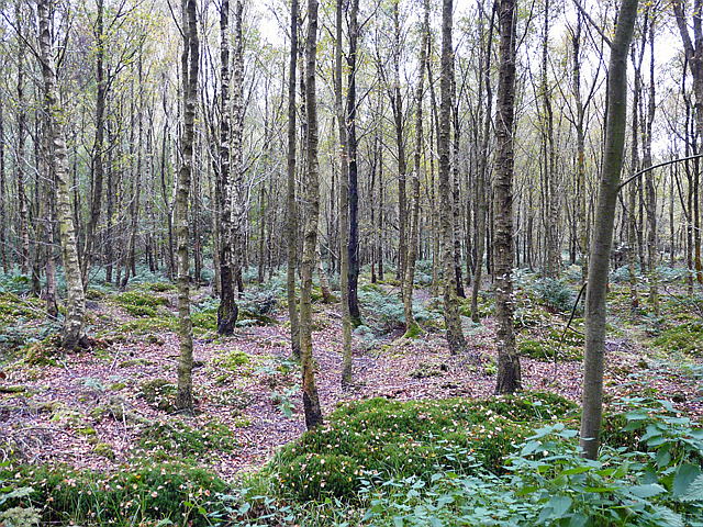
The hill is also home to a diverse range of flora and fauna. The lower slopes are covered in grasses, heather, and bracken, while the higher areas are dominated by hardy mountain plants such as bilberry and mosses. The hill is also a habitat for various bird species, including curlews, lapwings, and red grouse.
Howgate Head is a popular destination for hikers and outdoor enthusiasts who are drawn to its natural beauty and challenging terrain. Several footpaths traverse the hill, allowing visitors to explore its slopes and enjoy the stunning vistas. The hill's unique geology and rich biodiversity make it a significant landscape feature in the region, attracting both locals and tourists alike.
If you have any feedback on the listing, please let us know in the comments section below.
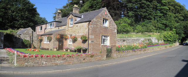
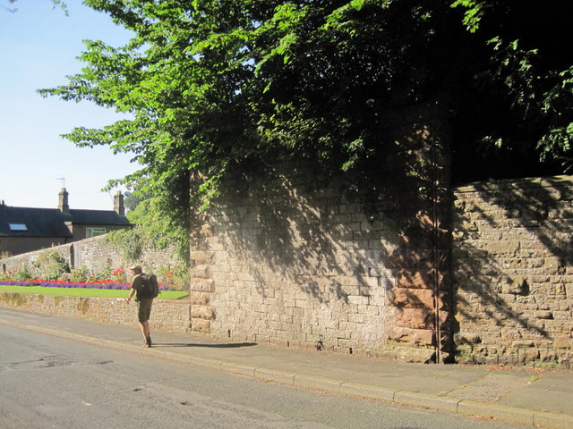
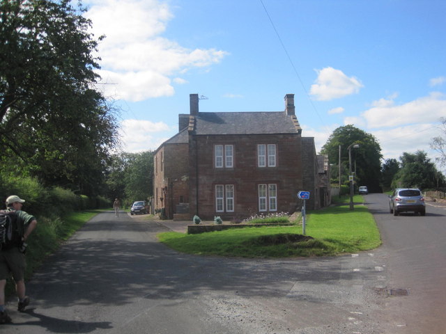
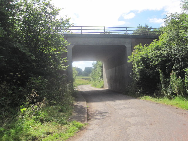
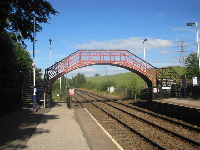
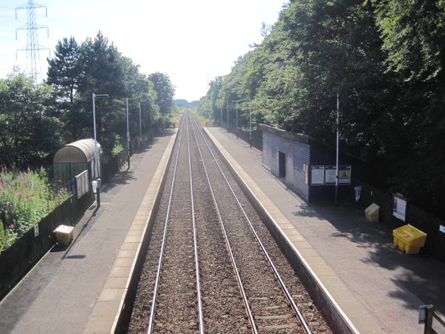
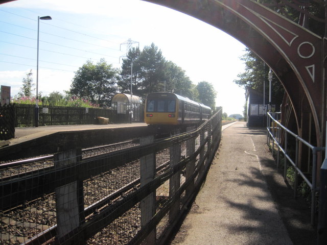
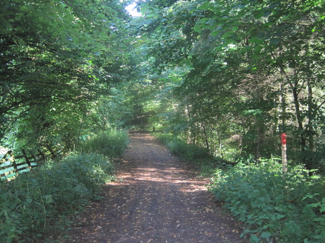
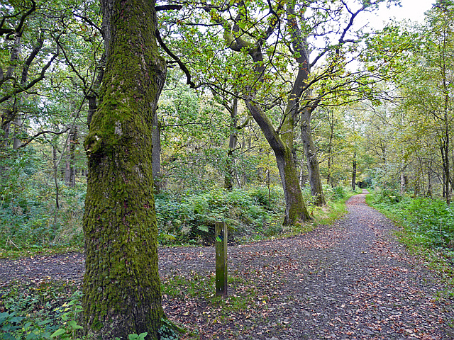
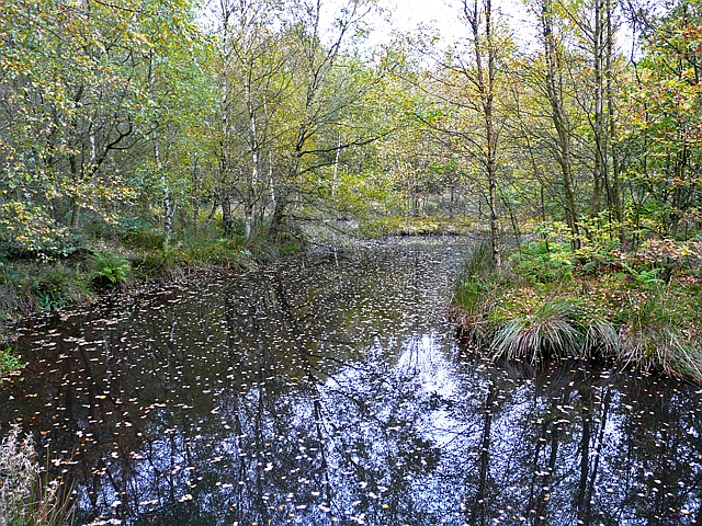
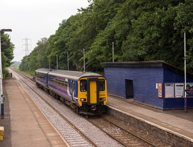
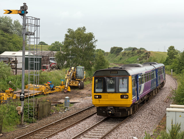
Howgate Head Images
Images are sourced within 2km of 54.943/-2.7139661 or Grid Reference NY5461. Thanks to Geograph Open Source API. All images are credited.

Howgate Head is located at Grid Ref: NY5461 (Lat: 54.943, Lng: -2.7139661)
Administrative County: Cumbria
District: Carlisle
Police Authority: Cumbria
What 3 Words
///inflating.hails.users. Near Brampton, Cumbria
Nearby Locations
Related Wikis
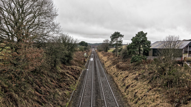
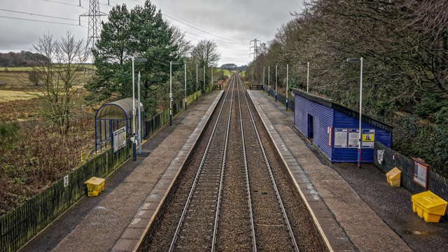
Brampton Town railway station
Brampton Town railway station was the terminus of the Brampton Town Branch, in the centre of Brampton, Cumbria, England. It was opened in 1775, to work...

Brampton, Carlisle
Brampton is a market town and civil parish in the Cumberland unitary authority of Cumbria, England. It is 9 miles (14 km) east of Carlisle and 2 miles...

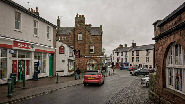
Moot Hall, Brampton
The Moot Hall is a municipal building in The Market Place in Brampton, Cumbria, England. The building, which is used as a local tourist information office...
Brampton railway station (Cumbria)
Brampton (Cumbria) is a railway station on the Tyne Valley Line, which runs between Newcastle and Carlisle via Hexham. The station, situated 10 miles 62...
Nearby Amenities
Located within 500m of 54.943,-2.7139661Have you been to Howgate Head?
Leave your review of Howgate Head below (or comments, questions and feedback).