Ash Plantation
Wood, Forest in Huntingdonshire Huntingdonshire
England
Ash Plantation
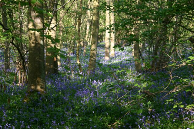
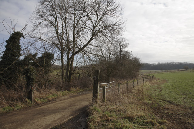
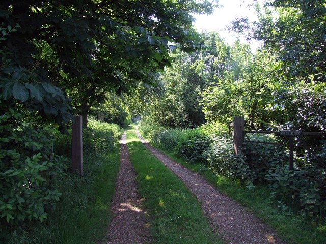
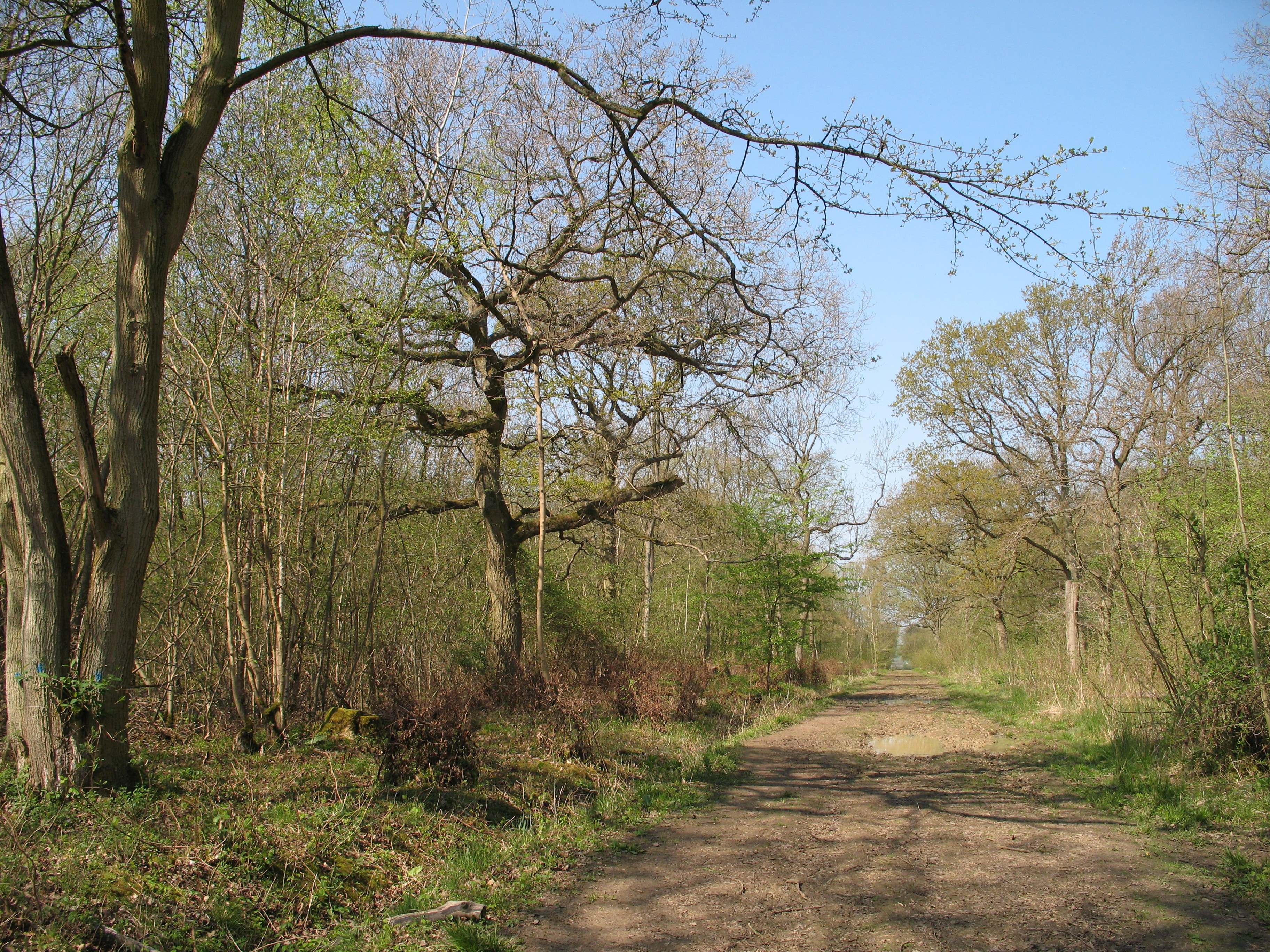
Ash Plantation is a wooded area located in the county of Huntingdonshire, England. Situated near the town of Huntingdon, it covers an approximate area of 50 hectares. The plantation primarily consists of ash trees, which are the dominant species within the woodland.
The trees in Ash Plantation are of varying ages, with some being several decades old, while others are relatively young. This diversity in age provides a rich and diverse habitat for a wide range of flora and fauna. The dense canopy created by the ash trees provides ample shade and shelter for smaller plants and animals.
The forest floor is covered in a thick layer of leaf litter, which not only serves as a natural fertilizer but also provides a habitat for various invertebrates. This, in turn, attracts a variety of bird species that feed on these insects.
Ash Plantation is a popular destination for nature enthusiasts and outdoor enthusiasts alike. It offers numerous walking trails, allowing visitors to explore the woodland and immerse themselves in its natural beauty. The peaceful ambiance and tranquil surroundings make it an ideal location for those seeking solace and a break from the hustle and bustle of daily life.
Furthermore, the plantation is managed by local authorities who ensure the preservation of the woodland and its biodiversity. They undertake regular maintenance activities such as tree pruning and removal of invasive species to maintain the health and vitality of the woodland ecosystem.
Overall, Ash Plantation in Huntingdonshire is a picturesque and well-maintained woodland that offers a haven for wildlife and a peaceful retreat for visitors.
If you have any feedback on the listing, please let us know in the comments section below.
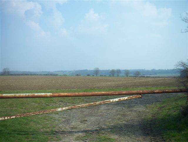
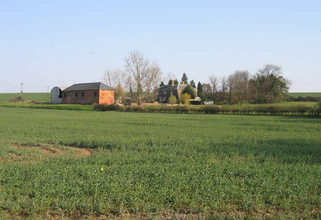
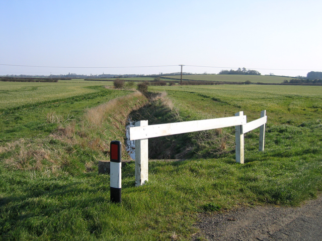
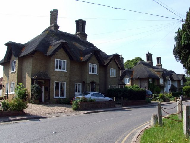
Ash Plantation Images
Images are sourced within 2km of 52.182652/-0.18143702 or Grid Reference TL2455. Thanks to Geograph Open Source API. All images are credited.

Ash Plantation is located at Grid Ref: TL2455 (Lat: 52.182652, Lng: -0.18143702)
Administrative County: Cambridgeshire
District: Huntingdonshire
Police Authority: Cambridgeshire
What 3 Words
///estimate.ratio.flickers. Near Great Gransden, Cambridgeshire
Nearby Locations
Related Wikis

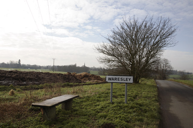
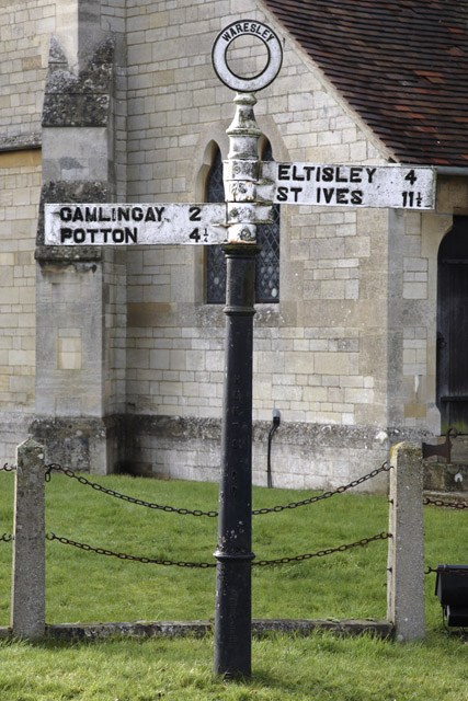
Waresley
Waresley is a village and former civil parish, now in the parish of Waresley-cum-Tetworth, in Cambridgeshire, England. Waresley lies approximately 11 miles...
Waresley and Gransden Woods
Waresley and Gransden Woods is a 50-hectare (120-acre) nature reserve between Waresley and Great Gransden in Cambridgeshire, England. It is managed by...

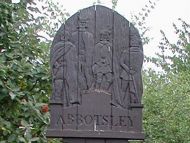
Abbotsley
Abbotsley is a village and civil parish within the Huntingdonshire district of Cambridgeshire, England. It is three miles from St Neots and 14 miles from...

Gamlingay Wood
Gamlingay Wood is a 48.4-hectare (120-acre) biological Site of Special Scientific Interest (SSSI) north of Gamlingay in Cambridgeshire. It is managed by...

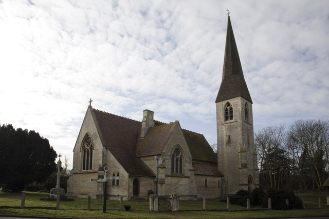
St Margaret's Church, Abbotsley
St Margaret's Church is a historic Anglican church in the village of Abbotsley, Cambridgeshire, England. It is recorded in the National Heritage List...

Weaveley and Sand Woods
Weaveley and Sand Woods is a 62.0-hectare (153-acre) biological Site of Special Scientific Interest north of Gamlingay in Cambridgeshire.This site has...

Little Gransden Airfield
Little Gransden Airfield (ICAO: EGMJ) is an unlicensed airfield located near the village of Little Gransden, 5 NM (9.3 km; 5.8 mi) southeast of St Neots...

Great Gransden
Great Gransden is a civil parish and village in the Huntingdonshire district of Cambridgeshire, England. In 2001, the parish population was 969, which...
Nearby Amenities
Located within 500m of 52.182652,-0.18143702Have you been to Ash Plantation?
Leave your review of Ash Plantation below (or comments, questions and feedback).