Lily Hill
Hill, Mountain in Huntingdonshire Huntingdonshire
England
Lily Hill
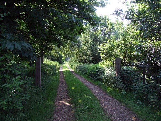
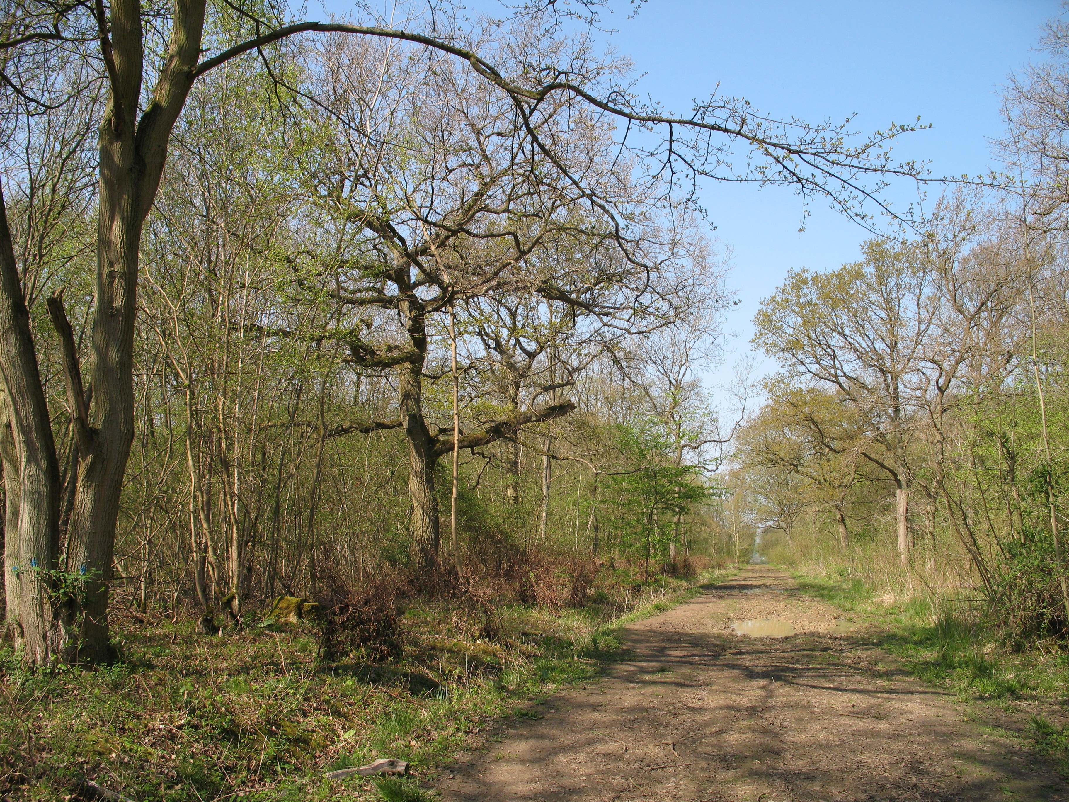
Lily Hill, located in the county of Huntingdonshire, is a prominent hill that offers picturesque views and is a popular destination for outdoor enthusiasts. Standing at an elevation of approximately 300 feet, it is often referred to as Lily Mountain due to its significant height in the surrounding area.
Covered with lush greenery, Lily Hill boasts a diverse range of flora and fauna, making it a haven for nature lovers. The hill is known for its vibrant wildflowers, including lilies that bloom during the summer months, giving it its name. The landscape is also adorned with a variety of trees, such as oak and beech, adding to its natural beauty.
Hikers and walkers are drawn to Lily Hill for its well-maintained trails, providing opportunities for leisurely strolls or more challenging hikes. The paths meander through the hill, allowing visitors to explore its different vantage points and take in the breathtaking views of the surrounding countryside.
The hill is also home to several species of birds and small mammals, making it a prime spot for birdwatching and wildlife spotting. Binoculars in hand, visitors may catch glimpses of buzzards soaring overhead or rabbits darting across the fields.
Lily Hill is easily accessible, with a car park at its base and nearby public transportation options. The hill is a peaceful retreat, offering a serene environment for those seeking solace or a break from the bustling city life.
Overall, Lily Hill stands as a natural gem in Huntingdonshire, inviting visitors to immerse themselves in its scenic beauty and experience the tranquility it has to offer.
If you have any feedback on the listing, please let us know in the comments section below.
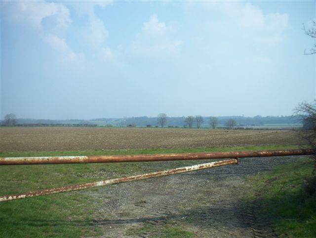
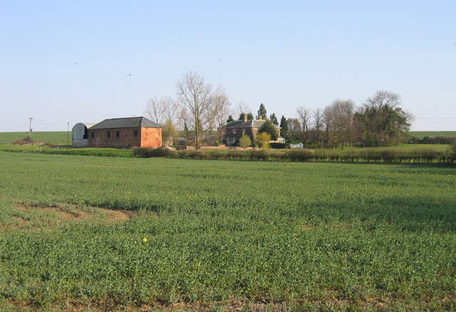
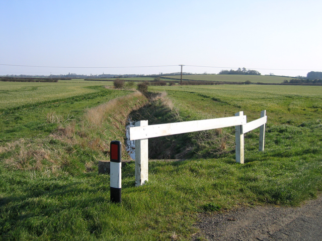
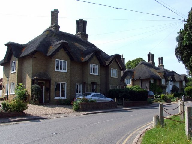
Lily Hill Images
Images are sourced within 2km of 52.184055/-0.18551952 or Grid Reference TL2455. Thanks to Geograph Open Source API. All images are credited.

Lily Hill is located at Grid Ref: TL2455 (Lat: 52.184055, Lng: -0.18551952)
Administrative County: Cambridgeshire
District: Huntingdonshire
Police Authority: Cambridgeshire
Also known as: Bullby Hill
What 3 Words
///spinning.modes.concluded. Near Great Gransden, Cambridgeshire
Nearby Locations
Related Wikis

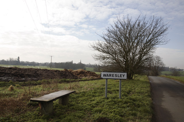
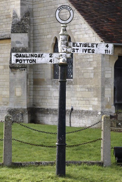
Waresley
Waresley is a village and former civil parish, now in the parish of Waresley-cum-Tetworth, in Cambridgeshire, England. Waresley lies approximately 11 miles...

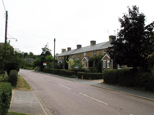
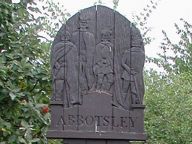
Abbotsley
Abbotsley is a village and civil parish within the Huntingdonshire district of Cambridgeshire, England. It is three miles from St Neots and 14 miles from...

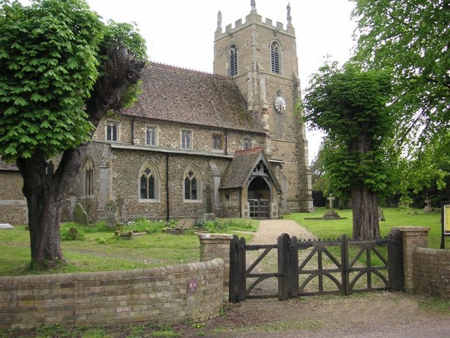
St Margaret's Church, Abbotsley
St Margaret's Church is a historic Anglican church in the village of Abbotsley, Cambridgeshire, England. It is recorded in the National Heritage List...

Gamlingay Wood
Gamlingay Wood is a 48.4-hectare (120-acre) biological Site of Special Scientific Interest (SSSI) north of Gamlingay in Cambridgeshire. It is managed by...
Waresley and Gransden Woods
Waresley and Gransden Woods is a 50-hectare (120-acre) nature reserve between Waresley and Great Gransden in Cambridgeshire, England. It is managed by...

Weaveley and Sand Woods
Weaveley and Sand Woods is a 62.0-hectare (153-acre) biological Site of Special Scientific Interest north of Gamlingay in Cambridgeshire.This site has...

Little Gransden Airfield
Little Gransden Airfield (ICAO: EGMJ) is an unlicensed airfield located near the village of Little Gransden, 5 NM (9.3 km; 5.8 mi) southeast of St Neots...

Great Gransden
Great Gransden is a civil parish and village in the Huntingdonshire district of Cambridgeshire, England. In 2001, the parish population was 969, which...
Nearby Amenities
Located within 500m of 52.184055,-0.18551952Have you been to Lily Hill?
Leave your review of Lily Hill below (or comments, questions and feedback).